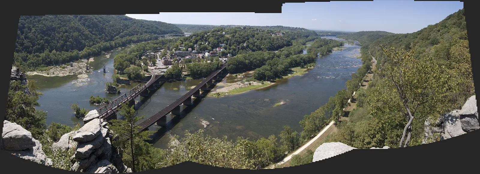
New River Gorge National Park and Preserve protects a deep, forested canyon in southern West Virginia, where the New River has carved through more than 1,000 feet of sandstone and shale. It became a national river in 1978 and was redesignated as a national park and preserve at the end of 2020, but the gorge has long been known to rafters, rock climbers and anyone who has driven across its soaring steel bridge.
AT A GLANCE
Best time
Late April to June for green forest and rafting; late September to October for fall color and Bridge Day.
How long
Three to four days covers the highlights and a day on the river.
Getting there
Drive via U.S. 19 or I-64 and I-77; nearest airports are Beckley and Charleston.
Why visit New River Gorge
Despite its name, the New River is considered one of the oldest rivers on the continent. It begins in North Carolina, flows north through Virginia and cuts across West Virginia before joining the Gauley to form the Kanawha.
That coal shaped everything here. When the Chesapeake and Ohio Railway arrived in 1873, more than 50 company towns sprang up along the river.
The gorge is also a playground. The Lower New offers some of the best whitewater in the East, and its sandstone cliffs host more than 1,400 established climbing routes. Hiking, mountain biking, fishing and scenic drives round out a trip.
The bridge and the canyon rim near Fayetteville
The northern part of the park, around Lansing and Fayetteville, has the most famous views and the easiest access. Start here if you only have a day.
Canyon Rim Visitor Center
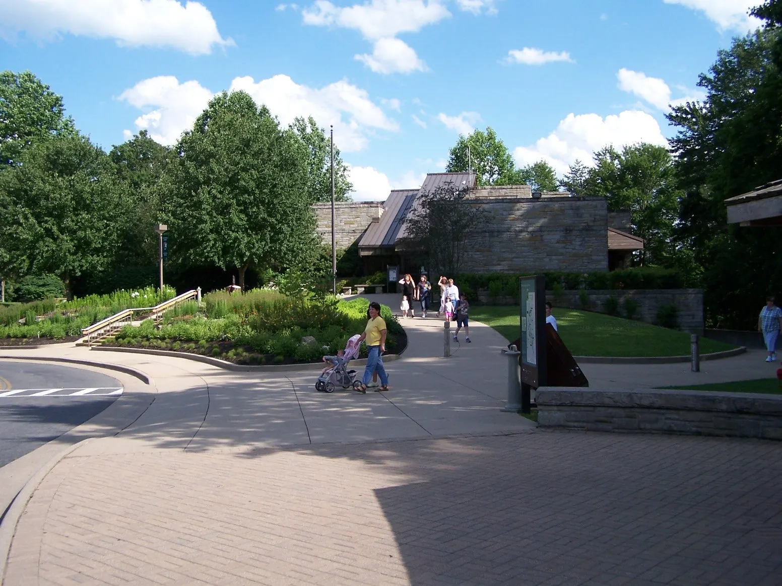
Just north of the bridge on U.S. 19, this year-round visitor center has exhibits on the gorge's history and ecology, a bookstore and rangers who can advise on trail conditions. Behind it, a boardwalk leads down to two overlooks facing the New River Gorge Bridge. Allow an hour.
New River Gorge Bridge
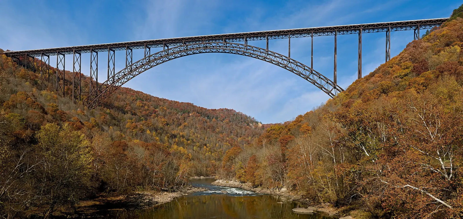
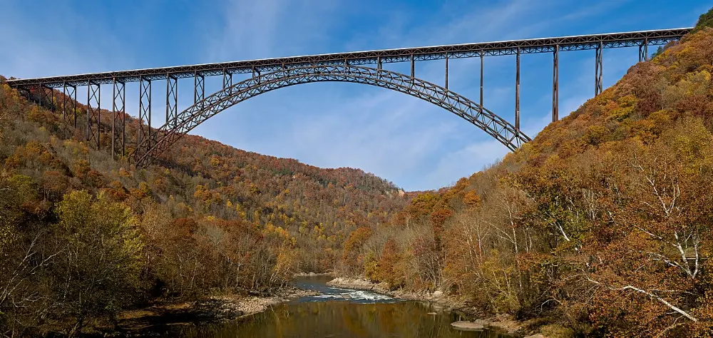
Completed in 1977, this steel arch bridge is 3,030 feet long and its roadway sits 876 feet above the river. Its 1,700-foot arch was the longest single-span arch in the world for 26 years, and it appears on West Virginia's state quarter.
Fayette Station Road
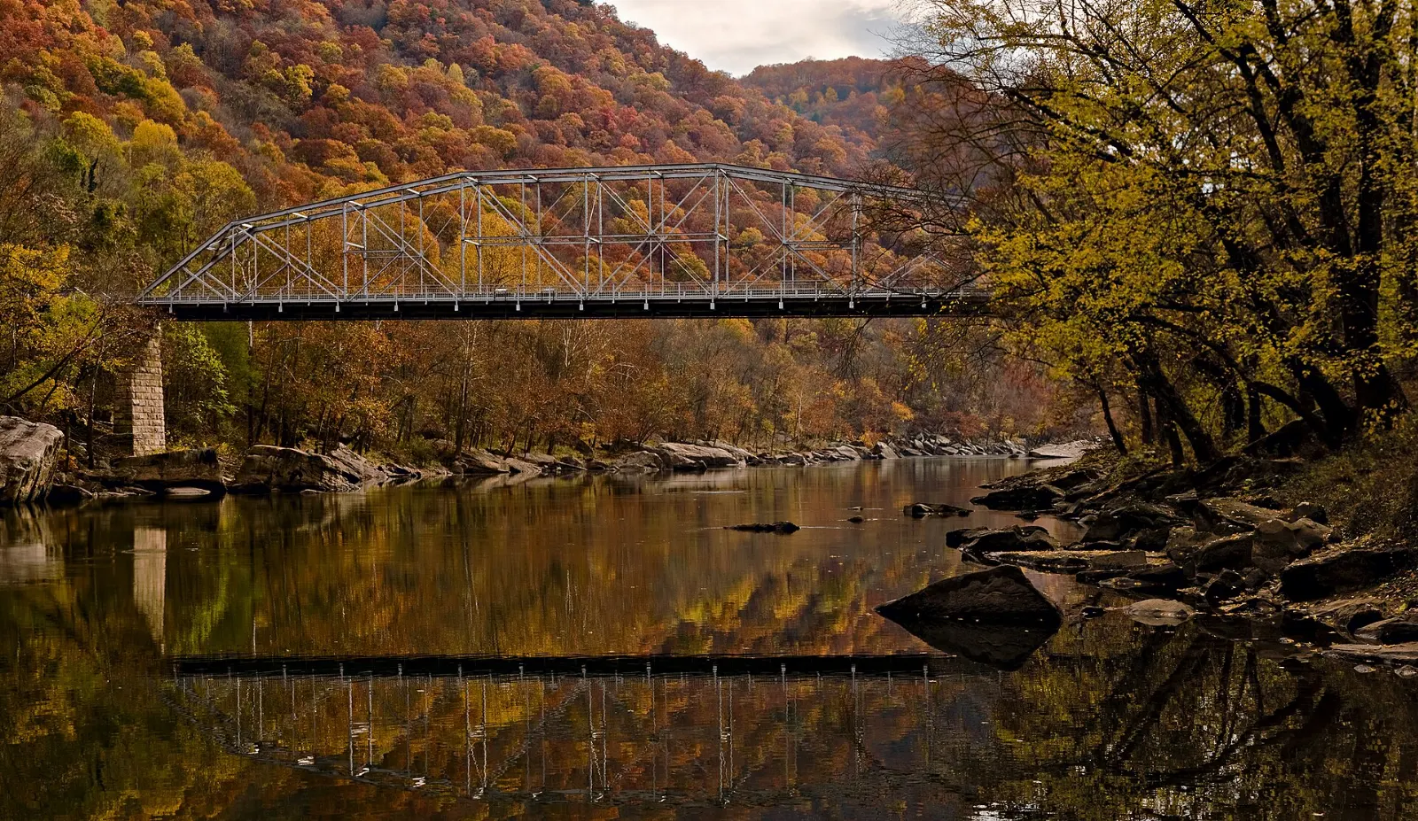
This narrow, twisting road descends from Fayetteville to the bottom of the gorge, crosses the river on a low bridge and climbs back up the other side, with views straight up at the big arch. It follows the route travelers had to take before the high bridge opened. Allow about an hour.
Long Point and Endless Wall Trails
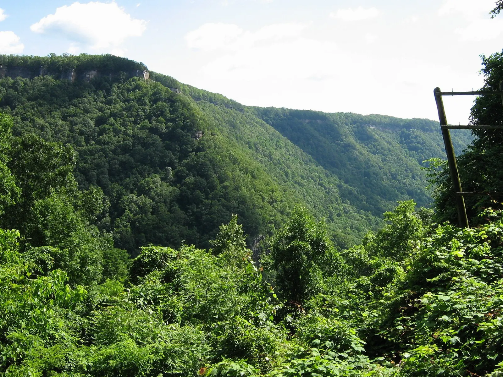
Two of the park's most popular hikes start near the rim. The Long Point Trail is a mostly gentle walk through forest to a rock outcrop with a head-on view of the bridge, roughly three miles round trip.
Coal towns and railroad history
The gorge holds the remains of dozens of mining and railroad towns.
Kaymoor
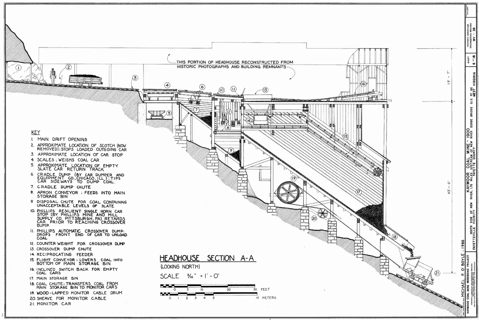
Opened in 1899 to supply coal and coke to an iron company in Virginia, Kaymoor was a mine at one level of the gorge wall and a town at the bottom, linked by inclines that carried workers and coal until 1962.
Nuttallburg
On the north side of the river, Nuttallburg is one of the most complete coal mining complexes in the park, with a restored conveyor and tipple, foundations of homes and trails that climb to the mine entrances.
Thurmond
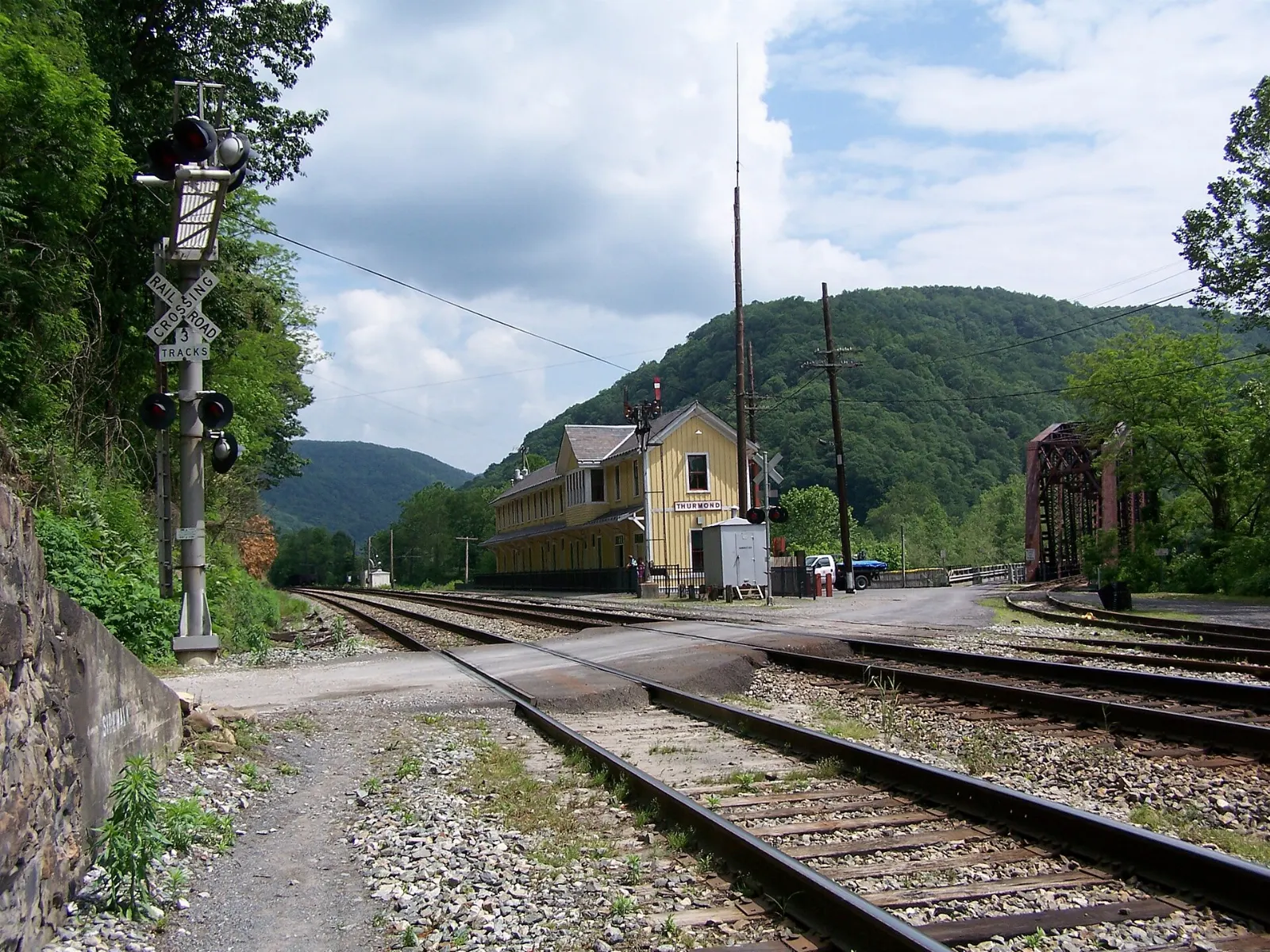
Once a bustling railroad hub, Thurmond is now the least populous municipality in West Virginia, with a handful of residents and a row of old commercial buildings facing the tracks.
Grandview, Sandstone Falls and the neighboring state parks
The southern half of the park is quieter, with broad views and a gentler river, while two state parks on the northern edge add easy, family-friendly stops.
Grandview
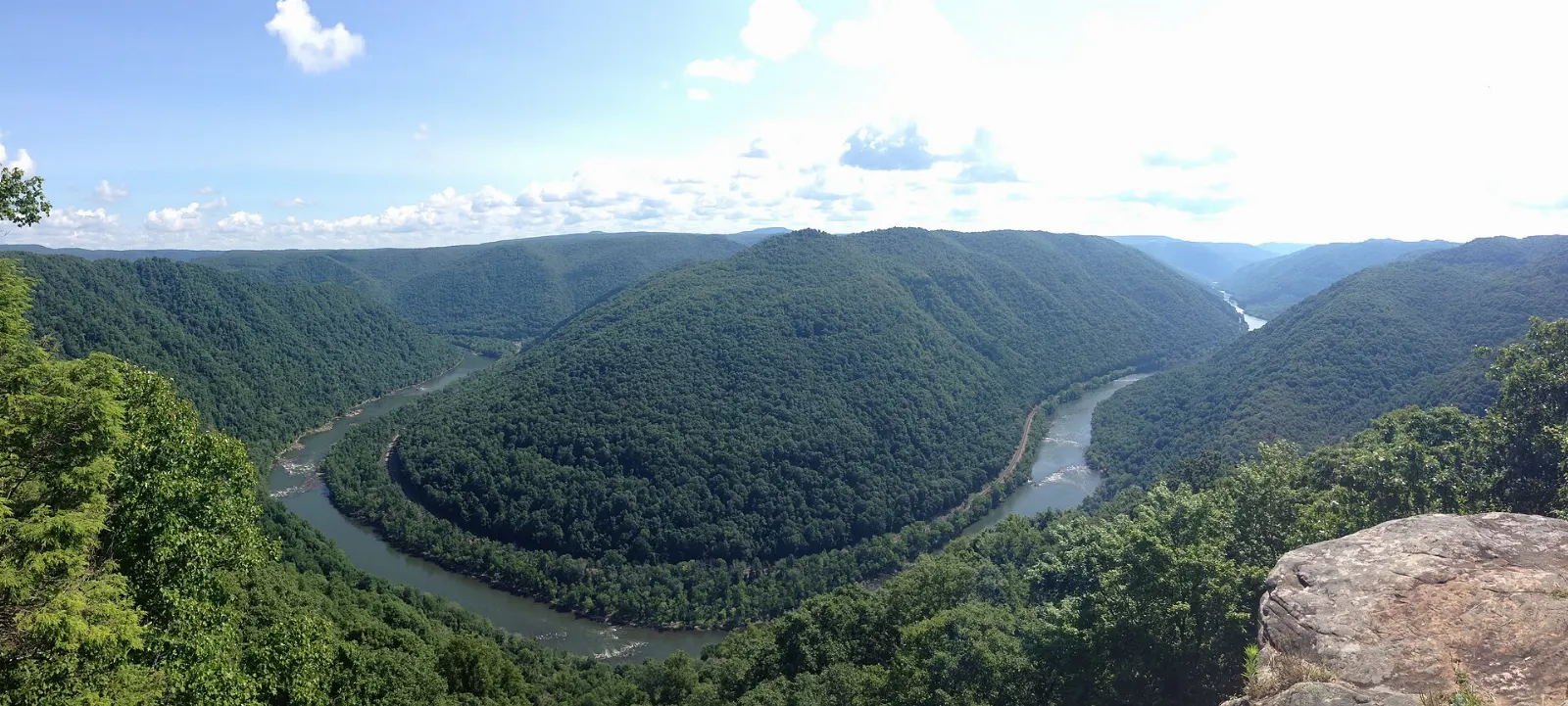
Near Beckley, Grandview sits high above a sweeping horseshoe bend of the New River, where you can often watch coal trains crawling along the tracks far below.
Sandstone Falls
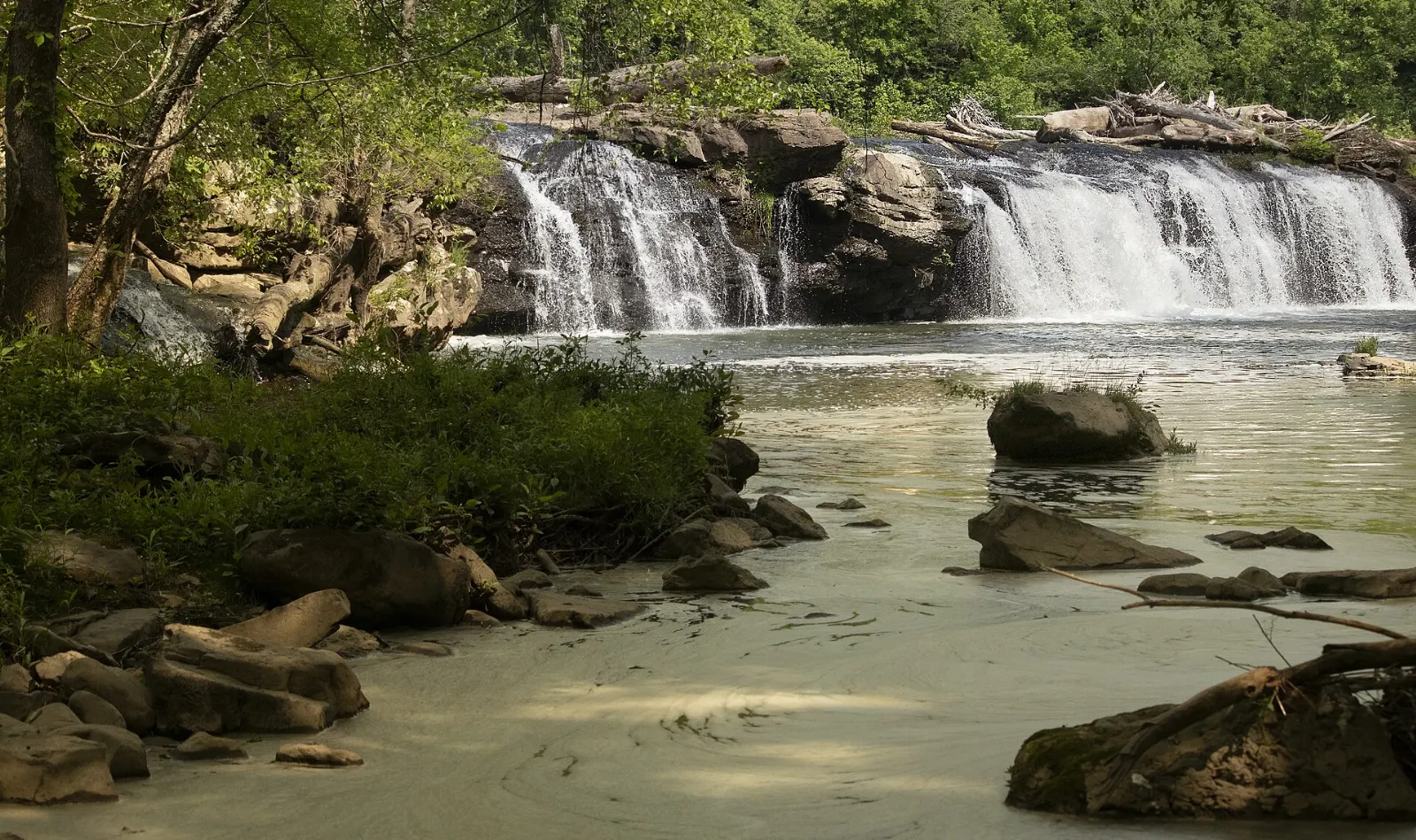
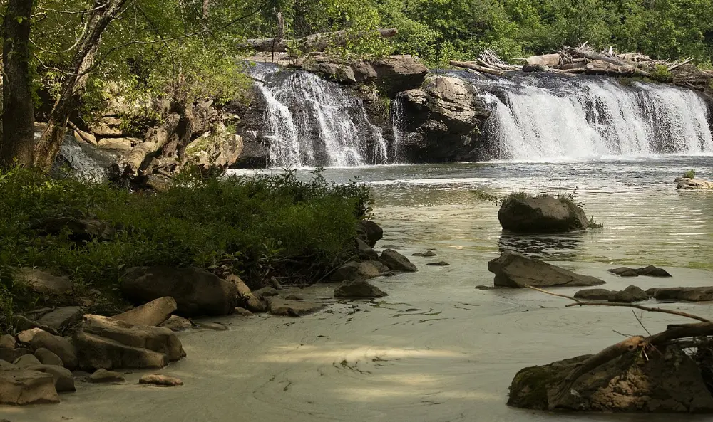
Near Hinton, the river spreads out and drops over a ledge that spans its full width. A boardwalk crosses small islands to viewing platforms close to the water.
Babcock State Park
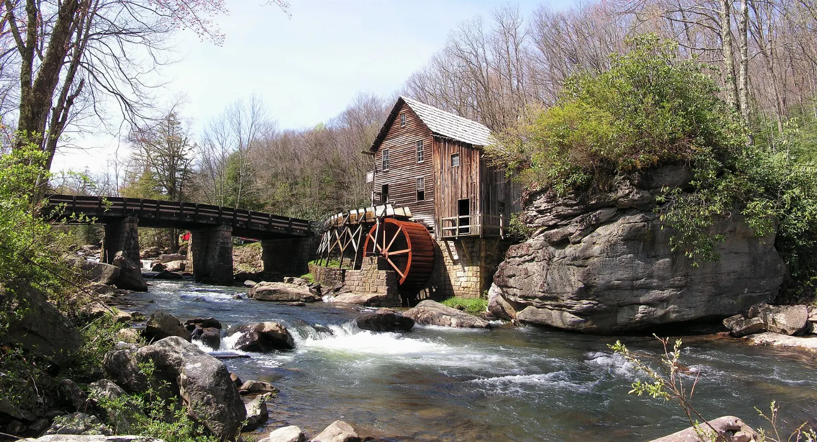
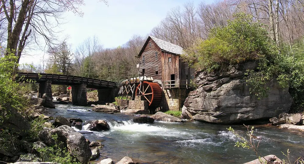
Adjoining the park, Babcock covers more than 4,000 wooded acres around Glade Creek. Its photogenic Glade Creek Grist Mill, built in 1976 from parts of three older mills, still grinds cornmeal and buckwheat flour that you can buy.
Hawks Nest State Park
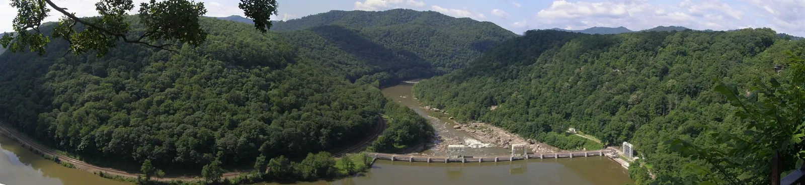
At the northern end of the gorge near Ansted, the clifftop overlook along U.S. 60 looks down about 750 feet to the river. The original stone building, built by the Civilian Conservation Corps, now houses a small museum and gift shop.
 Planning a trip to New River Gorge National Park?Compare hotels, flights and vacation rentals for New River Gorge National Park on Expedia.Book now
Food and local flavors
Food around the gorge is hearty and unfussy, built for people coming off the river or down from the cliffs.
Look also for soup beans and cornbread, biscuits and gravy, slow-smoked barbecue and fried green tomatoes. In spring, ramps, a wild onion with a strong garlicky flavor, appear on menus and at local festivals.
Popular dishes to try in New River Gorge National Park


Where to stay
Fayetteville is the best all-round base, a walkable small town with a historic courthouse, restaurants and outfitters, just minutes from the bridge and the main rim trails. It suits couples, climbers and first-time visitors.
Beckley has the widest range of chain lodging and is convenient for Grandview and the southern half of the park. Hinton is a quiet historic railroad town near Sandstone Falls and Bluestone Lake, good for slower trips.
Where to stay in New River Gorge National Park
Best time to visit
Spring, April to June, brings green forest, wildflowers, blooming rhododendrons and higher water levels on the river.
Summer, July and August, is warm and humid, perfect for swimming holes and gentler float trips, but it is also the busiest time on the rim trails.
Fall, September and October, is many visitors' favorite season.
Winter, November to March, is quiet and cold, with occasional snow and ice on the roads.
Getting there and getting around
By air: Raleigh County Memorial Airport in Beckley is the closest, though service is limited.
By train: Amtrak's Cardinal runs through the gorge, timed to pass in daylight for most of the year, and stops at small stations including Prince and Hinton.
In the park: Some roads into the gorge, including Fayette Station Road and the road to Nuttallburg, are narrow and steep, and not suitable for RVs or trailers.
A suggested itinerary
First day
Begin at the Canyon Rim Visitor Center and its bridge overlooks, then hike the Long Point Trail.
Second day
Spend the day on the river with a licensed outfitter, either a full-day whitewater trip on the Lower New or a gentler float on the upper river.
Third day
Explore coal history at Kaymoor or Nuttallburg in the morning, then drive to Thurmond to see the depot and old main street.
Fourth day
Head to Grandview for the morning view over the river bend, then continue to the Sandstone Visitor Center and Sandstone Falls, ending in Hinton.
Practical tips
- Book rafting trips, cabins and Bridge Walk tours well ahead for summer weekends and October.
- Raft only with a licensed outfitter unless you are an experienced whitewater paddler, as the Lower New has Class III to Class V rapids.
- Arrive early at popular trailheads such as Long Point and Endless Wall, where parking is limited.
- Stay well back from cliff edges, which are often unfenced and can be slippery after rain.
- Cell service is patchy in the gorge, so download maps and directions before you leave town.
- Pack layers, rain gear and sturdy shoes; temperatures drop noticeably on the river and in the shade.
Find local businesses in Fayetteville on WiserMap
Looking for an outfitter, a cafe after a long hike or somewhere to stay near the bridge?