Wood Buffalo National Park is a vast, quiet wilderness straddling northern Alberta and the southern Northwest Territories. It is bigger than Switzerland, and most of it is boreal forest, wetlands and river delta that you reach by a single paved road, a small plane or a boat.
AT A GLANCE
Best time
Summer for hiking, paddling and tours, and winter for northern lights under dark skies.
How long
Allow two to four days, since distances are long and services are limited.
Getting there
Drive from Hay River to Fort Smith on Highway 5, or fly into Fort Smith from Edmonton.
Why visit Wood Buffalo National Park
This is Canada's largest national park, covering more than 44,000 square kilometres, and the second largest in the world. It was established in 1922 to protect the world's largest free-roaming herd of wood bison, and UNESCO listed it as a World Heritage Site in 1983 for its bison and the Peace-Athabasca Delta.
It is not a park for crowds or quick stops. You come for space, silence and wildlife, and for the feeling of being far from everything.
The story of the bison is part of the draw. Between 1925 and 1928, thousands of plains bison were brought to the park and mixed with the local wood bison, which also brought disease into the herd.
Inside the park by road
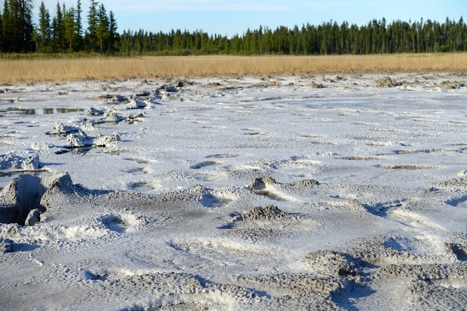
Salt Plains
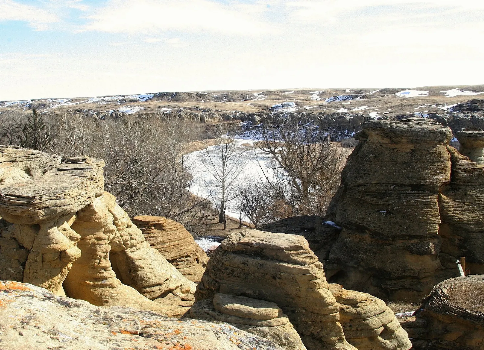
The Salt Plains Viewpoint and Day-use Area is reached from Highway 5 and gives you a broad look at the white, salt-encrusted flats.
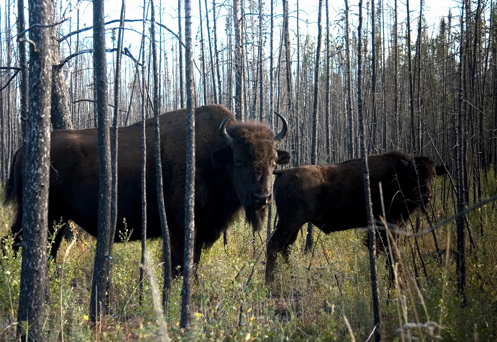
Wood bison along the highway
The bison roam freely, so you may see them beside the road, on meadows or crossing the pavement. Slow down, keep your distance and never leave your vehicle for a closer photo.
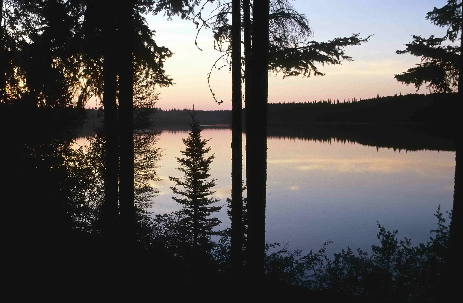
Pine Lake
Pine Lake is about 60 kilometres south of Fort Smith on Pine Lake Road and has a campground and day-use area. The lake is a base for canoe trips, swimming and picnics, and guided canoe tours run on summer Saturdays.
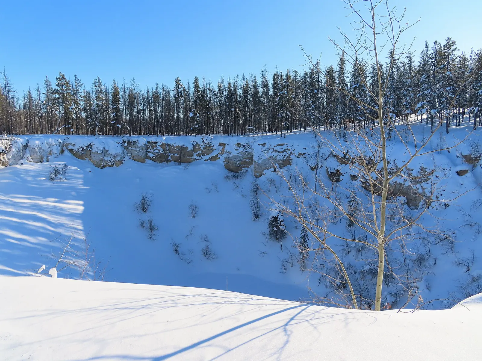
Sinkholes and Rainbow Lakes
The north-eastern part of the park is known for its karst sinkholes, round lakes formed when the ground dissolves and collapses.
Angus Fire Tower
Near the park entrance off Highway 5, the Angus Fire Tower and Day-use Area is a simple picnic stop that makes a gentle introduction before you go deeper.
Wildlife, waters and skies
Peace-Athabasca Delta
One of the largest inland freshwater deltas on Earth, it forms where the Peace, Athabasca and Birch rivers meet.
Whooping Crane Summer Range
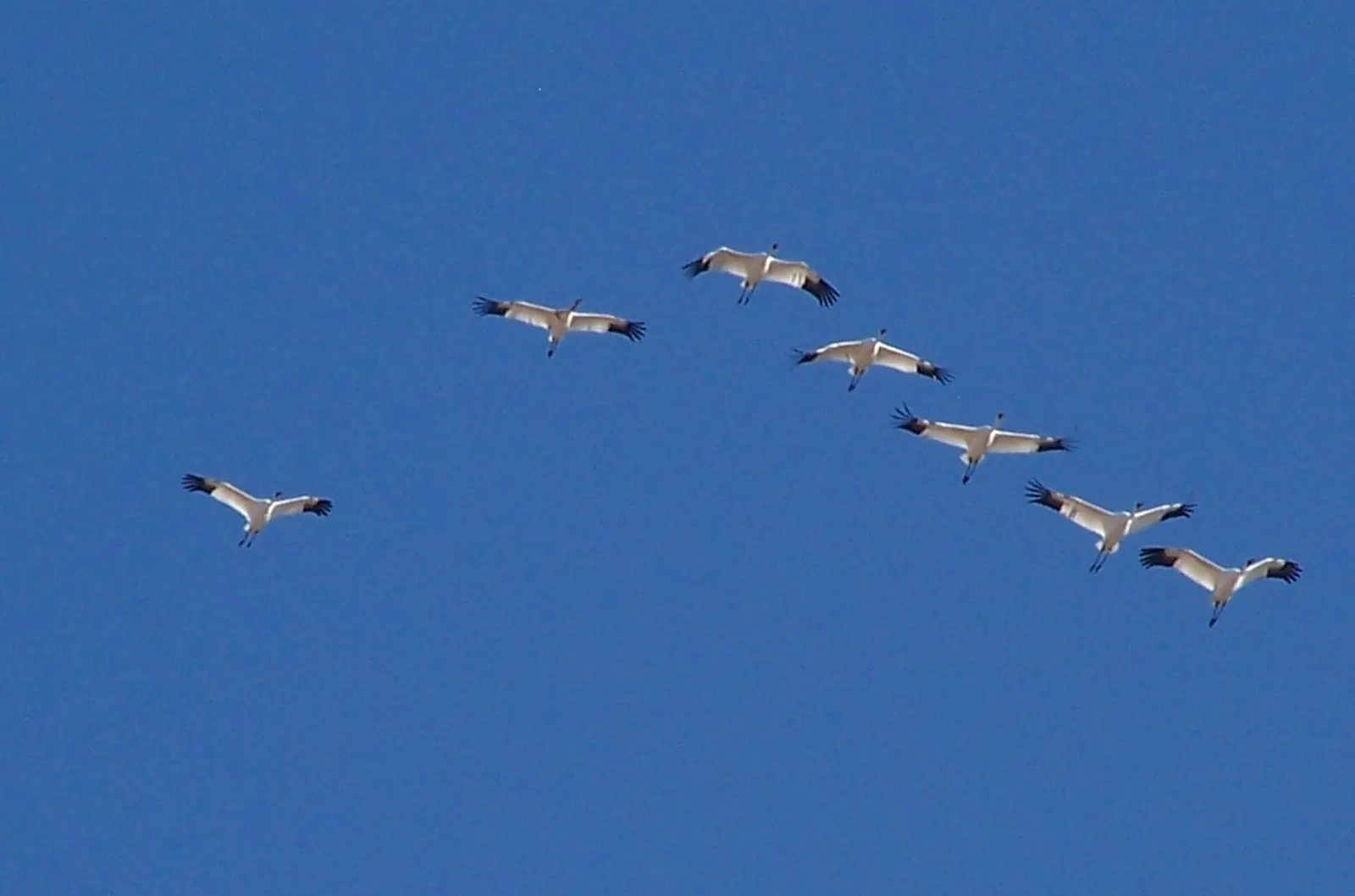
Wood Buffalo is the only natural nesting habitat of the endangered whooping crane, and the range is a Ramsar wetland. Ground access to nesting areas is prohibited, so viewing happens by air charter.
Dark sky viewing
In 2013 the park was designated the world's largest dark sky preserve. On clear winter nights the northern lights can fill the sky, and summer nights bring stars with few lights nearby.
Gateway communities
Fort Smith
Fort Smith, just across the Northwest Territories border, is the park's main base and has restaurants, a few guest houses, a hotel and a visitor centre.
Northern Life Museum
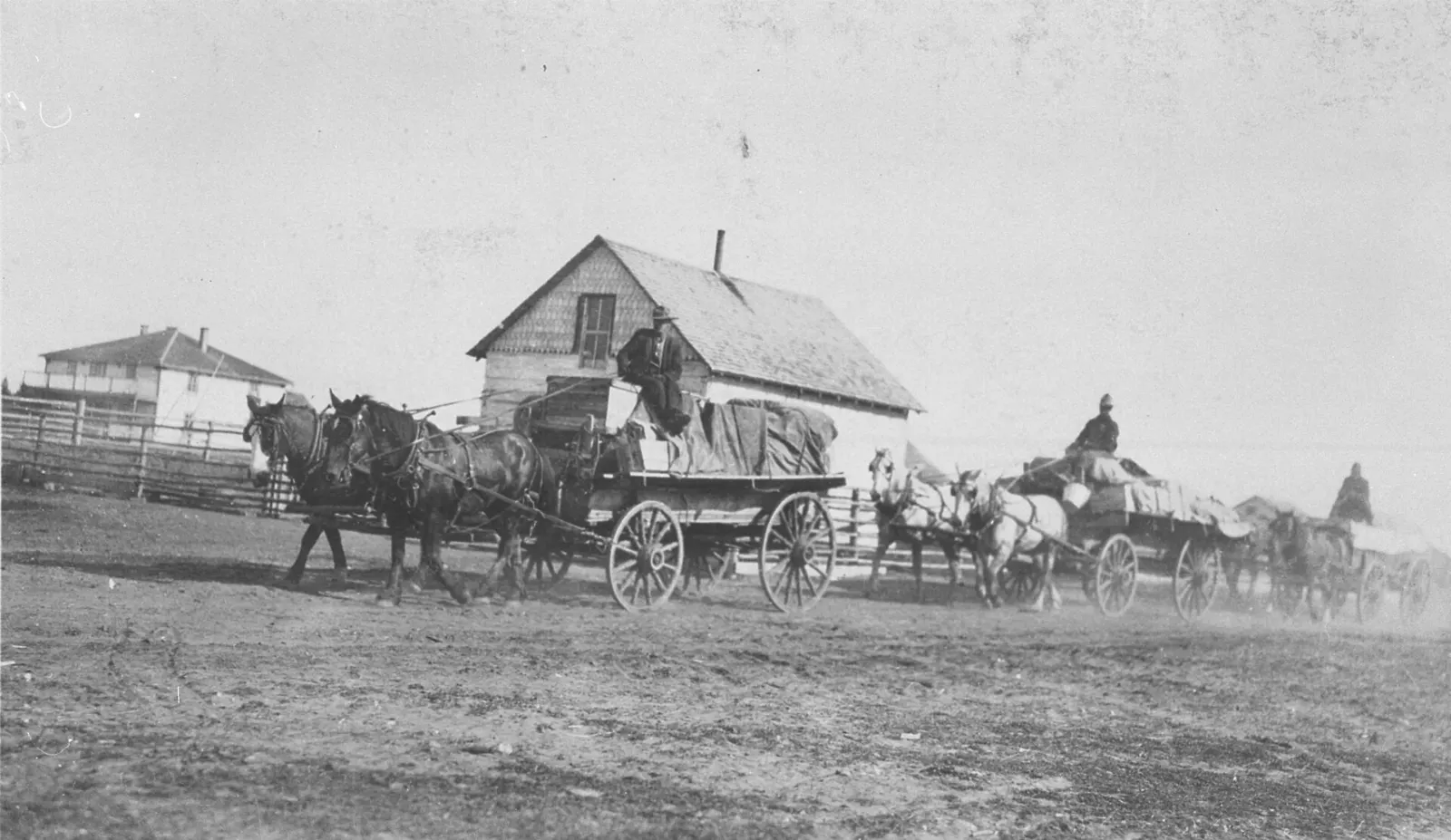
Fort Smith's museum is the best place to learn about fur-trade routes, Indigenous cultures and the portage around the Slave River rapids.

Fort Chipewyan
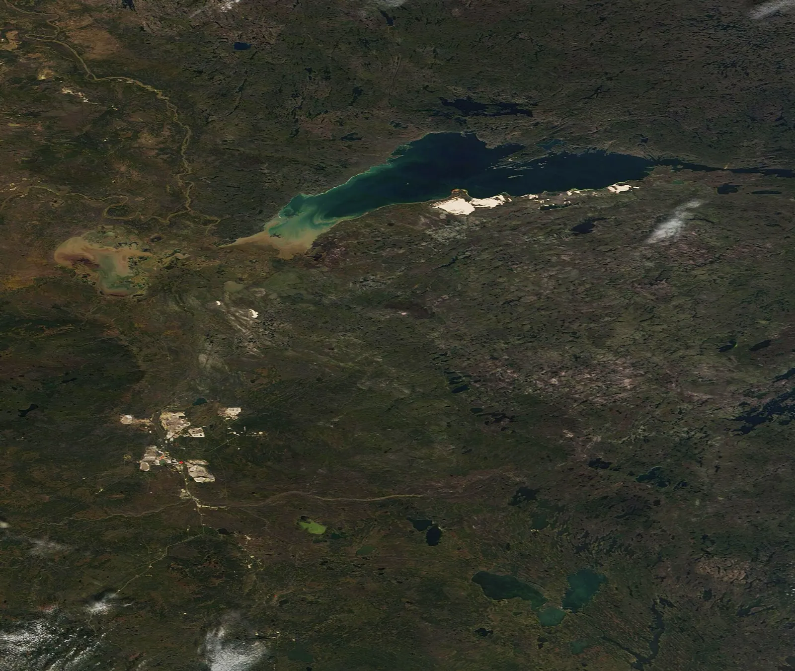
On the northwest shore of Lake Athabasca, Fort Chipewyan is one of the oldest European settlements in Alberta and a hamlet with a long fur-trade history.
 Planning a trip to Wood Buffalo National Park?Compare hotels, flights and vacation rentals for Wood Buffalo National Park on Expedia.Book now
Food and local flavors
Food here is simple and hearty, shaped by northern Indigenous and settler traditions. Look for bannock, a pan-fried bread served with jam or stew, and bison stew, a warming dish made with local-style red meat. Saskatoon berry pie is a prairie and northern favorite made with a native purple berry. Fort Smith has restaurants and a Northern Store for groceries.
Popular dishes to try in Wood Buffalo National Park


Where to stay
There are no towns inside Wood Buffalo National Park, so plan your base carefully. Fort Smith has a hotel, a few guest houses and the main visitor services, and suits first-time visitors and anyone arriving by plane or on the road from Hay River.
Pine Lake offers primitive campsites and cabins at a lakeside campground, ideal for campers and canoeists who want to wake up inside the park.
Where to stay in Wood Buffalo National Park


Best time to visit
Summer, especially July and August, is the easiest time. Temperatures average around 17 degrees Celsius in the day, tours run from mid-June to the end of August, and roads and trails are open.
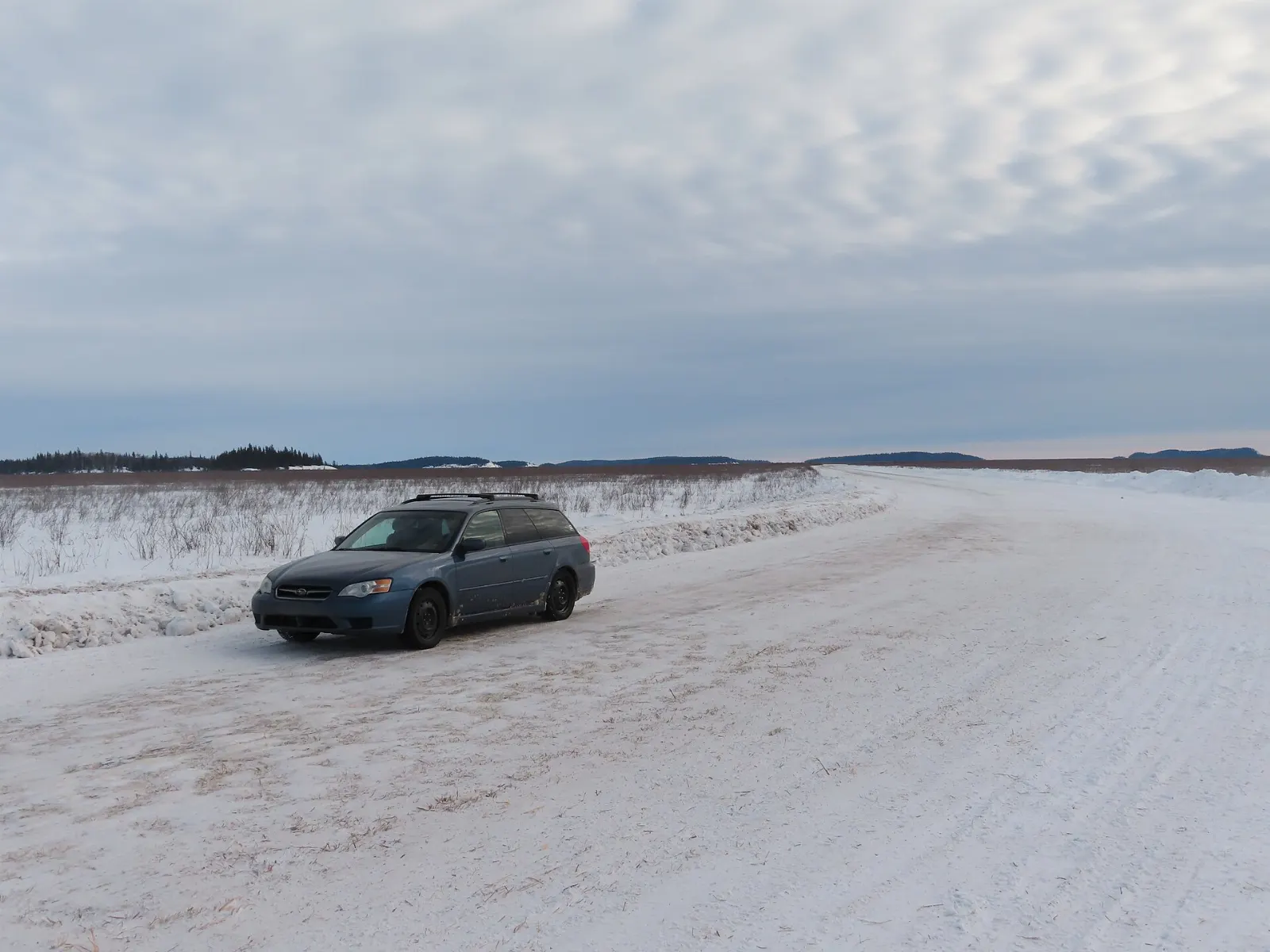
Winter is cold, with temperatures that can fall to minus 50, but it offers aurora viewing and a winter road to Fort Chipewyan.
Getting there and getting around
A paved road leads from Hay River through the park to Fort Smith, a journey of about three and a half hours. Northwestern Air flies from Edmonton to Fort Smith, and Fort Smith Airport also has links to Fort Chipewyan, Hay River, High Level and Yellowknife.
A car is the best way to get around the road network. Fuel is available in Fort Smith, so fill up often because distances are long.
A suggested itinerary
First day
Visit the Fort Smith visitor centre, then explore the Northern Life Museum and the river rapids.
Second day
Head to Pine Lake for a canoe trip or a walk to the sinkholes, and stay at the campground.
Third day
Fly or boat to Fort Chipewyan and the Peace-Athabasca Delta if the schedule allows, or spend the day on a guided tour.
Practical tips
- Pack strong insect repellent and a head net for summer visits.
- Bring all food and drinking water, and boil any stream water.
- Keep your fuel tank full whenever you pass a station.
- Stay in your vehicle near bison and keep a wide distance from all wildlife.
- Check the Parks Canada website for fees, permits and current road conditions.
- Book flights, tours and campsites well in advance for summer.