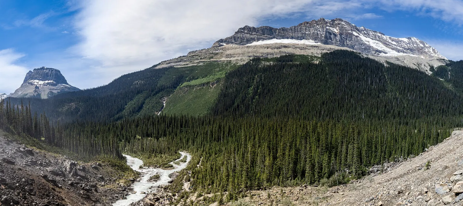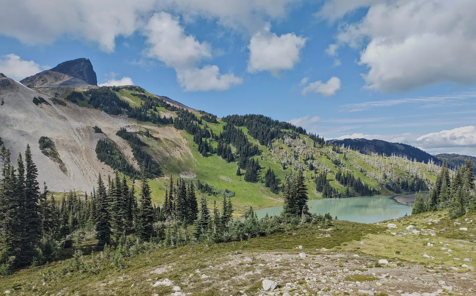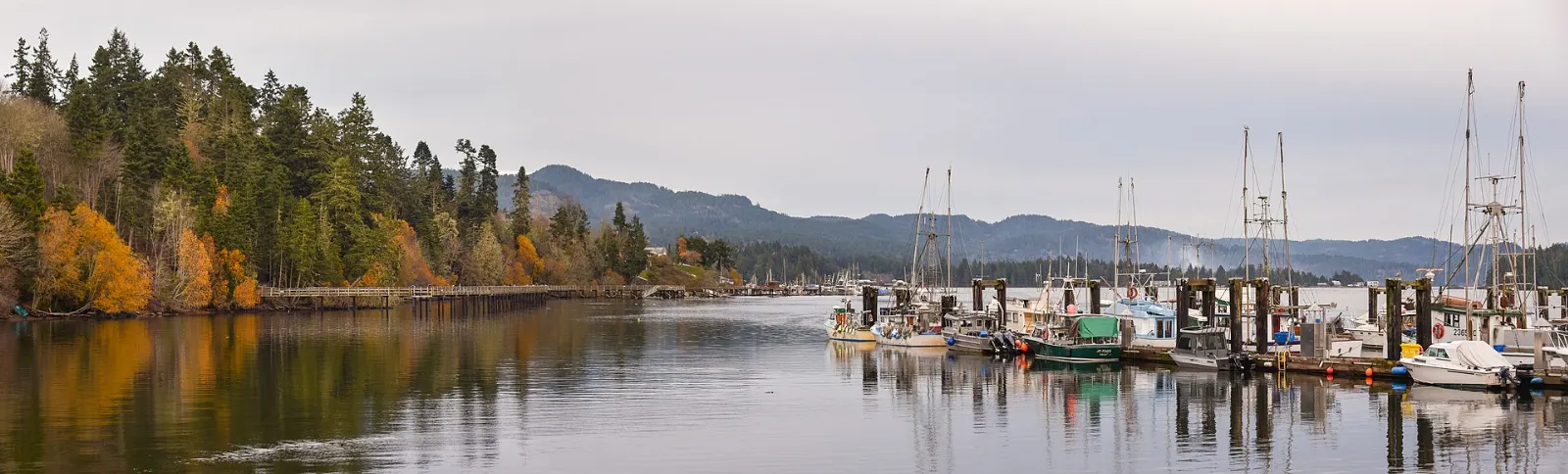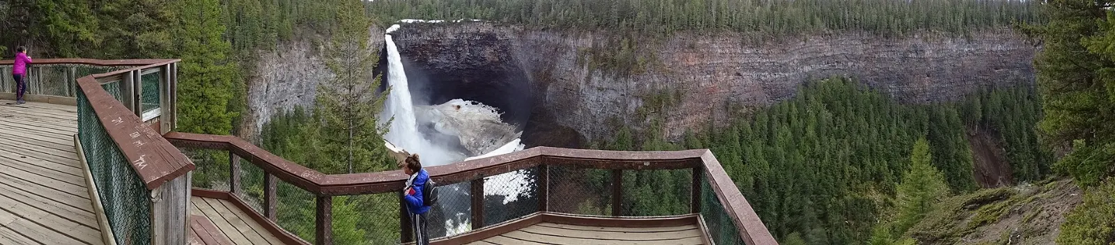
Kootenay National Park in the East Kootenays of British Columbia is centred on a 94 kilometre stretch of Highway 93, which links the hot springs village of Radium with the Continental Divide. Because the park reaches only about 8 kilometres on each side of the road, many of its best sights are a short walk from the car.
AT A GLANCE
Best time
June to September is the main season, and the park stays open all year.
How long
Allow one long day for a drive-through with stops, or two to three days with a hike.
Getting there
Reach it via Radium Hot Springs at the southwest or from Banff and Lake Louise to the northeast.
Why visit Kootenay National Park
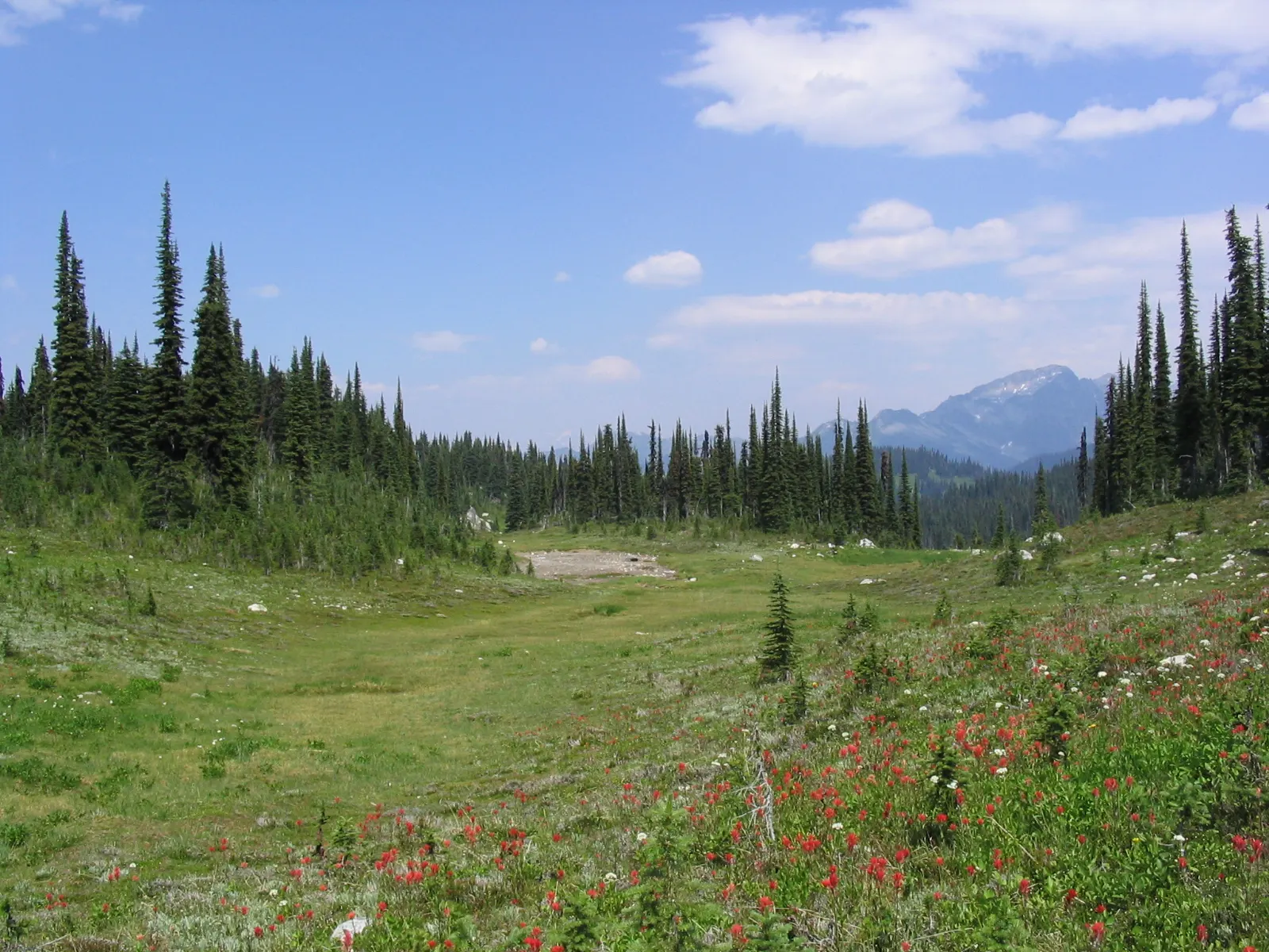
Kootenay is one of seven parks that form the Canadian Rocky Mountain Parks World Heritage Site, and it rewards slower travel. The park rises from about 918 metres at the southwestern entrance to 3,424 metres at Deltaform Mountain, so the scenery changes from dry canyon to alpine meadow within a couple of hours of driving.
It is generally milder than Banff, and many visitors find it quieter. A wildlife survey found 242 species of mammals, birds, amphibians and reptiles, including bighorn sheep, mountain goats, moose and both black and grizzly bears.
Radium and the south entrance
Radium Hot Springs
The hot springs lie just inside the park boundary, and the village of Radium takes its name from them. The complex has a hot pool and a cool pool, with the hot water ranging from about 35 to 47 degrees Celsius.
Sinclair Canyon
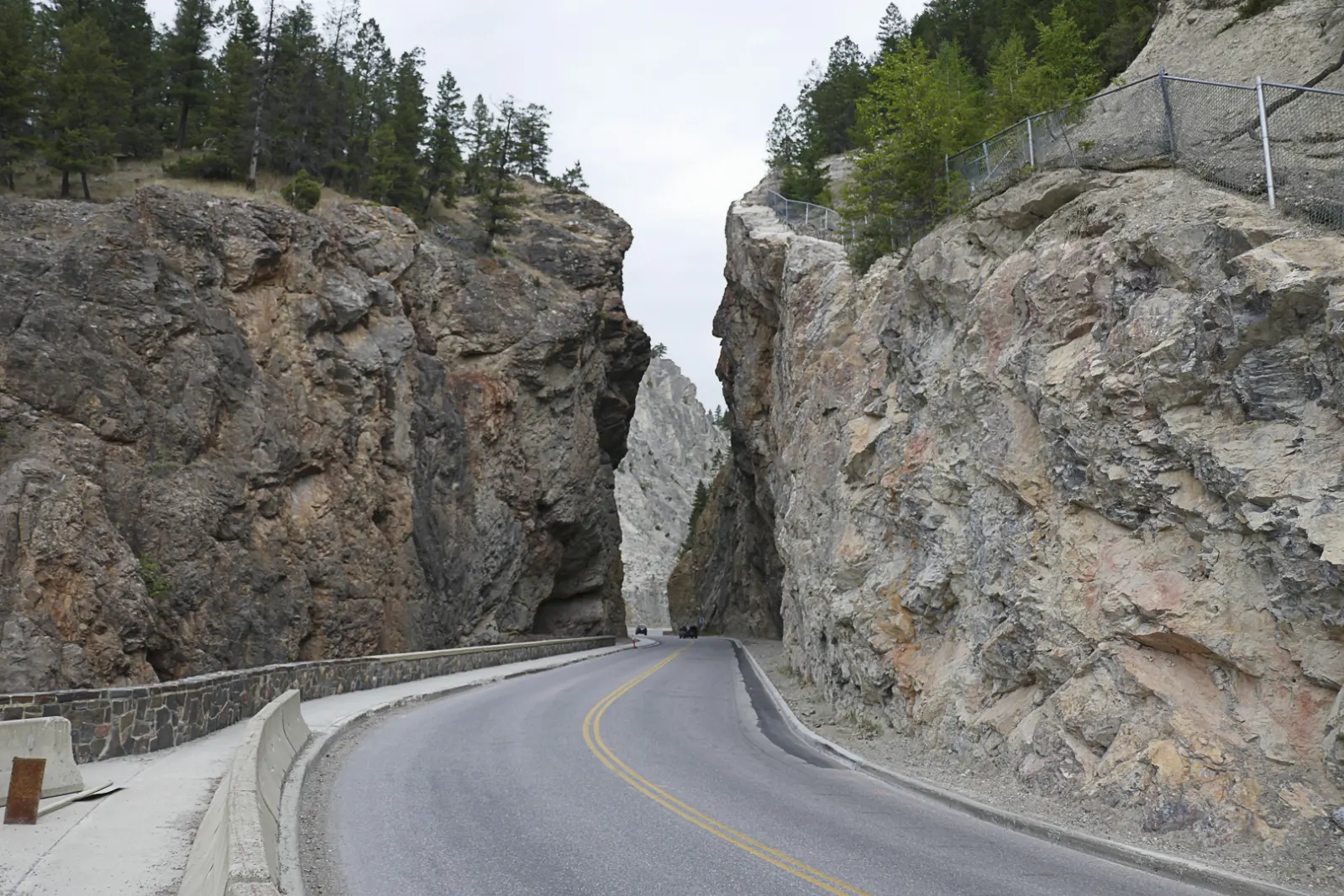
Highway 93 enters the park through Sinclair Canyon, where the road squeezes between steep rock walls beside Sinclair Creek and passes the pools. Pull over where signed to look up at the cliffs rather than stopping on the road.
Old Coach Trail
In Radium itself, the 4.7 kilometre Old Coach Trail runs from Main Street toward Invermere, with numbered posts and an information board.
The Sinclair Pass viewpoint
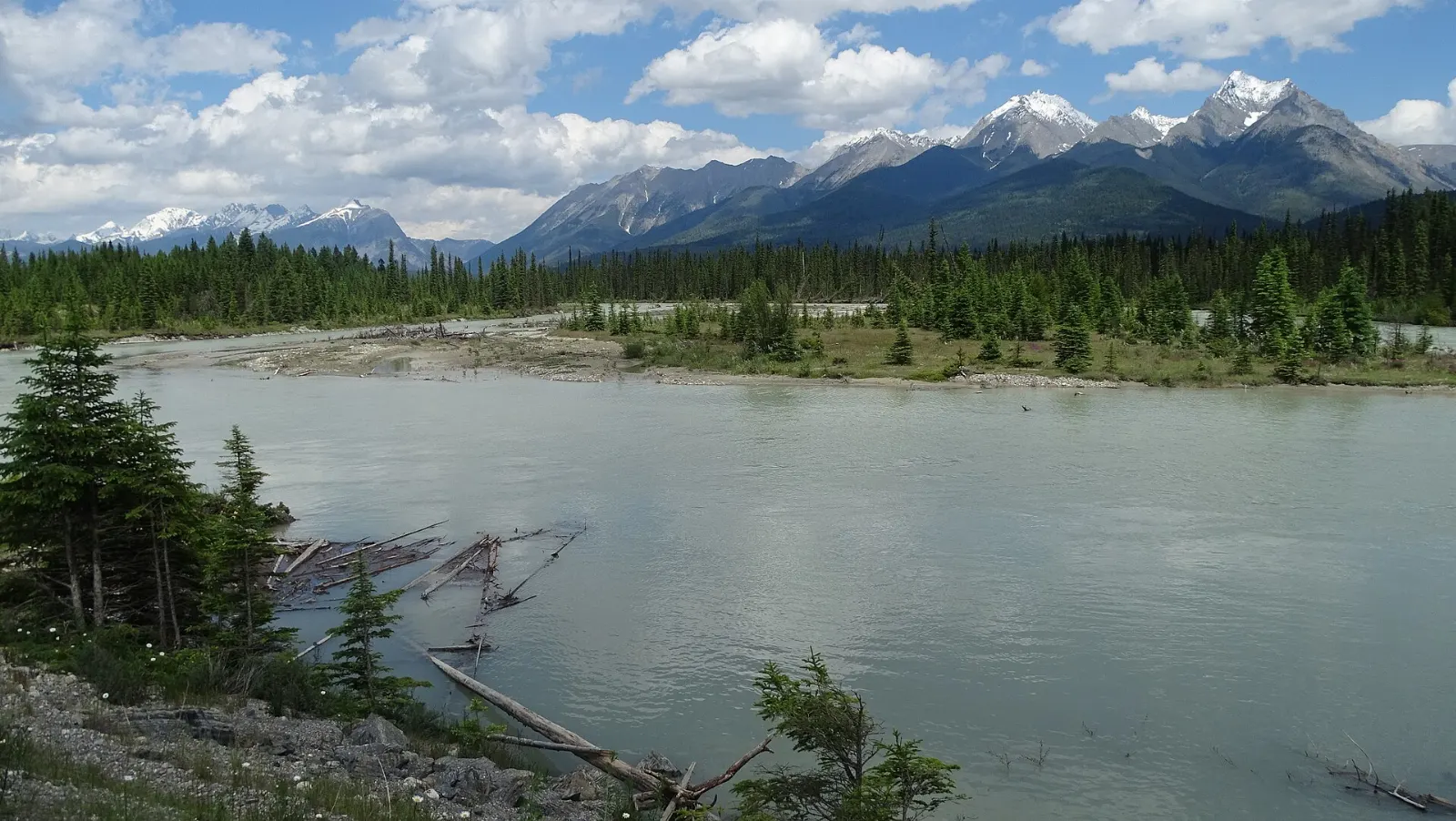
East of the tunnel, the highway climbs to Sinclair Pass, then reaches a viewpoint over the Kootenay River valley before turning north. It is a quick stop that helps you see how the road follows the river.
The Kootenay River valley and the road north
Olive Lake
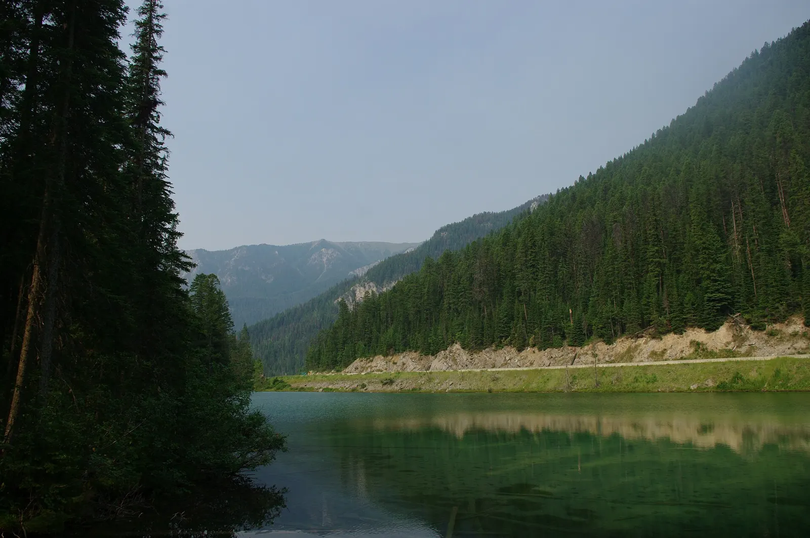
Olive Lake is one of several shallow, pond-like lakes in the Kootenay River basin and sits beside the highway. It is a good place for a picnic and for watching birds.
Numa Falls
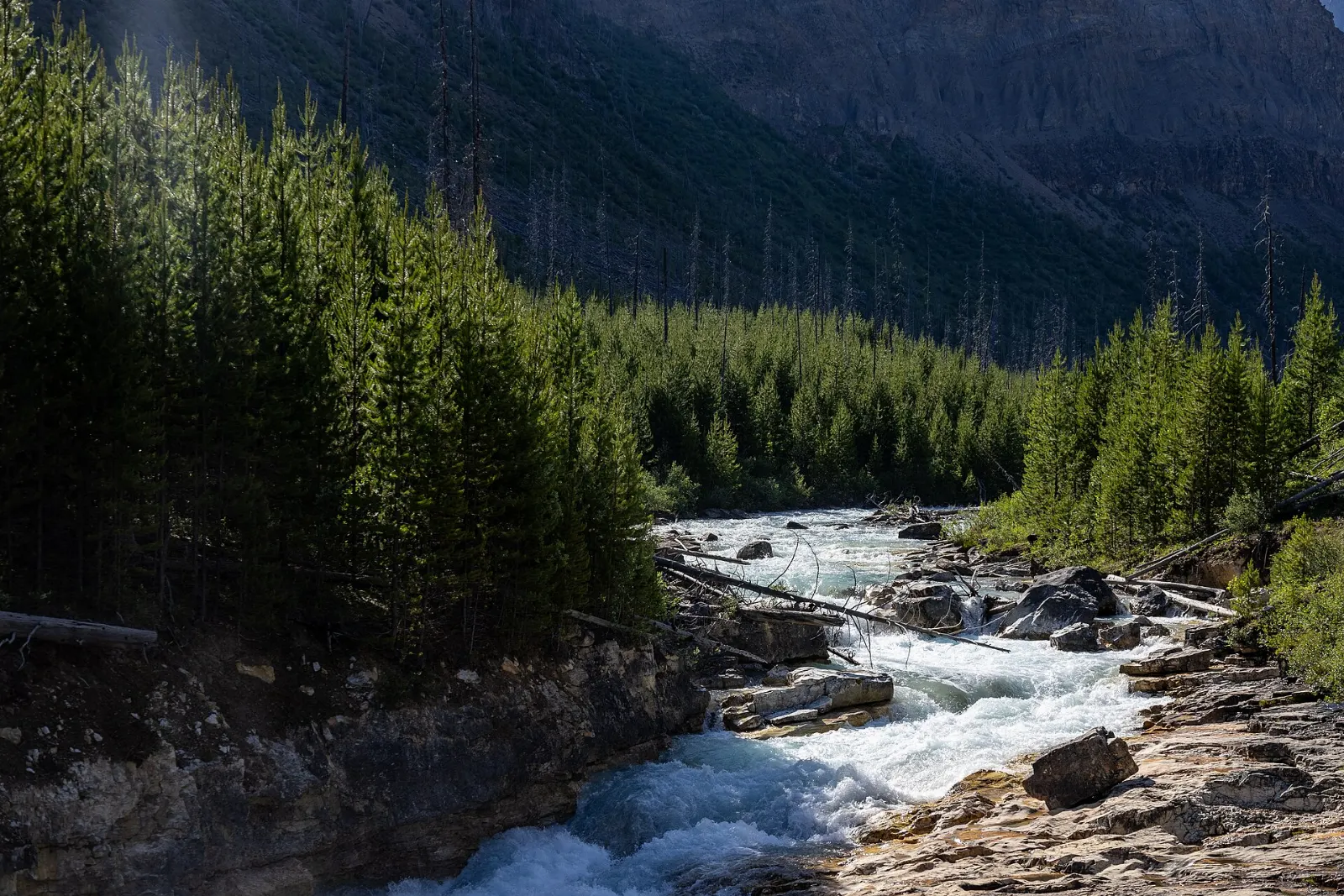
Numa Falls is not a large waterfall, but it sits directly beside Highway 93 on the Vermilion River, a short drive south of Marble Canyon. Park at the signed lot and allow about fifteen minutes.
Marble Canyon
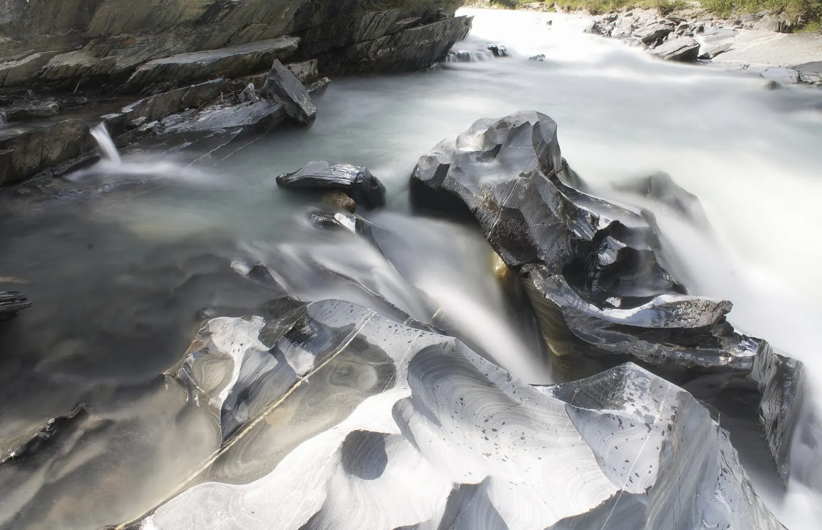
Marble Canyon is one of the headline stops on the northern stretch of the highway. Allow an hour or so, wear shoes with grip, and check Parks Canada for trail conditions before you set out.
The Paint Pots
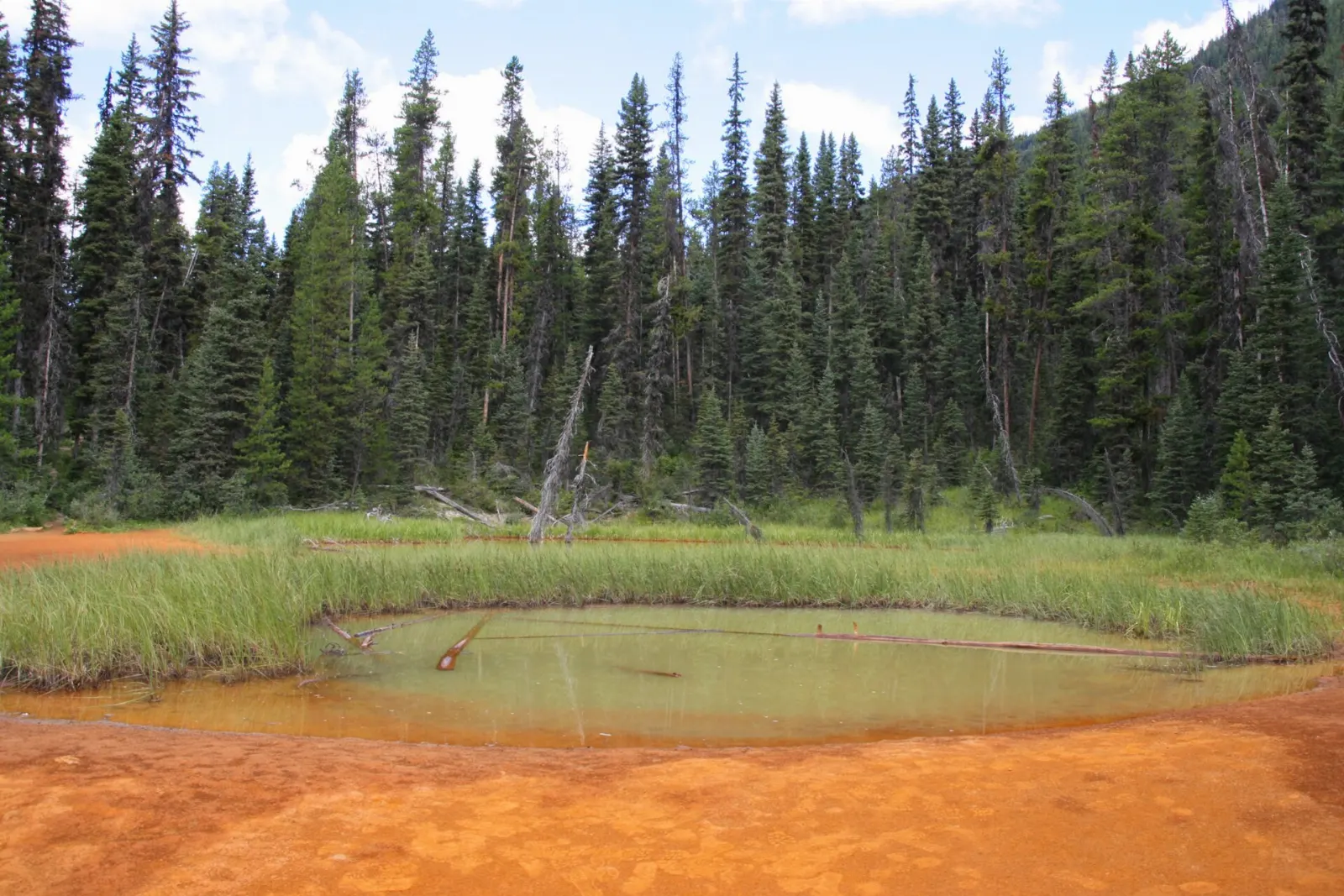
The Paint Pots are among the best-known attractions in the park and are signed from the highway.
Vermilion Pass
At Vermilion Pass the highway crosses the Continental Divide, which is also the boundary between British Columbia and Alberta.
Hikes and fossils
Floe Lake
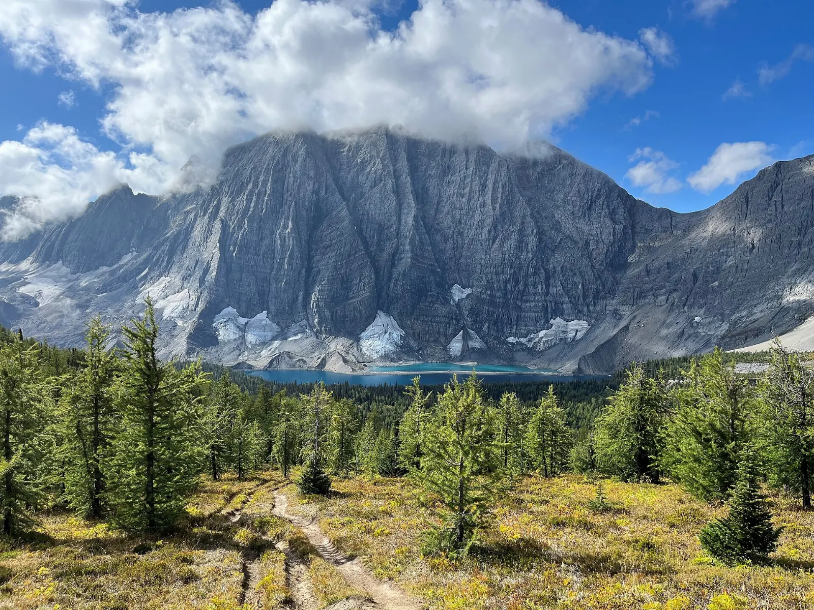
Floe Lake is reached by a 10.7 kilometre trail from a marked trailhead on Highway 93, and the route also joins the Rockwall Trail. There is a backcountry campground at the lake and a warden cabin staffed by Parks Canada.
Stanley Glacier
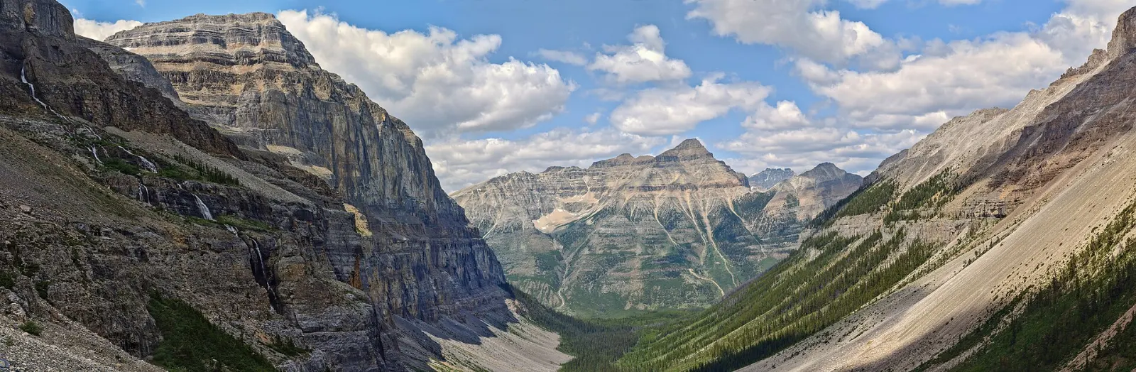
The Stanley Glacier area is known for fossils with Burgess Shale-style soft-tissue preservation, found first by a hiker who reported them to Parks Canada. Scientists have since described several new species.
 Planning a trip to Kootenay National Park?Compare hotels, flights and vacation rentals for Kootenay National Park on Expedia.Book now
Food and local flavors
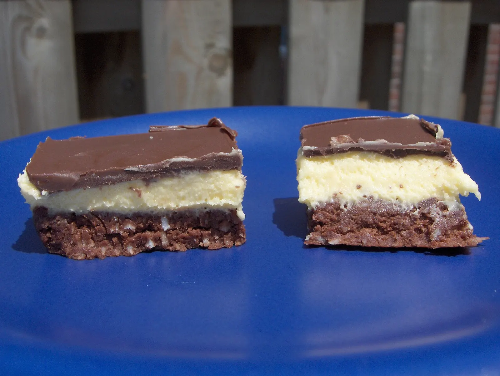
Radium is the park's food stop, and its restaurants are an unexpected mix of German, Hungarian and Bavarian cooking, alongside pubs and a local brewery. For an easy regional meal, order a bison burger, which is lean and a little sweet.
Main Street in Radium has a local coffee shop and several cafes. Inside the park there are few places to eat, so pack a picnic.
Popular dishes to try in Kootenay National Park


Where to stay
Radium Hot Springs sits just outside the west entrance and has the most hotels, motels and condos, plus restaurants, shops and a visitor centre.
Invermere is a few kilometres south and works well if you want a larger town with more services and vehicle rentals.
Banff and Lake Louise lie beyond the northeast end of the highway.
Camping inside the park is available at most campgrounds from early May to late September, with limited winter camping at Dolly Varden.
Where to stay in Kootenay National Park


Best time to visit
The park is open all year, but June to September is the main tourist season. That is when the campgrounds are open and the trails are most reliable.
Spring and autumn are quieter. Check conditions before any high-country hike, and remember that snow can linger on trails well into early summer.
Getting there and getting around
Highway 93 South, also called the Banff-Windermere Highway, is the only major route and runs 94 kilometres through the park. It can be reached from the Trans-Canada Highway near Banff, or from Highway 95 at Radium Hot Springs.
Calgary and Vancouver have the nearest major airports, and Cranbrook is about 145 kilometres south of Radium. There are airport shuttles from Calgary to Banff and Lake Louise.
You need a park permit if you stop anywhere in the park, even for lunch or a view, but not if you drive straight through.
A suggested itinerary
First day
Soak at Radium Hot Springs, then drive through Sinclair Canyon, stopping at the viewpoint over the Kootenay River valley, Olive Lake and Numa Falls.
Second day
Continue north to Marble Canyon and the Paint Pots, then cross Vermilion Pass for lunch near Castle Junction.
Third day
Hike toward Floe Lake or spend the day at the Stanley Glacier area, then return to Radium for dinner.
Practical tips
- Buy a park pass before you stop, since everyone who stops needs one.
- Carry bear spray and make noise on trails, because bears live throughout the park.
- Watch for wildlife on the road, especially at dusk, and give animals a wide berth.
- Top up your fuel tank in Radium before you set off.
- Pack a picnic and extra layers, as services are limited and weather changes quickly.