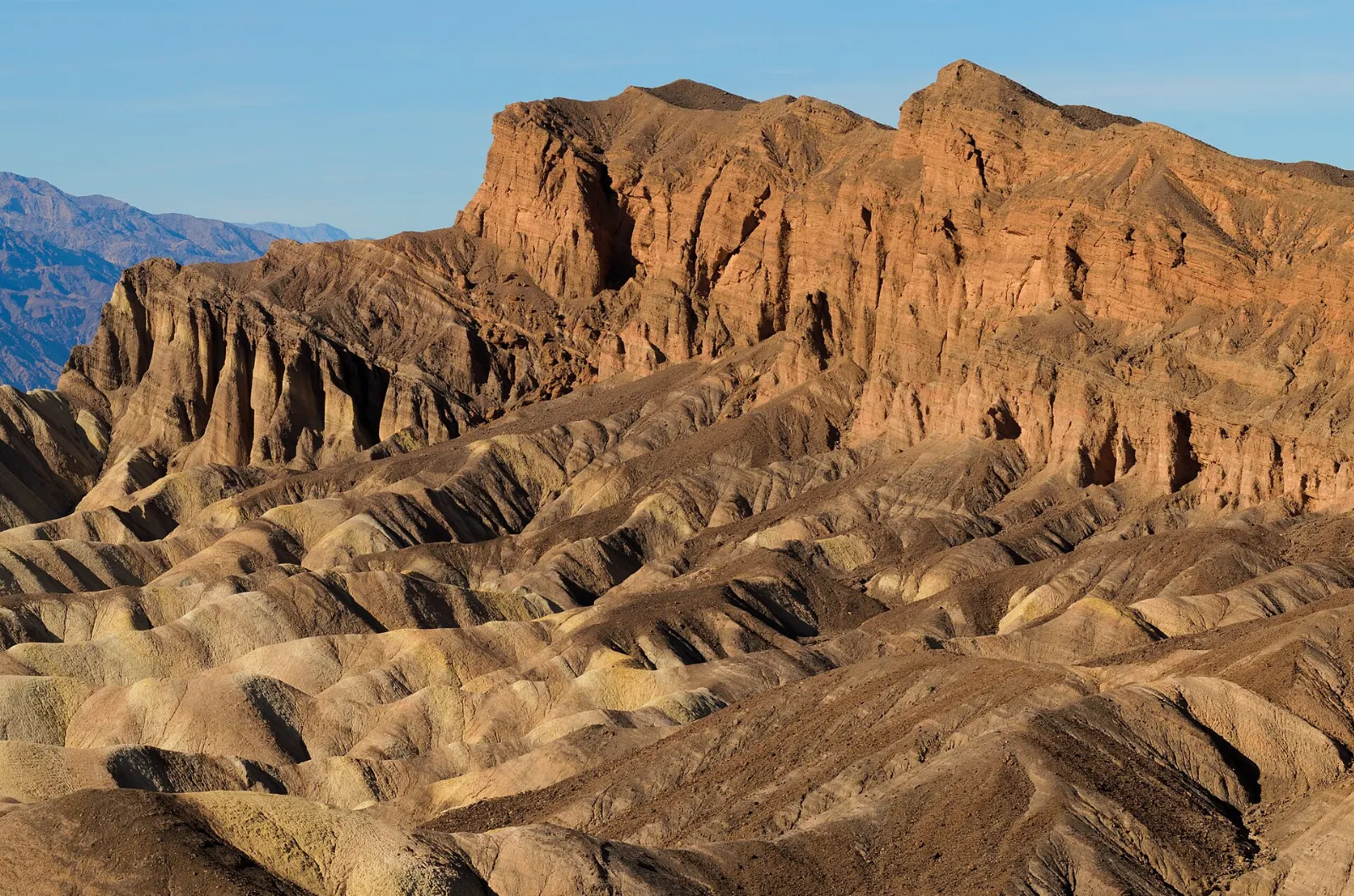
Death Valley is a place of superlatives: the lowest point in North America, the hottest air temperature ever reliably recorded, and the largest national park in the contiguous United States.
AT A GLANCE
Best time
November through March for mild days; spring for wildflowers after wet winters.
How long
Two days for the Furnace Creek area; three to four to add the dunes and the north.
Getting there
Fly into Las Vegas and drive about two hours; no public transport serves the park.
Why visit Death Valley National Park
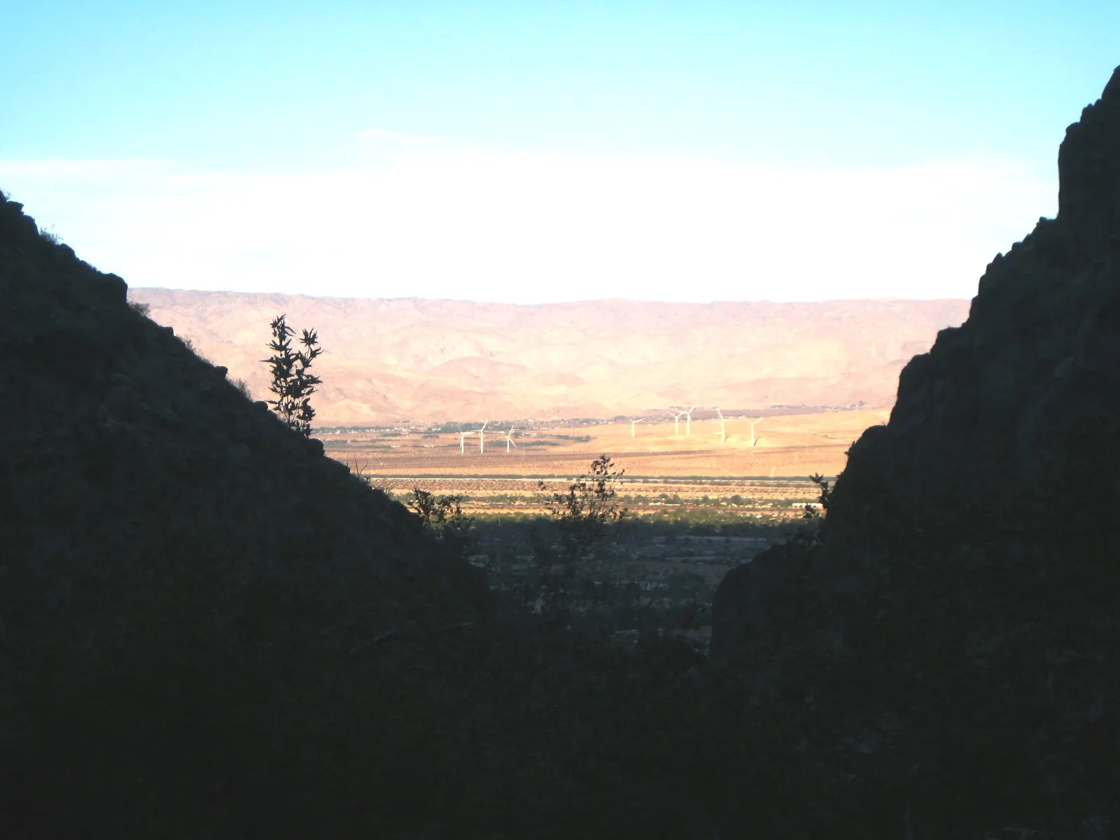
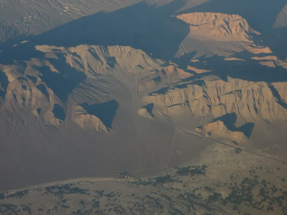
The park covers roughly 3.4 million acres of eastern California and a sliver of Nevada. The valley itself is a long trough between the Panamint Range to the west and the Amargosa Range to the east, and the contrast is staggering: Telescope Peak rises to 11,049 feet only about fifteen miles from Badwater Basin, 282 feet below sea level.
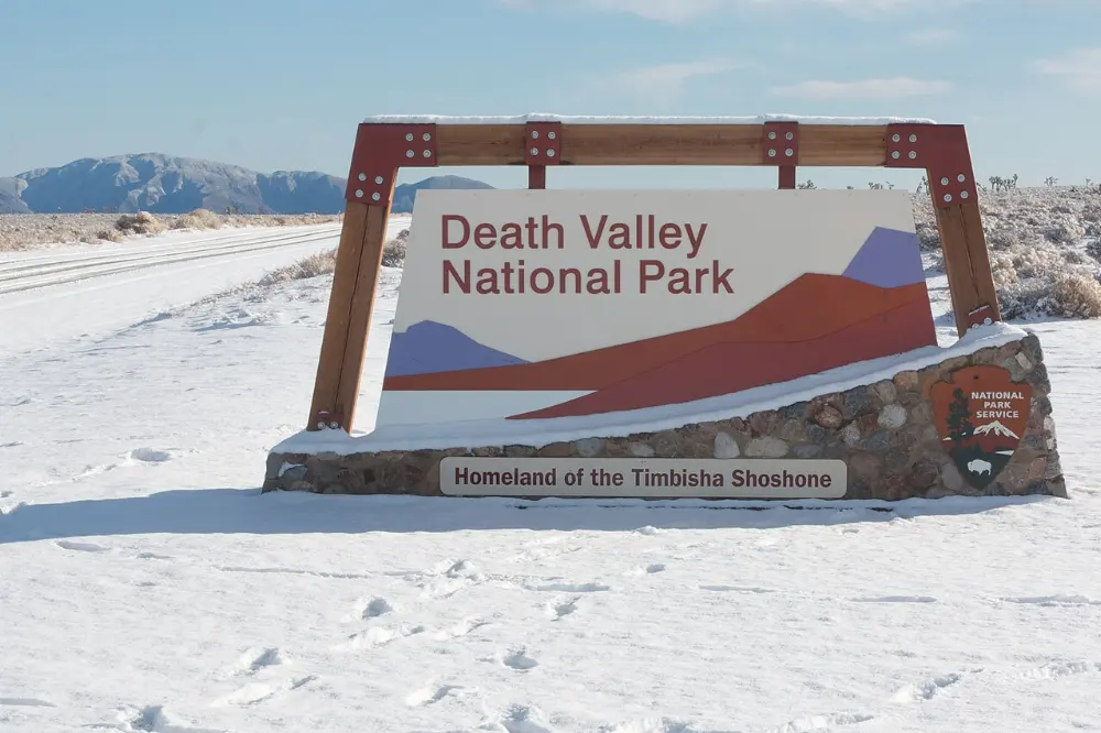
People have lived here for thousands of years. The Timbisha Shoshone moved between winter camps near valley springs and summer harvests of pine nuts in the mountains, and they still have a village at Furnace Creek.
Badwater Road and the southern valley
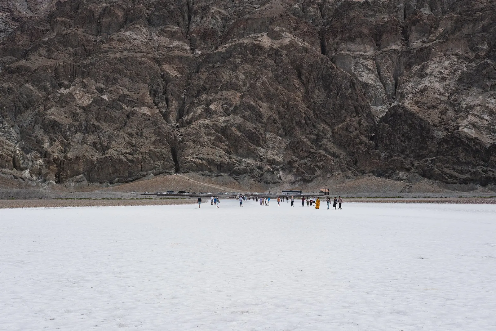
Badwater Basin
A boardwalk leads from the parking area onto the salt flat beside a small spring-fed pool whose water is too salty to drink, which gave the spot its name.
Allow an hour. Visit early in the morning or near sunset; at midday the glare and heat are punishing, and on hot days you should not walk far from the car.
Natural Bridge and Devils Golf Course
North of Badwater, a short gravel road leads to the Natural Bridge trailhead, where a walk of about half a mile up a canyon brings you beneath a massive rock span.
Artists Drive and Artists Palette
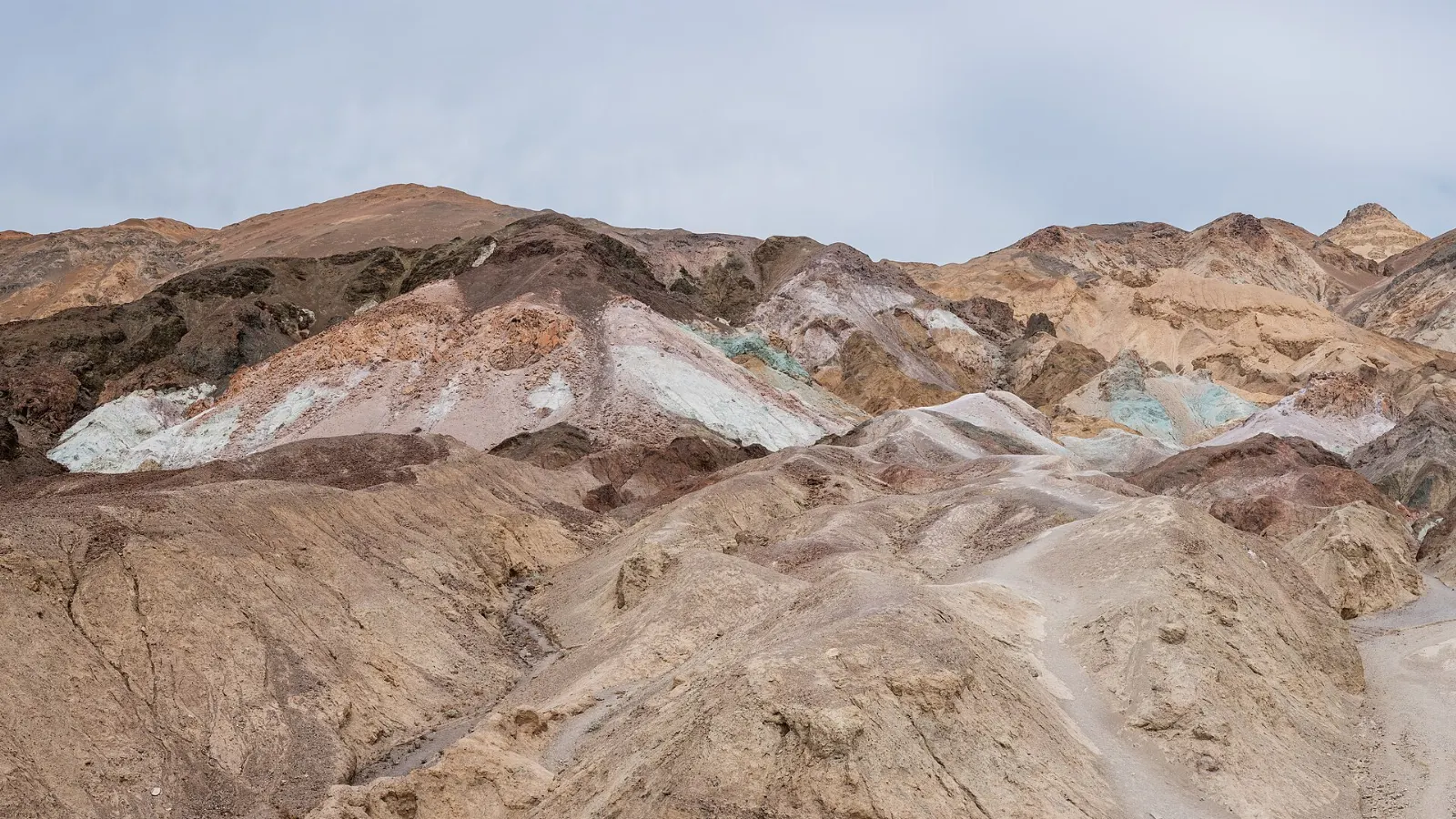
This one-way scenic loop of about nine miles winds through the foothills of the Black Mountains. Halfway along, Artists Palette reveals hillsides streaked in pink, green, purple and gold, colors produced by oxidized metals in the rock.
Furnace Creek, Zabriskie Point and the eastern viewpoints
Golden Canyon and Gower Gulch
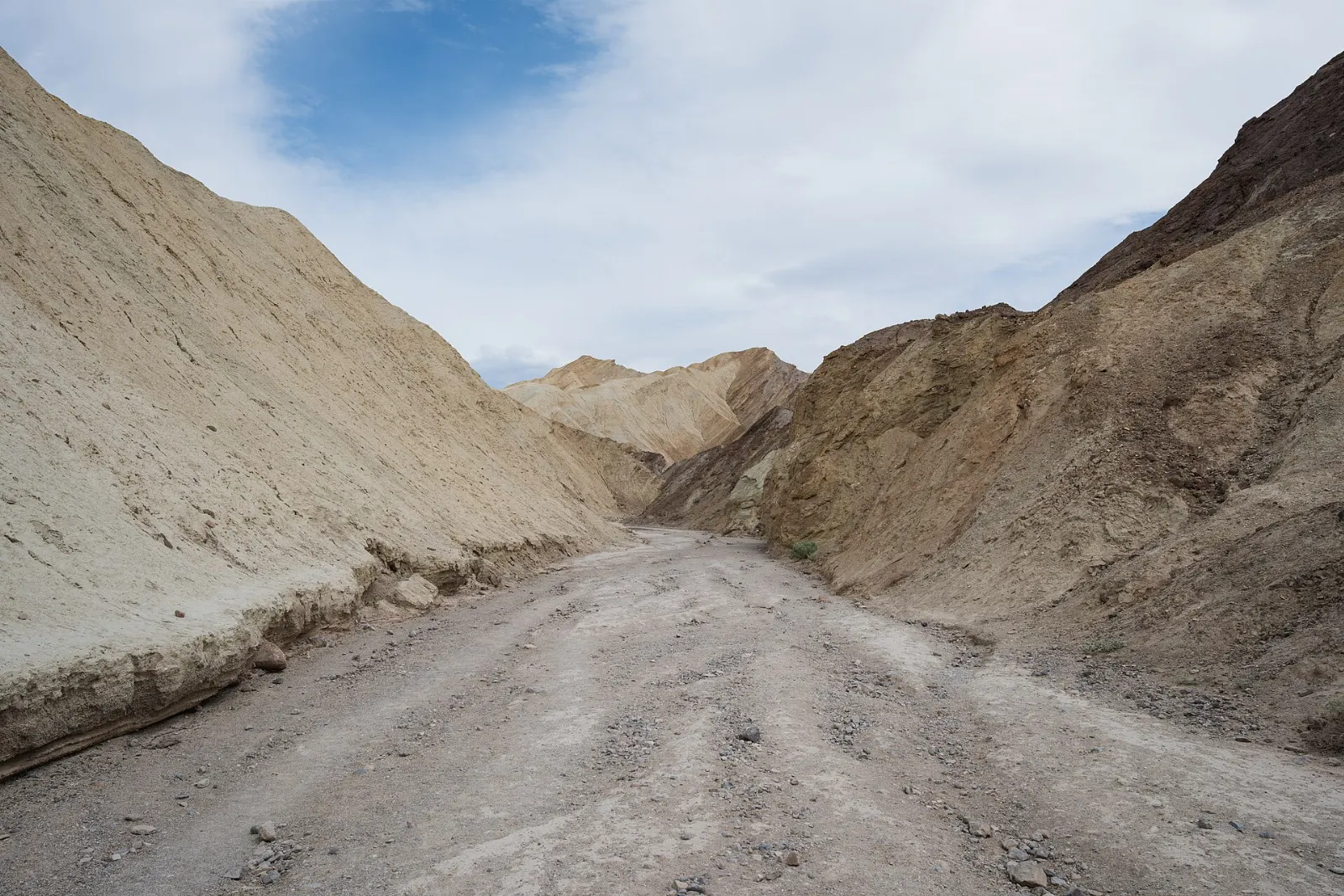
Just south of Furnace Creek, Golden Canyon leads into the badlands between walls of mudstone that glow at sunrise.
Zabriskie Point
This is the park's most famous viewpoint. A short paved path climbs to an overlook above a sea of folded golden badlands, formed from the sediments of a lake that dried up about five million years ago, with Manly Beacon rising in the foreground and the Panamint Range beyond.
Dante's View
About a mile above the valley floor on the crest of the Black Mountains, Dante's View looks straight down on Badwater Basin, with Telescope Peak directly across the valley. The air is usually much cooler than below, making this a good escape on a warm afternoon.
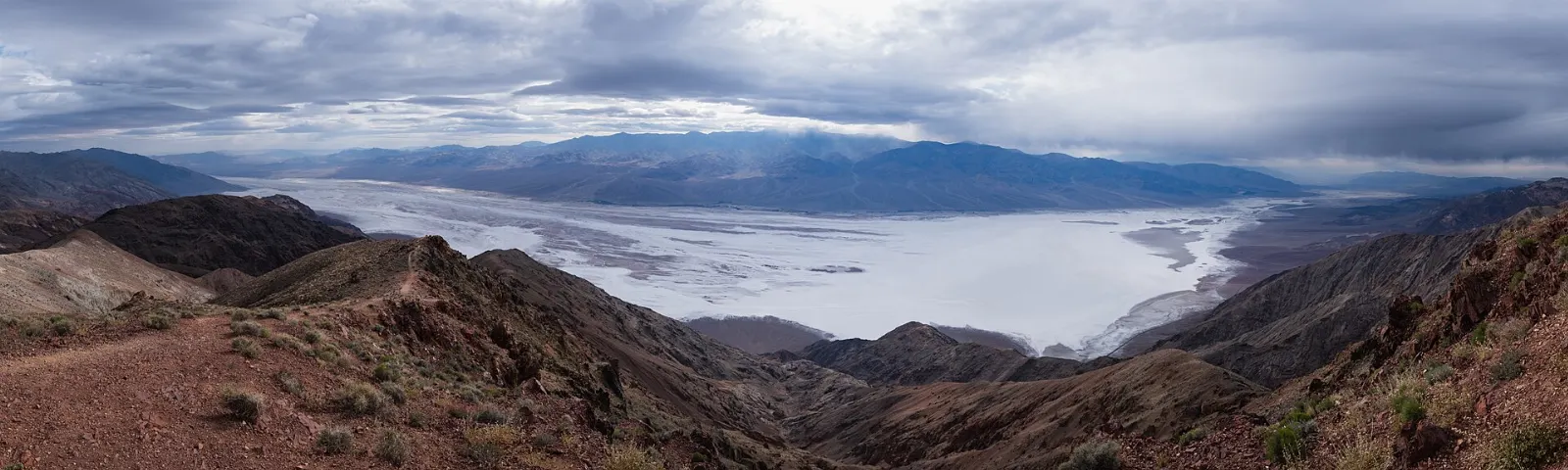
Furnace Creek Visitor Center and Harmony Borax Works
Start your visit at the Furnace Creek Visitor Center for maps, exhibits, a park film and current road conditions from rangers.
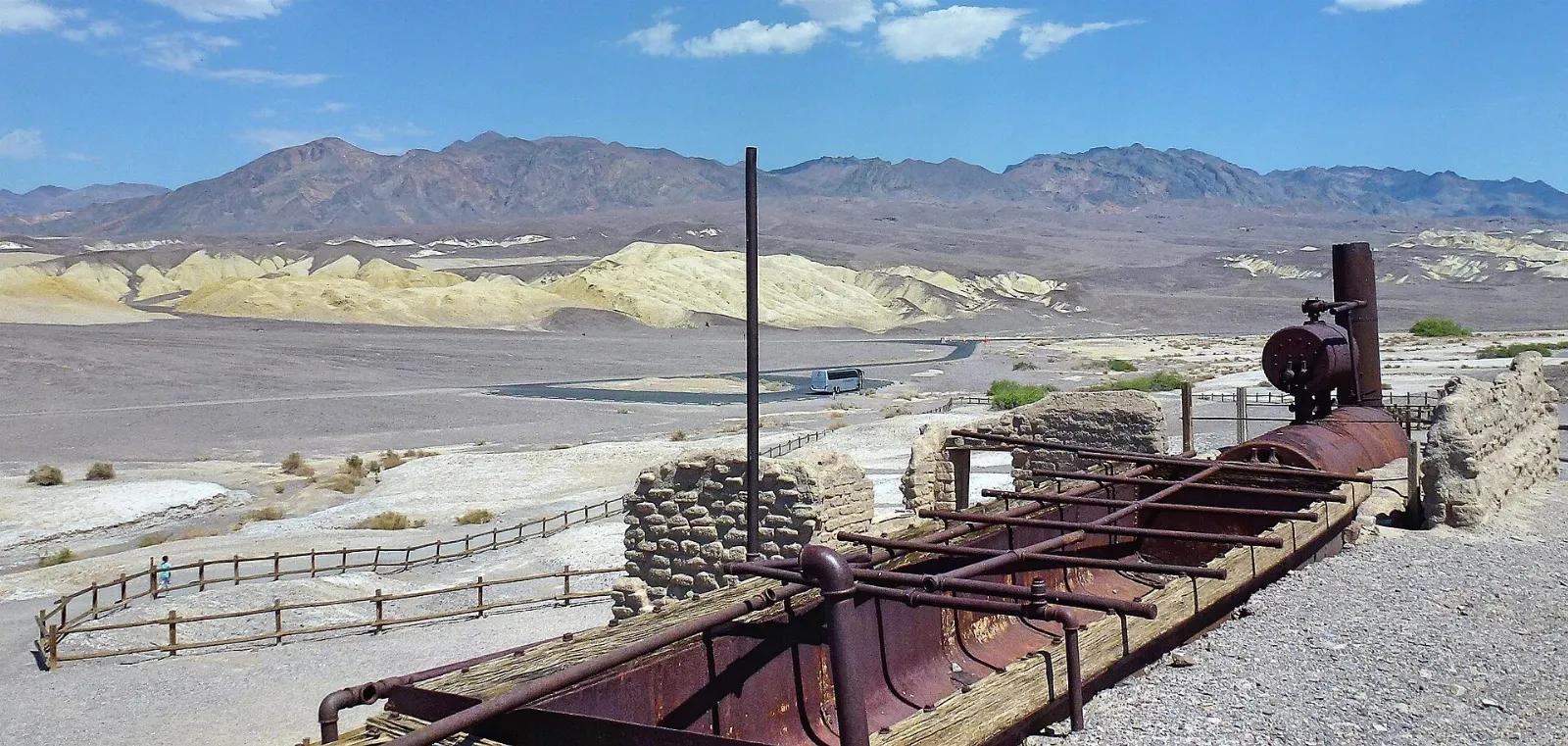
Stovepipe Wells, the dunes and the far north
Mesquite Flat Sand Dunes
Near Stovepipe Wells, these dunes rise from a flat basin ringed by mountains. There is no trail, so simply walk out from the parking area toward the tallest crest, about a mile away.
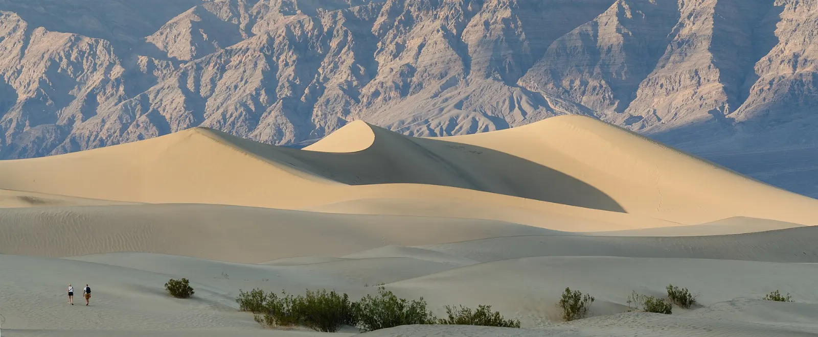
Mosaic Canyon
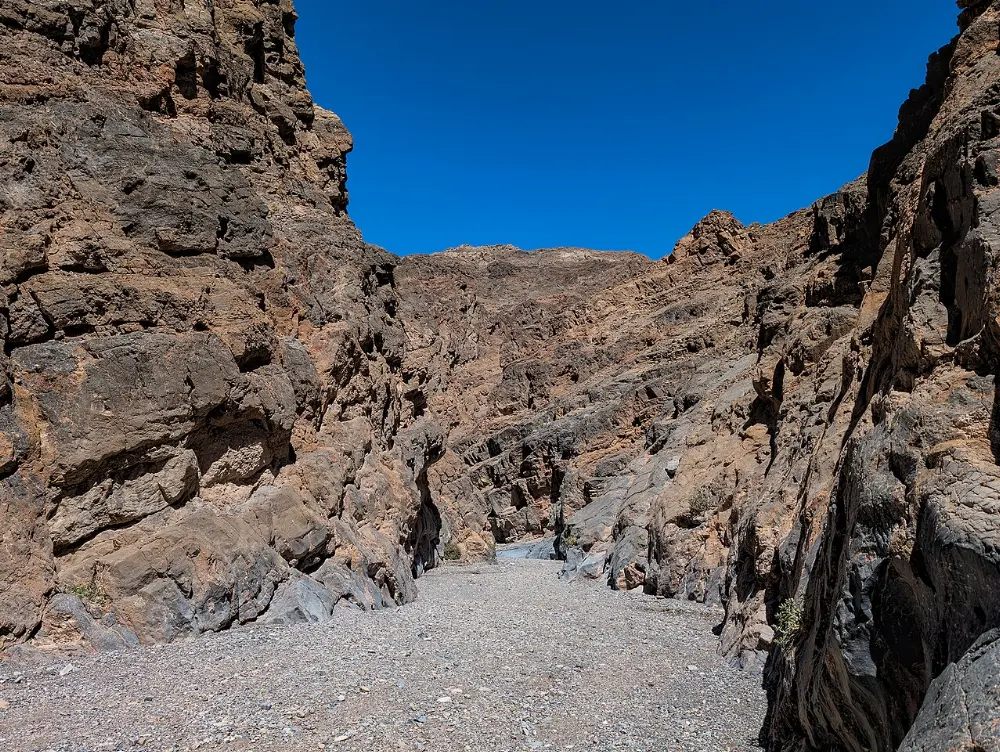
A gravel road from Stovepipe Wells leads to Mosaic Canyon, where the first half mile squeezes between walls of white and gray marble polished smooth by floods. The canyon takes its name from breccia, a natural mosaic of rock fragments set in stone.
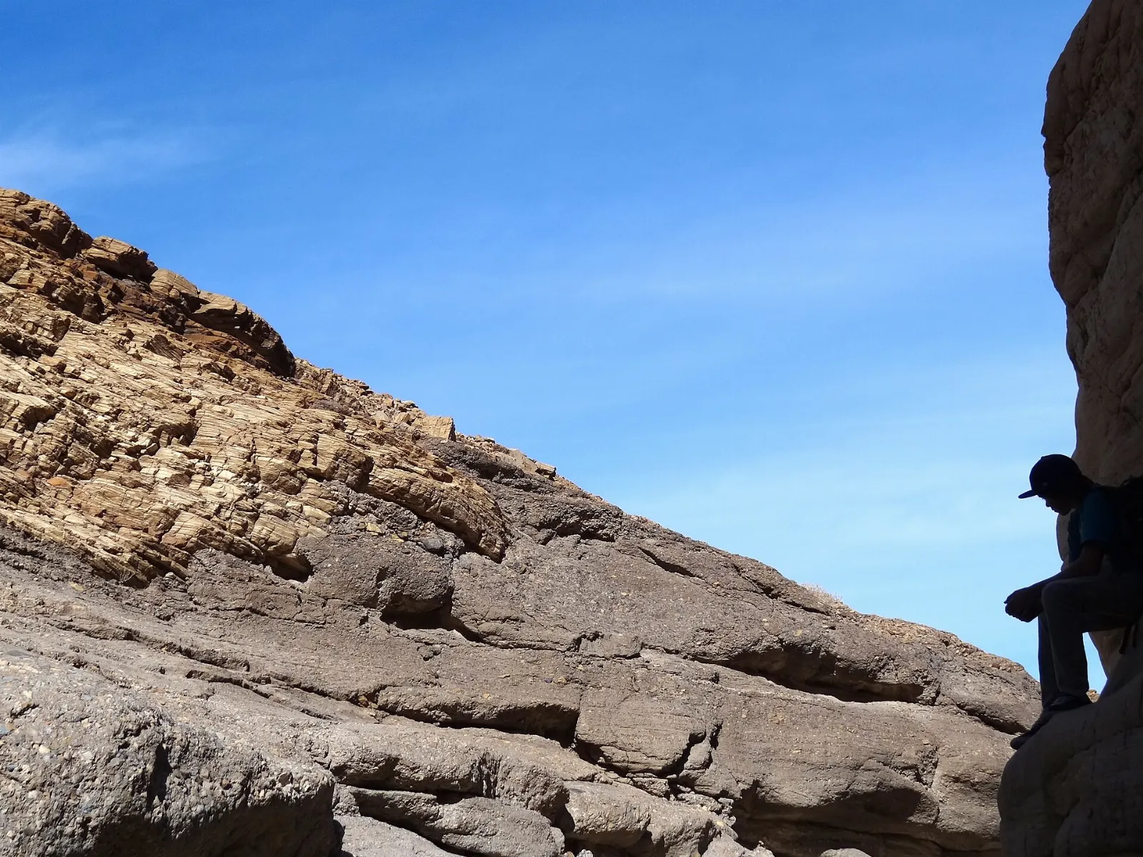
Ubehebe Crater
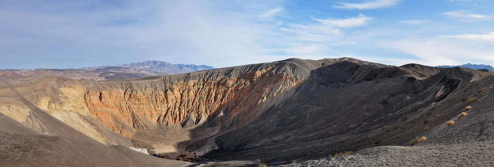
In the remote north of the park, Ubehebe Crater is a volcanic crater about half a mile wide, blasted out when rising magma met groundwater.
Racetrack Playa
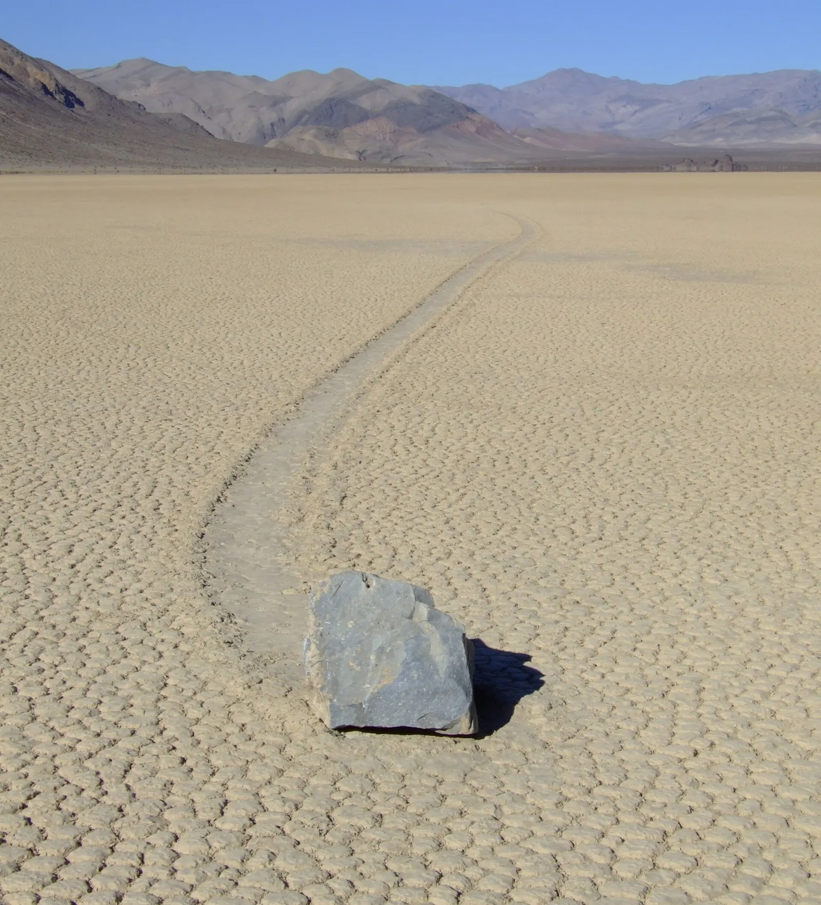
Beyond Ubehebe, a long and very rough dirt road leads to the Racetrack, a dry lakebed where rocks known as sailing stones leave long trails in the mud. Researchers have shown that thin sheets of ice and light winds push the stones across the surface on rare winter days.
Wildrose Charcoal Kilns and Scotty's Castle
On the west side, the beehive-shaped Wildrose Charcoal Kilns were built in 1877 to make fuel for silver smelters, and they still smell faintly of smoke inside.
 Planning a trip to Death Valley National Park?Compare hotels, flights and vacation rentals for Death Valley National Park on Expedia.Book now
Food and local flavors
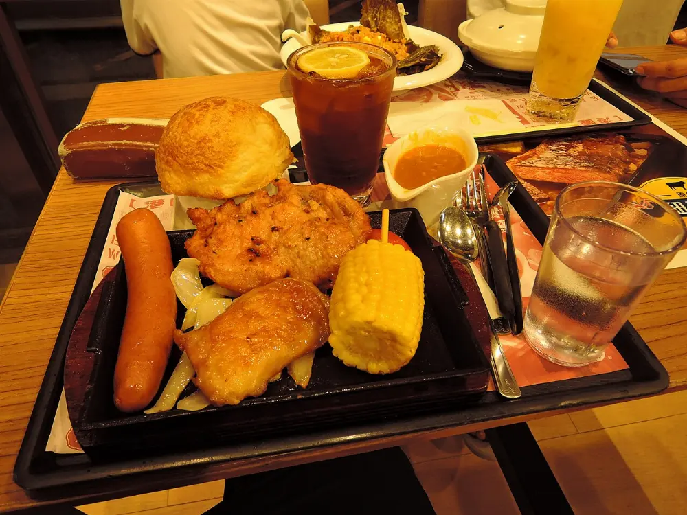
Dining is limited and distances are long, so plan your meals as carefully as your drives.
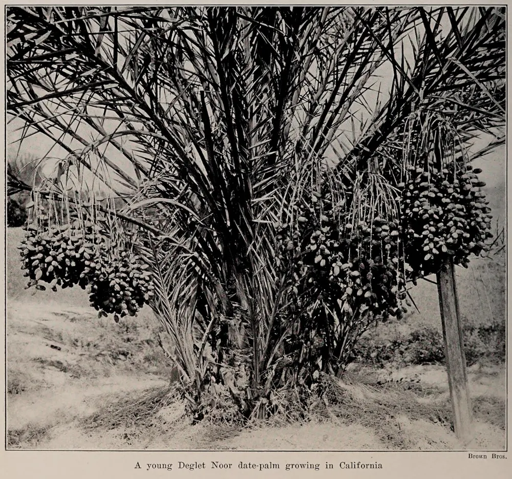
A grove of date palms grows at Furnace Creek, a reminder of early efforts to farm the oasis. Outside the park, Pahrump has full supermarkets and plenty of restaurants, and small communities such as Shoshone and Beatty offer roadside diners.
Popular dishes to try in Death Valley National Park


Where to stay
Furnace Creek is the most central base, close to Badwater, Zabriskie Point and Golden Canyon.
Stovepipe Wells sits beside the sand dunes and Mosaic Canyon and suits photographers who want sunrise on the dunes.
Panamint Springs on the western edge is a small, rustic resort convenient for travelers arriving from Lone Pine and the Sierra Nevada.
Beatty and Pahrump in Nevada, and Lone Pine in California, offer more lodging choices and lower rates, at the cost of an hour or more of driving each way.
Where to stay in Death Valley National Park
Best time to visit
The season runs from about November to March, when daytime highs on the valley floor are usually in the 60s and 70s Fahrenheit and nights are cool. This is the time for long hikes and canyon walks.
From May to September, the valley is dangerously hot, with highs often above 110 degrees and sometimes above 120.
Getting there and getting around
The closest major airport is Harry Reid International in Las Vegas, about 120 miles and two hours from Furnace Creek.
There is no public transportation, so a car is essential. Main paved roads are suitable for any vehicle, but many highlights sit at the end of gravel or rough dirt roads; ask rangers about current conditions.
A suggested itinerary
First day
Watch sunrise at Zabriskie Point, then walk Golden Canyon while the air is still cool. Stop at the visitor center and Harmony Borax Works, rest through midday, then drive Badwater Road in the afternoon: Natural Bridge, Badwater Basin and Devils Golf Course.
Second day
Drive up to Dante's View in the morning for the full sweep of the valley. Continue to Stovepipe Wells, walk into Mosaic Canyon, and return to the Mesquite Flat Sand Dunes for sunset.
Third day
Head north to Ubehebe Crater and walk the rim.
Practical tips
- Carry at least a gallon of water per person per day, plus extra in the car.
- In hot months, finish hikes by mid-morning and never hike at low elevations in the afternoon.
- If your car breaks down, stay with it; it is far easier for rescuers to find a vehicle than a person.
- Download offline maps, because cell service is absent across most of the park.
- Book lodging well ahead for holidays, spring weekends and wildflower years.
- Use a high-clearance vehicle with full-size spare tires for remote dirt roads.
Find local businesses in Pahrump on WiserMap
Stocking up on groceries, fuel or camping gear before you drive into the park?