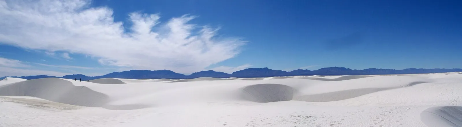
White Sands National Park looks like a snowfield that forgot to melt. Rolling dunes of pure white gypsum spread across the floor of the Tularosa Basin in southern New Mexico, ringed by the San Andres Mountains to the west and the Sacramento Mountains to the east.
AT A GLANCE
Best time
Spring and fall for mild days; winter for quiet dunes and cool hiking.
How long
One full day covers the highlights; add a second for sunrise and nearby sights.
Getting there
Drive from El Paso or Las Cruces; the park sits on US Highway 70 southwest of Alamogordo.
Why visit White Sands National Park
The dunefield here covers roughly 275 square miles, making it the largest gypsum dunefield in the world. Gypsum rarely survives as sand because it dissolves in water, but the Tularosa Basin has no outlet to the sea.
That geology gives you an experience unlike any other desert park. You can wander off-trail in most of the dunefield, sled down slopes, picnic under shaded shelters that look like they belong on another planet and watch the light change across a landscape with almost no color but white and sky blue.
White Sands became a national monument in 1933 and a national park in 2019. It shares the basin with White Sands Missile Range, which is why you will occasionally find the park closed for a few hours during tests.
Dunes Drive and the short trails
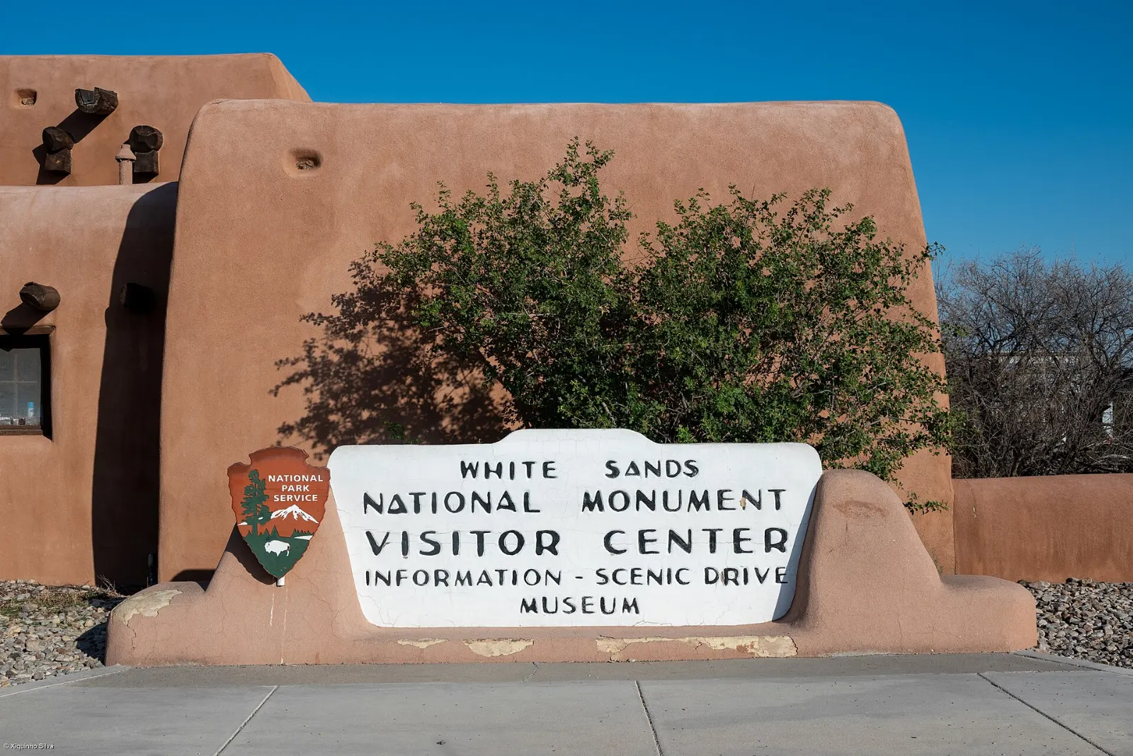
Most of what you will want to see lies along a single road, so the park is easy to navigate. Start at the visitor center, then work your way out along Dunes Drive, stopping at trailheads and picnic areas as you go.
White Sands Visitor Center
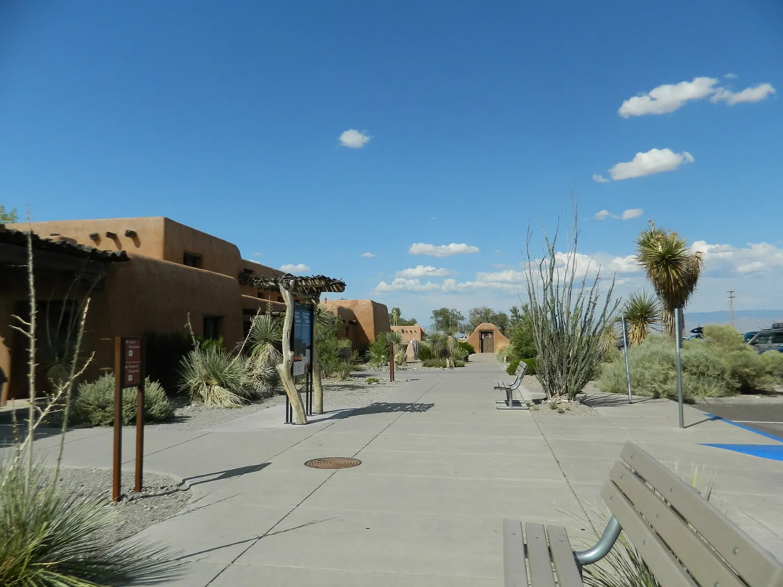
The visitor center is a Pueblo Revival adobe complex built by Works Progress Administration workers between 1936 and 1940, with carved wooden corbels, tin light fixtures and handmade furniture.
Dunes Drive
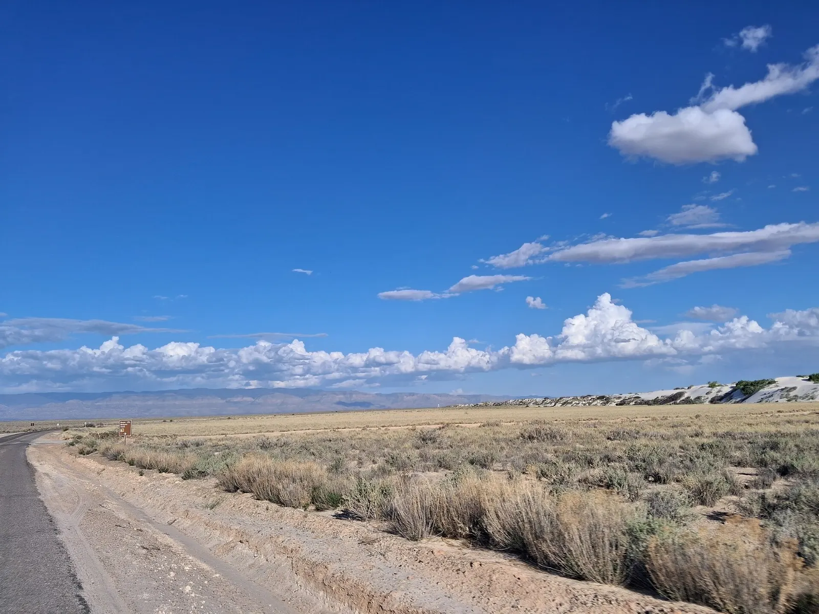
Dunes Drive runs about eight miles from the visitor center into the heart of the dunefield, so the round trip is roughly sixteen miles. The first stretch is paved and passes through vegetated dunes where yucca, rosemary mint and skunkbush sumac hold the sand in place.
Playa Trail and Dune Life Nature Trail
Two short trails near the start of the drive help you understand the landscape. The Playa Trail is a flat, half-mile loop to a small playa that may hold water after rain or show a crust of gypsum crystals when dry.
Interdune Boardwalk
The Interdune Boardwalk is an elevated, accessible walk of about four-tenths of a mile round trip through the fragile interdune area, where soil crusts and plants hold the sand together. Interpretive panels describe the ecology, and a shaded platform at the end offers views of the dunes rising around you.
Into the heart of the dunes
Once Dunes Drive loops into the bare dunes, the park becomes a giant playground. Pull into any of the parking areas and you can climb the nearest dune for views across a sea of white.
Alkali Flat Trail
The Alkali Flat Trail is the park's signature hike, a five-mile loop over steep, unshaded dunes to the edge of the Alkali Flat, the dry bed of ancient Lake Otero. There is no path to follow; instead you navigate from one marker post to the next.
Backcountry Camping Trail
This two-mile loop leads to a small number of primitive campsites tucked between the dunes. Even if you are not camping, it is a quieter alternative to the Alkali Flat Trail, with the same marker-post navigation and wide views toward the San Andres Mountains.
Sledding dunes and picnic areas
Sledding is a rite of passage at White Sands. Look for dunes with a steep, smooth slope and no plants at the bottom, then rub the bottom of your saucer with wax for speed.
Sunset and full moon programs
Rangers lead sunset strolls through the dunes on most evenings, and the park hosts special full moon events and night sky programs during parts of the year. Sunset is the most photogenic hour, when long shadows carve the dunes into sharp lines and the mountains glow.
Lake Lucero ranger tour
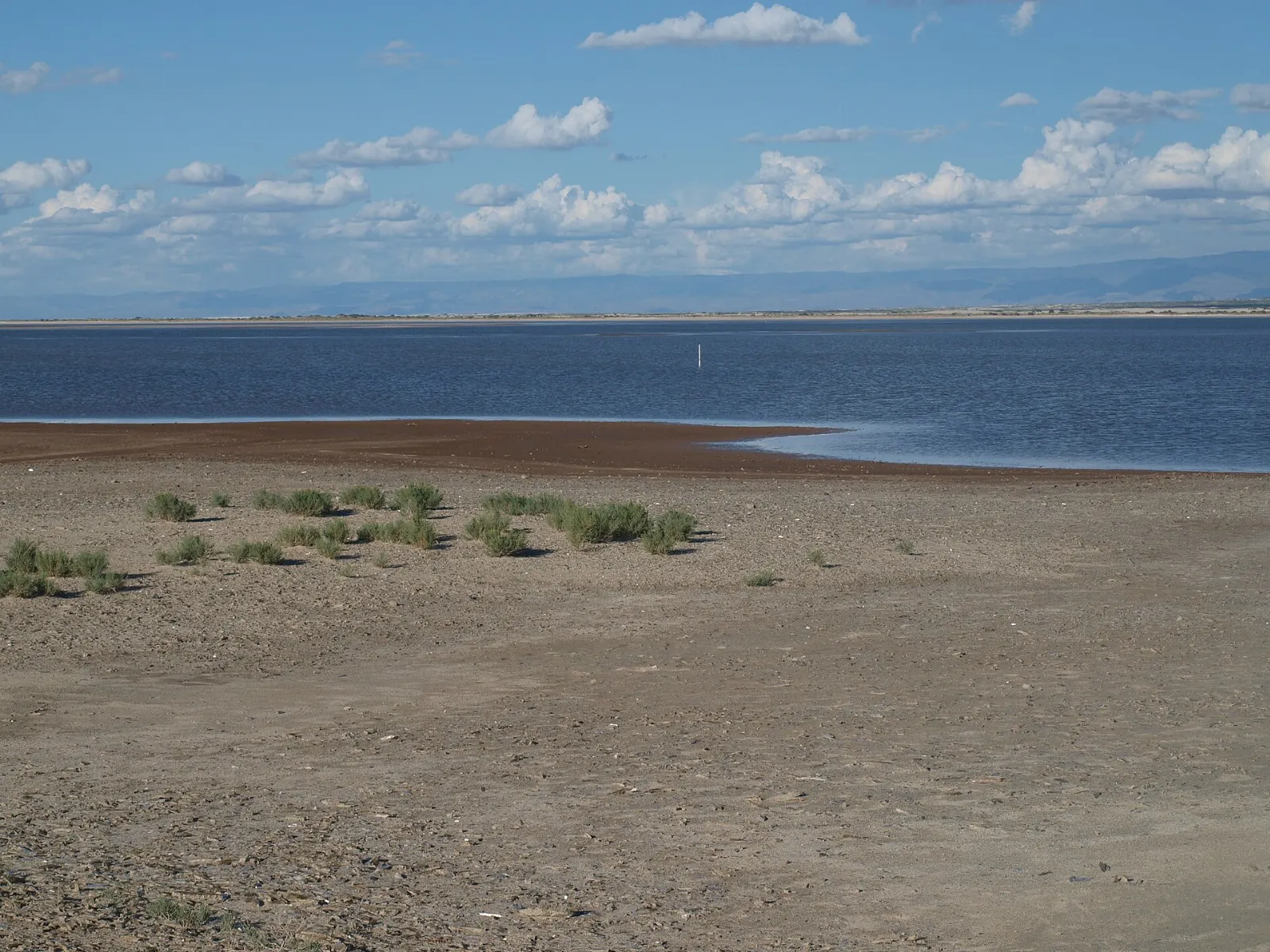
Lake Lucero is the playa where gypsum dissolved from the mountains collects, and where large selenite crystals form on the surface before being ground into sand.
Alamogordo and the Tularosa Basin
The park sits about fifteen miles southwest of Alamogordo, the nearest town and the best gateway for a longer stay. Several worthwhile sights lie within an easy drive.
New Mexico Museum of Space History
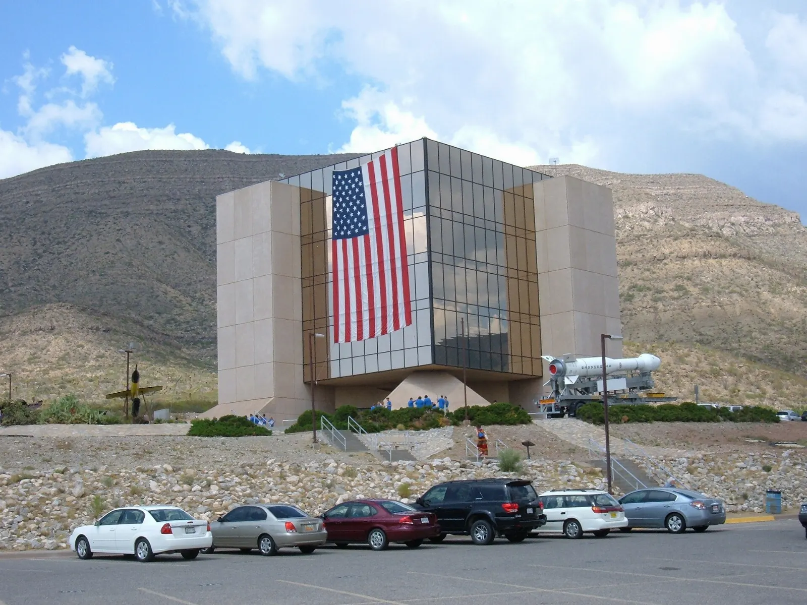
Set on a hillside above Alamogordo, this museum explores rocketry and space research in New Mexico, from early rocket pioneers to the testing that took place on the nearby range.
Three Rivers Petroglyph Site
About an hour north of the park near Tularosa, this site managed by the Bureau of Land Management protects thousands of petroglyphs carved into basalt boulders by the Jornada Mogollon people centuries ago.

Oliver Lee Memorial State Park
At the foot of the Sacramento Mountains south of Alamogordo, this state park sits at the mouth of Dog Canyon, where a spring-fed stream supports cottonwoods and ferns in an otherwise dry landscape.
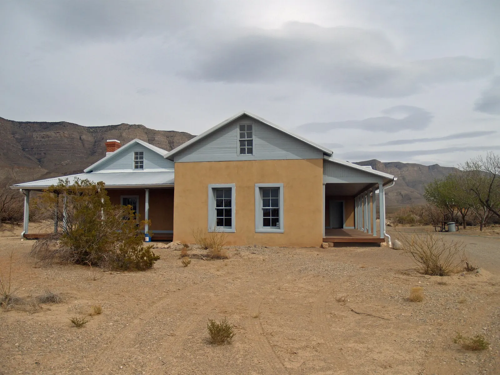
Cloudcroft and the Sacramento Mountains
A winding highway climbs from Alamogordo into the forested Sacramento Mountains to the village of Cloudcroft, more than four thousand feet higher than the basin floor. On hot summer days it offers cool pine air, short hikes such as the Osha Trail and the historic Mexican Canyon Trestle viewpoint.
 Planning a trip to White Sands National Park?Compare hotels, flights and vacation rentals for White Sands National Park on Expedia.Book now
Food and local flavors
There is no restaurant inside the park, so plan to eat in Alamogordo or pack a picnic. Southern New Mexico cooking centers on chile.
The Tularosa Basin is also known for pistachio farms and orchards, and Alamogordo is home to a giant roadside pistachio sculpture that makes a fun photo stop.
Popular dishes to try in White Sands National Park


Where to stay
Alamogordo is the most convenient base, with chain motels, independent inns and RV parks a short drive from the park entrance.
Las Cruces, roughly an hour west over San Augustin Pass, works well if you also want to explore Old Mesilla, the Organ Mountains-Desert Peaks National Monument or New Mexico State University.
For a memorable night, the park's backcountry campsites let you sleep among the dunes under dark skies.
Where to stay in White Sands National Park


Best time to visit
Spring, from March through May, brings pleasant temperatures but also the windiest weather of the year, when blowing gypsum can sting and reduce visibility.
Summer is hot, with afternoon temperatures commonly above one hundred degrees Fahrenheit, and the reflected glare makes it feel hotter. If you visit between June and September, explore in the early morning and evening and rest in the middle of the day.
Getting there and getting around
The closest major airport is El Paso International Airport in Texas, about an hour and a half by car.
Inside the park, you will drive Dunes Drive and park in designated lots.
Because the park neighbors White Sands Missile Range, both Dunes Drive and US Highway 70 can close for up to about three hours during military tests.
A suggested itinerary
First day
Arrive at the visitor center when it opens, watch the film and buy a sled. Drive out along Dunes Drive, walking the Interdune Boardwalk and Dune Life Nature Trail on the way.
Second day
Return to the dunes for sunrise if the gate schedule allows, when the sand is cool and covered in fresh tracks. Spend late morning at the New Mexico Museum of Space History, then drive north to the Three Rivers Petroglyph Site, or climb into the mountains for an afternoon in Cloudcroft.
Practical tips
- Check the park closure page for missile test schedules before driving out.
- Carry more water than you think you need, at least a gallon per person for longer hikes.
- Wear sunglasses, a hat and sunscreen; the white sand reflects sunlight intensely.
- Use waxed plastic saucers for sledding, and sled only on slopes with a clear runout.
- Note the time Dunes Drive closes each evening and be back at your car before then.
- Do not hike the Alkali Flat Trail in strong winds, extreme heat or poor visibility.
Find local businesses in Alamogordo on WiserMap
Alamogordo is the gateway town for White Sands, with places to eat, sleep, fuel up and stock up on water and snacks before a day on the dunes.