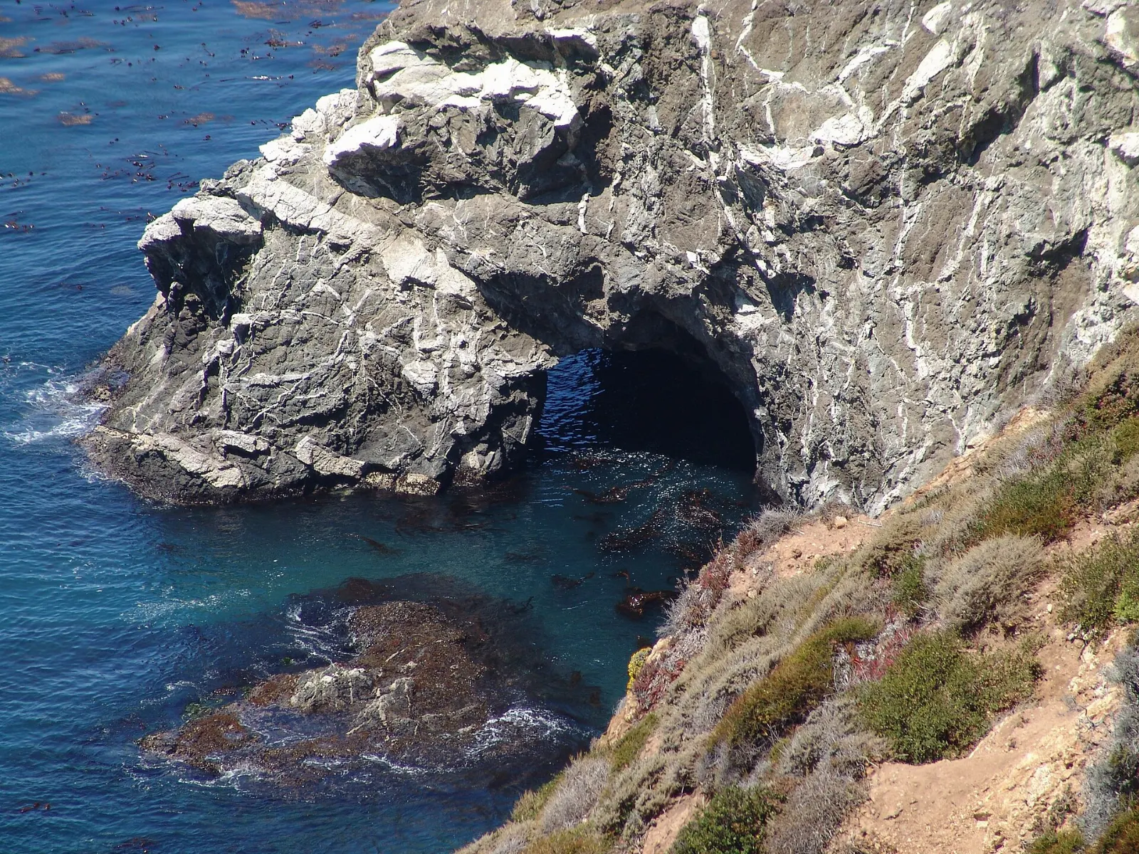
Big Sur is not a town but a stretch of coast, roughly ninety miles long, where the Santa Lucia Mountains drop almost straight into the Pacific between Carmel and San Simeon.
AT A GLANCE
Best time
April to May and September to October for clearer skies and fewer crowds.
How long
Two to three days to drive the coast and hike without rushing.
Getting there
Fly into Monterey or San Jose, then drive south on Highway 1 from Carmel.
Why visit Big Sur
Big Sur's appeal is the meeting of mountain and ocean on a dramatic scale. The road rises hundreds of feet above the surf, then drops into canyons shaded by coast redwoods, the southernmost large stands of the species.
The coast has long attracted writers and artists, from Henry Miller to the poets of the Beat era, and it keeps a quiet, independent character. There are no large towns, few stores and patchy cell service, so a visit here means slowing down, planning ahead and spending time outdoors.
The northern coast: Point Lobos to Point Sur
Point Lobos State Natural Reserve
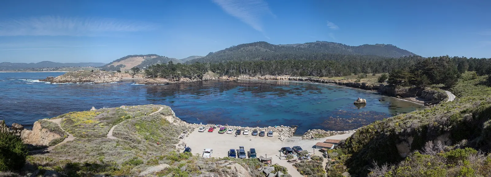
Just south of Carmel, Point Lobos is often called the crown jewel of California's state parks. Short, mostly level trails loop around coves of green water, granite headlands and groves of wind-shaped Monterey cypress, one of only two natural stands of the tree.
Garrapata State Park
A few miles farther south, Garrapata State Park has no visitor center, only roadside turnouts marked by numbered gates. From the trailhead at Soberanes Point, an easy walk circles a headland above crashing surf, while the steep Soberanes Canyon Trail leads inland into a redwood-lined creek canyon.
Bixby Creek Bridge
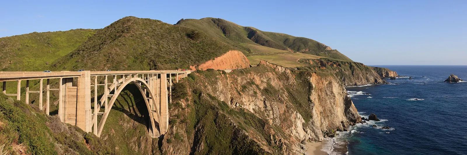
Bixby Creek Bridge, completed in 1932, is one of the most photographed bridges in the world, a single concrete arch more than 260 feet above the creek mouth. The best views are from the pullout on the north side of the bridge.
Point Sur State Historic Park
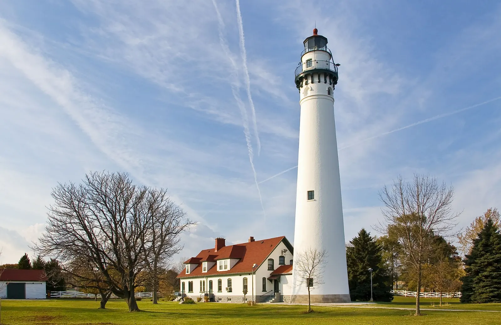
On a volcanic rock rising from the sea, the Point Sur Light Station has guided this coast since 1889. Access is only by docent-led tour on scheduled days, meeting at a gate on the highway; tours involve a steep walk and take around three hours.
Central Big Sur: redwoods, beaches and waterfalls
Andrew Molera State Park
Andrew Molera State Park, at the mouth of the Big Sur River, is a large, undeveloped park of meadows, bluffs and a beach.
Pfeiffer Big Sur State Park
The heart of the Big Sur Valley, Pfeiffer Big Sur State Park has a campground, a lodge and trails through redwood groves along the Big Sur River.
Pfeiffer Beach
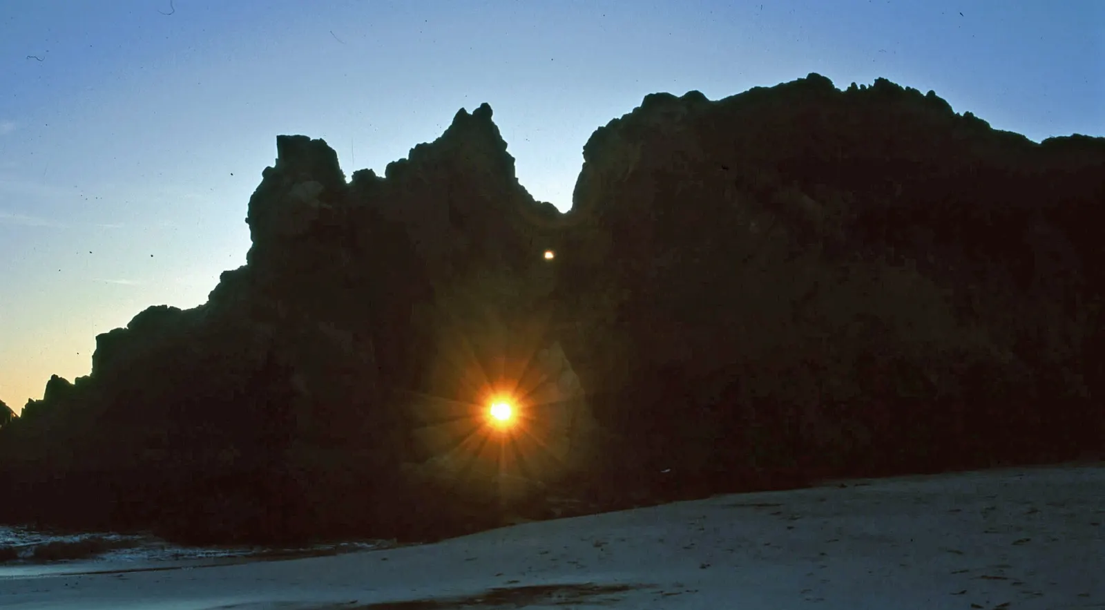
Reached by Sycamore Canyon Road, a narrow, unsigned and winding road just south of the Big Sur Post Office, Pfeiffer Beach is known for streaks of purple sand from manganese garnet in the cliffs and for Keyhole Arch, where waves surge through a hole in an offshore rock.
Henry Miller Memorial Library and the village area
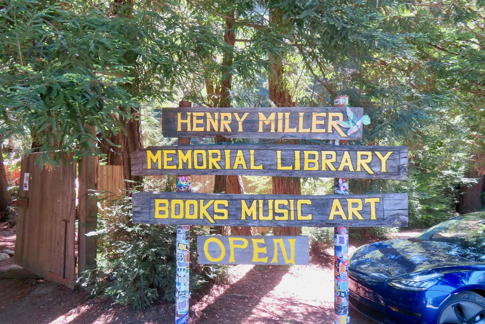
The Henry Miller Memorial Library, in a redwood grove along Highway 1, is a bookshop, gallery and event space celebrating the writer who lived in Big Sur from the 1940s into the 1960s. It is a pleasant spot to browse and relax, and it hosts concerts and talks.
Julia Pfeiffer Burns State Park and McWay Falls
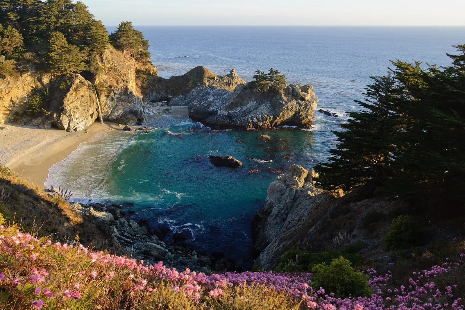
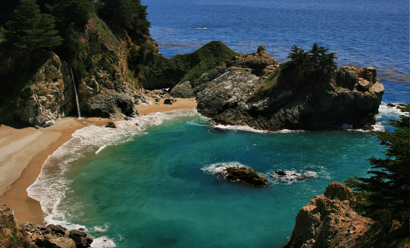
McWay Falls, an 80-foot waterfall that drops onto the sand of a turquoise cove, is the most famous sight on this coast. Normally, a short Overlook Trail leads from the park entrance under the highway to a viewpoint above the cove.
Partington Cove
Just north of Julia Pfeiffer Burns, a steep fire road leads down from a highway turnout to Partington Cove, where a tunnel cut through the rock once let loggers load tanbark oak onto ships. The walk down and back takes about an hour, and the climb back up is steep.
The southern coast: Sand Dollar Beach to San Simeon
Sand Dollar Beach
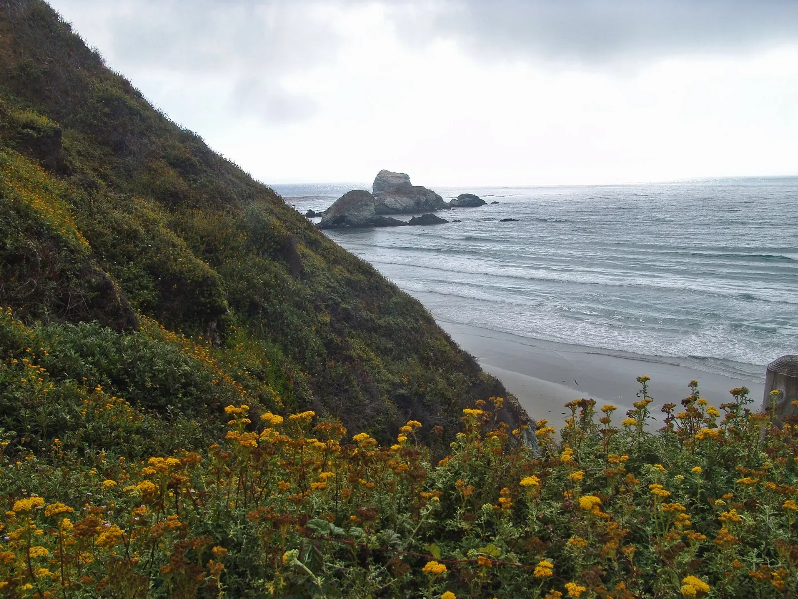
South of the tiny settlement of Lucia, Sand Dollar Beach is one of the longest sandy beaches in Big Sur, a broad crescent below cliffs managed by the Los Padres National Forest.
Ragged Point
Ragged Point marks the southern end of the Big Sur coast's most rugged section, with a viewpoint above cliffs and a short, steep trail toward a waterfall and the beach.
Piedras Blancas elephant seal rookery
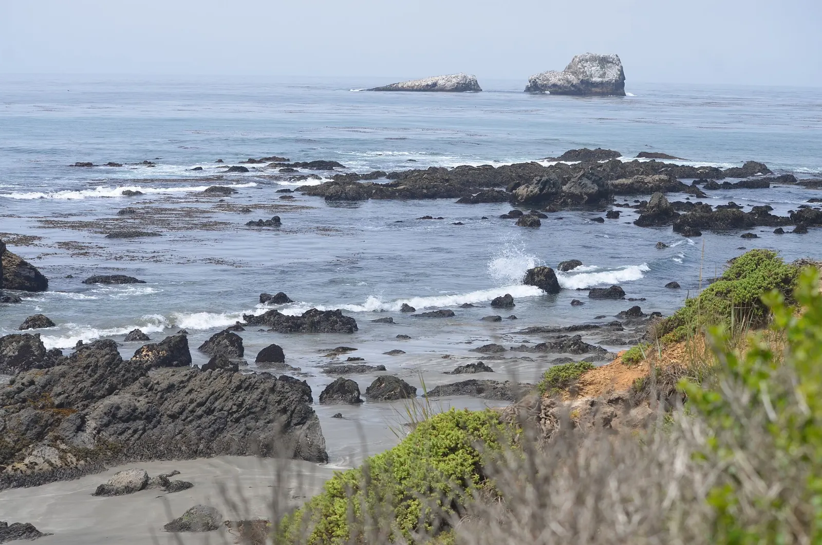
Just north of San Simeon, the beaches at Piedras Blancas host thousands of northern elephant seals at different times of year. From December to March, males fight for territory and pups are born; spring brings molting, and in autumn juveniles return to rest.
Food and local flavors
Dining in Big Sur is limited to a handful of restaurants, cafes and lodges, most clustered in the Big Sur Valley, so plan meals around them and expect to pay resort prices.
Groceries are scarce and expensive, so stock up in Carmel or Monterey, or in Cambria if you are coming from the south, and pack a picnic for the state parks.
Popular dishes to try in Big Sur


Where to stay
The Big Sur Valley, around Pfeiffer Big Sur State Park, has lodges, cabins and campgrounds among the redwoods.
Cliffside retreats along the central coast offer secluded rooms with ocean views.
Carmel-by-the-Sea and Monterey have the widest choice of lodging and dining.
Cambria and San Simeon are the best bases at the southern end, close to the elephant seals and Hearst Castle.
Where to stay in Big Sur


Best time to visit
Spring, from March to May, brings green hills, wildflowers and full waterfalls, with gray whales still passing offshore.
September and October are often the clearest, warmest months on the coast, with smaller crowds after school starts.
Getting there and getting around
Monterey Regional Airport is closest to the northern end, while San Jose and San Francisco offer more flights and are about two and three hours away by car.
Highway 1 is a two-lane road with tight curves and few places to pass.
A suggested itinerary
First day
Start at Point Lobos at opening and walk the coastal loops. Drive south with stops at Garrapata and the Bixby Creek Bridge pullout, then join a Point Sur lighthouse tour if one is scheduled.
Second day
Hike to Pfeiffer Falls and the Valley View overlook in the morning, then walk to the beach at Andrew Molera.
Third day
Head south to Julia Pfeiffer Burns State Park for McWay Falls, add the walk to Partington Cove, then continue past Lucia to Sand Dollar Beach.
Practical tips
- Check Caltrans for current Highway 1 conditions before you set out, even in summer.
- Reserve lodging and campsites far in advance; Big Sur has few rooms and they fill quickly.
- Fill up with gas and buy groceries before entering Big Sur.
- Download offline maps and do not count on cell service.
- Park only in marked turnouts and never block the road for photos.
- Stay out of the water at most beaches; cold water, sneaker waves and rip currents are dangerous.
Find local businesses in Monterey on WiserMap
Monterey is the main gateway to Big Sur, and the best place to stock up, refuel and find a meal before the drive.