Valley of Fire Nevada Fire Wave White Domes and Petroglyphs
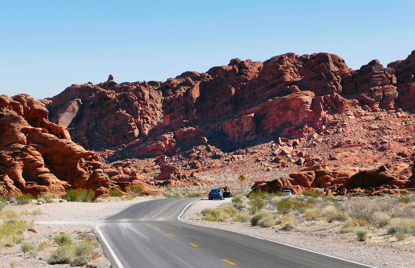
An hour northeast of the Las Vegas Strip, the Mojave Desert suddenly ignites. Valley of Fire State Park is a basin of flaming red, orange, pink and cream sandstone, carved by wind and water into domes, arches, fins and waves.
By WiserMap TravelUpdated October 20269 places10 min read
The park is small enough to explore in a single long day, yet varied enough to fill two or three. This guide covers the best viewpoints and short hikes, how to handle the desert heat, where to stay nearby and how to plan your time, whether you are visiting from Las Vegas or making the nearby town of Overton your base.
At a glance Valley of Fire State Park
Best timeOctober through April, when days are mild and every trail is open.
How longOne full day for the highlights; two days for sunrise, sunset and longer walks.
Getting thereAbout fifty miles from Las Vegas via Interstate 15 and Valley of Fire Highway.
Ad
Why visit Valley of Fire
The red rock here is Aztec Sandstone, formed from shifting sand dunes around 150 million years ago and later uplifted, faulted and eroded. The result is an unusually dense collection of colorful formations packed into a basin only a few miles across, so you can see a great deal without long drives or strenuous hikes.
The park also tells a human story. Ancestral Puebloan farmers from the nearby Moapa Valley visited the area to hunt, gather food and possibly hold ceremonies, leaving petroglyphs on the dark varnished rock faces.
Hollywood noticed too. Parts of Viva Las Vegas, Total Recall and Star Trek Generations were filmed here, and car commercials regularly use the winding road through the red rocks.
Along Valley of Fire Road: entrances, arches and rock art
Valley of Fire Road crosses the park from west to east for about ten and a half miles and is a designated Nevada Scenic Byway.
The Beehives
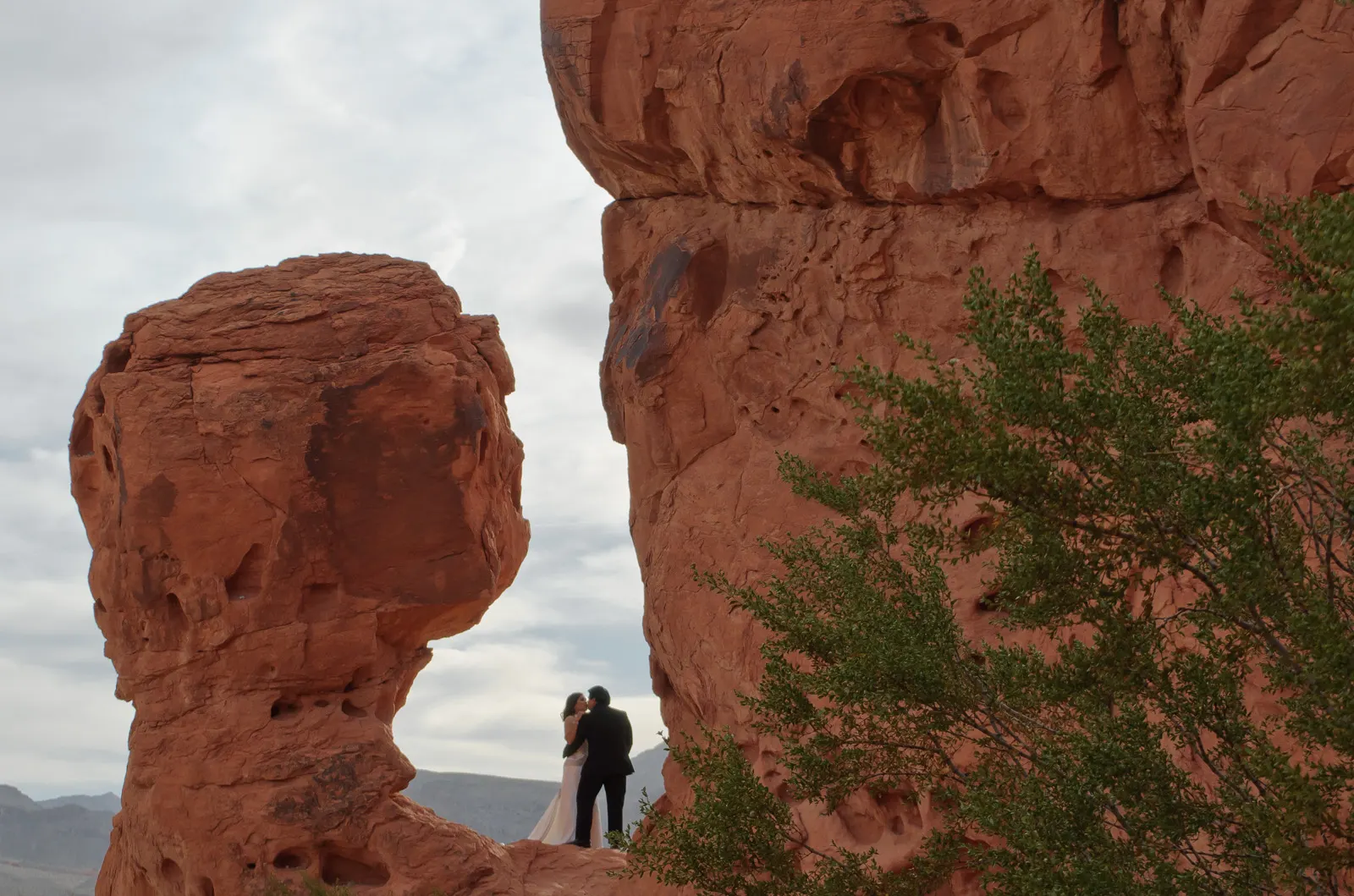
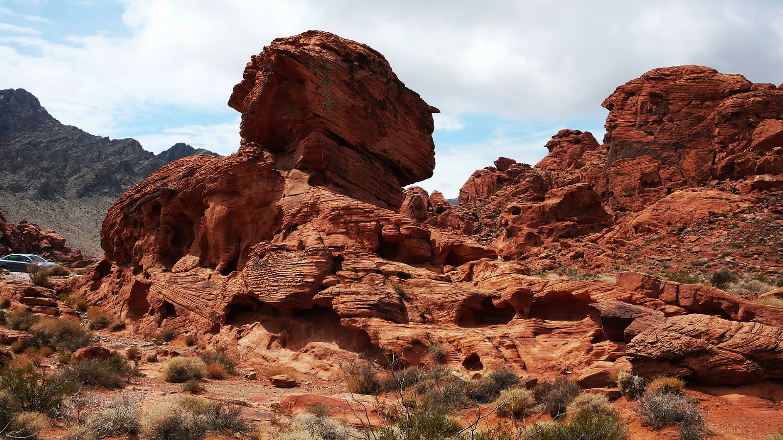
Just inside the west entrance, these rounded sandstone mounds show fine, curving layers that record the ancient dunes they once were. A short walk takes you around and between them, and there are shaded picnic areas nearby.
Wind and water carved the Beehives into rounded, layered sandstone mounds. Photo: David Balmer, Wikimedia Commons, CC BY 3.0
Atlatl Rock
A metal staircase climbs the side of a large rock to a panel of petroglyphs high on the cliff face, including a figure of an atlatl, a spear-throwing tool that came before the bow and arrow.
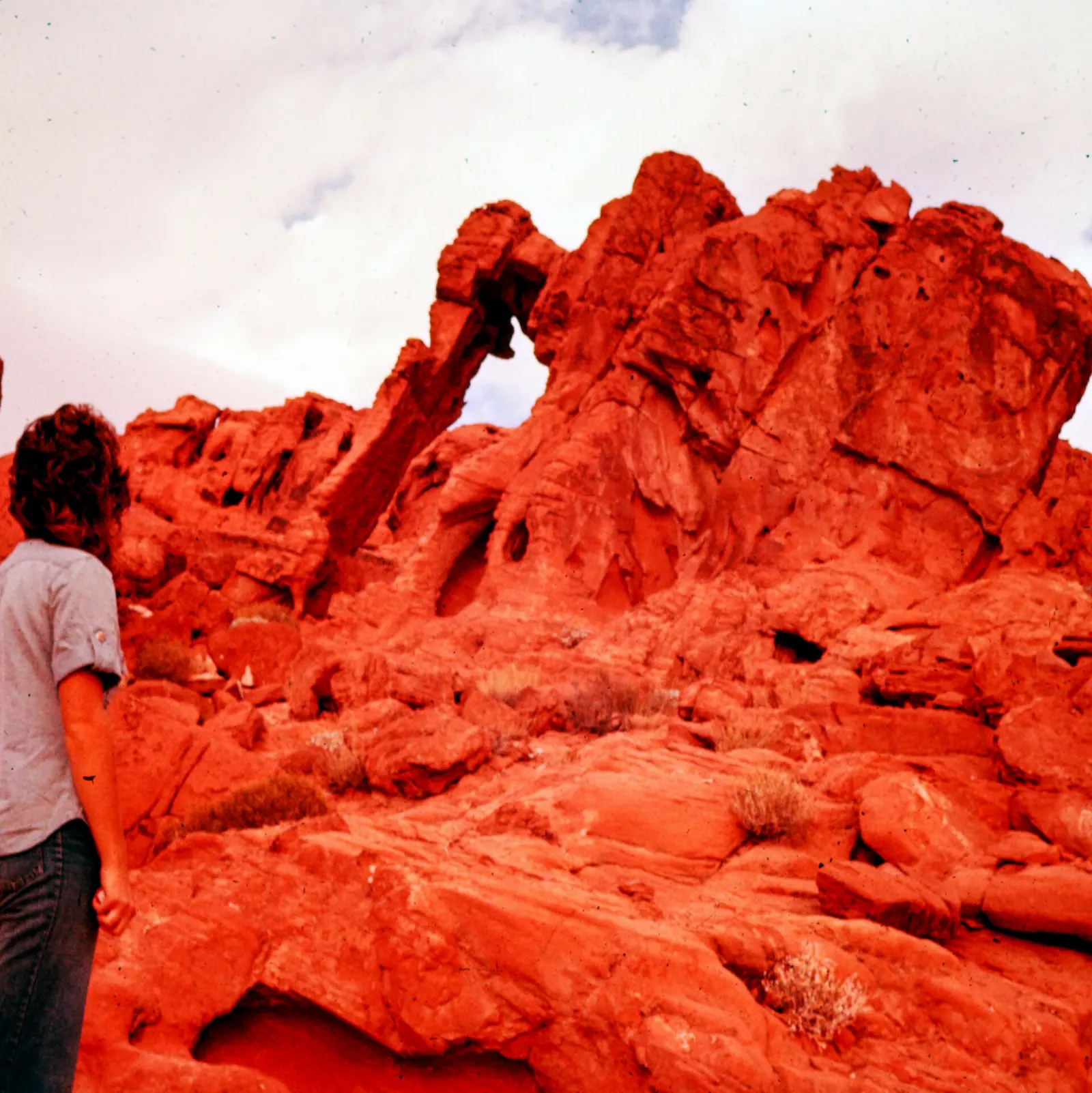
Near the east entrance, a short trail from the roadside parking area leads to the park's most famous single formation, an arch that looks remarkably like an elephant lowering its trunk to the ground. Allow twenty to thirty minutes.
Elephant Rock stands beside the road near the park's east entrance. Photo: Chris Light, Wikimedia Commons, CC BY-SA 4.0
Ad
The White Domes Road: canyons, viewpoints and the Fire Wave
From the visitor center, a scenic road runs north into the heart of the park. This is where you will find the most dramatic colors and the most popular short hikes, so start here early in the day.
Mouse's Tank and Petroglyph Canyon
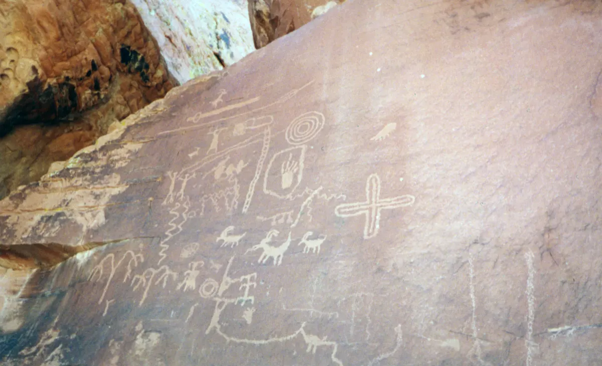
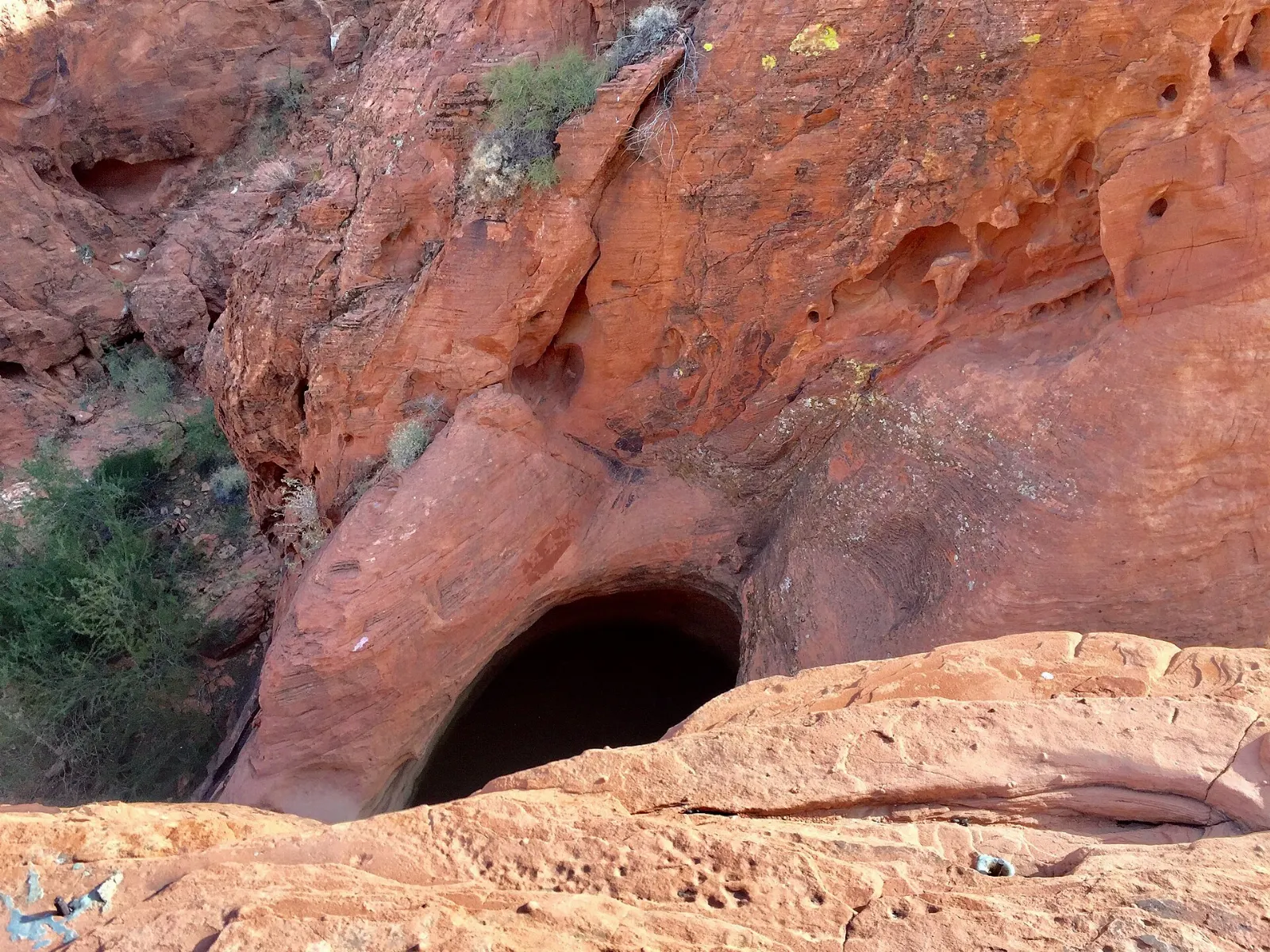
A sandy, mostly level trail of roughly three quarters of a mile round trip leads through Petroglyph Canyon, where the walls carry some of the most accessible rock art in the park.
The trail to Mouse's Tank passes through Petroglyph Canyon, lined with ancient rock art. Photo: w_lemay, Wikimedia Commons, CC0
Rainbow Vista
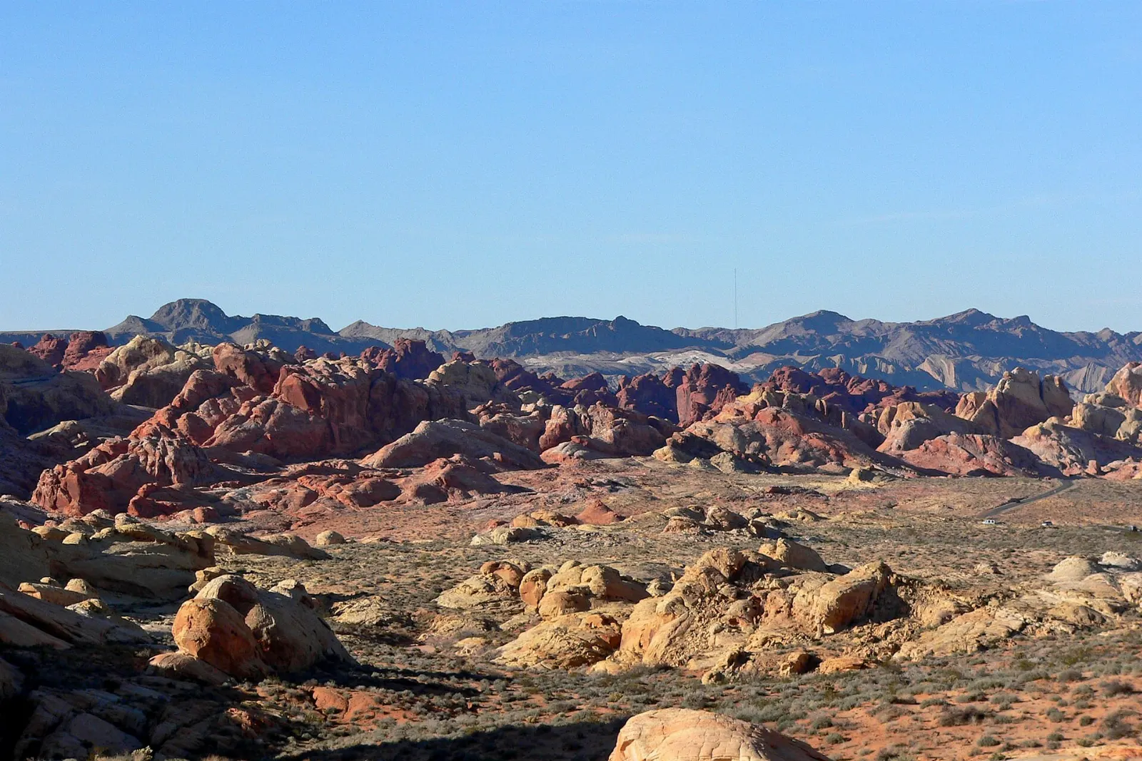
A short trail from a roadside parking area leads to a viewpoint over a sweeping valley of multicolored sandstone, with bands of red, orange, lavender and cream. The trail continues toward Fire Canyon for those who want a longer walk.
Rainbow Vista looks out over a broad sweep of red, orange and cream sandstone. Photo: Stan Shebs, Wikimedia Commons, CC BY-SA 3.0
Fire Canyon and Silica Dome
A spur road leads to an overlook above Fire Canyon, whose walls are some of the deepest red in the park, set against the pale, almost white Silica Dome.
The Fire Canyon overlook faces the deep red walls of Fire Canyon and the pale Silica Dome. Photo: Jeffhollett, Wikimedia Commons, CC BY-SA 4.0
The Fire Wave
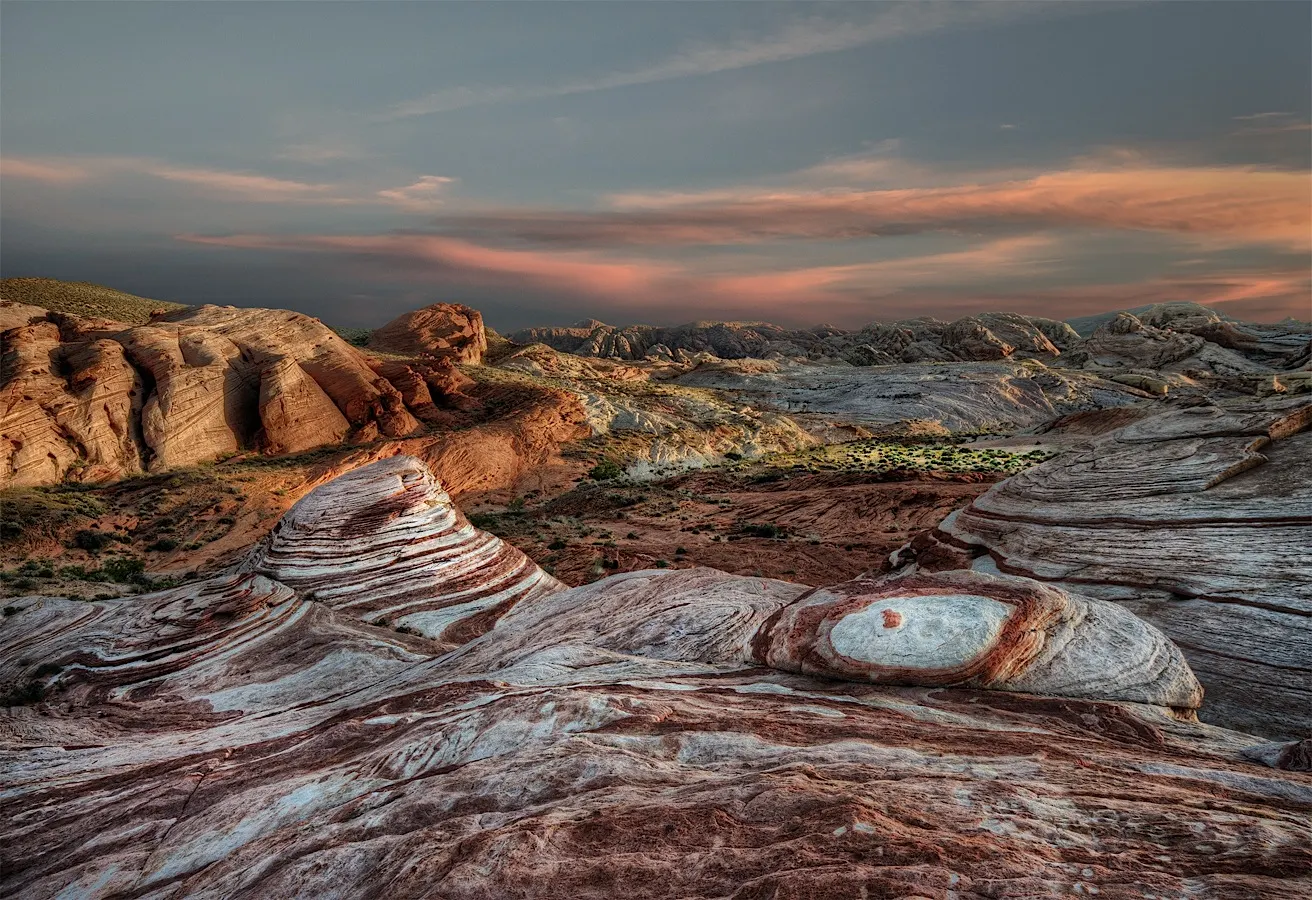
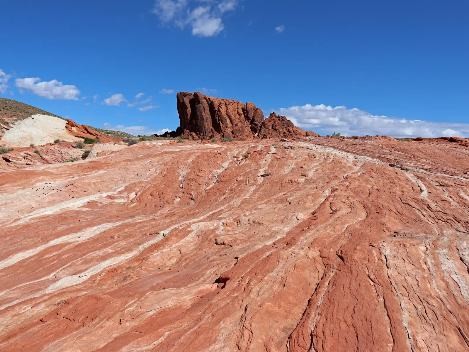
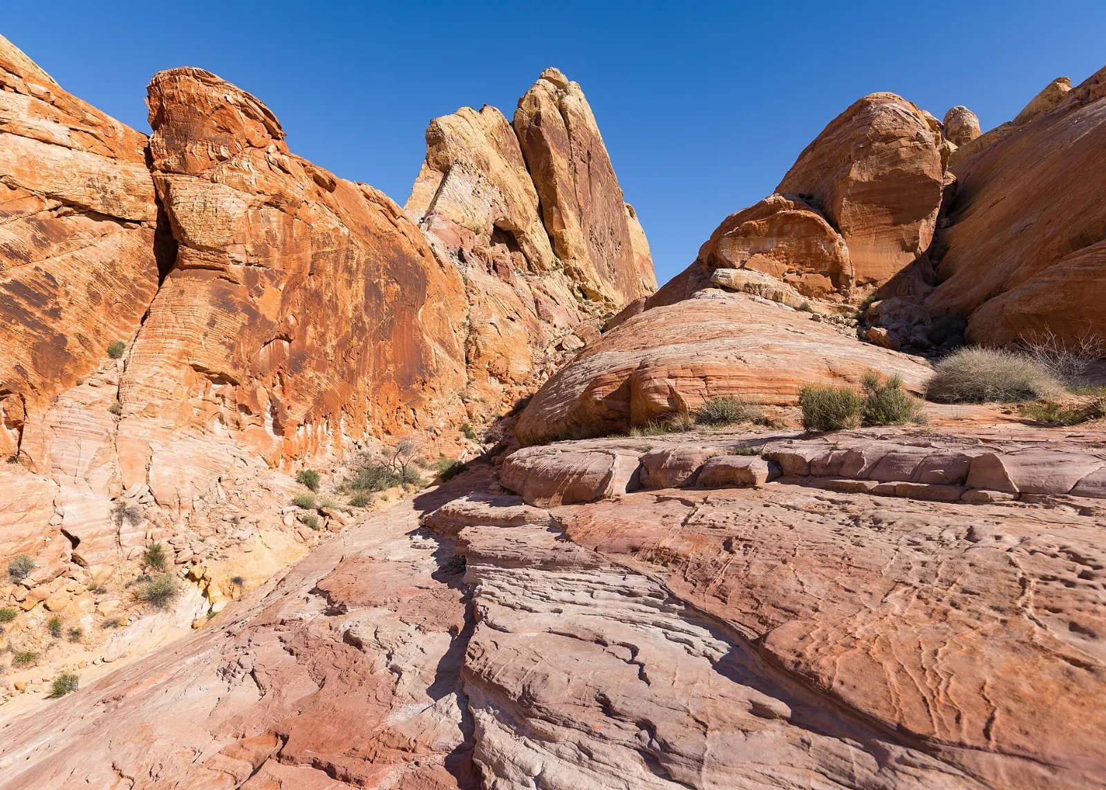
The park's signature formation is a sweeping bowl of sandstone banded in red and white, like a frozen wave.
White Domes and Pastel Canyon
At the end of the scenic road, the White Domes loop is roughly a mile long and packs in a lot: cream and red sandstone domes, a short slot canyon and the crumbling remains of a set built for the 1966 film The Professionals.
The White Domes loop passes cream-colored sandstone and a short slot canyon. Photo: Frank Schulenburg, Wikimedia Commons, CC BY-SA 4.0
Food and local flavors
There are no restaurants inside Valley of Fire, so plan your meals carefully.
The closest places to eat are in Overton and Logandale in the Moapa Valley, a farming community along the Muddy River where small-town diners serve burgers, Mexican dishes and breakfast plates.
Popular dishes to try in Valley of Fire State Park
Burgers The closest places to eat are in Overton and Logandale in the Moapa Valley, a farming community along the Muddy River where small-town diners serve burgers, Mexican dishes and…Photo: Bahnfrend, Wikimedia Commons, CC BY-SA 4.0Picnic The park's picnic areas, especially at the Seven Sisters, the Beehives and near Atlatl Rock, are good spots for lunch, with shaded tables and some grills.Photo: Jennifer 8. Lee, Wikimedia Commons, CC BY-SA 4.0Taquerias If you return to Las Vegas, you have the opposite problem: an almost endless choice, from casual taquerias and Asian restaurants in Chinatown along Spring Mountain Road to the…Photo: Michael Barera, Wikimedia Commons, CC BY-SA 4.0Breakfast The closest places to eat are in Overton and Logandale in the Moapa Valley, a farming community along the Muddy River where small-town diners serve burgers, Mexican dishes and…Photo: Queensland State Archives from Runcorn, Queensland, Australia, Wikimedia Commons, Public domain
Ad
Where to stay
For the best light and the quietest hours, stay inside the park. The Atlatl Rock and Arch Rock campgrounds sit among the red rocks, and staying overnight lets you watch sunrise without a long drive and enjoy dark night skies.
Overton and Logandale are the closest towns, with a handful of motels and rentals and an easy drive to the east entrance. They suit travelers who want a quiet, rural base and an early start.
Where to stay in Valley of Fire State Park
Valley of Fire State Park downtown One of the best areas to base yourself in Valley of Fire State Park.Photo: NASA Earth Observatory images by Wanmei Liang, using VIIRS data fro…, Wikimedia Commons, Public domainValley of Fire State Park street One of the best areas to base yourself in Valley of Fire State Park.Photo: Gzzz, Wikimedia Commons, CC BY 4.0
Best time to visit
Late autumn, winter and spring are the ideal seasons. Winter days are generally mild, often in the fifties to seventies Fahrenheit, though nights can drop toward freezing, and occasional Pacific storms bring rain.
Summer is dangerous for hiking. Daily highs commonly exceed one hundred degrees and can reach far higher, and the sandstone radiates heat.
Ad
Getting there and getting around
The nearest major airport is Harry Reid International Airport in Las Vegas. From the city, drive north on Interstate 15 and take the Valley of Fire Highway exit to the west entrance; the drive takes about an hour.
There is no public transportation into the park, so you need a car or an organized tour. Pay the entrance fee per vehicle at the entrance station, and check the official website for current hours and fees.
A suggested itinerary
First day
Leave Las Vegas before sunrise and enter from the west. Walk around the Beehives in the soft morning light, then climb to Atlatl Rock and drive the Arch Rock loop.
If you camp in the park or stay in Overton, catch sunrise at Elephant Rock and the historic cabins, then drive Northshore Road into Lake Mead National Recreation Area for views of the lake and desert mountains. In Overton, visit the Lost City Museum, which interprets the Ancestral Puebloan settlements of the Moapa Valley, before returning to the park for a slow final walk at golden hour.
Ad
Practical tips
Carry at least a gallon of water per person per day, even for short walks, and turn back if you feel dizzy or stop sweating.
Check the Nevada State Parks website for trail closures, especially from late spring through early autumn.
Wear sturdy shoes with grip; sand and slickrock are slippery, and some trails have uneven steps.
Do not touch petroglyphs or climb on fragile formations, and never carve or chalk the rock.
Keep to marked trails to protect desert crusts and plants, and watch for bighorn sheep from a distance.
Pets are allowed on a leash, but hot rock burns paws quickly, so avoid midday walks with dogs.