WiserMap — Choose wisely. Connect locally.Choose wisely. Connect locally.Add your business
Yuriria, Guanajuato · Travel guide

Yuriria Mexico Fortified Convent and Lake Birdlife

Yuriria is a small town on the southern shore of a shallow lake in the Valles del Sur region of Guanajuato, close to the Michoacán border. Its name comes from the Purépecha for the lake of blood, and the place is best known for a huge fortified Augustinian monastery that has watched over the water since the sixteenth century.

By WiserMap TravelUpdated October 2026 8 places9 min read
FacebookXLinkedIn
At a glance Yuriria
  1. Best timeWinter for migratory birds and mild days, spring for easy exploring.
  2. How longOne day for the town and lake, two or three adds nearby towns.
  3. Getting thereDrive from the Bajío or take regional buses to the Guanajuato lowlands.

Why visit Yuriria

Yuriria is the kind of place that rewards slow travel. The monastery is one of the most important architectural landmarks in the state, the lake is a wetland of international importance and the surrounding towns keep a strong local flavour.

The area is not set up around mass tourism, so you will see everyday life as you go. Ask questions, take your time and confirm opening days locally. A relaxed pace suits the region, where the best moments tend to be an early walk by the water, a long lunch after the monastery and an unhurried drive between small towns.

The best places to visit in Yuriria

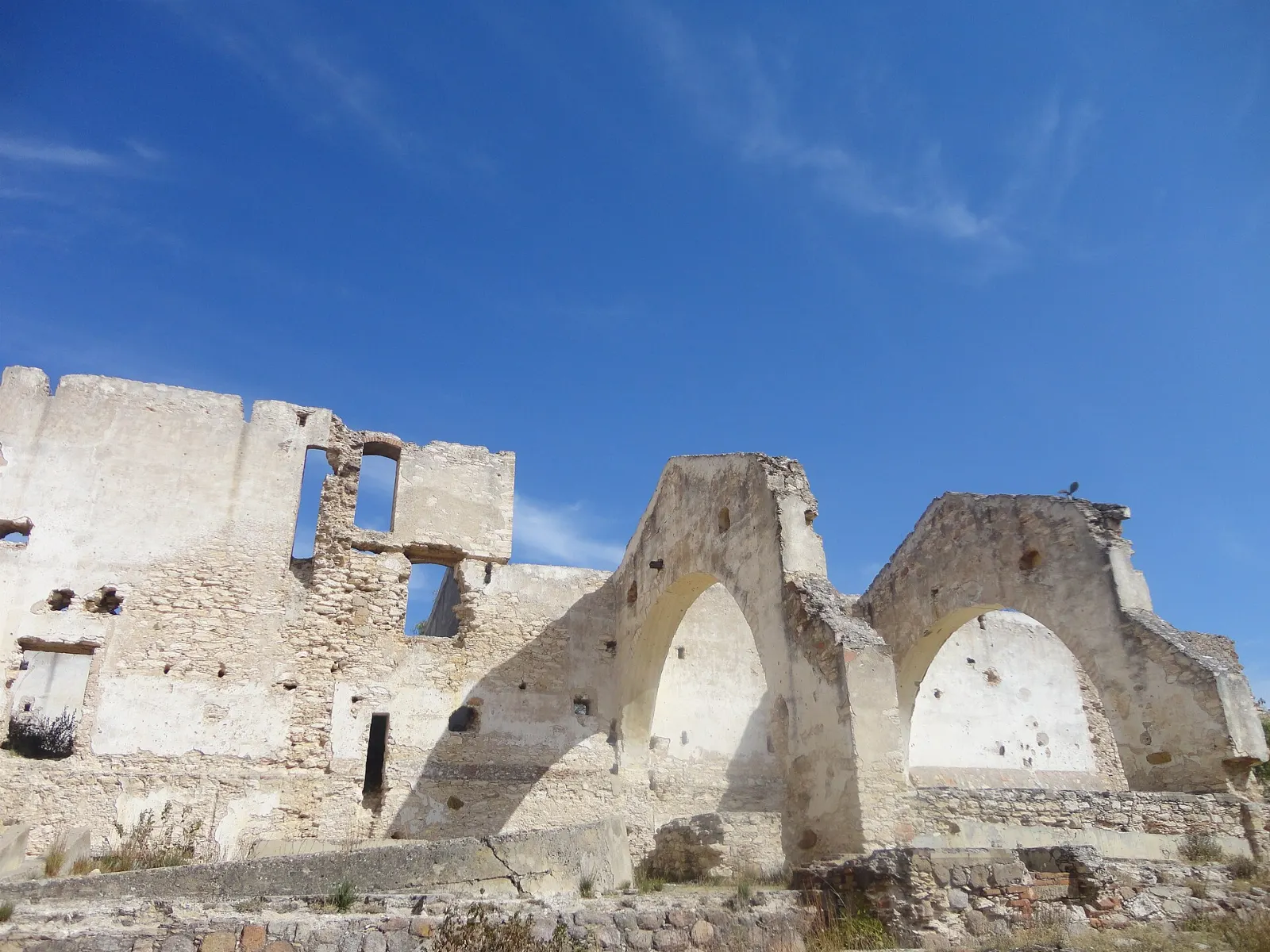
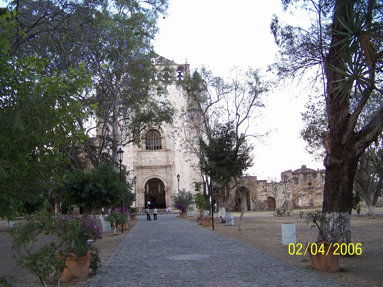
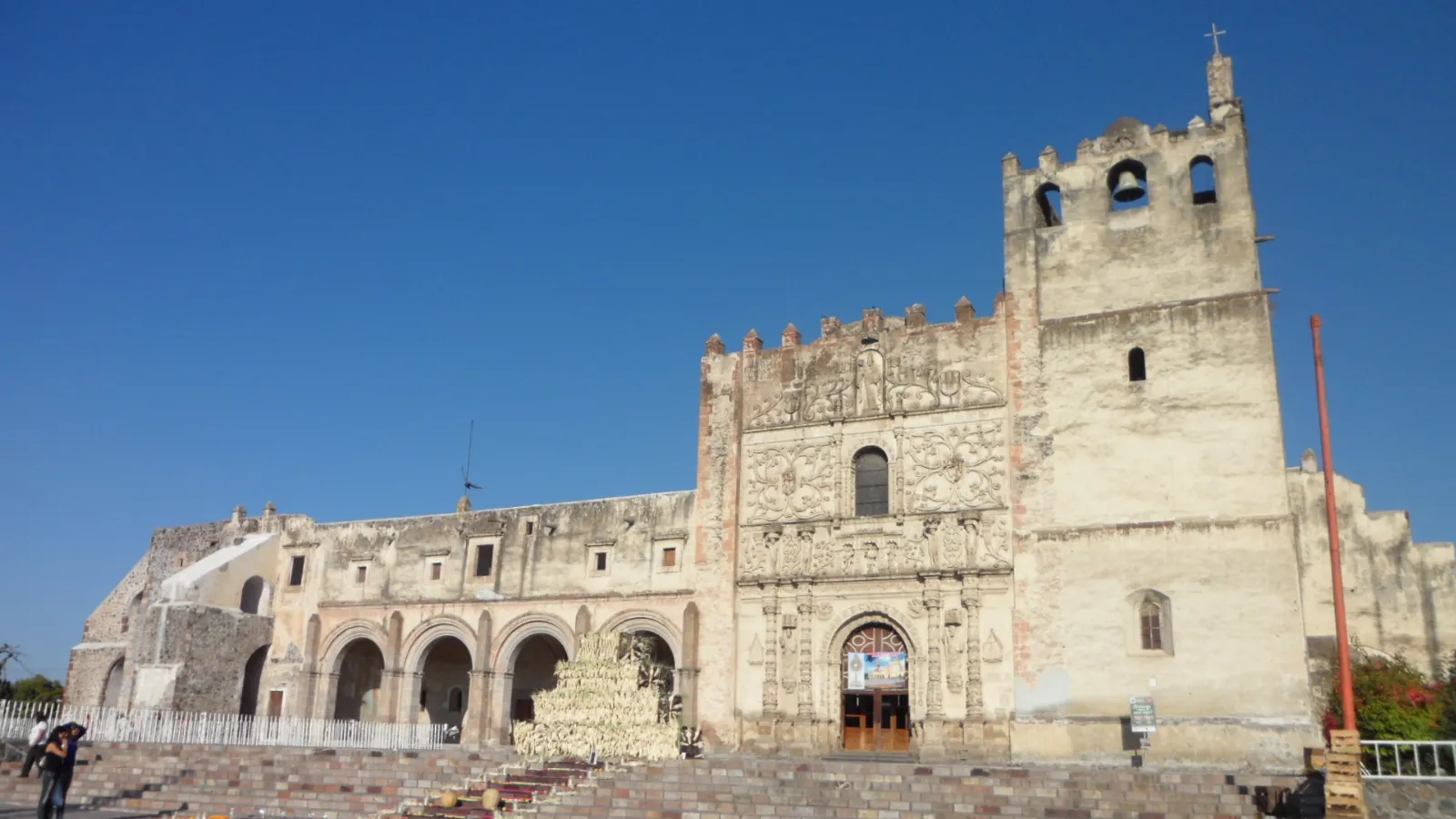
Ex-Convento de San Agustín

The former Augustinian monastery is probably the town's most important building and a symbol of the state.

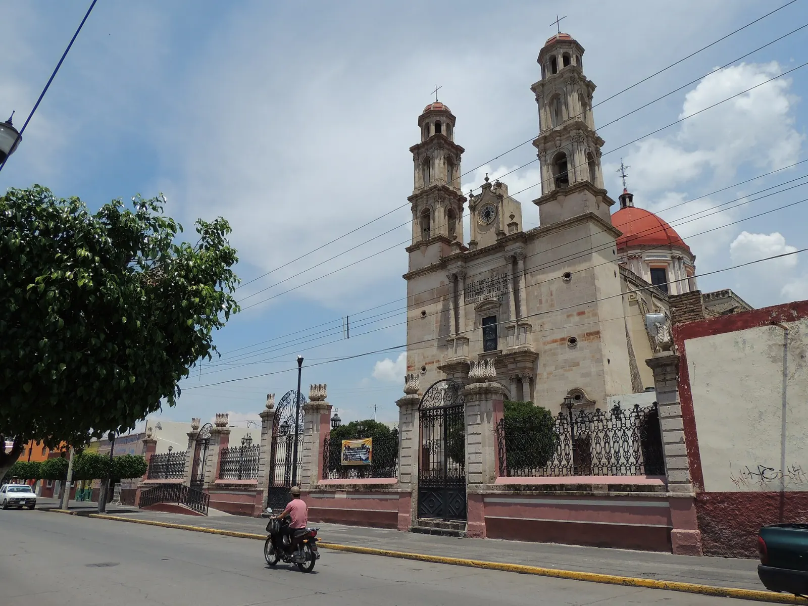
Facade of the Templo de la Preciosa Sangre de Cristo in Yuriria, Guanajuato

Templo de la Preciosa Sangre de Cristo

This nineteenth-century church houses a black figure of Christ that dates to the seventeenth century. It is a short walk from the centre and makes a good contrast to the monastery.

The Templo de la Preciosa Sangre de Cristo is a nineteenth-century church in Yuriria. Photo: Jazmín García, Wikimedia Commons, CC BY-SA 3.0
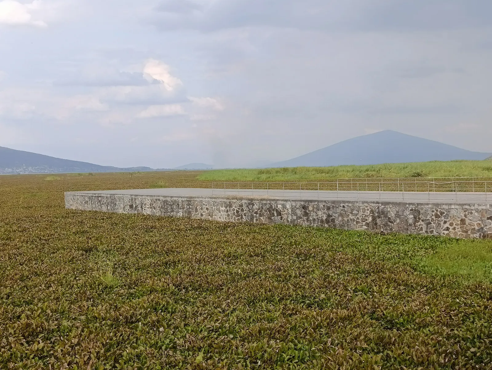
Shallow waters and reeds of Laguna de Yuriria, Guanajuato

Laguna de Yuriria

The town sits on the southern shore of the lake, a shallow reservoir of about seven thousand hectares fed by water from the Lerma River. It has existed since the sixteenth century and is used to irrigate nearby farms.

Lake Yuriria is a shallow reservoir that has existed since the sixteenth century. Photo: Juan Carlos Fonseca Mata, Wikimedia Commons, CC BY-SA 4.0

Birdwatching on the lake

More than one hundred and forty bird species have been recorded here, many of them aquatic, and the lake is designated an Important Bird Area. Species include white pelicans, teal and wigeon.

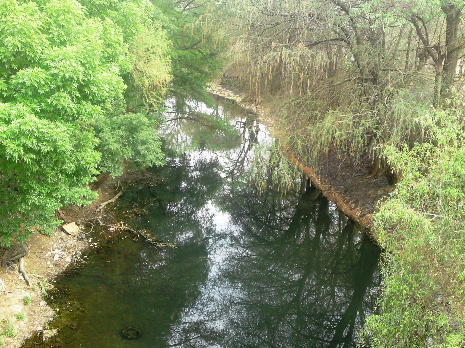
The Lerma River winding through the Bajío in Guanajuato, Yuriria, Guanajuato

The Lerma canal

In 1548, Friar Diego de Chávez supervised the building of a canal from the Lerma River to enlarge the lake, one of the first hydraulic engineering works in colonial America. It still links the two waters.

A canal links Lake Yuriria with the Lerma River and refills the lake during wet periods. Photo: Paco Sujet, Wikimedia Commons, CC BY-SA 3.0

Santa Mónica Ozumbilla

This village is one of the oldest communities in the municipality, dating to the early sixteenth century. It is a pleasant drive through farmland, and an easy way to see rural life beyond the town centre.

Nearby towns and craters

Historic buildings in the centre of Salvatierra in Guanajuato, Yuriria, Guanajuato

Salvatierra

Salvatierra became the first city in Guanajuato in 1646 and was named a Pueblo Mágico in 2012. It is rich in civil and religious architecture, including haciendas, convents, bridges and large houses.

Salvatierra became the first city of Guanajuato in 1646 and is a Pueblo Mágico. Photo: Juan Carlos Fonseca Mata, Wikimedia Commons, CC BY-SA 4.0

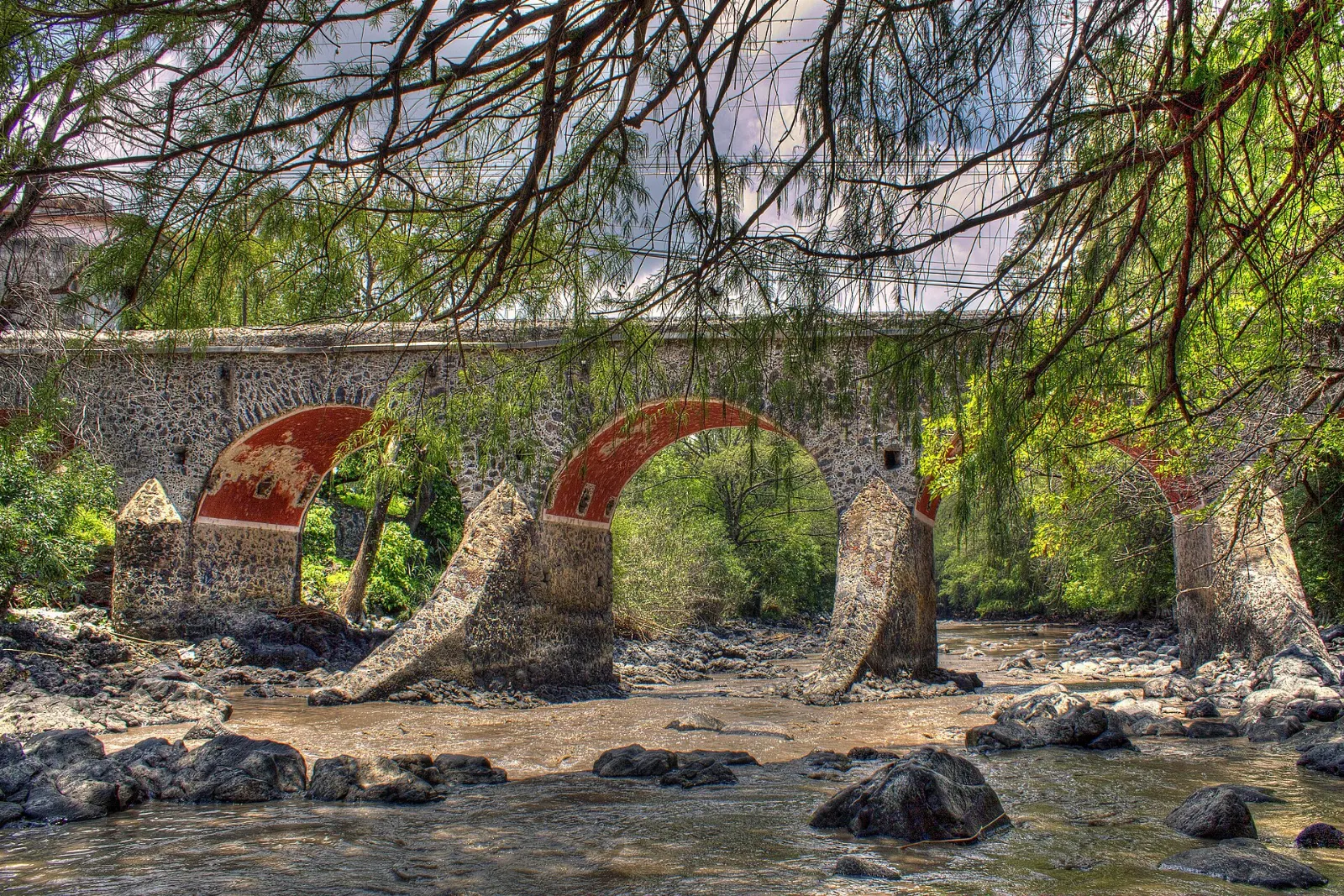
Stone arches of the Puente de Batanes in Salvatierra, Yuriria, Guanajuato

Puente de Batanes

The stone bridge was the scene of a battle during the Mexican War of Independence in 1813, between insurgent forces and royalist troops led by Agustín de Iturbide.

The Puente de Batanes was the scene of a battle during the Mexican War of Independence in 1813. Photo: Djraffa84, Wikimedia Commons, CC BY-SA 3.0

Volcanic crater in the Siete Luminarias area near Valle de Santiago, Yuriria, Guanajuato

Siete Luminarias, Valle de Santiago

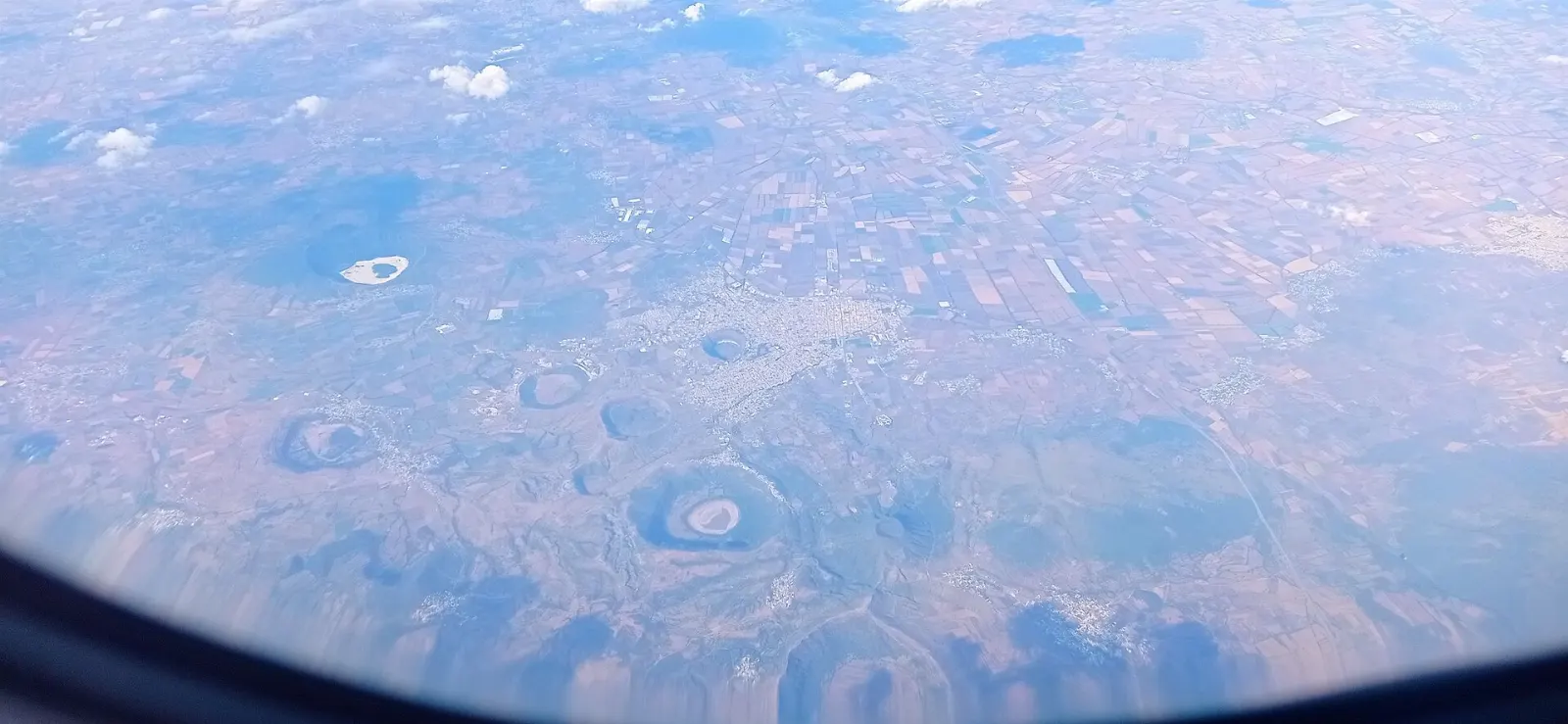
Valle de Santiago has more than thirty inactive volcanic craters, of which seven are protected as a national monument. Locals call them holes, or hoyos, and some became crater lakes.

The Siete Luminarias are seven protected volcanic craters near Valle de Santiago. Photo: Juan Carlos Fonseca Mata, Wikimedia Commons, CC BY-SA 4.0

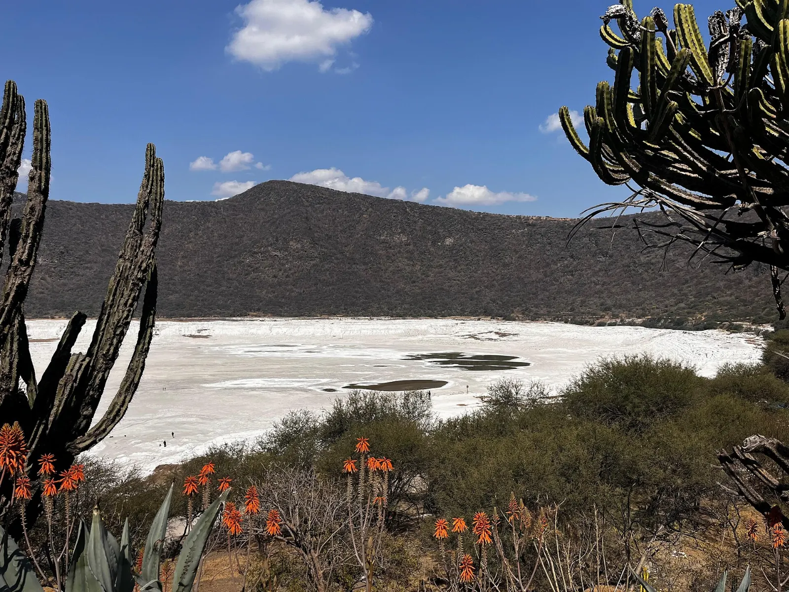
View into the La Alberca crater near Valle de Santiago, Yuriria, Guanajuato

La Alberca

One of the best known of the craters, La Alberca has been a recreation spot for local people.

La Alberca is one of the best-known craters of the Siete Luminarias. Photo: Isacdaavid, Wikimedia Commons, CC BY-SA 4.0

Crater of La Cíntora in the Valle de Santiago area, Yuriria, Guanajuato

La Cíntora and Rincón de Parangueo

These two craters contain cave paintings and evidence that people once lived inside them. They are for travellers who enjoy rougher outings and a sense of deep history.

La Cíntora and Rincón de Parangueo hold cave paintings and traces of early habitation. Photo: Juan Carlos Fonseca Mata, Wikimedia Commons, CC BY-SA 4.0

Food and local flavors

The food of the Bajío and Guanajuato appears on the tables of Yuriria. Carnitas, slow-cooked pork served with tortillas and salsa, are a staple of the region, and enchiladas mineras, dressed with red chile sauce, cheese and vegetables, are one of the best-known dishes of the state.

Look for family restaurants and stalls around the main square and the lakeshore, and ask your host which market has the best selection on the day. Fresh fruit and regional sweets are good picnic supplies for the lake and craters.

Popular dishes to try in Yuriria

Carnitas in Yuriria, Guanajuato
Carnitas Carnitas, slow-cooked pork served with tortillas and salsa, are a staple of the region, and enchiladas mineras, dressed with red chile sauce, cheese and vegetables, are one of…Photo: Tomascastelazo, Wikimedia Commons, CC BY-SA 4.0
Enchiladas mineras in Yuriria, Guanajuato
Enchiladas mineras Carnitas, slow-cooked pork served with tortillas and salsa, are a staple of the region, and enchiladas mineras, dressed with red chile sauce, cheese and vegetables, are one of…Photo: Martha Silva, Wikimedia Commons, CC BY-SA 2.0
Nopales in Yuriria, Guanajuato
Nopales Nopales, the paddles of the prickly pear cactus, grow in this part of Guanajuato and are served grilled, in salads or with eggs.Photo: Eric Polk, Wikimedia Commons, CC BY-SA 4.0

Where to stay

Yuriria is small, so lodging is limited and simple.

Valle de Santiago is a larger town with more choice and is the right base if you plan to spend a day among the Siete Luminarias craters.

Salvatierra suits visitors drawn to heritage architecture and has the status of a Pueblo Mágico.

Moroleón lies just south of Yuriria, in the same urban area as Uriangato, and offers a broader choice of services if you need them.

Where to stay in Yuriria

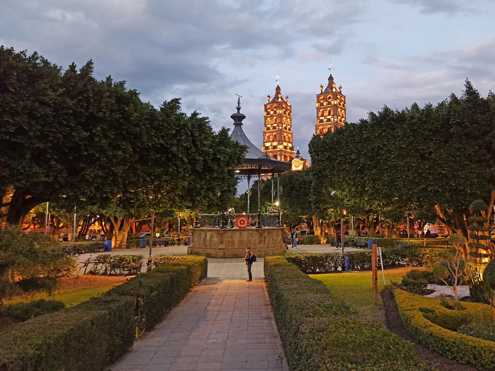
Centro Histórico, Yuriria, Guanajuato
Centro Histórico The Centro Histórico puts you within walking distance of the monastery, the church and the main square, and it suits travellers who want a quiet, local base.Photo: Jose María Ligero Loarte, Wikimedia Commons, CC BY-SA 4.0
Valle de Santiago, Yuriria, Guanajuato
Valle de Santiago Valle de Santiago is a larger town with more choice and is the right base if you plan to spend a day among the Siete Luminarias craters.Photo: Lynx Burgos, Wikimedia Commons, CC BY-SA 3.0
Salvatierra, Yuriria, Guanajuato
Salvatierra Salvatierra suits visitors drawn to heritage architecture and has the status of a Pueblo Mágico.Photo: Juan Carlos Fonseca Mata, Wikimedia Commons, CC BY-SA 4.0
Moroleón, Yuriria, Guanajuato
Moroleón Moroleón lies just south of Yuriria, in the same urban area as Uriangato, and offers a broader choice of services if you need them.Photo: Darkside981, Wikimedia Commons, CC BY 4.0

Best time to visit

Winter and early spring bring mild days, dry weather and the migratory birds that make the lake special. Summer is the rainy season in Guanajuato, so expect afternoon storms and greener fields, and the lake level responds to wet and dry periods.

Plan around local festivals and holiday weekends, when the town fills with visitors and the church and square are busy.

Getting there and getting around

Yuriria lies in the Bajío lowlands of southern Guanajuato, next to the Michoacán border and close to Uriangato, Moroleón, Valle de Santiago and Salvatierra. The main airport for the state is Bajío International Airport near León, and travellers can also use airports in neighbouring states.

Most visitors drive, which makes it easy to combine Yuriria with Salvatierra and the craters. Regional buses connect the towns, though schedules vary, so check at the terminal. Taxis are available locally, and walking is easy in the historic centre.

A suggested itinerary

First day

Visit the monastery in the morning and the Templo de la Preciosa Sangre de Cristo after.

Second day

Drive to Salvatierra for the historic centre and the Puente de Batanes, then enjoy a long lunch.

Third day

Head to Valle de Santiago for the Siete Luminarias, with La Alberca and La Cíntora as highlights.

Practical tips

  • Check your government's current travel advisory before you go.
  • Carry cash, since small shops and market stalls often do not accept cards.
  • Bring binoculars, a hat and water for the lake and crater visits.
  • Confirm opening days for the monastery and churches before you set out.
  • Dress modestly in churches and avoid entering during services.
YuririaWISERMAP PLACEYuriria: photos, reviews & things to doSee traveler photos and reviews, or share your own →

More places to visit

All travel guides →