Thunder Bay sits at the northwestern tip of Lake Superior, in the shadow of the Sleeping Giant, a long peninsula of cliffs that looks like a reclining figure from the city. It is a practical stop on the Trans-Canada Highway and a better destination than many travellers expect, with fur trade history, big waterfalls and canyons, Finnish heritage and some of the best hiking in Ontario.
AT A GLANCE
Best time
Summer and early autumn are best for hiking and drives, with winter suited to skiing and snow sports.
How long
Allow three days to cover the city and the day trips.
Getting there
Fly into Thunder Bay International Airport or drive Highway 11 or 17.
Why visit Thunder Bay
Thunder Bay takes its name from the huge bay at the head of Lake Superior. It grew from two rival towns, Fort William and Port Arthur, which merged in 1970, and the old names still describe the south and north ends of the city.
The reasons to come are mostly outdoors. Within an hour you can reach a 40-metre waterfall, a 100-metre-deep canyon and a provincial park with more than 100 kilometres of trails.
The best places to visit in the city
The Sleeping Giant viewpoint
The Sleeping Giant is the city’s signature view, a long peninsula in Lake Superior whose cliffs form the outline of a reclining figure. The clearest views are from the harbour and lookouts around town.
Marina Park and the north end
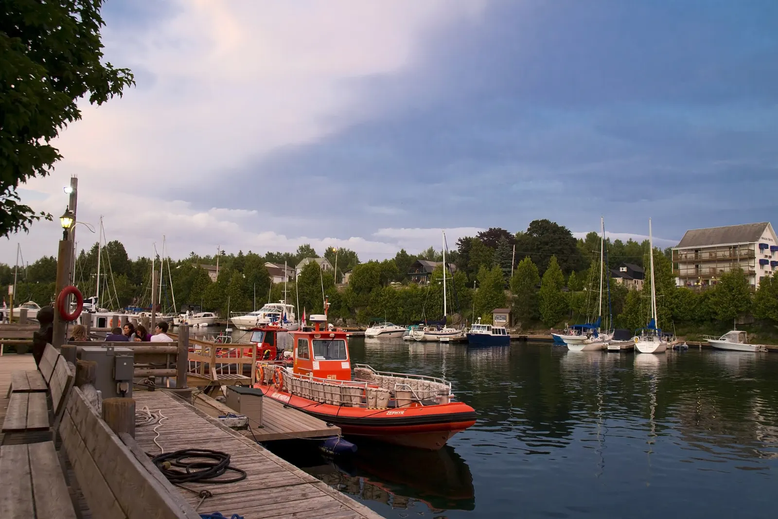
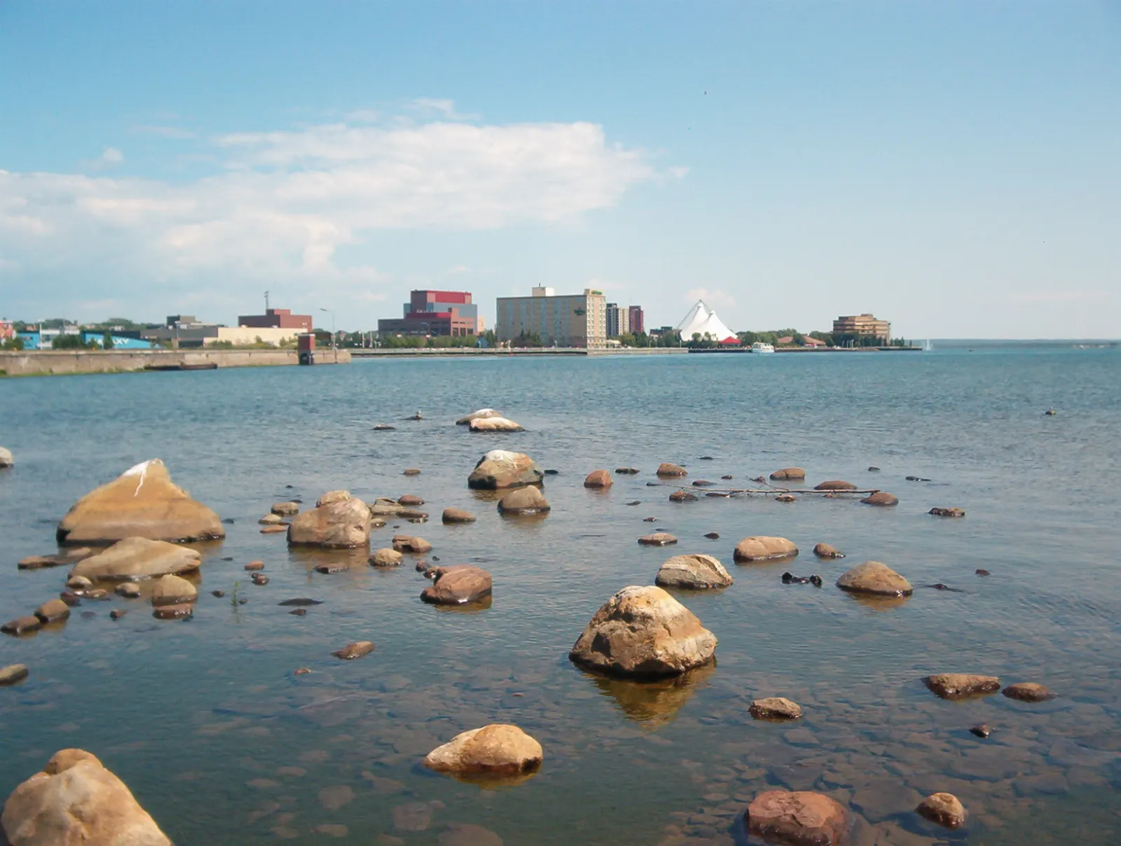
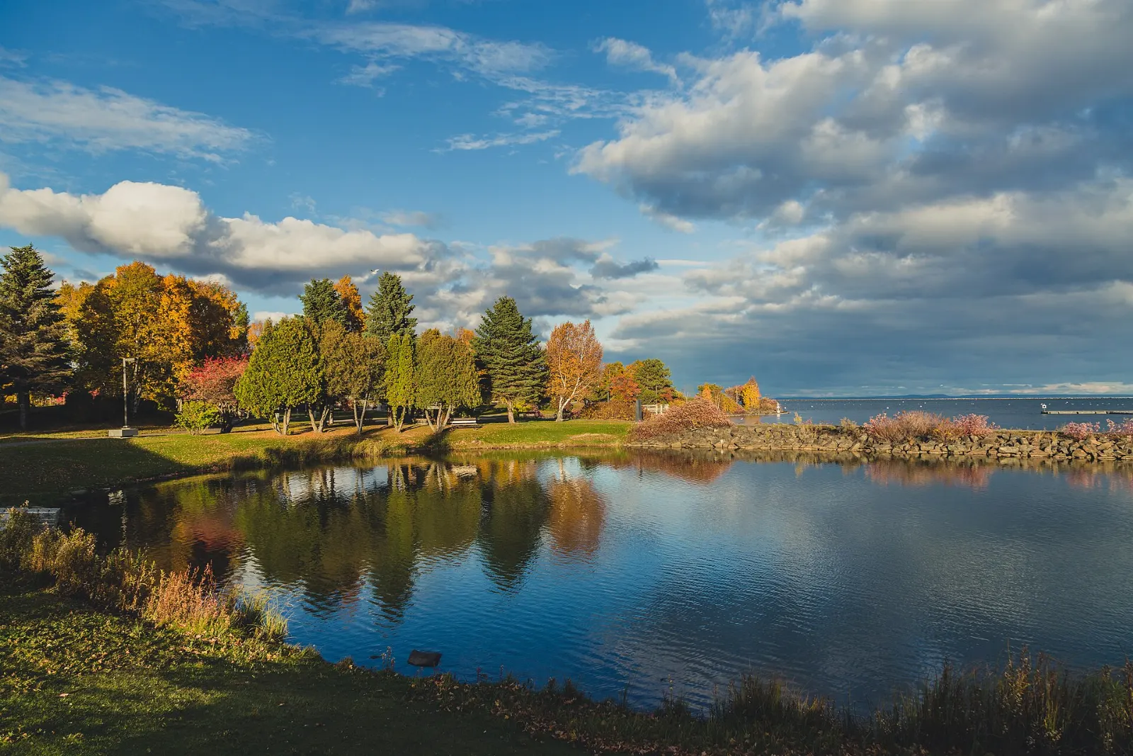
The Port Arthur waterfront is the part of the city being developed as an entertainment district, with Marina Park at its centre. It is an easy place for a walk beside the harbour and hosts summer events.
Fort William Historical Park
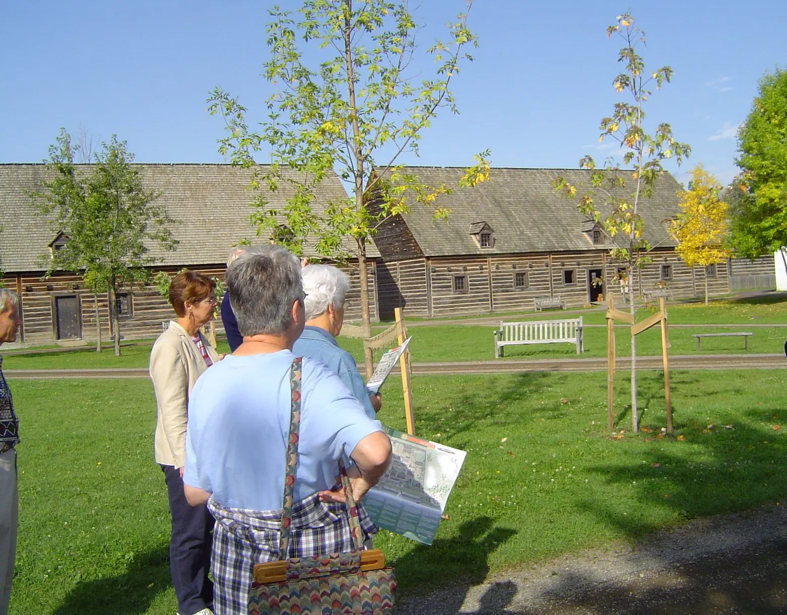
This living history site recreates the North West Company fur trade post as it was in the early nineteenth century.
Terry Fox Monument and Lookout
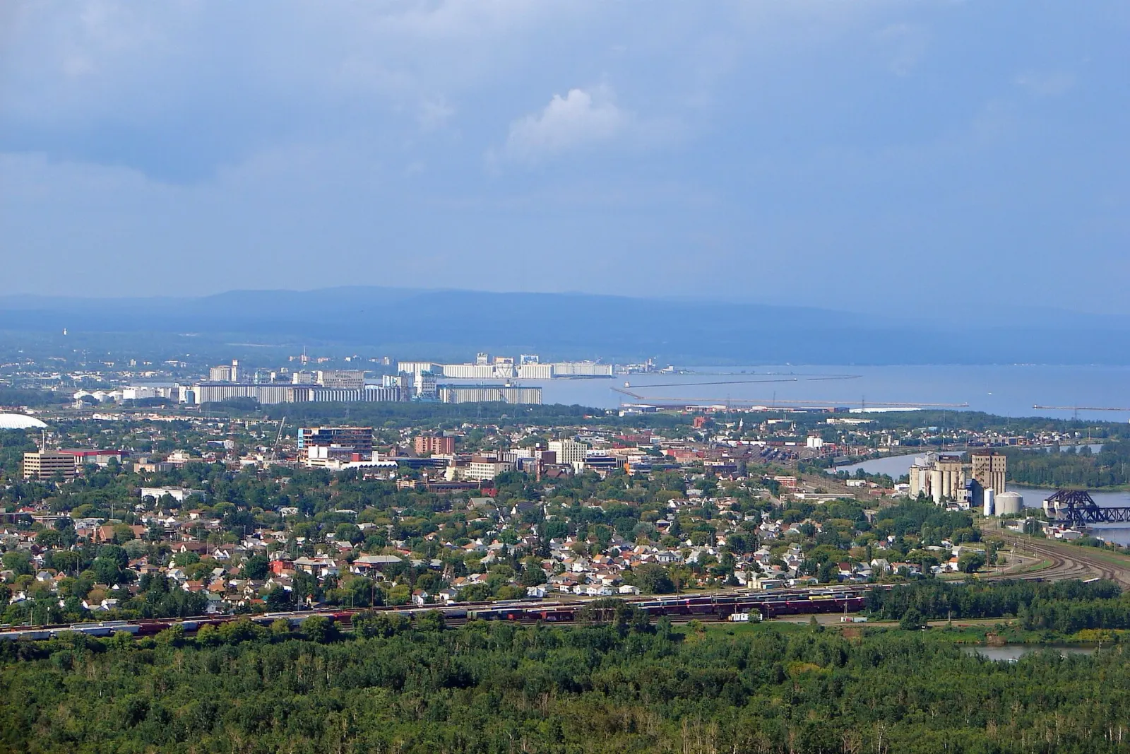
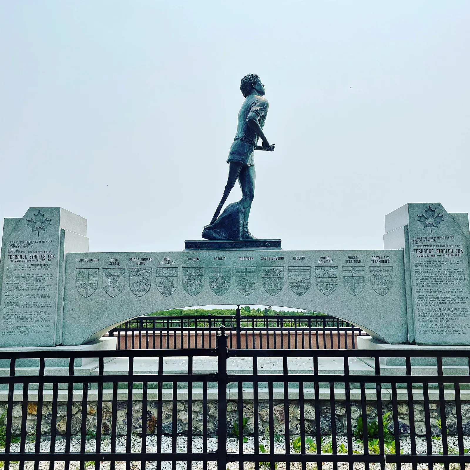
Beside the Trans-Canada Highway near the city, this memorial honours Terry Fox, whose Marathon of Hope ended near Thunder Bay when his cancer spread. A statue stands at a scenic lookout with a wide view over the city and the bay.
Thunder Bay Museum and Art Gallery
For a rainy-day option, the Thunder Bay Museum has three floors of local history, while the Thunder Bay Art Gallery focuses on contemporary Indigenous and Northwestern Ontario artists. Check each website for current opening days before you go.
Waterfalls, canyons and provincial parks
Kakabeka Falls
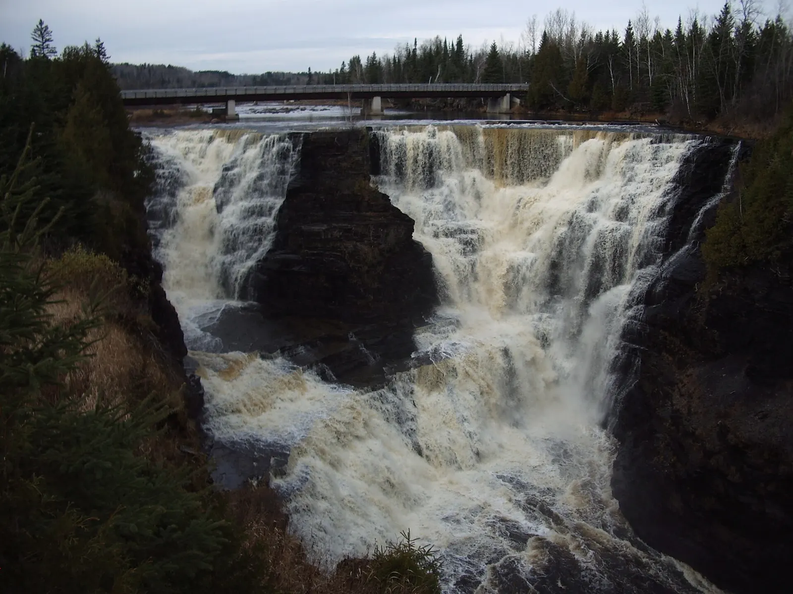
About 30 kilometres west of the city, Kakabeka Falls drops roughly 40 metres on the Kaministiquia River and is nicknamed the Niagara of the North. A short boardwalk with viewing platforms on both sides is wheelchair accessible.
Ouimet Canyon
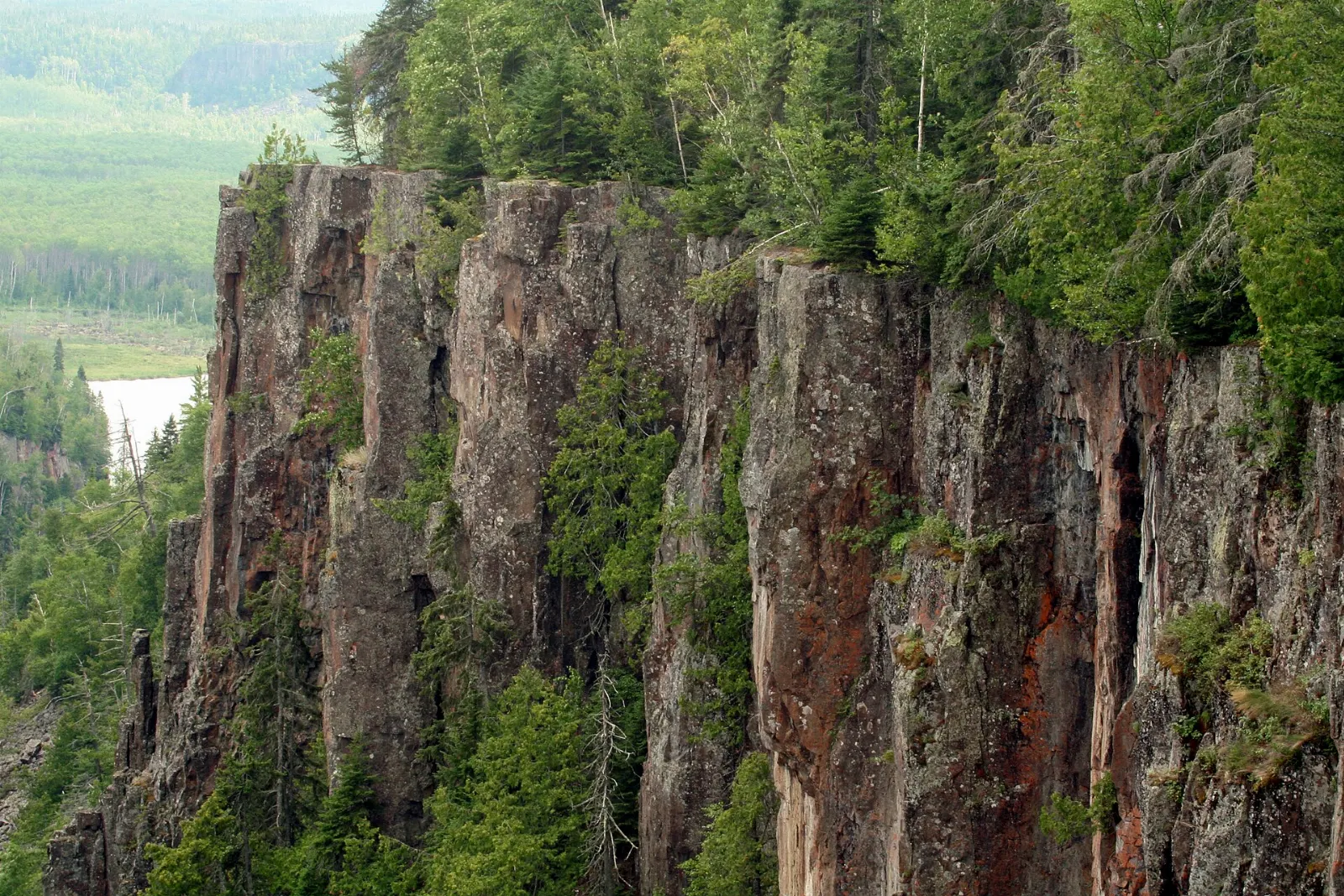
Northeast of the city, this canyon is about 100 metres deep, 150 metres wide and two kilometres long, with boardwalk viewing platforms. Rare arctic plants grow in the area.
Sleeping Giant Provincial Park
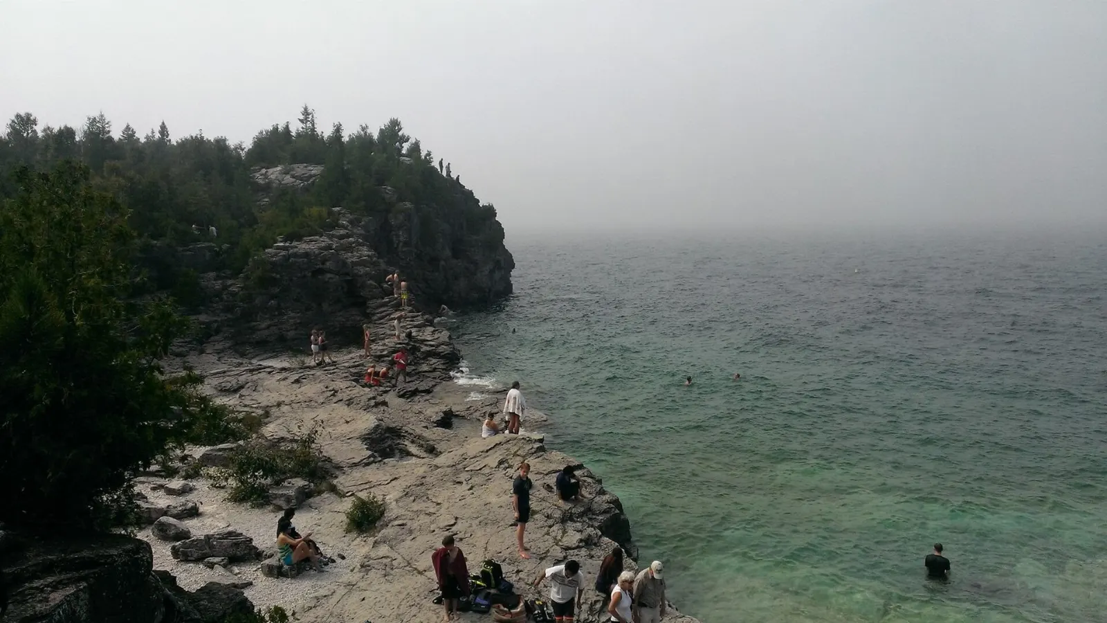
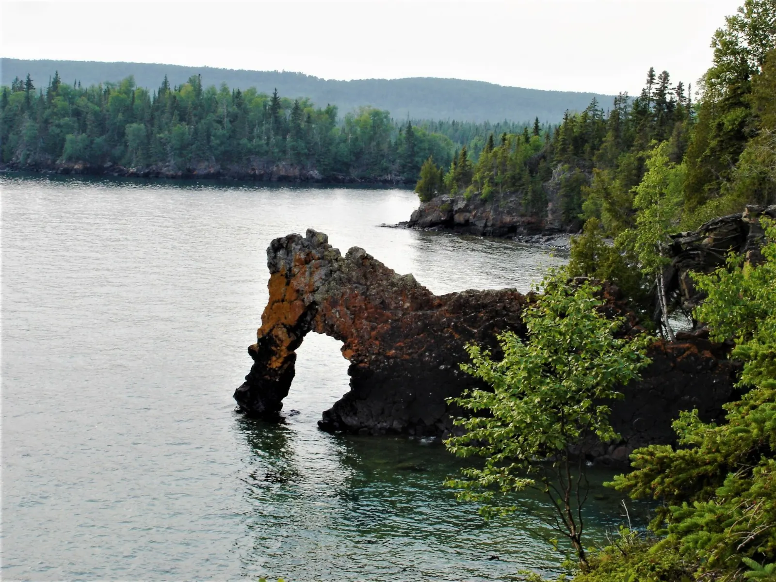
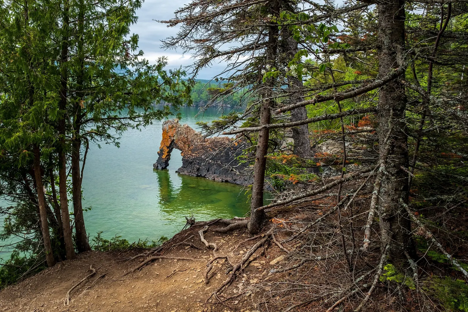
The park covers most of the Sibley Peninsula and has more than 100 kilometres of trails. The Top of the Giant hike is long and challenging but rewards with sweeping views of Lake Superior, while shorter walks suit casual visitors.
Silver Islet
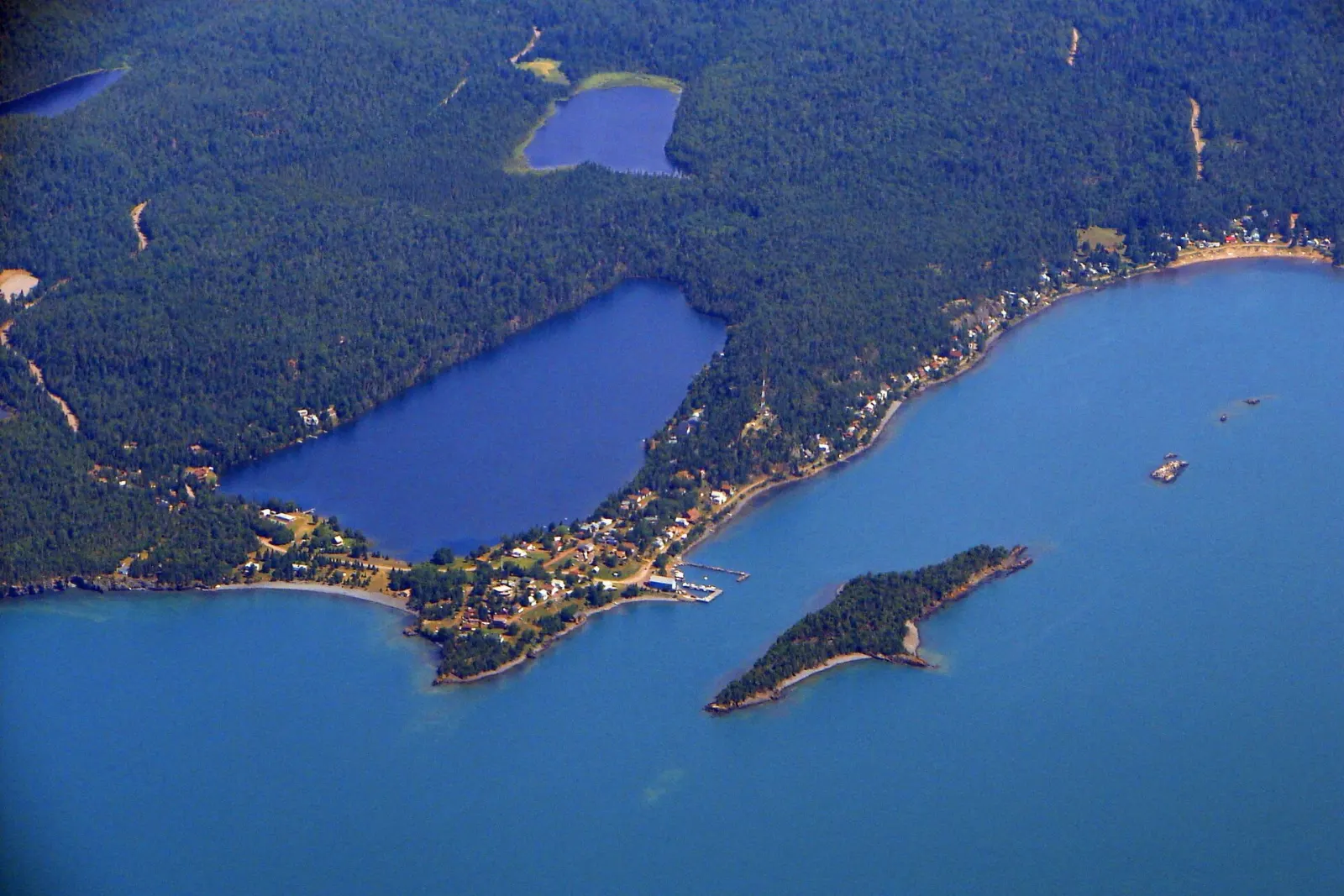
At the southern tip of the peninsula, Silver Islet is a small, seasonal community built on a former silver mining site that began in the 1840s. Many miners’ houses are now summer cottages.
Eagle Canyon
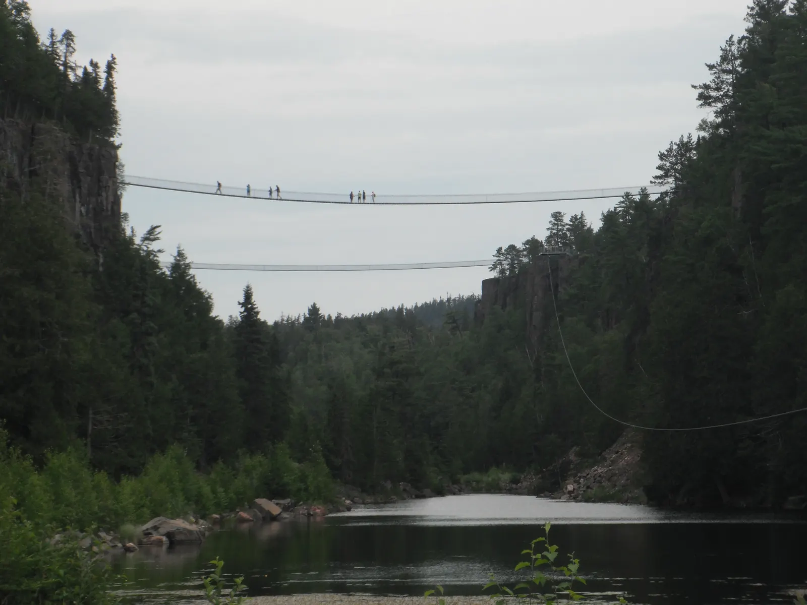
Near Dorion, this privately run attraction has two suspension footbridges over the canyon and a long zip line. It is open seasonally, so check hours before you drive.
 Planning a trip to Thunder Bay?Compare hotels, flights and vacation rentals for Thunder Bay on Expedia.Book now
Food and local flavors
Thunder Bay’s best-known treat is the Persian, a deep-fried, cinnamon-bun-style roll topped with sweet pink icing. The roll is said to have started at a Port Arthur bakery, and locals still argue over whether the icing is raspberry or strawberry.
The city’s Finnish heritage means bakeries sell pulla, a sweet Finnish bread, alongside coffee. Because the city sits on Lake Superior, lake whitefish is a good seafood choice when you find it on a menu.
Popular dishes to try in Thunder Bay


Where to stay
Thunder Bay is spread out, so choose a base by what you plan to do.
Fort William, the south end, has the business district and the closest access to Fort William Historical Park and the Kaministiquia River, so it works for families and for travellers exploring the history sites.
Intercity, between the two, is the big-box shopping district with chain hotels, easy parking and quick road access, and it suits road-trippers. A couple of hotels near the airport run shuttles.
Where to stay in Thunder Bay


Best time to visit
Summer is the easiest season. Days are mild, with cooler lakeside weather than the inland towns, the trails are open, and the canyons and falls are at their best.
Autumn brings colour and fewer crowds, though nights turn cold quickly. Winters are cold and dry and suit cross-country skiing, and the Sleeping Giant Loppet is a March tradition. Spring is slow to arrive.
Getting there and getting around
Thunder Bay International Airport is about 15 minutes west of downtown, with scheduled flights from Toronto, Winnipeg, Montreal, Ottawa and Sault Ste. Marie. Passenger rail does not serve the city.
Intercity coaches connect with Northern Ontario and Winnipeg. Inside the city, Thunder Bay is not very walkable because it grew from two separate towns, so buses are the best way between the north and south ends, with taxis as backup. For Kakabeka Falls, Ouimet Canyon and Sleeping Giant, you will want a car.
A suggested itinerary
First day
Spend the morning at Fort William Historical Park.
Second day
Drive west to Kakabeka Falls in the morning, then return for lunch. In the afternoon, visit the museum or art gallery and enjoy an evening sauna or a dinner downtown.
Third day
Head east to Ouimet Canyon and Eagle Canyon, then continue to Sleeping Giant Provincial Park for a hike. If time allows, drive on to Silver Islet before returning for the evening.
Practical tips
- Rent a car, since the best sights are spread across the region.
- Pack layers and rain gear, because Lake Superior can cool the weather quickly.
- Stay on marked trails and boardwalks at the canyons and falls.
- Check Ontario Parks for day-use rules and trail conditions before visiting the parks.
- Fuel up and carry water before heading out on the highway, as services are sparse.