This guide walks you through the formations, trails, canyons and neighborhoods worth your time, along with practical advice on seasons, the free trailhead shuttle, the Red Rock Pass and how to plan your days so you spend more time on the trail and less time in traffic.
At a glance Sedona
Best timeMarch to May and late September to November for mild hiking weather and fall color in Oak Creek Canyon.
How longThree to four days covers the main formations, Oak Creek Canyon and a few longer hikes.
Getting thereFly into Phoenix Sky Harbor (about two hours by car) or Flagstaff (under an hour), then drive.
Ad
Why visit Sedona
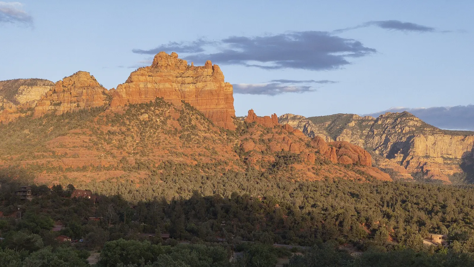
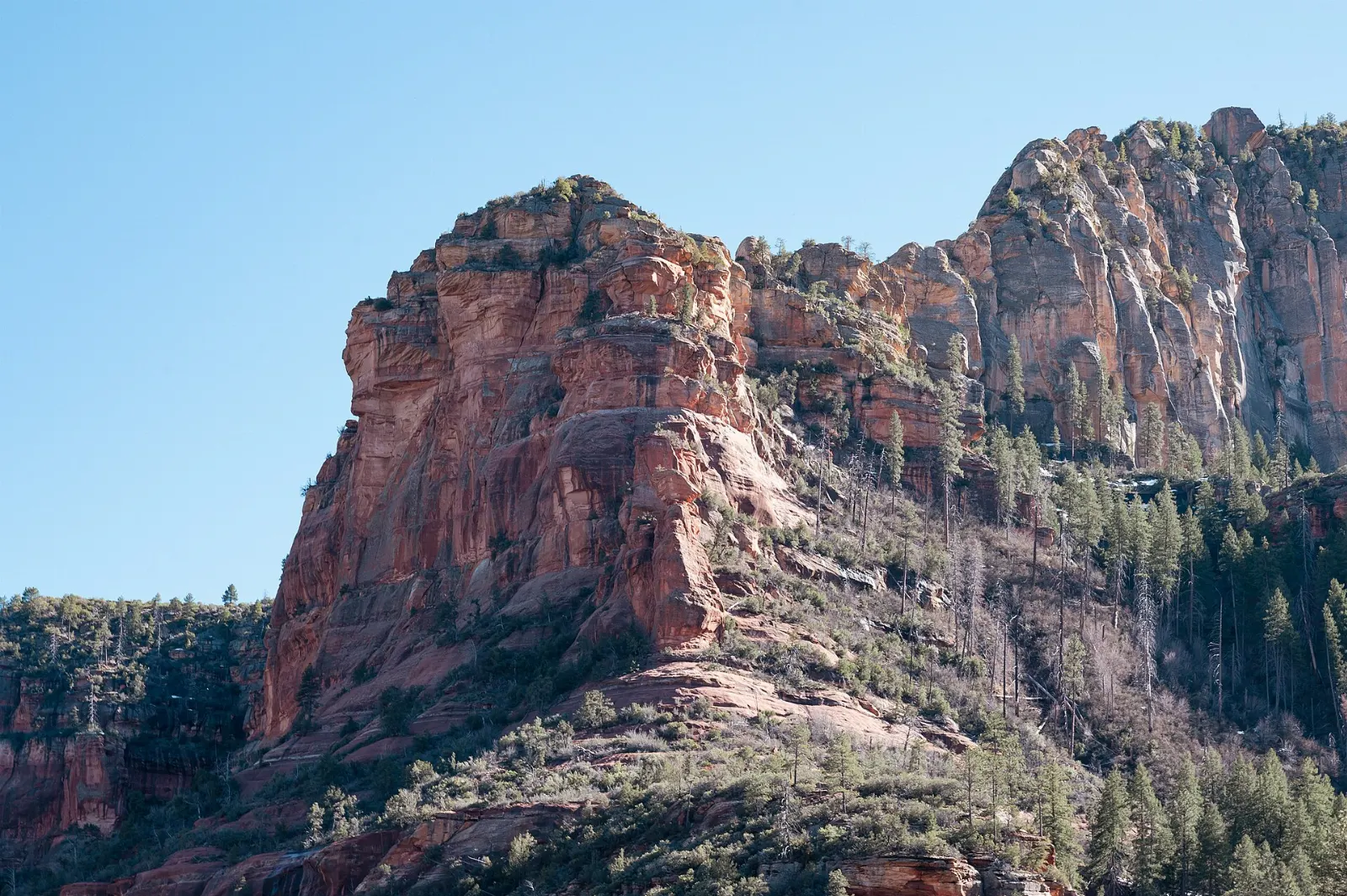
Few places in the United States put this much scenery this close to a town. The red color comes from iron oxide in layers of sandstone, chiefly the Schnebly Hill Formation, deposited hundreds of millions of years ago and later carved by wind and water into the shapes you see today.
Sedona works for very different kinds of trips. Hikers come for hundreds of miles of trail in the surrounding Coconino National Forest.
The red rock icons along State Route 179
The southern approach to town, State Route 179, is designated the Red Rock Scenic Byway. It passes several of Sedona's most famous formations, and you can easily spend a full day exploring just this corridor.
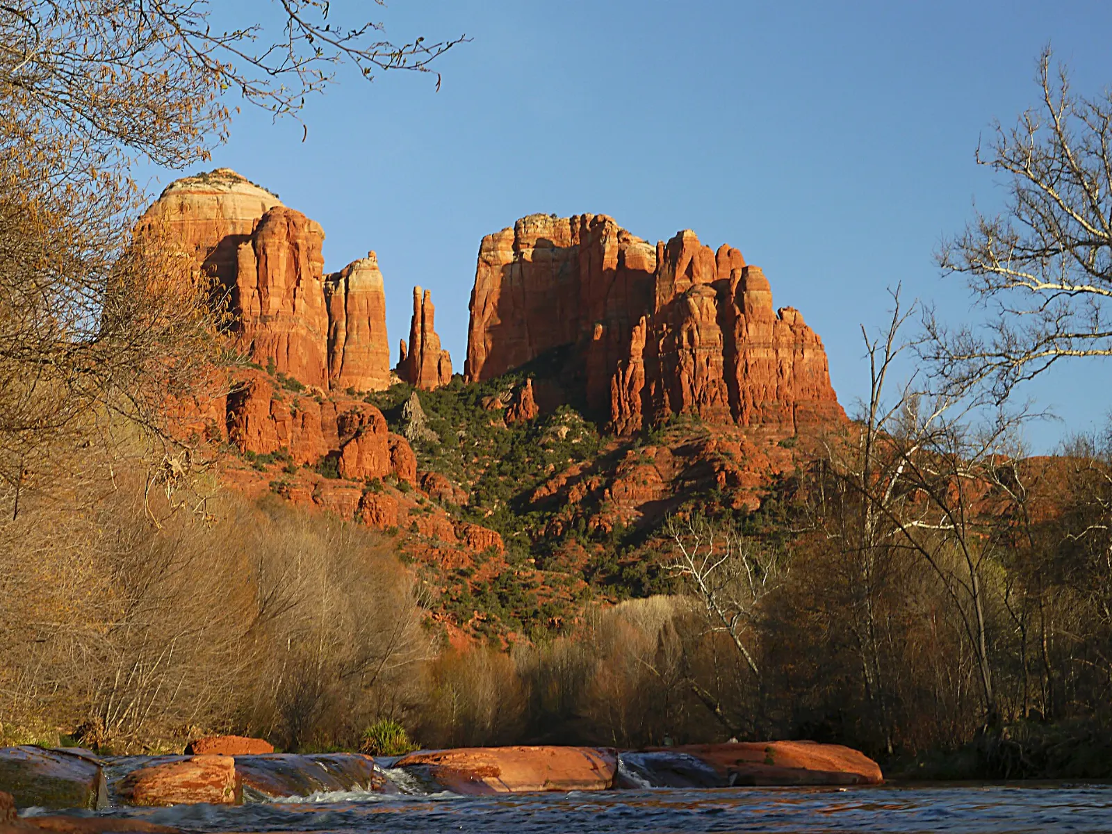
Cathedral Rock
Cathedral Rock is the formation most people picture when they think of Sedona: a cluster of tall spires joined by a saddle. The Cathedral Rock Trail climbs steeply over slickrock to that saddle, gaining about 600 feet in under a mile. Expect hands-on scrambling near the top and allow one and a half to two hours round trip.
Bell Rock and Courthouse Butte
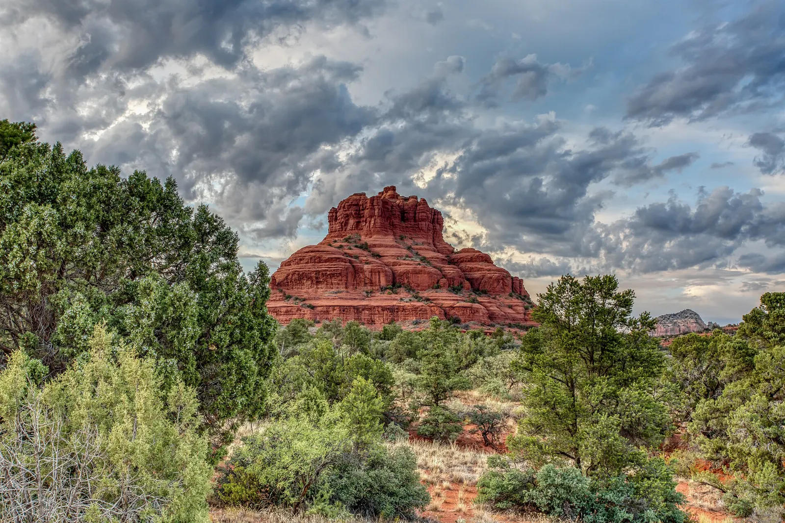
Bell Rock rises right beside State Route 179 at the northern edge of the Village of Oak Creek, and its bell shape is unmistakable. The Bell Rock Pathway is a wide, mostly level trail that circles the base and links to the Courthouse Butte Loop, a roughly four-mile walk around both formations.
Bell Rock stands beside State Route 179 on the southern approach to Sedona. Photo: https://sedona.org/, Wikimedia Commons, CC BY-SA 4.0
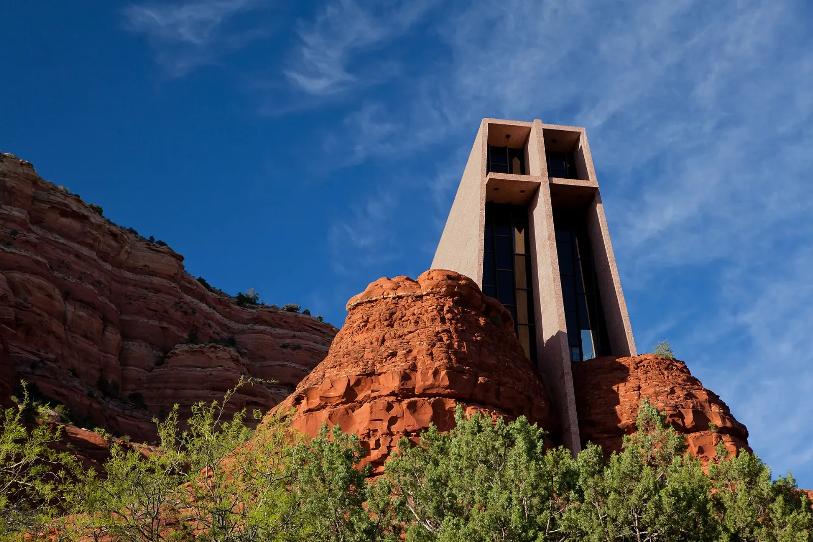
Chapel of the Holy Cross
Completed in 1956 and designed by sculptor Marguerite Brunswig Staude, the Chapel of the Holy Cross is built straight into a red rock outcrop south of town, with a giant cross forming its front wall. Inside, the small sanctuary is quiet and simple, and a wide window frames the valley.
The Chapel of the Holy Cross, completed in 1956, is built directly into the red rock buttes south of town. Photo: Matthew P. Del Buono, Wikimedia Commons, CC BY-SA 3.0
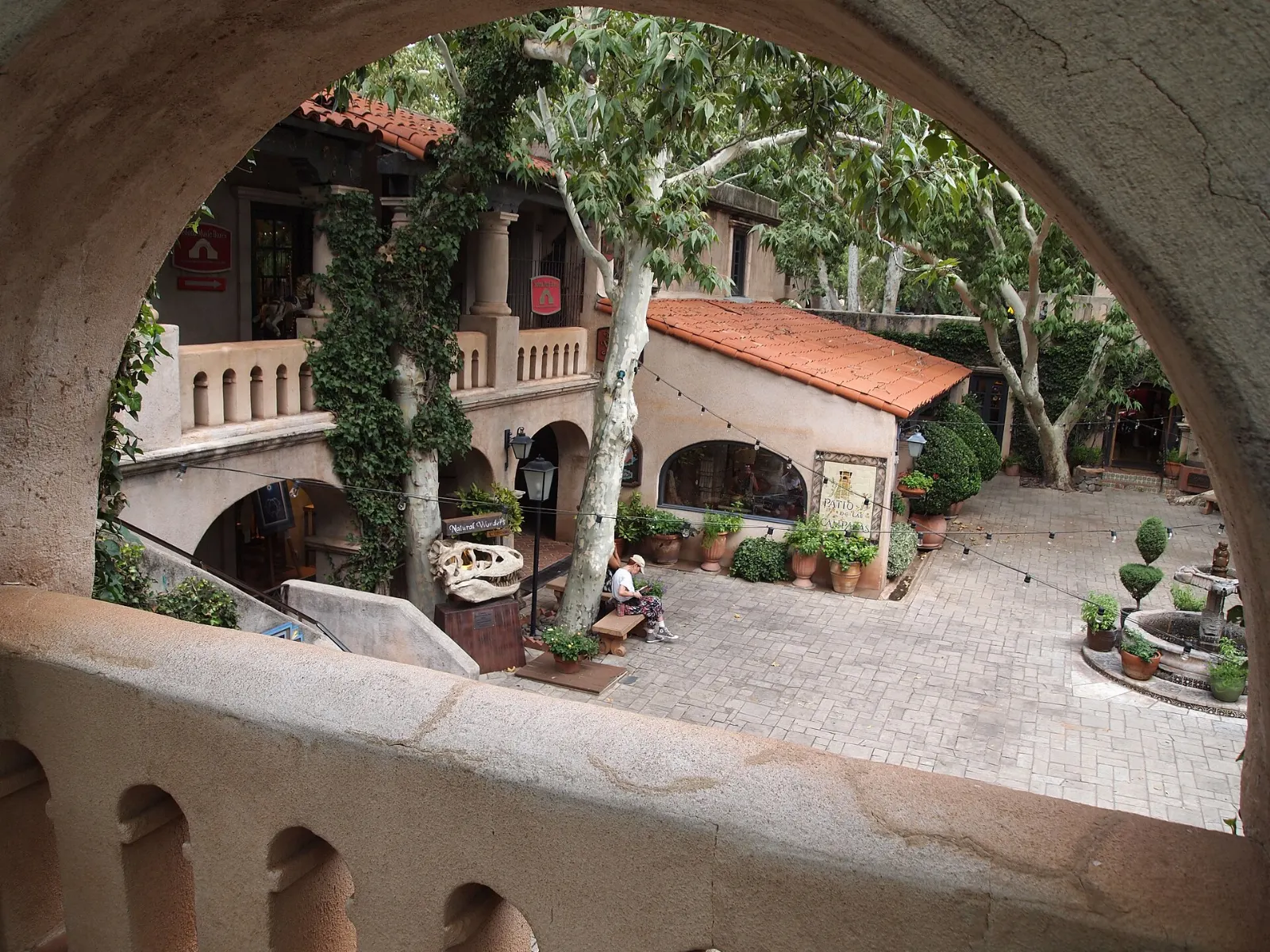
Tlaquepaque Arts and Shopping Village
Just before you reach Uptown, Tlaquepaque spreads beneath sycamore trees beside Oak Creek. Built in the 1970s and modeled on a traditional Mexican village, it is a maze of stone courtyards, arched passageways, fountains and flowered balconies filled with galleries, craft studios and cafes. Allow one to two hours to wander.
Tlaquepaque Arts and Shopping Village was modeled on a traditional Mexican village and sits beside Oak Creek. Photo: Norton Gusky, Wikimedia Commons, CC BY 2.0
Ad
West Sedona, the canyons and Devil's Bridge
West of the Y roundabout, State Route 89A runs through West Sedona, the town's everyday commercial strip, and gives access to a set of side canyons and backcountry trails in the Red Rock Secret Mountain Wilderness.
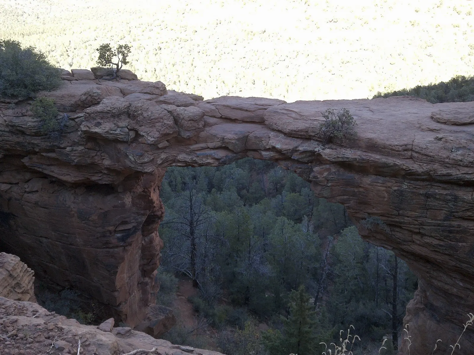
Devil's Bridge
Devil's Bridge is the largest natural sandstone arch in the Sedona area, and walking out onto its span is a rite of passage. From the Dry Creek Vista trailhead the round trip is about four miles with a short, steep climb on rock steps at the end.
Devil's Bridge is the largest natural sandstone arch in the Sedona area. Photo: davidpinter, Wikimedia Commons, CC BY 3.0
Airport Mesa
Airport Mesa rises between West Sedona and Uptown and offers one of the easiest big views in town. A short climb from the small lot on Airport Road leads to an overlook that is popular at sunset, and the Airport Loop Trail circles the mesa for about three and a half miles with continuous views of Thunder Mountain, Coffee Pot Rock and Cathedral Rock. Allow 30 minutes for the overlook or two hours for the loop.
Airport Mesa offers wide views across Sedona and its surrounding buttes. Photo: Nicholas Hartmann, Wikimedia Commons, CC BY-SA 4.0
Boynton Canyon and Soldier Pass
Boynton Canyon is a box canyon flanked by tall red walls and shaded by pines and cypress as you go deeper. The full trail is about six miles round trip, and a popular side trail leads to the Subway Cave, a curved alcove that draws many photographers.
Oak Creek Canyon and Uptown
North of Uptown, State Route 89A climbs through Oak Creek Canyon toward Flagstaff, a narrow gorge lined with sycamores, maples and pines that feels a world away from the open red rock basin below.
Slide Rock State Park
About seven miles north of Uptown, Slide Rock State Park is built around a natural water chute in the slippery sandstone bed of Oak Creek. In summer, families slide down the channel and swim in the pools below, and the park also preserves a historic apple orchard and homestead.
Slide Rock State Park is known for its natural water slide carved into the bed of Oak Creek. Photo: mbaylor, Wikimedia Commons, CC BY 2.0
West Fork Trail
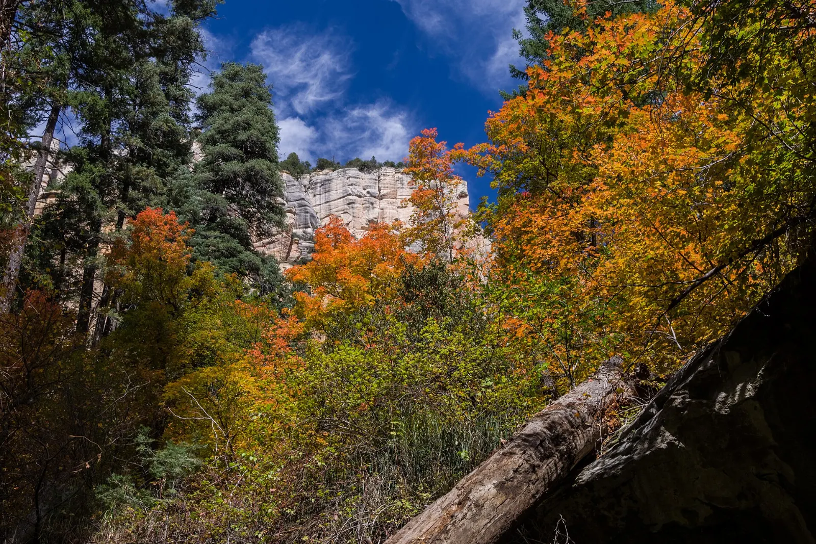
The West Fork of Oak Creek is one of the most loved trails in Arizona. It follows a side canyon upstream between sheer walls, crossing the creek many times on stepping stones.
The West Fork of Oak Creek is a shaded canyon trail famous for its fall color. Photo: Coconino National Forest, Wikimedia Commons, CC0
Red Rock Crossing and Crescent Moon Picnic Site
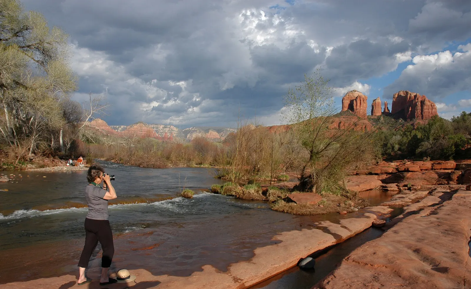
West of town, Oak Creek flows past the foot of Cathedral Rock at Red Rock Crossing, inside the Crescent Moon Picnic Site. The view of the formation reflected in the creek is one of the most famous in Arizona.
Uptown Sedona is the walkable tourist core along State Route 89A, lined with galleries, outdoor outfitters, jeep tour offices, souvenir shops and restaurants with patios facing the cliffs. Allow a couple of hours, more if you book a jeep tour into the backcountry, which is the easiest way to reach rough roads such as Broken Arrow and Schnebly Hill without risking your own car.
Uptown Sedona lines State Route 89A beneath the red cliffs at the mouth of Oak Creek Canyon. Photo: TwinsofSedona, Wikimedia Commons, CC0
Ad
Food and local flavors
Sedona's food scene reflects its Southwestern setting. Look for dishes built around green and red chiles, blue corn, prickly pear, mesquite and slow cooked meats, along with plenty of Mexican and Sonoran style cooking.
Uptown and Tlaquepaque have the highest concentration of restaurants with red rock views, and patio tables at sunset are in high demand, so reserve ahead in busy seasons.
Popular dishes to try in Sedona
Prickly pear Prickly pear shows up in everything from margaritas and lemonade to syrups and candy, and it makes an easy edible souvenir.Photo: Tomás Castelazo, Wikimedia Commons, CC BY-SA 2.5Blue corn Look for dishes built around green and red chiles, blue corn, prickly pear, mesquite and slow cooked meats, along with plenty of Mexican and Sonoran style cooking.Photo: Fratticidio, Wikimedia Commons, CC BY 4.0Breakfast burritos West Sedona has more casual, local spots for breakfast burritos, tacos and coffee before an early hike.Photo: Daderot, Wikimedia Commons, CC0Margaritas Prickly pear shows up in everything from margaritas and lemonade to syrups and candy, and it makes an easy edible souvenir.Photo: Jon Sullivan, Wikimedia Commons, Public domain
Where to stay
Uptown Sedona suits first time visitors who want to walk to shops and restaurants and be close to Oak Creek Canyon.
West Sedona has a broad mix of mid range options and vacation rentals, everyday groceries and quick access to Boynton Canyon, Soldier Pass, Airport Mesa and the Dry Creek area.
The Village of Oak Creek, about seven miles south along State Route 179, sits at the foot of Bell Rock and Courthouse Butte.
Oak Creek Canyon has creekside cabins and lodges in a shaded, cooler setting that suits couples and anyone wanting a forest retreat.
Where to stay in Sedona
Oak Creek Canyon Where to stayUptown Sedona suits first time visitors who want to walk to shops and restaurants and be close to Oak Creek Canyon.Photo: W. Bulach, Wikimedia Commons, CC BY-SA 4.0Boynton Canyon West Sedona has a broad mix of mid range options and vacation rentals, everyday groceries and quick access to Boynton Canyon, Soldier Pass, Airport Mesa and the Dry Creek area.Photo: davidpinter, Wikimedia Commons, CC BY 3.0Dry Creek West Sedona has a broad mix of mid range options and vacation rentals, everyday groceries and quick access to Boynton Canyon, Soldier Pass, Airport Mesa and the Dry Creek area.Photo: Jeff Chabot chabotphoto, Wikimedia Commons, CC0Oak Creek Where to stayUptown Sedona suits first time visitors who want to walk to shops and restaurants and be close to Oak Creek Canyon.Photo: Marine 69-71, Wikimedia Commons, CC BY-SA 4.0
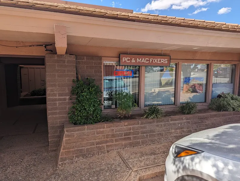
PC & MAC Fixers is a computer repair business serving Sedona, AZ. PC & MAC Fixers provides Apple and Windows computer repair, virus removal, tune-ups, and hardw...
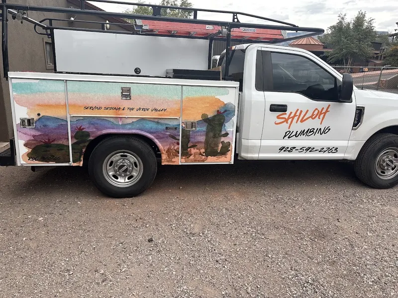
Shiloh Plumbing is a plumbing business serving Sedona, Verde Valley, Cottonwood, and Prescott. Shiloh Plumbing provides water heater replacement and plumbing se...
Sedona Jewelers is a jewelry business in Sedona, AZ, specializing in Ten Commandments bracelets and collections in silver, gold, tungsten carbide, and faith-the...
Renee Taylor Jewelry is a contemporary art and designer jewelry business serving Sedona, Arizona. It offers a curated selection of fine art, jewelry, watches, a...
Environmental Realists is a specialty gift and jewelry shop in Sedona, AZ, offering handcrafted leather, wood, jewelry, buckles, knives, timepieces, and home ac...