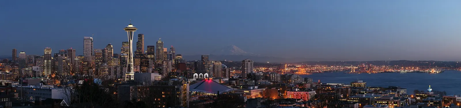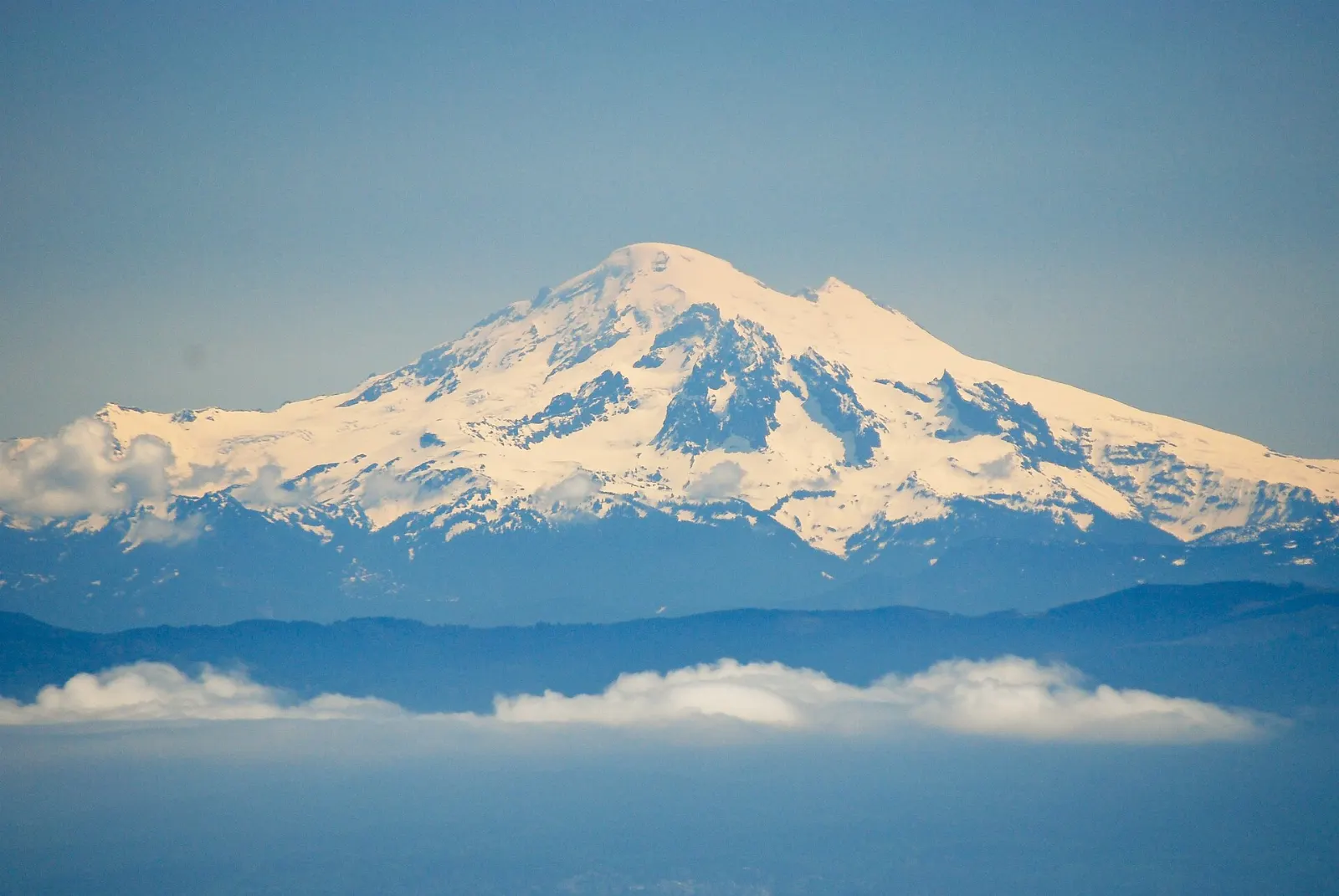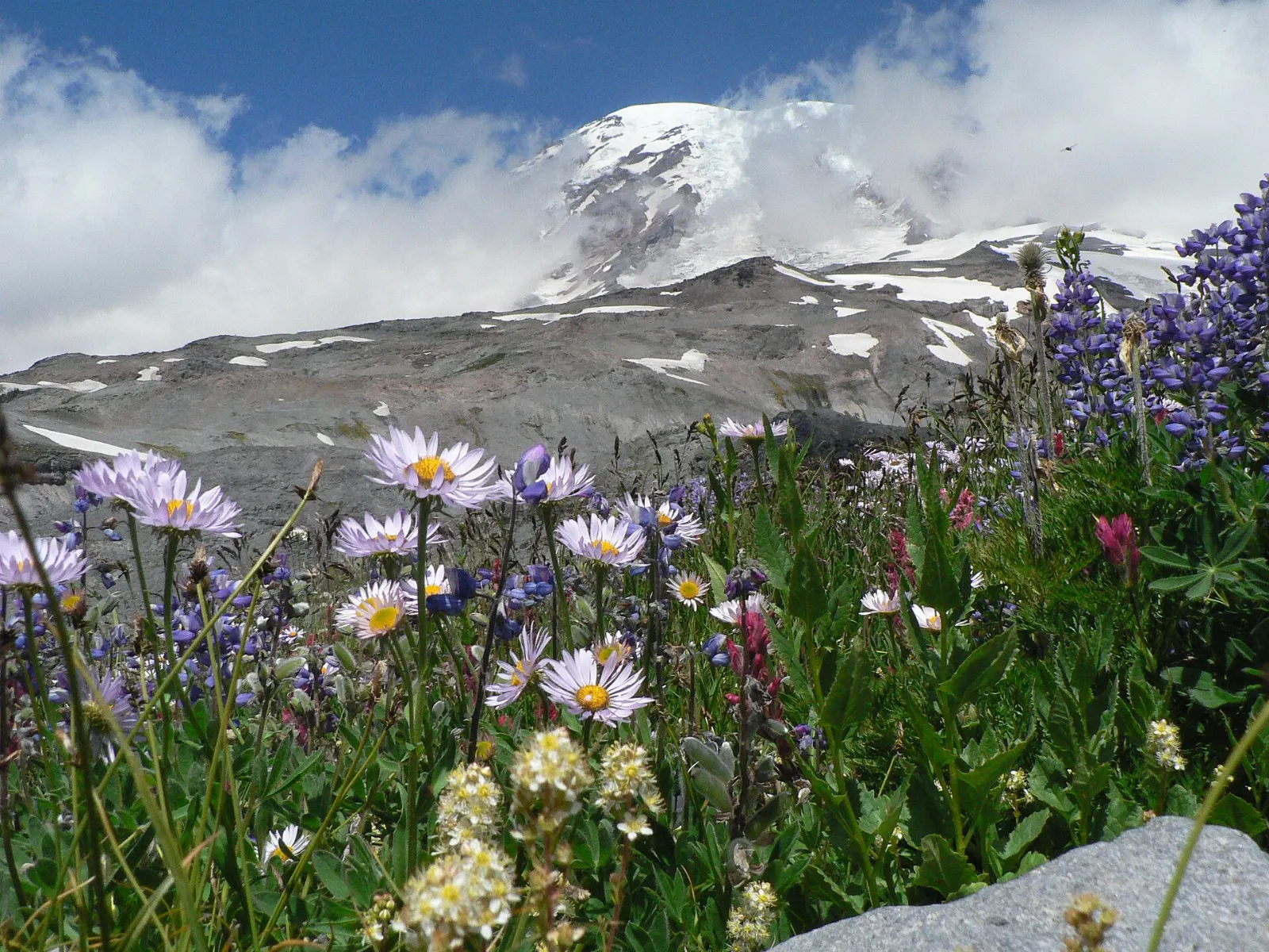
Rising more than 14,000 feet above the forests of western Washington, Mount Rainier is an active volcano and the most heavily glaciated peak in the contiguous United States.
AT A GLANCE
Best time
Mid-July through September, when high roads are open and wildflowers peak in late July and August.
How long
Two to three days to see Paradise and Sunrise and hike a few trails.
Getting there
Drive about two hours from Seattle to the Nisqually Entrance near Ashford, the main gateway town.
Why visit Mount Rainier National Park
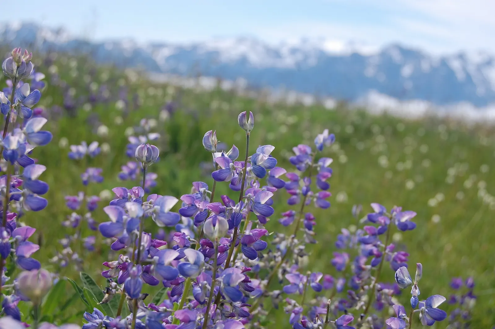
Few places let you get so close to a giant glaciated volcano so easily. Paved roads climb to Paradise and Sunrise, where short trails lead through meadows of lupine, paintbrush and avalanche lilies with the glaciers seemingly within reach.
The park is also a place of serious mountaineering, with climbers attempting the summit each summer, and long-distance hikers circling the mountain on the Wonderland Trail.
Paradise and the south side
The south side of the park, reached through the Nisqually Entrance near Ashford, is the most visited and the only area open by road year-round.
Paradise and the Skyline Trail
Paradise sits at about 5,400 feet on the south slope of the mountain and is famous for its wildflowers and its winter snowfall, which is among the heaviest measured anywhere.
Narada Falls
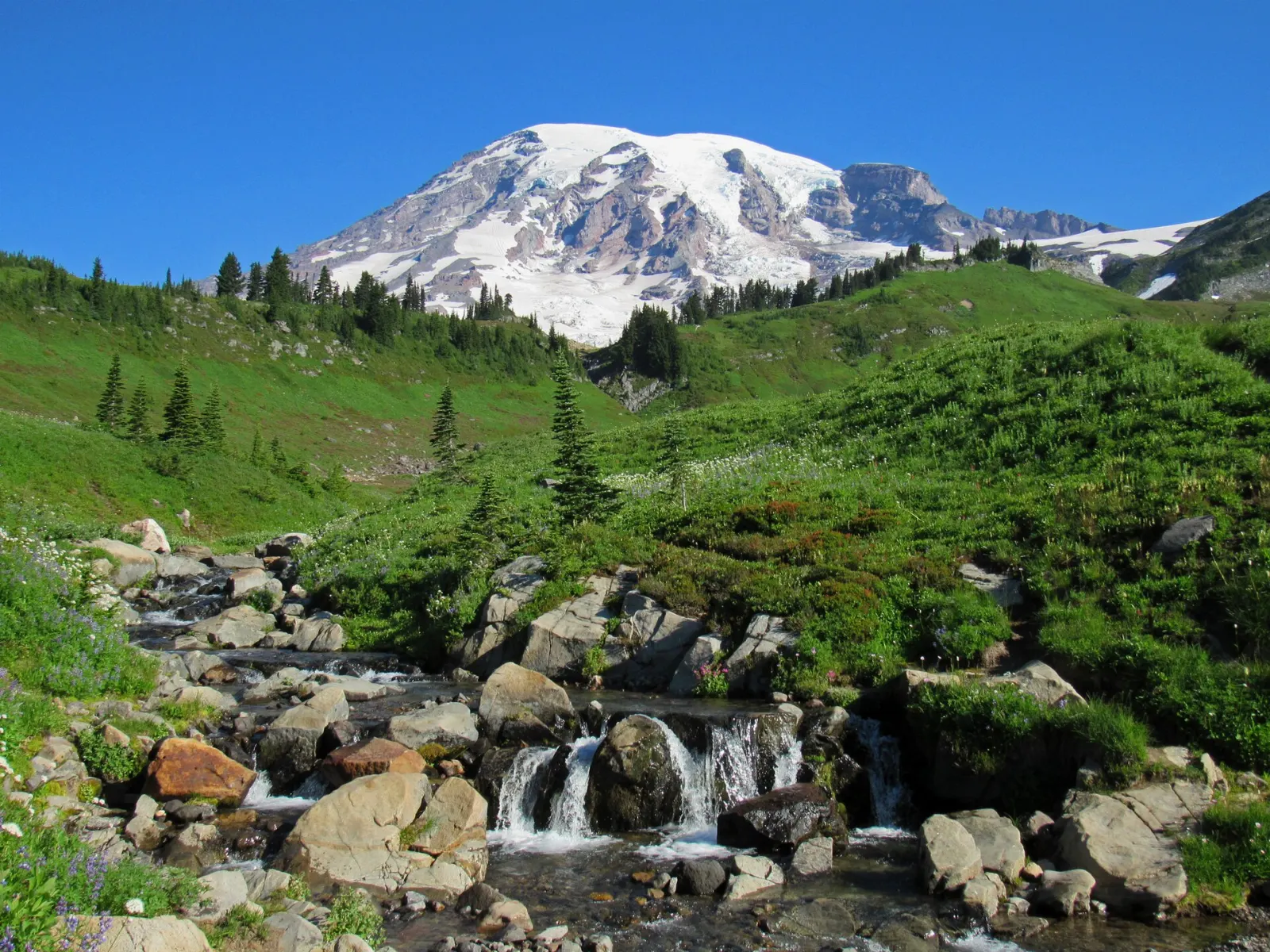
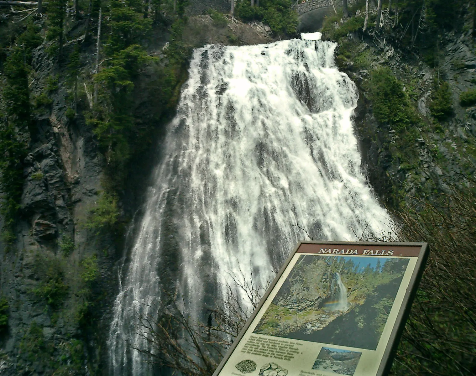
Between Longmire and Paradise, Narada Falls drops more than a hundred and fifty feet on the Paradise River. A short but steep path from the parking area leads to a viewpoint where you can feel the spray and often see rainbows.
Reflection Lakes
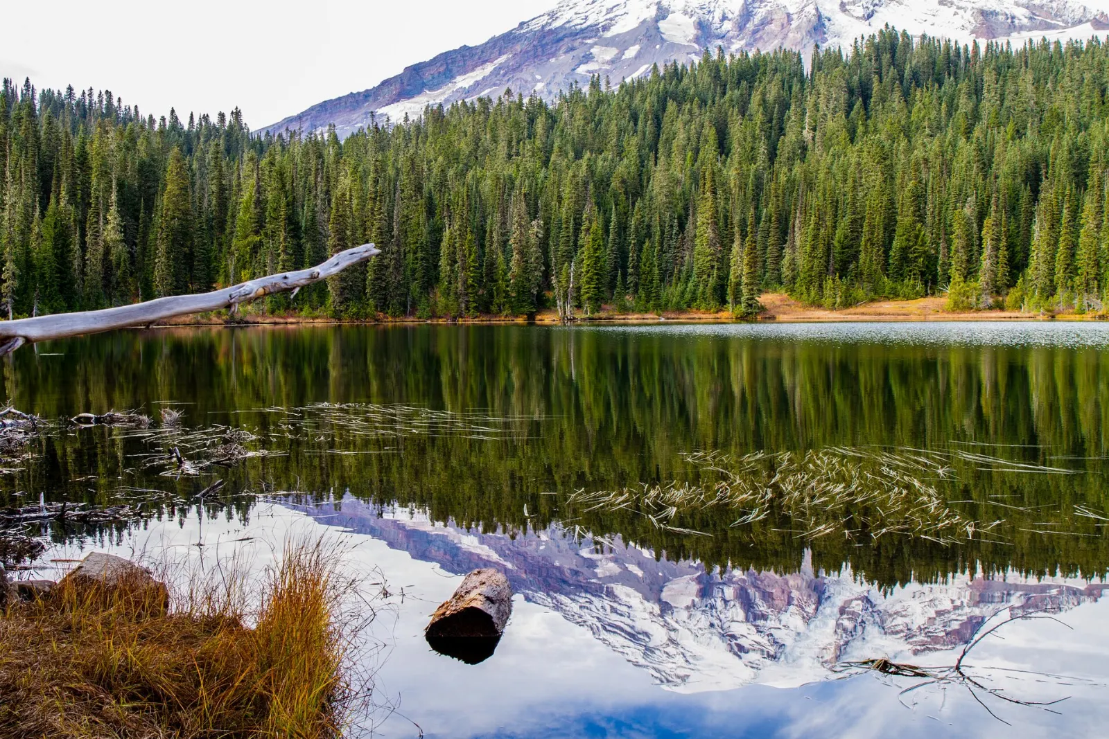
Just east of Paradise along Stevens Canyon Road, Reflection Lakes are known for mirror images of the mountain on still mornings. The lakeshore is lined with meadows, and the Pinnacle Peak trail begins across the road.
Christine Falls
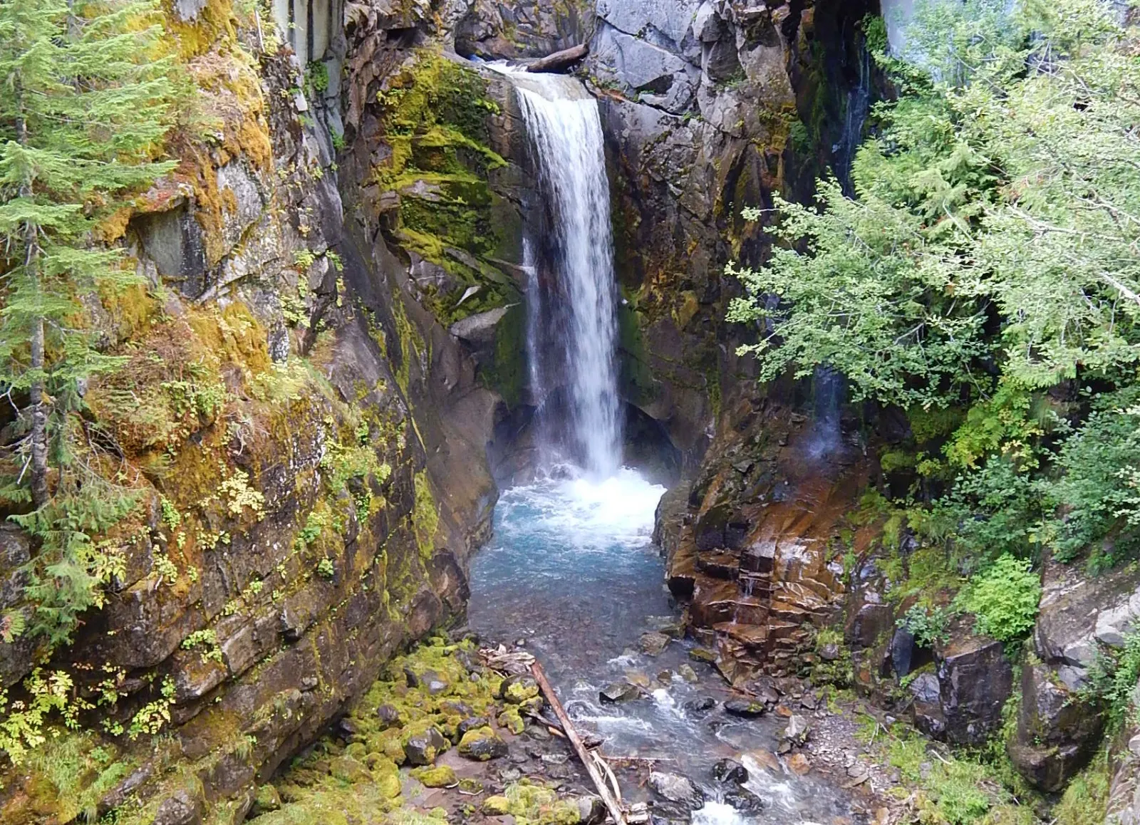
Christine Falls tumbles through a narrow gorge beneath a rustic stone road bridge, creating one of the most photographed scenes in the park. A short path leads to the viewpoint below the road.
Longmire
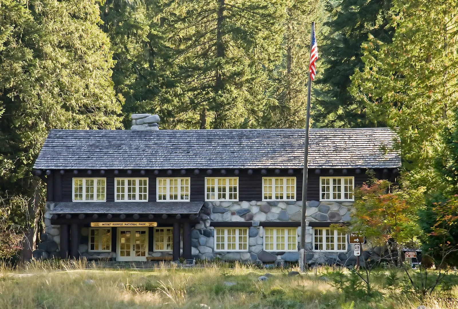
Longmire was the park's first headquarters and has rustic historic buildings, a small museum, a wilderness information center and a historic inn. The easy Trail of the Shadows loop circles a meadow with mineral springs and the remains of an early homestead.
Sunrise and the east side
Sunrise
At about 6,400 feet, Sunrise is the highest point in the park reachable by car and faces the northeast side of the mountain, including the Emmons Glacier, the largest glacier by area in the contiguous United States. Trails lead to Sourdough Ridge, Frozen Lake, the Mount Fremont Lookout and the Burroughs Mountain plateau, with views of the Cascade Range stretching toward Mount Baker and Glacier Peak.
Tipsoo Lake and the Naches Peak Loop
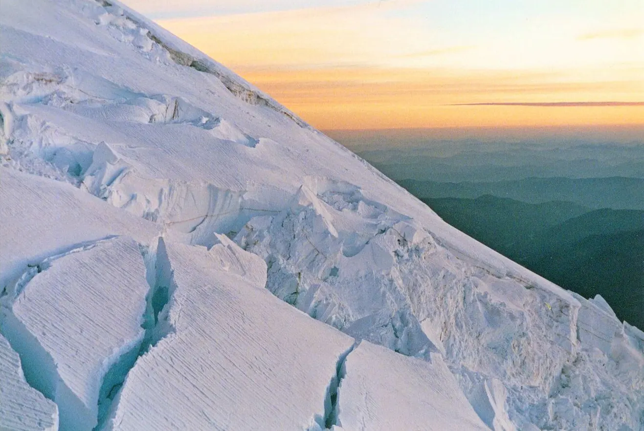
Just below Chinook Pass on State Route 410, Tipsoo Lake sits among subalpine meadows with the mountain rising beyond. The Naches Peak Loop, about three and a half miles long, circles a peak through meadows and past small tarns, with superb views of Rainier on the return.
Box Canyon and Stevens Canyon Road
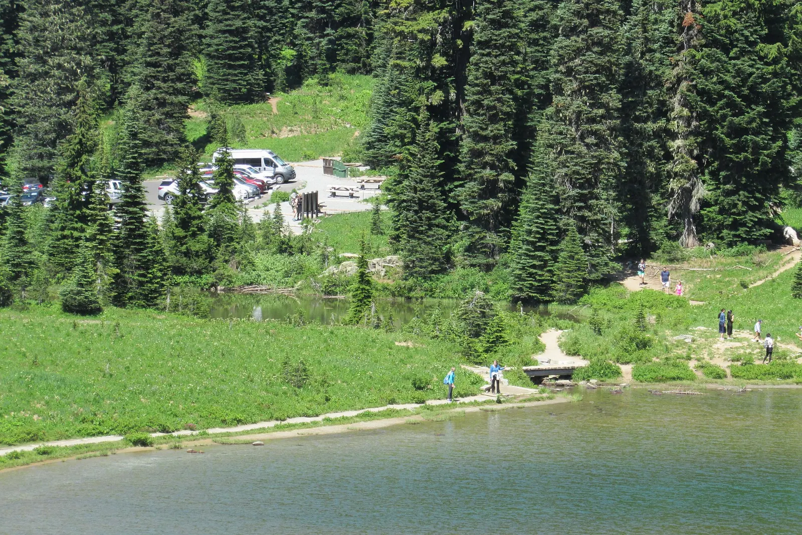
Stevens Canyon Road connects Paradise with the southeast corner of the park, winding past waterfalls and viewpoints. At Box Canyon the Muddy Fork of the Cowlitz River has carved a deep slot through the rock, which you can view from a bridge and a short trail. Allow thirty minutes.
 Planning a trip to Mount Rainier National Park?Compare hotels, flights and vacation rentals for Mount Rainier National Park on Expedia.Book now
Carbon River and Mowich Lake
Carbon River
In the northwest corner of the park, the Carbon River area protects an inland temperate rain forest of mossy trees and ferns. After repeated floods, the road beyond the entrance is closed to vehicles, but you can walk or bike the old roadbed to Ipsut Creek and continue on trails toward the Carbon Glacier.
Mowich Lake and Tolmie Peak
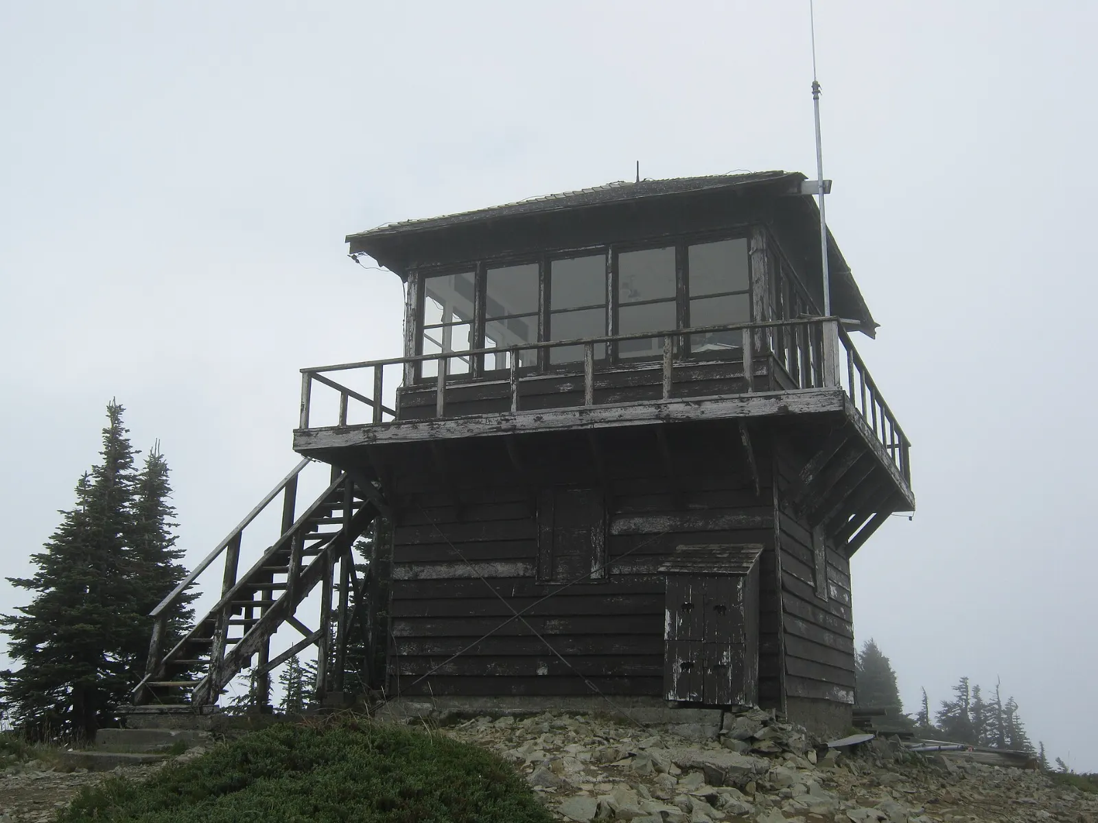
A long gravel road leads to Mowich Lake, the largest and deepest lake in the park. From here, a moderate trail climbs past Eunice Lake to the Tolmie Peak fire lookout, with a classic view of the mountain.
Food and local flavors
Food options inside the park are limited to a few seasonal cafes and dining rooms at Paradise, Longmire and Sunrise, so plan to bring a picnic and plenty of water. The gateway communities offer more choice.
Look for wild huckleberries, which ripen in late summer and turn up in pies, milkshakes, jams and syrups.
Popular dishes to try in Mount Rainier National Park


Where to stay
Ashford, just outside the Nisqually Entrance, is the most popular base, with cabins, lodges and vacation rentals close to Longmire and Paradise. Packwood, on the southeast side, suits travelers combining Paradise with the eastern roads. Enumclaw, Greenwater and the Crystal Mountain area are the best bases for Sunrise and Chinook Pass.
Where to stay in Mount Rainier National Park


Best time to visit
Mid-July to early September is peak season, when roads to Sunrise, Chinook Pass and Mowich Lake are open, trails are mostly snow free, and wildflowers bloom from late July to mid-August. It is also the busiest time.
Getting there and getting around
Seattle-Tacoma International Airport is the nearest major airport. From there, the drive to the Nisqually Entrance via Ashford takes about two hours, and the drive to Sunrise via Enumclaw takes a little longer.
The park has five entrances: Nisqually in the southwest, Stevens Canyon in the southeast, White River in the northeast, Carbon River in the northwest, and the road to Mowich Lake.
A suggested itinerary
First day
Enter at Nisqually early in the morning.
Second day
Catch the morning light at Reflection Lakes and stop at Box Canyon, then head east and north to Sunrise via State Route 123 and 410 if the roads are open.
Third day
Walk the Naches Peak Loop from Tipsoo Lake in the morning, then return toward Seattle, or spend the day at Mowich Lake and Tolmie Peak if you are visiting in late summer.
Practical tips
- Arrive before seven in the morning or after four in the afternoon to avoid long lines and full parking lots.
- Check the park's road status and construction pages before every visit.
- Fill your tank in Ashford, Packwood or Enumclaw, as there is no fuel inside the park.
- Bring layers, rain gear and sun protection; weather on the mountain can change quickly.
- Stay on trails and off the meadows, and keep your distance from marmots, bears and goats.
- Carry tire chains between November and May, as required by the park.
Find local businesses in Ashford on WiserMap
Ashford is the main gateway to Mount Rainier National Park, just outside the Nisqually Entrance, with cabins, cafes, gear rentals and guide services along the road to Paradise.