Lake Tahoe sits at about 6,200 feet in the Sierra Nevada, straddling the line between California and Nevada. It is one of the deepest lakes in North America, and its water is so clear that boulders appear to float just beneath the surface near shore.
AT A GLANCE
Best time
September and early October for warm days and thinner crowds; December to March for skiing.
How long
Three to four days to circle the lake, hike and enjoy a beach day.
Getting there
Fly into Reno-Tahoe International, about an hour away, or drive from Sacramento.
Why visit Lake Tahoe
The color of the water is what most people remember: deep cobalt in the middle, turquoise and jade over the sandy shallows. Add snowy peaks for much of the year, and the scenery stays striking from almost any pullout.
The lake also has deep human history. It is the ancestral homeland of the Washoe people, and sites such as Cave Rock remain culturally important. Later came logging, grand summer estates and the 1960 Winter Olympics at what is now Palisades Tahoe.
Emerald Bay and the west shore
Emerald Bay and Inspiration Point
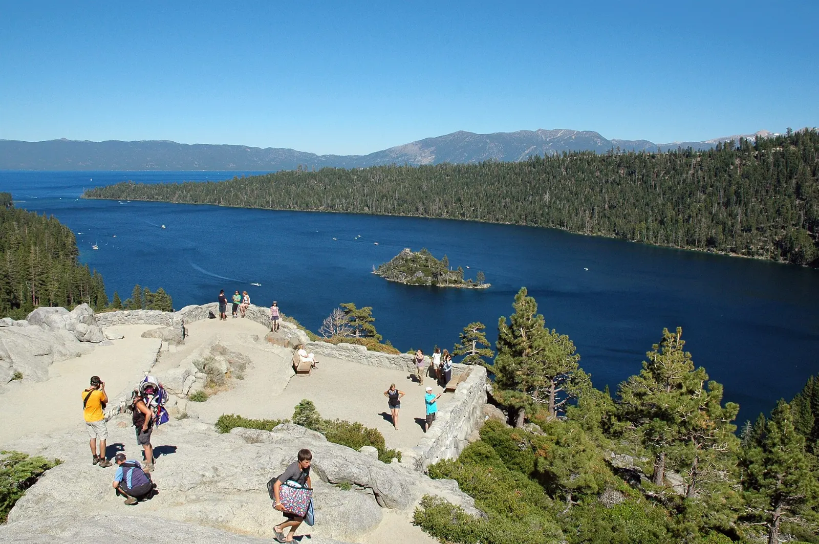
Emerald Bay is the signature view of Lake Tahoe. State Route 89 winds high above the narrow bay, and pullouts such as Inspiration Point look straight down on the turquoise water and tiny Fannette Island with its stone teahouse ruins.
Vikingsholm
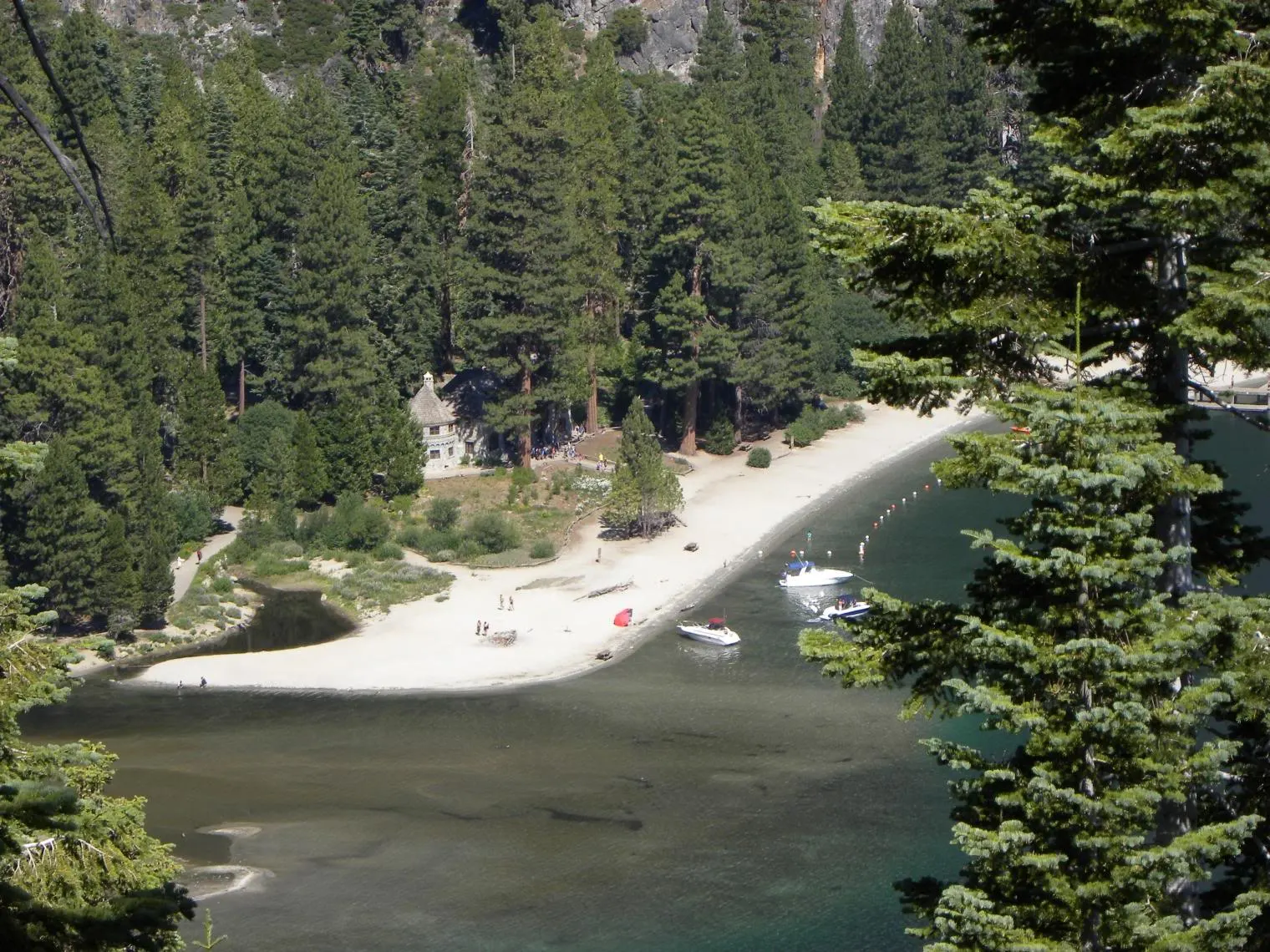
At the head of Emerald Bay stands Vikingsholm, a mansion built in 1929 for Lora Knight in a style inspired by Scandinavian architecture, complete with carved dragon heads and a sod roof.
Eagle Falls and Eagle Lake
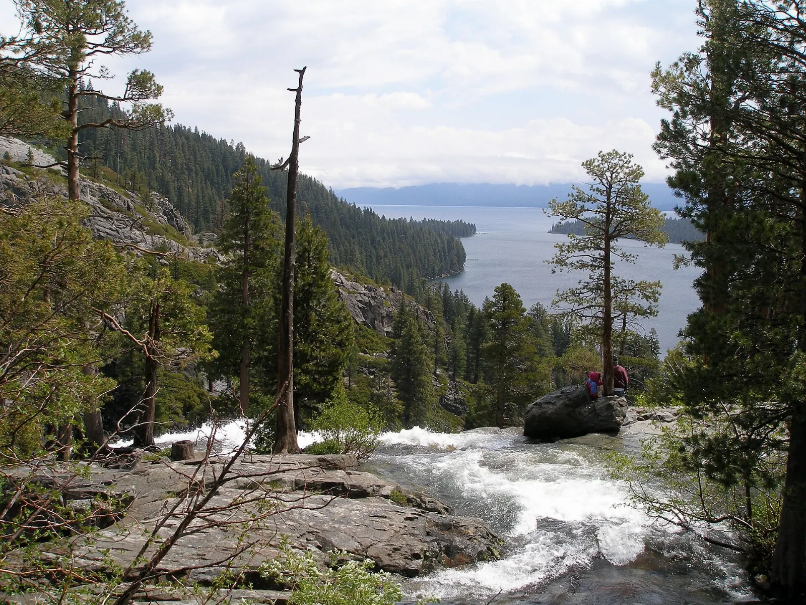
Across the highway from the Vikingsholm lot, a short trail climbs past Eagle Falls to Eagle Lake, an alpine pond set beneath granite cliffs at the edge of the Desolation Wilderness. The round trip is about two miles and takes one to two hours.
D. L. Bliss State Park and the Rubicon Trail
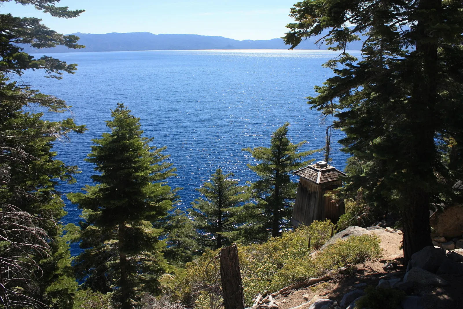
Just north of Emerald Bay, D. L. Bliss State Park protects some of the clearest water on the lake, with Lester Beach and Calawee Cove for swimming. The Rubicon Trail traces the shoreline south toward Emerald Bay, passing Rubicon Point, where the water drops away into deep blue.
South Lake Tahoe and the south shore
Tallac Historic Site and Taylor Creek
On the flat, forested shore west of South Lake Tahoe, the Tallac Historic Site preserves the Pope, Baldwin and Valhalla estates, grand summer homes from the early twentieth century linked by easy paths and a long sandy beach. Next door, the Taylor Creek Visitor Center has a stream profile chamber where you can watch fish through underwater windows, and in early autumn bright red kokanee salmon crowd the creek to spawn.
Heavenly and Stateline
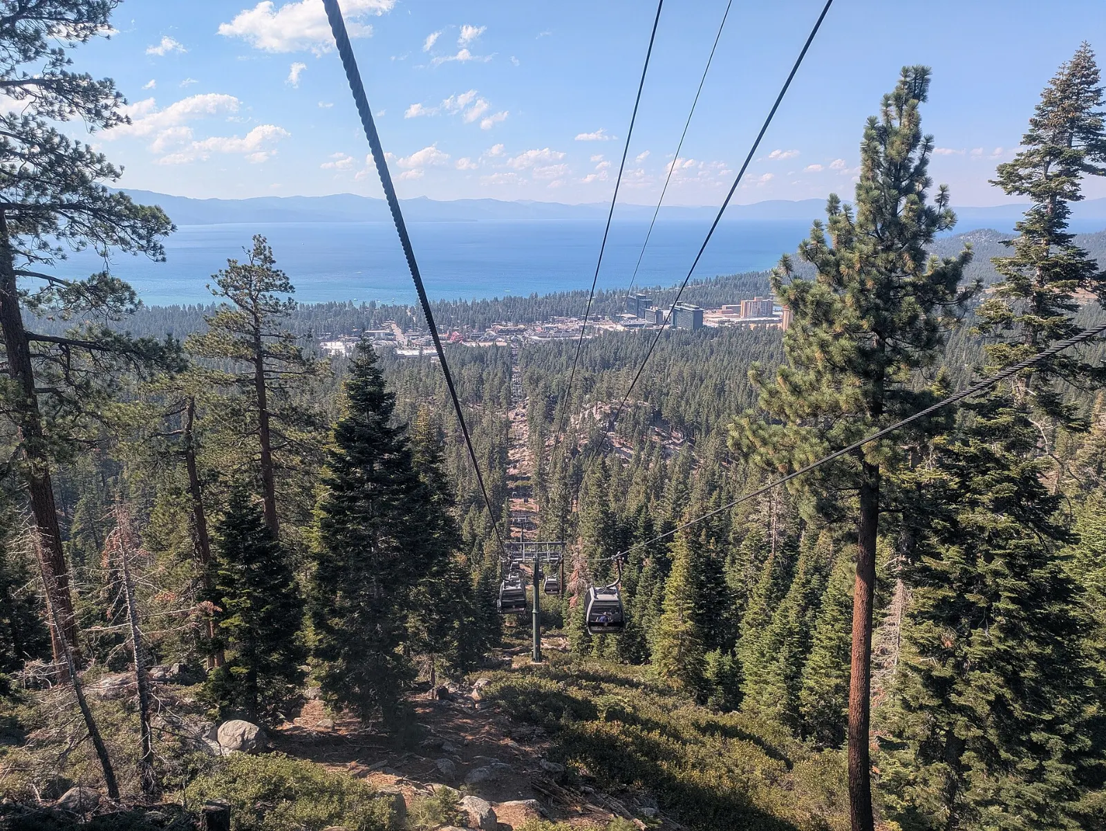
Heavenly Mountain Resort spans both states and rises directly above South Lake Tahoe. In winter its runs offer lake views few ski areas can match.
The east shore, Tahoe City and Olympic Valley
Cave Rock
Driving north along U.S. 50 on the Nevada side, the road tunnels through Cave Rock, a volcanic outcrop that rises straight from the water. It is sacred to the Washoe people, and climbing on it is not permitted.
Sand Harbor and the Tahoe East Shore Trail
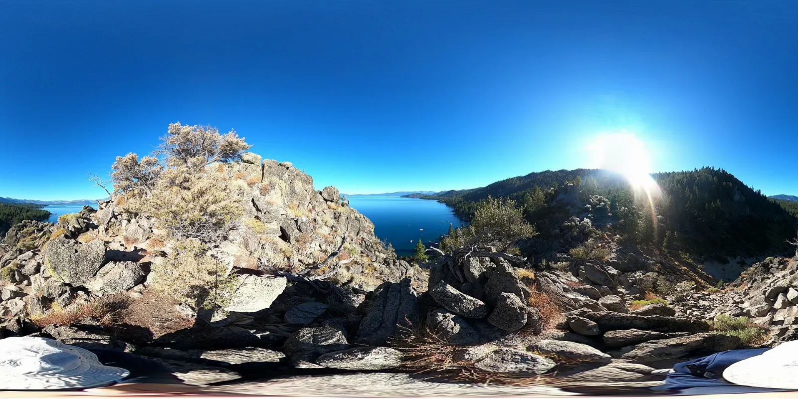
Sand Harbor, part of Lake Tahoe Nevada State Park, is famous for rounded granite boulders sitting in shallow, crystal-clear coves. A short boardwalk loops along the point, and the beaches are excellent for swimming and paddling.
Tahoe City and Fanny Bridge
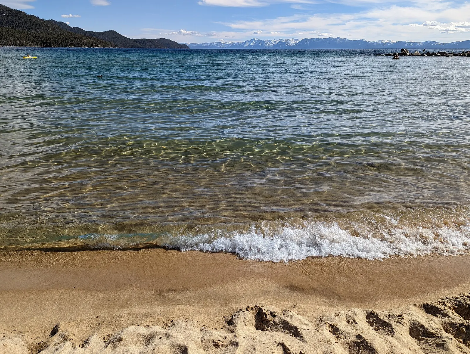
Tahoe City is the hub of the north and west shores. Fanny Bridge crosses the Truckee River at the lake's only outlet, beside the dam that regulates the water level.
Palisades Tahoe and Olympic Valley
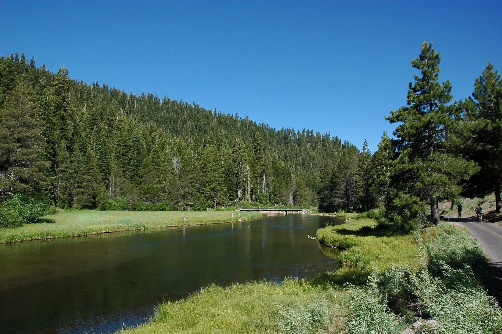
Northwest of Tahoe City, Olympic Valley hosted the 1960 Winter Olympics, and Palisades Tahoe remains one of the largest ski resorts in the country. In summer, an aerial tram climbs to High Camp for alpine hikes and views. Allow a half day in summer or a full day for skiing.
Kings Beach
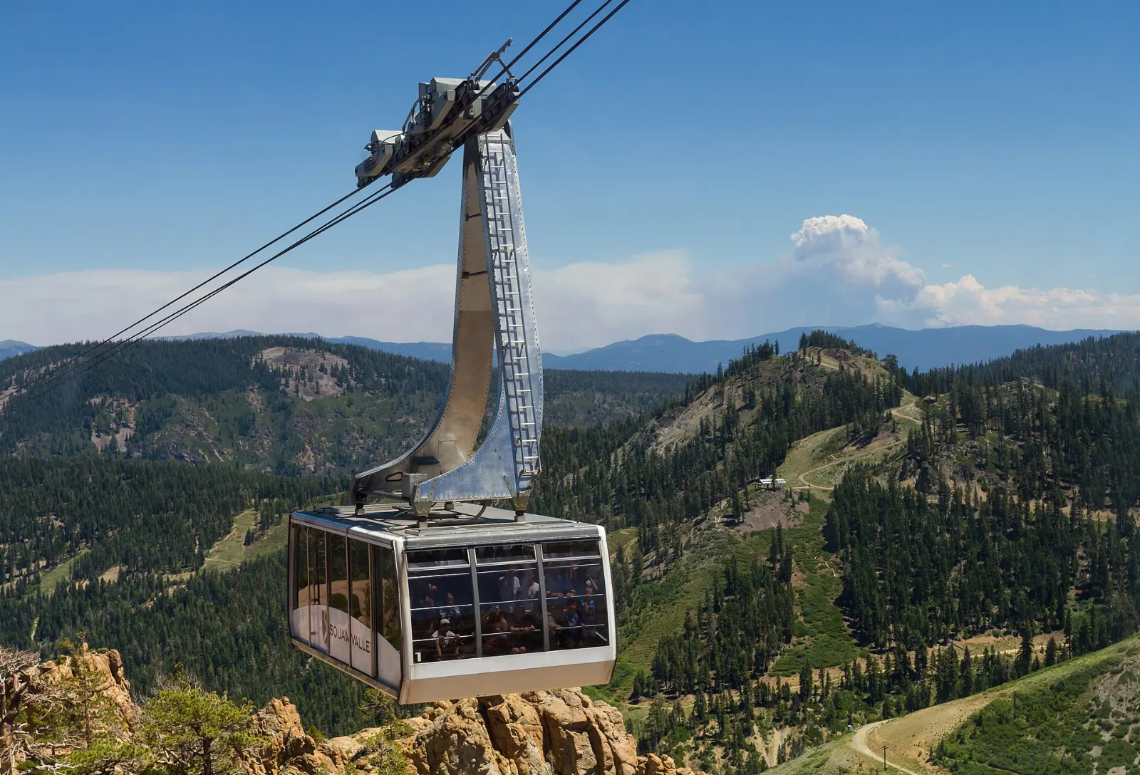
On the north shore, Kings Beach has a long, public sandy beach with shallow water and views across the lake to the mountains. It is a relaxed spot for families and paddlers. Allow a few hours.
 Planning a trip to Lake Tahoe?Compare hotels, flights and vacation rentals for Lake Tahoe on Expedia.Book now
Food and local flavors
Tahoe's food is mountain-town comfort with a California accent. Expect hearty breakfasts before hikes, burgers and fish tacos at lakeside grills, wood-fired pizza and craft beer from local breweries.
Historic downtown Truckee, a short drive from the north shore, is one of the best areas for a dinner out, with restaurants inside old railroad-era buildings.
Popular dishes to try in Lake Tahoe


Where to stay
South Lake Tahoe and Stateline offer the widest choice, from motels to resort towers and vacation rentals, with nightlife and quick access to Heavenly and Emerald Bay.
Tahoe City and the west shore are quieter, with cabins and small inns among the pines. They suit hikers, cyclists and couples.
Where to stay in Lake Tahoe


Best time to visit
Summer, from late June through August, is peak season.
September and early October are many travelers' favorite months.
Winter, roughly December through March, brings heavy snow and excellent skiing. Expect chain controls on mountain passes and occasional road closures, including the Emerald Bay stretch of State Route 89.
Getting there and getting around
Reno-Tahoe International Airport is the closest major airport, about an hour's drive from the north and south shores in good conditions.
A car is the most flexible way to circle the lake, but parking at popular beaches and trailheads fills early in summer, and some lots charge fees.
A suggested itinerary
First day
Start early at Emerald Bay. Take in Inspiration Point, walk down to Vikingsholm and hike up to Eagle Lake.
Second day
Explore the north shore. Walk around Tahoe City and Fanny Bridge, relax at Kings Beach, then continue to Incline Village and walk or cycle the Tahoe East Shore Trail to Sand Harbor.
Third day
Drive the east shore past Cave Rock to South Lake Tahoe.
Practical tips
- Arrive before mid-morning at Emerald Bay, Sand Harbor and other popular lots in summer.
- Lake Tahoe's water is cold year-round, so swim close to shore and wear a life jacket when paddling.
- The altitude is significant. Drink plenty of water, use strong sunscreen and take it easy on the first day.
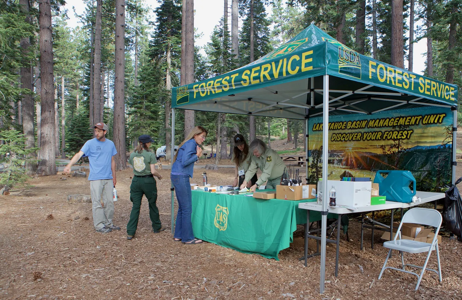
- Pick up a free self-issued permit for day hikes into Desolation Wilderness.
- Carry tire chains in winter and check road conditions, as closures can happen quickly.
- Black bears live around the lake. Never leave food in your car and use bear-proof bins.
- Clean, drain and dry boats and paddleboards, as inspections protect the lake from invasive species.
Find local businesses in South Lake Tahoe on WiserMap
Need a bike or paddleboard rental, a ski shop, a coffee stop or a place to eat after a long hike?