Glacier National Park covers more than a million acres of the Northern Rockies along Montana's border with Canada.
AT A GLANCE
Best time
July to mid-September, when Going-to-the-Sun Road and the high trails are usually open.
How long
Four to five days lets you cover both the west and east sides plus a few long hikes.
Getting there
Fly into Glacier Park International near Kalispell or ride Amtrak's Empire Builder to West Glacier.
Why visit Glacier National Park
Glacier offers some of the most dramatic mountain scenery in the Lower 48 with unusually easy access. A single road crosses the Continental Divide through the heart of the park, so you can stand on alpine meadows at Logan Pass without a multi-day trek.
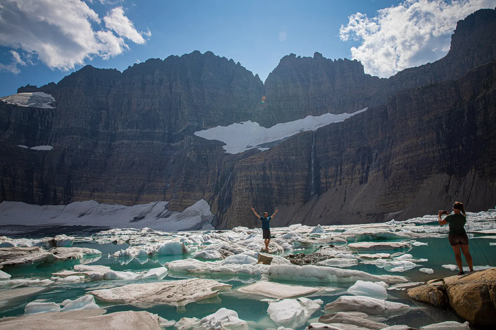
The park also tells a story of change. When it was established in 1910, it held many more glaciers than survive today, and the remaining ice is shrinking. Seeing glaciers such as Grinnell up close is a reason many visitors come now rather than later.
Finally, Glacier is a park of contrasts. The west side is green and forested, with cedar and hemlock groves fed by Pacific moisture.
The west side and Going-to-the-Sun Road
Lake McDonald and Apgar
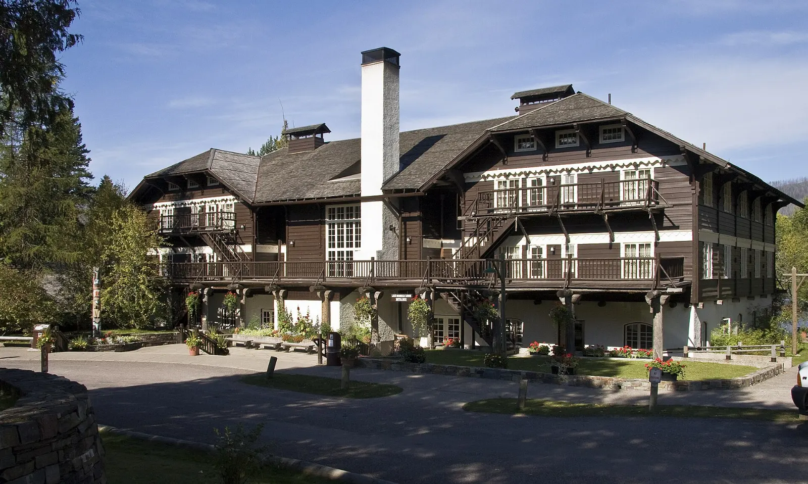
Lake McDonald, about ten miles long, is the largest lake in the park and the first big view for most visitors entering at West Glacier.
Spend an hour or two here, or rent a kayak or take a historic boat tour from Lake McDonald Lodge. The water is cold year round, so swimming is brief.
Trail of the Cedars and Avalanche Lake
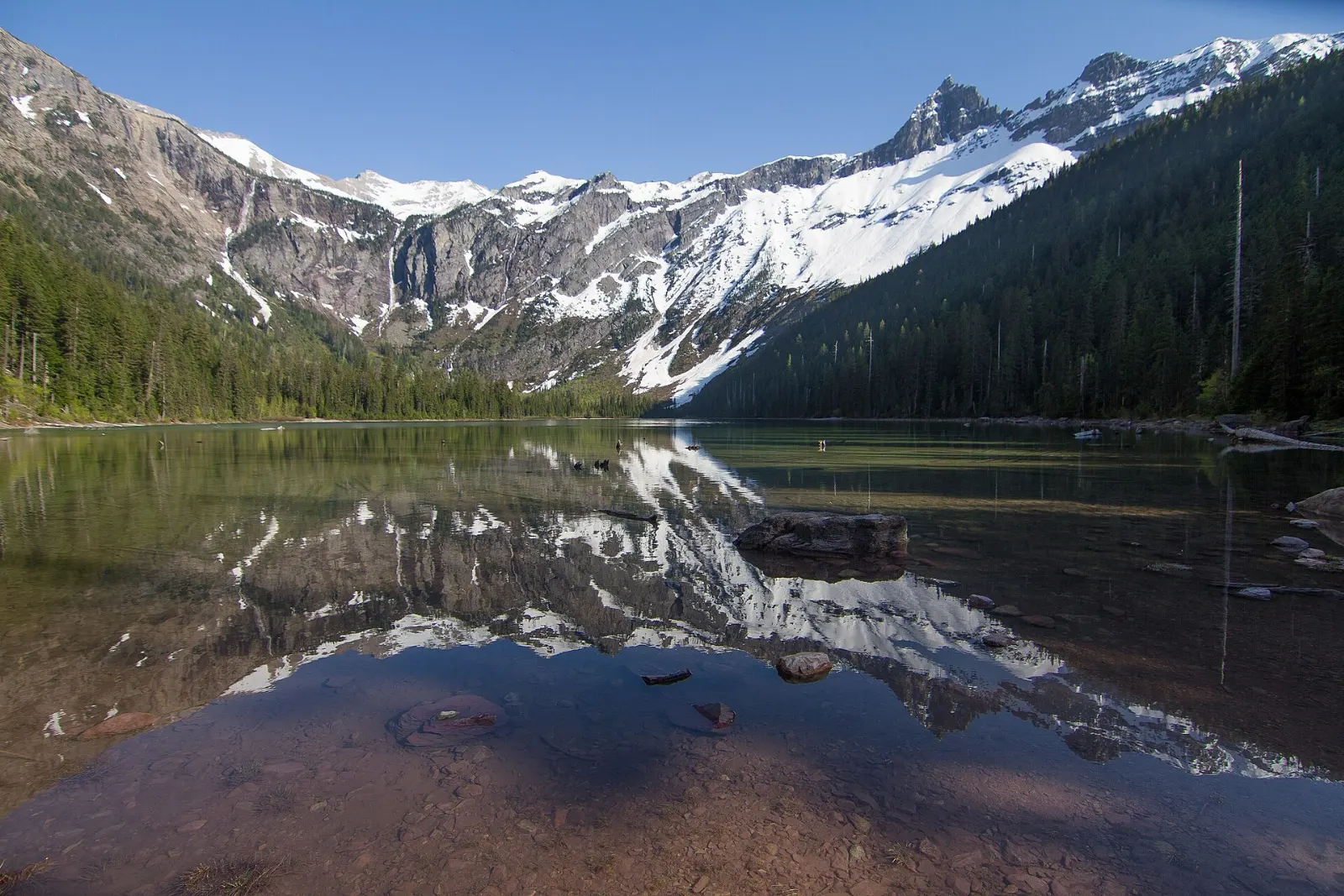
Trail of the Cedars is a short, accessible boardwalk loop through an old-growth forest of western red cedar and hemlock beside Avalanche Gorge, where a creek rushes through a narrow channel of red rock.
This is one of the most popular hikes in the park, and parking at the trailhead fills early, so arrive at first light.
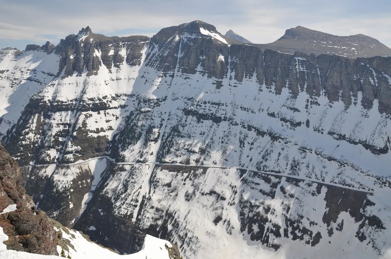
Going-to-the-Sun Road
Completed in 1932, Going-to-the-Sun Road runs about 50 miles between West Glacier and St. Mary, climbing to 6,646 feet at Logan Pass. It is an engineering marvel and a National Historic Landmark, with stone guardrails, tunnels and sections carved into the cliffs below the Garden Wall.
Driving the full road without stops takes about two hours, but most people spend a full day. Vehicle size limits apply on the narrowest section, so check the National Park Service website if you are driving an RV or towing a trailer.
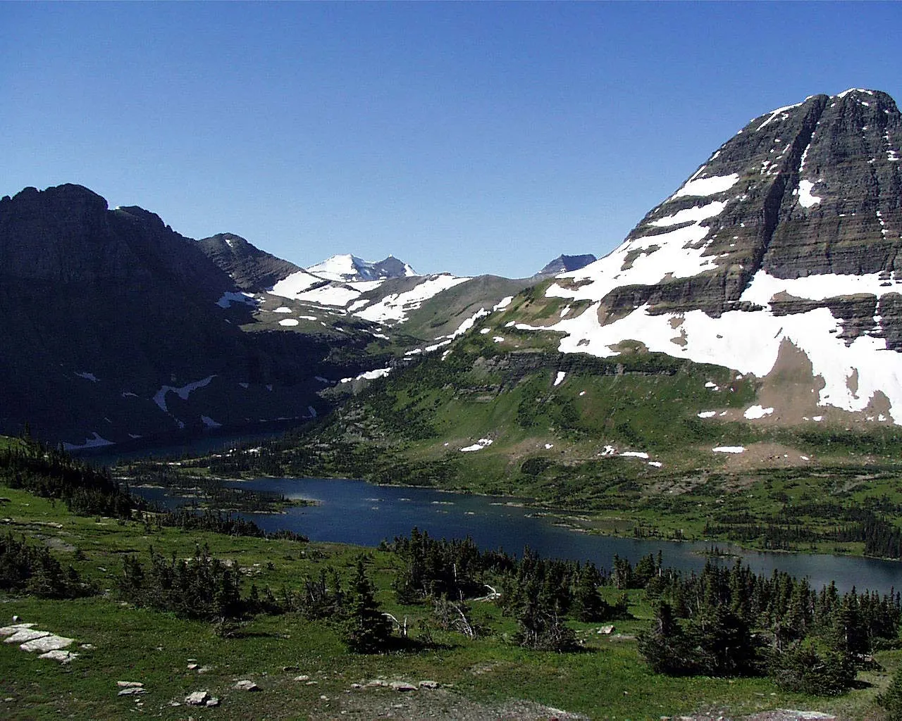
Logan Pass and the high country
Hidden Lake Overlook
The Hidden Lake trail starts behind the Logan Pass Visitor Center and follows a boardwalk and path across alpine meadows bright with wildflowers in midsummer. Mountain goats and bighorn sheep often graze near the trail.
Snow can linger on this trail well into July, so bring traction or good boots early in the season. Sections beyond the overlook are often closed because of bear activity; obey posted closures.
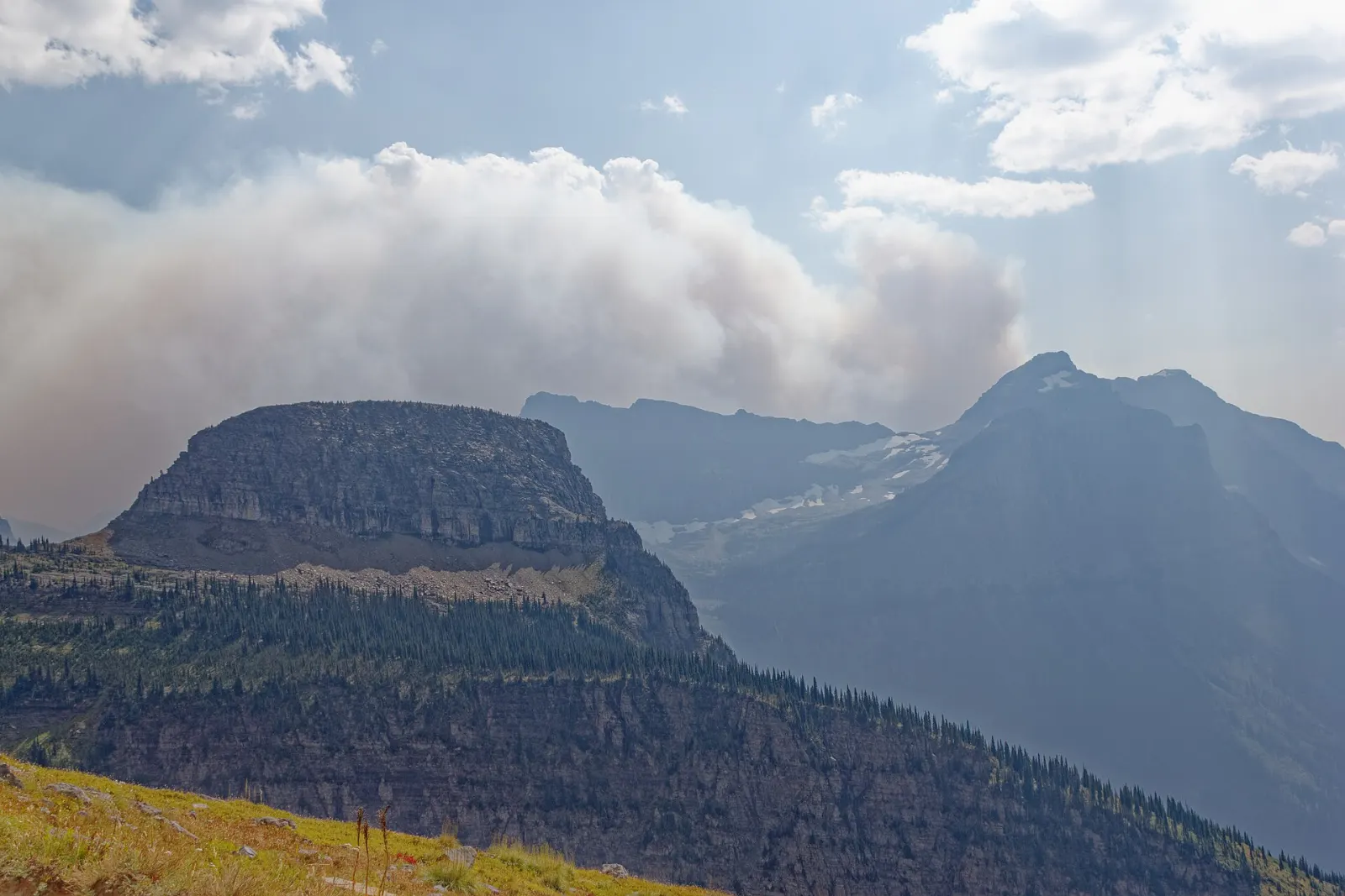
Highline Trail
The Highline Trail is one of the best-known hikes in the national park system.
Arrive very early or use the shuttle, as Logan Pass parking fills fast and time limits on parking were introduced in 2026. If you plan the one-way hike, arrange a shuttle ride or a car at the Loop.
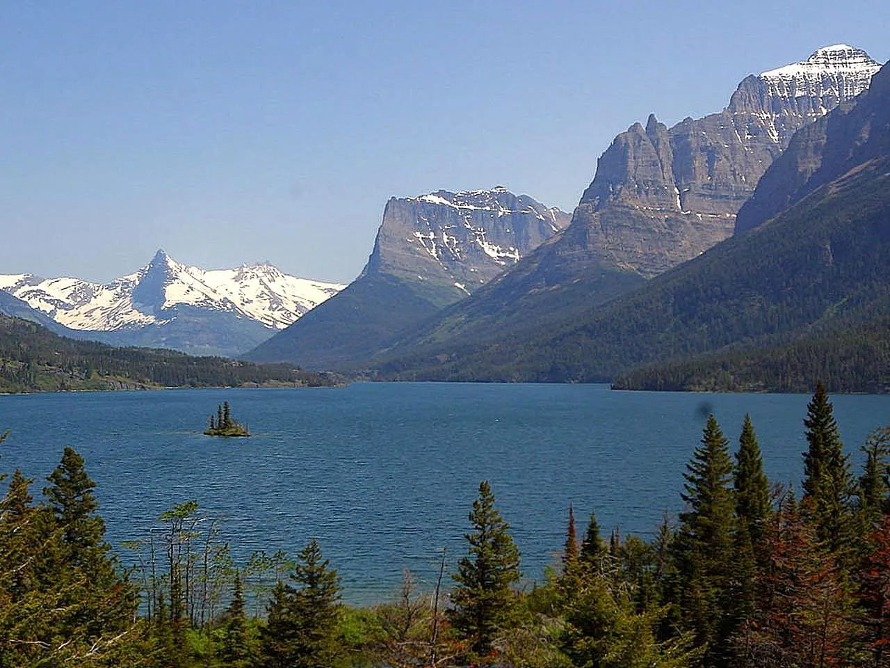
St. Mary Lake and Wild Goose Island
Descending east from Logan Pass, the road follows St. Mary Lake, a long, wind-ruffled lake framed by peaks. The Wild Goose Island turnout offers the classic view of a tiny forested island in the middle of the lake, best in the soft light of early morning.
Many Glacier, Two Medicine and the North Fork
Grinnell Glacier
The Many Glacier valley, on the northeast side of the park, is reached by road from the small town of Babb and is often called the heart of Glacier's hiking country.
Plan a full day. The upper section is often snowbound until mid-July, so check trail status before you go and carry bear spray.
Swiftcurrent Lake and Iceberg Lake
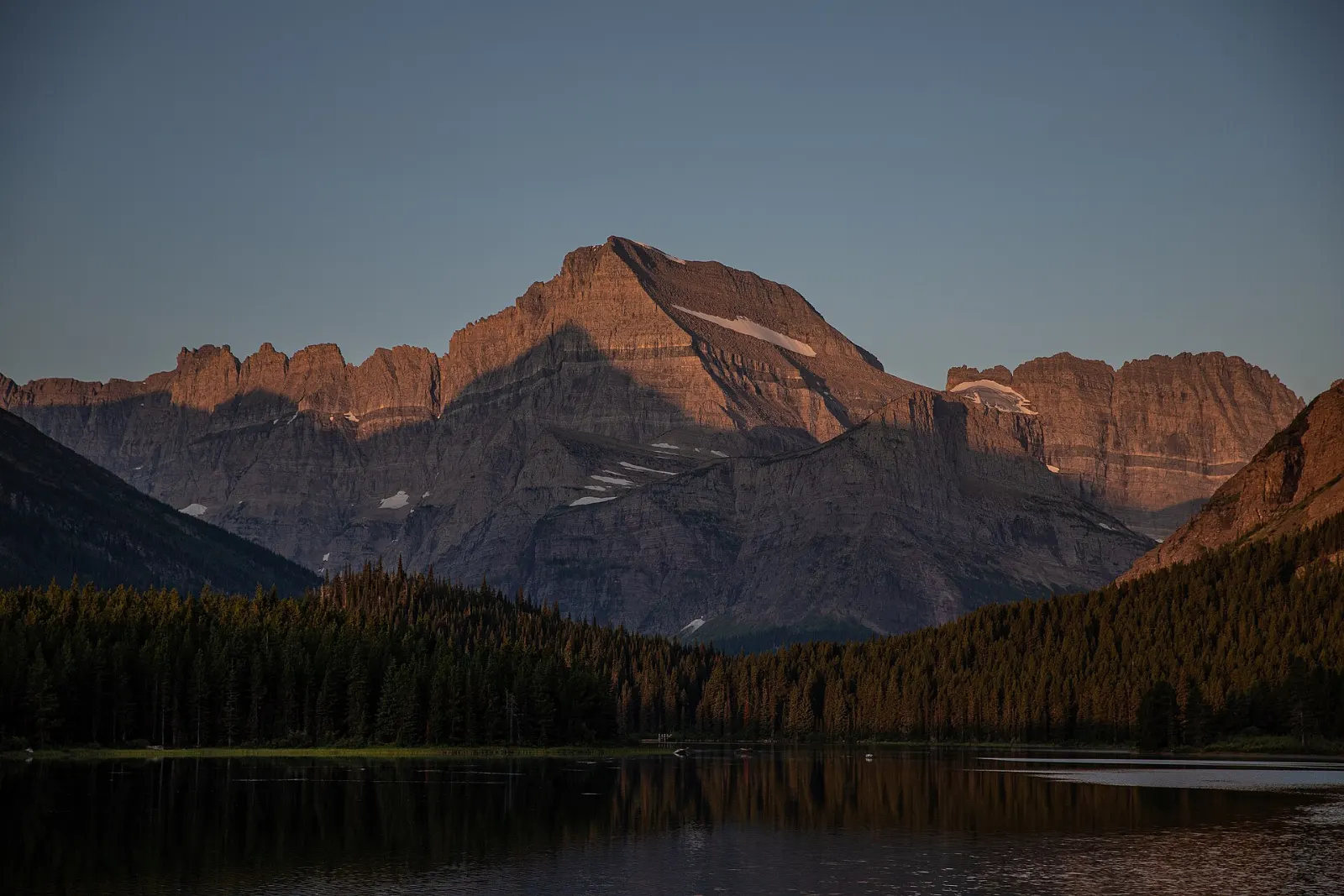
The Many Glacier Hotel, a grand Swiss chalet-style lodge from 1915, sits on the shore of Swiftcurrent Lake, and an easy trail circles the lake with views of Grinnell Point. It is a wonderful spot for sunrise and wildlife watching; moose and bears are frequently seen on the slopes around the valley.
The Many Glacier road has been affected by construction in recent years, so check the National Park Service website for current access before you go.
Two Medicine
In the park's southeast corner, Two Medicine is quieter than Many Glacier and was once the main entrance for travelers arriving by train.
Bowman Lake and the North Fork
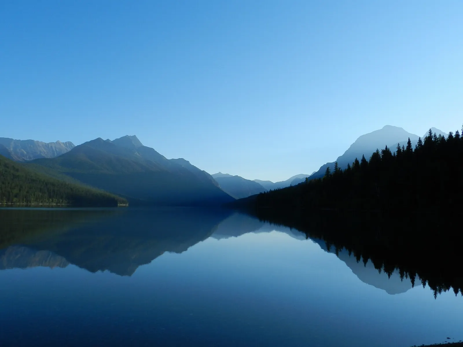
The North Fork area, in the park's northwest corner, is Glacier's wild edge. Access is via a long gravel road through the off-grid community of Polebridge, where the Polebridge Mercantile is known for its huckleberry bear claws and baked goods.
 Planning a trip to Glacier National Park?Compare hotels, flights and vacation rentals for Glacier National Park on Expedia.Book now
Food and local flavors
Huckleberries are the defining taste of the Glacier region.
Montana menus also lean on local beef and bison, often served as burgers or steaks, along with trout from the region's rivers.
Inside the park, food options are limited to lodges, camp stores and a few casual restaurants, so pack picnic lunches and snacks, especially for long hiking days.
Popular dishes to try in Glacier National Park


Where to stay
Staying inside the park puts you closest to trailheads and early light. Historic lodges at Lake McDonald and Many Glacier, along with motor inns and cabins at Apgar, Rising Sun and Swiftcurrent, book up many months in advance.
On the west side, West Glacier and Coram are minutes from the entrance, and Columbia Falls, Whitefish and Kalispell offer more choice for families and anyone wanting restaurants and shops.
On the east side, St. Mary and Babb are handy for Logan Pass and Many Glacier, while East Glacier Park Village is the base for Two Medicine.
Where to stay in Glacier National Park


Best time to visit
The main season runs from July to mid-September, when Going-to-the-Sun Road is usually open end to end, most trails are snow-free and lodges and shuttles are operating.
Early to mid-September is a favorite time for many visitors, with thinner crowds, golden larches starting to turn in late September and October, and active wildlife.
Getting there and getting around
Glacier Park International Airport, between Kalispell and Whitefish, is about 30 minutes from the West Glacier entrance and has seasonal flights from many US cities.
For 2026, the park did not require vehicle reservations, but it can temporarily close entrances or areas when traffic peaks, and parking at Logan Pass has time limits.
Free park shuttles run along Going-to-the-Sun Road in summer, with tickets reserved through Recreation.gov.
A suggested itinerary
First day
Enter at West Glacier, explore Apgar and the colorful shoreline of Lake McDonald, then hike Trail of the Cedars and Avalanche Lake in the afternoon or the next early morning.
Second day
Start before dawn on Going-to-the-Sun Road.
Third day
Base yourself on the east side.
Fourth day
Explore Two Medicine, with a walk to Running Eagle Falls and a boat-assisted hike, then return west on US Highway 2.
Fifth day
Drive to Polebridge for a bear claw and spend a peaceful day paddling on Bowman Lake.
Practical tips
- Carry bear spray on every hike, know how to use it, and make noise on the trail.
- Check the National Park Service website for current access rules, road status and trail closures before each day.
- Book in-park lodging, campgrounds and shuttle tickets as early as possible.
- Start early; trailhead parking at Logan Pass and Avalanche fills soon after sunrise.
- Pack layers, rain gear and sun protection, as mountain weather changes quickly.
- Stay well back from wildlife: at least 100 yards from bears and wolves and 25 yards from other animals.
Find local businesses in Glacier National Park on WiserMap
Need gear, a guide, a cafe in a gateway town or a place to buy bear spray before you hit the trail?