WiserMap — Choose wisely. Connect locally.Choose wisely. Connect locally.Add your business
Uruapan, Michoacán · Travel guide

Uruapan Mexico Waterfalls Avocado Country and Parícutin

Uruapan is the second largest city in Michoacán and the heart of Mexico's avocado country, yet its best-loved attraction is a ravine of springs and waterfalls in the middle of town. Add a colonial center, a working textile mill and one of the most unusual volcanoes in the world, and you have a base for several memorable days.

By WiserMap TravelUpdated October 2026 5 places9 min read
FacebookXLinkedIn
At a glance Uruapan
  1. Best timeThe dry winter months suit hiking, and November brings Day of the Dead and the Avocado Festival.
  2. How longTwo days for the city and park, three if you add Parícutin.
  3. Getting thereBy bus or toll road from Morelia, a drive of about two hours.

Why visit Uruapan

Uruapan was laid out in 1534 by Friar Juan de San Miguel and still shows its colonial and Purépecha roots in its plazas, chapels and craft traditions. The name comes from a Purépecha word for plants that flower and fruit at the same time, a fitting image for a city surrounded by orchards.

The setting helps. Uruapan lies at the western edge of the Purépecha highlands at around 1,620 meters, with warm days, green hills and water everywhere.

The old center

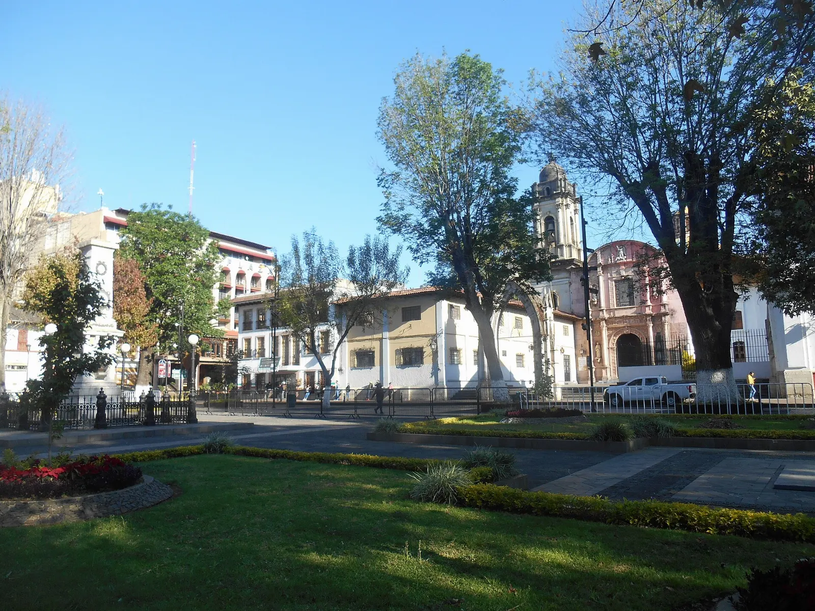
The long main plaza of Uruapan with trees and colonial arcades, Michoacán

Plaza de Mártires de Uruapan

The very long Plaza de Mártires is the heart of the city, lined with commercial arcades and the main landmarks. It is an easy place to sit with a drink and watch Uruapan go by.

The Plaza de Mártires de Uruapan marks the center of the city. Photo: OSISANCHEZ, Wikimedia Commons, CC BY-SA 4.0
Stone portal of La Huatápera museum in Uruapan, Michoacán

La Huatápera

La Huatápera, officially the Museo de los Cuatro Pueblos Indios, takes its name from a Purépecha word meaning meeting place.

La Huatápera stands on the site of a hospital founded in 1533. Photo: OSISANCHEZ, Wikimedia Commons, CC0

The parish church and Casa de la Cultura

West of La Huatápera, the Casa de la Cultura was built in 1992 on the site of the old Franciscan monastery. The original church of that monastery, dating to 1533, is now the city's parish church and keeps its 16th-century Plateresque portal.

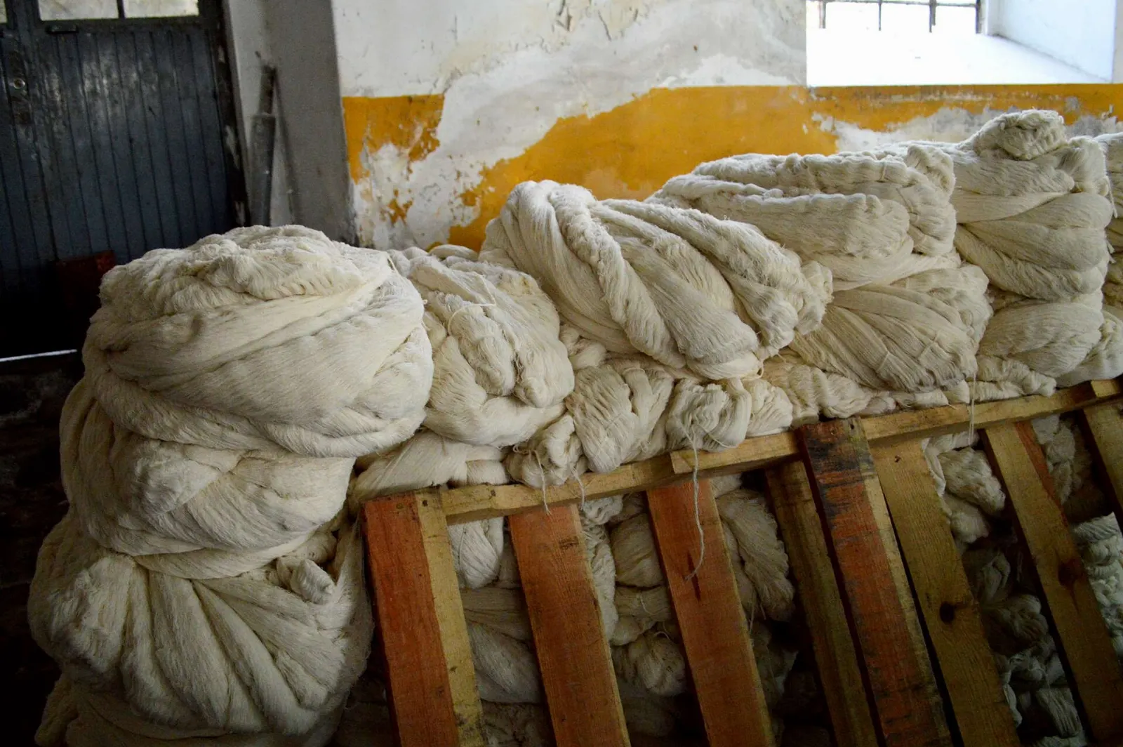
The brick buildings of the San Pedro textile factory in Uruapan, Michoacán

Fábrica San Pedro

Construction of this textile mill began in 1886, when Uruapan was at its industrial peak. It is still operating, though on a smaller scale, and the owners keep a handcrafted approach to bedspreads, tablecloths and napkins.

The San Pedro textile mill began construction in 1886. Photo: AlejandroLinaresGarcia, Wikimedia Commons, CC BY-SA 4.0

The narrowest house

At 50-C Carrillo Puerto stands a house recognized by Guinness World Records as the narrowest in the world. It is a quick photo stop, easy to combine with a walk through the center.

Waterfalls, a national park and a volcano

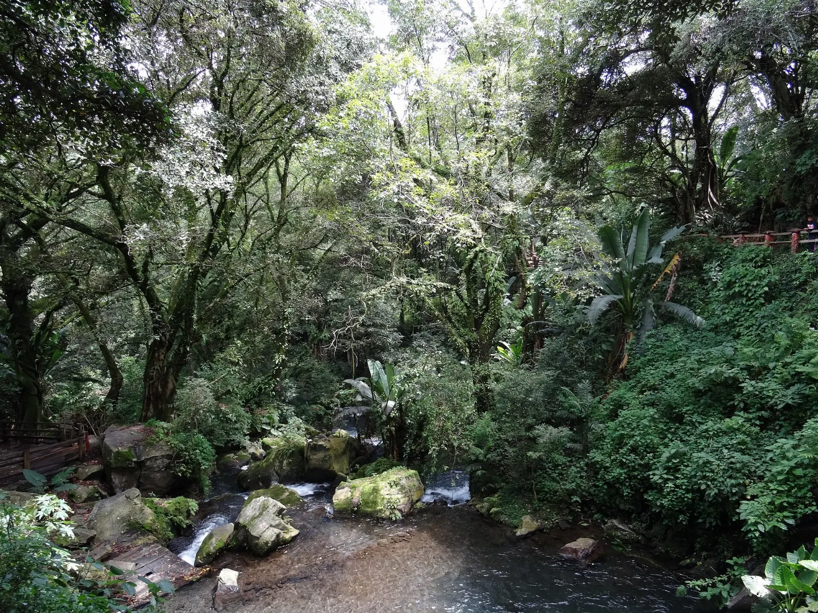
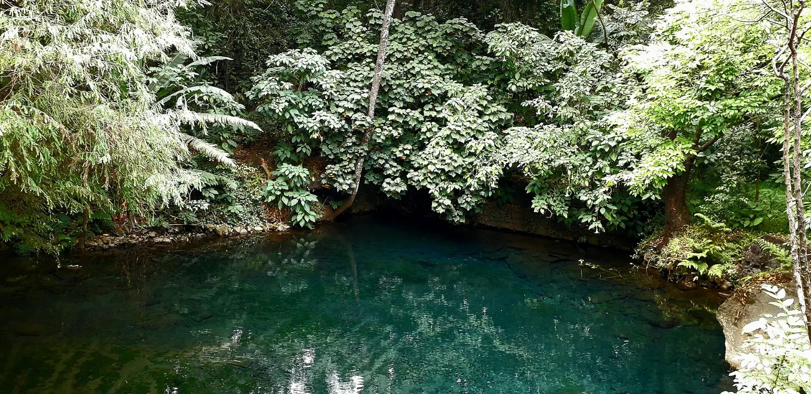
Waterfall and spring in the Cupatitzio national park near the Rodilla del Diablo, Uruapan, Michoacán

Parque Nacional Barranca del Cupatitzio

The ravine at the western edge of the city is the headwaters of the Cupatitzio river and one of the most visited national parks in Mexico. Springs, canals, fountains, bridges and old trees fill the paths, and the first spring is the Rodilla del Diablo, or Devil's Knee.

The Rodilla del Diablo spring is the source of the Cupatitzio river. Photo: Andrea Jimena Urbina González, Wikimedia Commons, CC BY-SA 4.0

Tzaráracua

About 10 kilometers south of the city, Tzaráracua is a tall waterfall in a forested canyon, with the smaller Tzararacuita nearby. You reach it by a walk of around three kilometers, including a long descent by stairs. A horse ride and ziplines are available for those who prefer them.

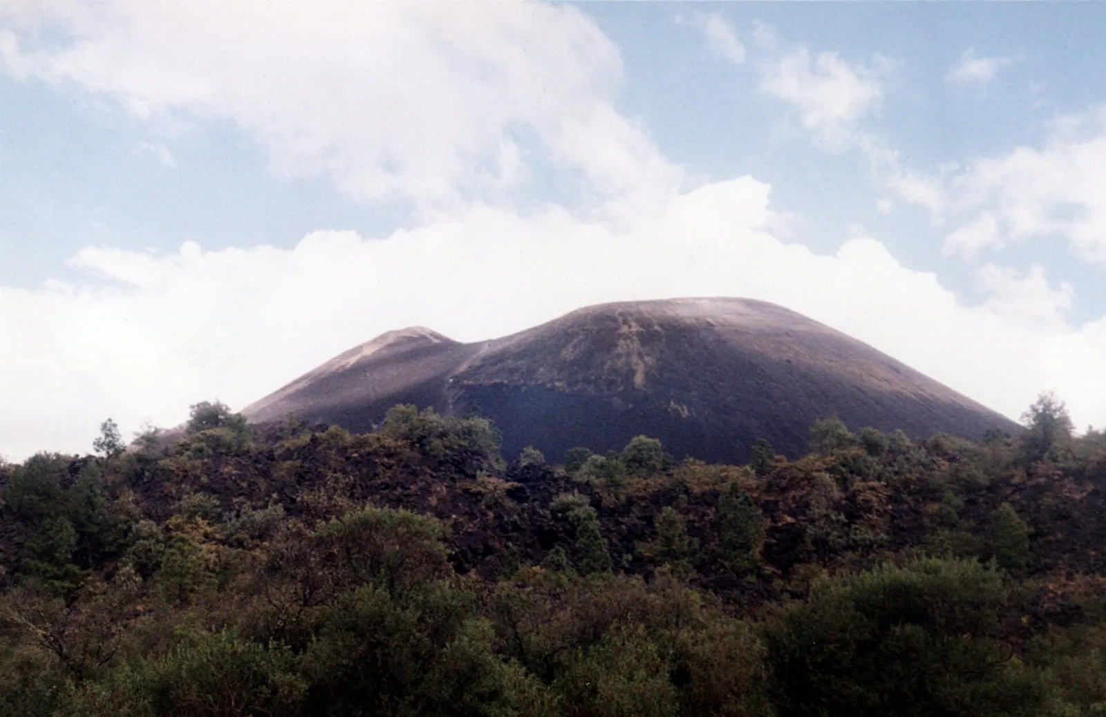
Dark cone of Parícutin volcano rising from lava fields, Uruapan, Michoacán

Parícutin and San Juan Parangaricutiro

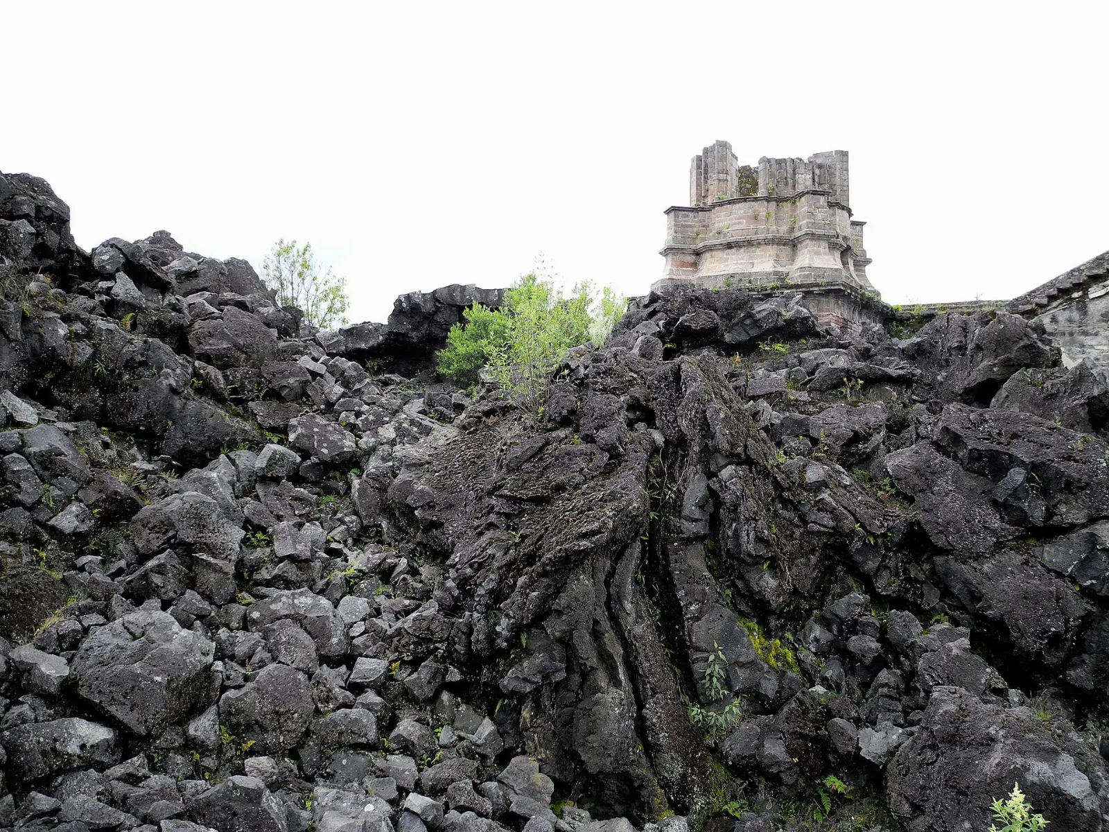
In 1943 a volcano rose from a farmer's cornfield near Uruapan. For nine years Parícutin grew to a cone more than 400 meters high, burying two towns in ash and lava.

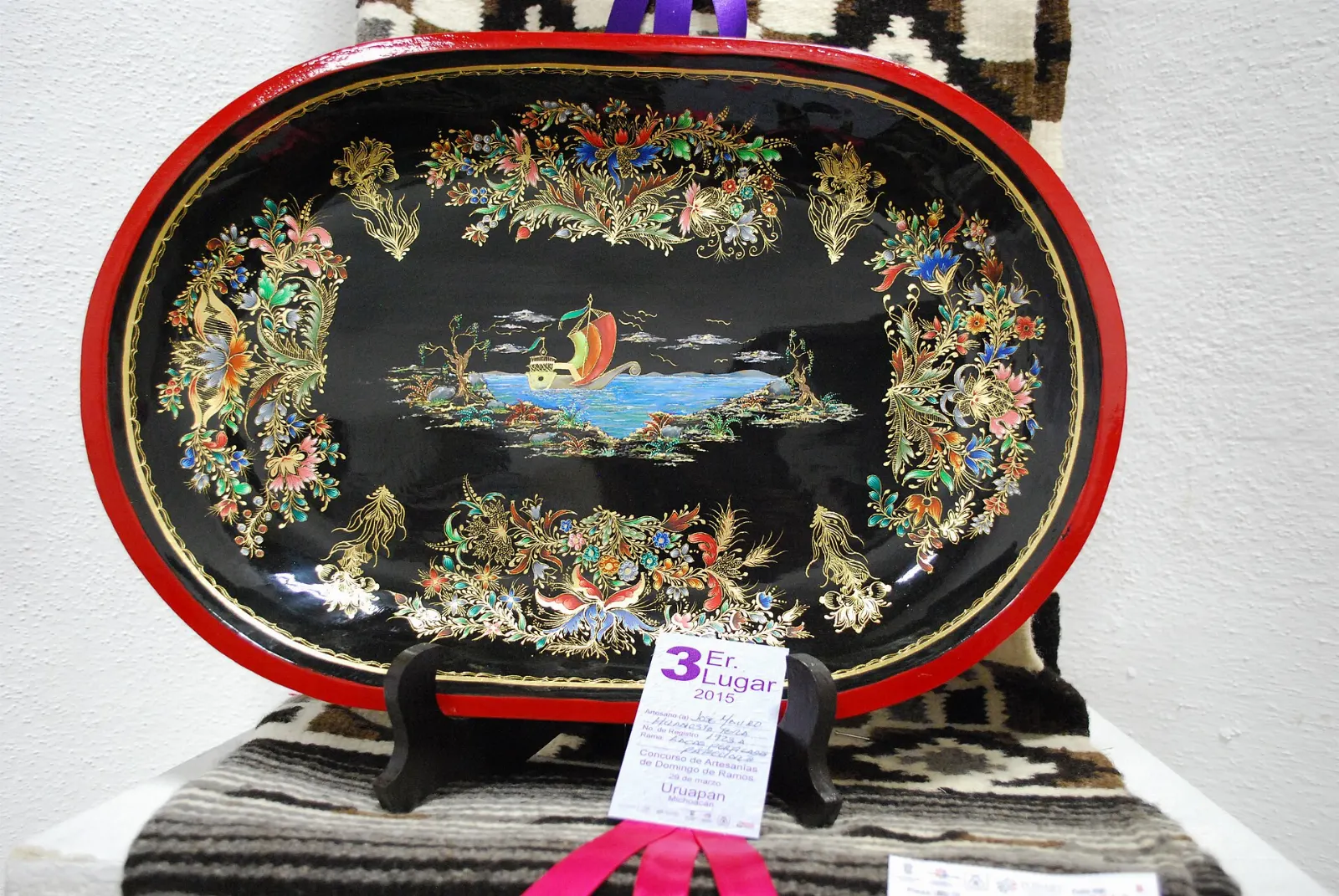
Back in town, the maque tradition is also worth a look. Uruapan has made this Indigenous lacquer since the colonial period, applying it to plates, boxes and gourds, and the Palm Sunday handcraft market during Holy Week fills the main plaza with artisans.

Parícutin rose from a cornfield in 1943 and erupted for nine years. Photo: Karla Yannín Alcázar Quintero (photographer), Wikimedia Commons, CC BY 2.0

Church tower rising from black lava near Parícutin volcano, Uruapan, Michoacán
The ruins of the San Juan Parangaricutiro church stand among hardened lava.Photo: LBM1948, Wikimedia Commons, CC BY-SA 4.0

Food and local flavors

Uruapan's cooking draws on Purépecha traditions and the wider Michoacán table. Carnitas, braised pork fried until crisp at the edges, are a staple, and mutton barbacoa is another regional dish.

Walk behind La Huatápera to the Mercado de Antojitos for carnitas, barbacoa and quesadillas, or try the Mercado Municipal La Charanda for breakfast. Avocado shows up everywhere, and macadamia nuts are a local product too.

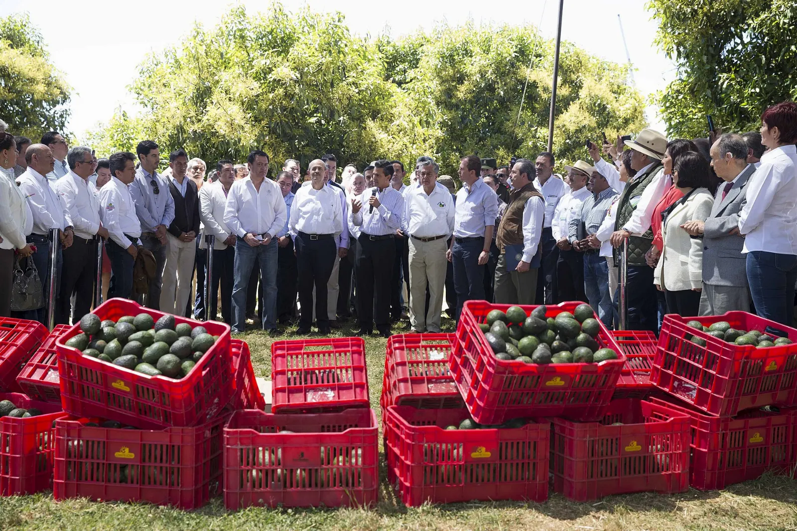
Avocados for sale in a market in Michoacán, Uruapan, Michoacán
Uruapan is the center of Mexico's avocado growing region.Photo: Presidencia de la República Mexicana, Wikimedia Commons, CC BY 2.0

Popular dishes to try in Uruapan

Carnitas in Uruapan, Michoacán
Carnitas Carnitas, braised pork fried until crisp at the edges, are a staple, and mutton barbacoa is another regional dish.Photo: AlejandroLinaresGarcia, Wikimedia Commons, CC BY-SA 4.0
Churipo in Uruapan, Michoacán
Churipo Churipo is a beef and vegetable stew.Photo: AlejandroLinaresGarcia, Wikimedia Commons, CC BY-SA 4.0
Corundas in Uruapan, Michoacán
Corundas Corundas and uchepos are two kinds of corn tamal, the first wrapped in corn leaves and served with crema, the second made from tender corn.Photo: AlejandroLinaresGarcia, Wikimedia Commons, CC BY-SA 4.0

Where to stay

The Centro puts you steps from the Plaza de Mártires, La Huatápera and the markets, with plenty of restaurants nearby. It suits first-time visitors and travelers using buses. Many older hotels here are built around courtyards and are family friendly.

The Barrio de San Miguel is a more local choice, close to the Mercado Municipal La Charanda and the bus routes. It works for travelers who prefer market breakfasts and a neighborhood feel.

Where to stay in Uruapan

Centro, Uruapan, Michoacán
Centro Where to stay The Centro puts you steps from the Plaza de Mártires, La Huatápera and the markets, with plenty of restaurants nearby.Photo: OSISANCHEZ, Wikimedia Commons, CC BY-SA 4.0
Barrio de San Miguel, Uruapan, Michoacán
Barrio de San Miguel The Barrio de San Miguel is a more local choice, close to the Mercado Municipal La Charanda and the bus routes.Photo: Josuemirandazepeda, Wikimedia Commons, CC BY-SA 4.0
Barranca del Cupatitzio, Uruapan, Michoacán
Barranca del Cupatitzio For nature lovers, the streets near the Barranca del Cupatitzio put the national park within a short walk, and some hotels sit right at its entrance.Photo: Ana Beatriz Vega González, Wikimedia Commons, CC BY-SA 4.0

Best time to visit

Uruapan has a humid subtropical climate with very wet summers and dry winters, so the winter months are the most comfortable for hiking and waterfalls. Heavy rain falls in summer, which keeps the hills green but can interrupt plans.

November is a highlight. Day of the Dead brings the Festival de Velas, when candles are arranged into figures in the main plazas, and the Avocado Festival runs from mid November to mid December.

Lacquered wooden bowls decorated in the maque technique, Uruapan, Michoacán
Uruapan has produced maque lacquerware since the colonial period.Photo: Thelmadatter, Wikimedia Commons, CC BY-SA 4.0

Getting there and getting around

Uruapan has a small international airport, though most visitors arrive by road. Motorway 14D connects the city with Morelia, and motorway 37D links it with Zamora and Lázaro Cárdenas. From Mexico City or Guadalajara, plan on going through Morelia or Zamora.

Taxis are plentiful, and your hotel can call one for you. Ride-hailing apps also work in the city. Combis serve nearby villages, including Tingambato and Puruarán.

A suggested itinerary

First day

Start in the Barranca del Cupatitzio while the paths are quiet, then walk to the Plaza de Mártires.

Second day

Spend the morning at Tzaráracua. Return for lunch and the Fábrica San Pedro, then finish with a walk past the narrowest house and an evening on the plaza.

Third day

Head to Angahuan and Parícutin for a full day on the lava fields, returning to Uruapan for dinner.

Practical tips

  • Check your government's current travel advisory before you go.
  • Wear sturdy shoes for the national park paths and the stairs to Tzaráracua.
  • Carry rain gear in summer, which is the wet season.
  • Bring cash for markets, park entry and horse rides.
  • Ask your hotel to recommend a taxi service for day trips to the falls and the volcano.
UruapanWISERMAP PLACEUruapan: photos, reviews & things to doSee traveler photos and reviews, or share your own →

More places to visit

All travel guides →