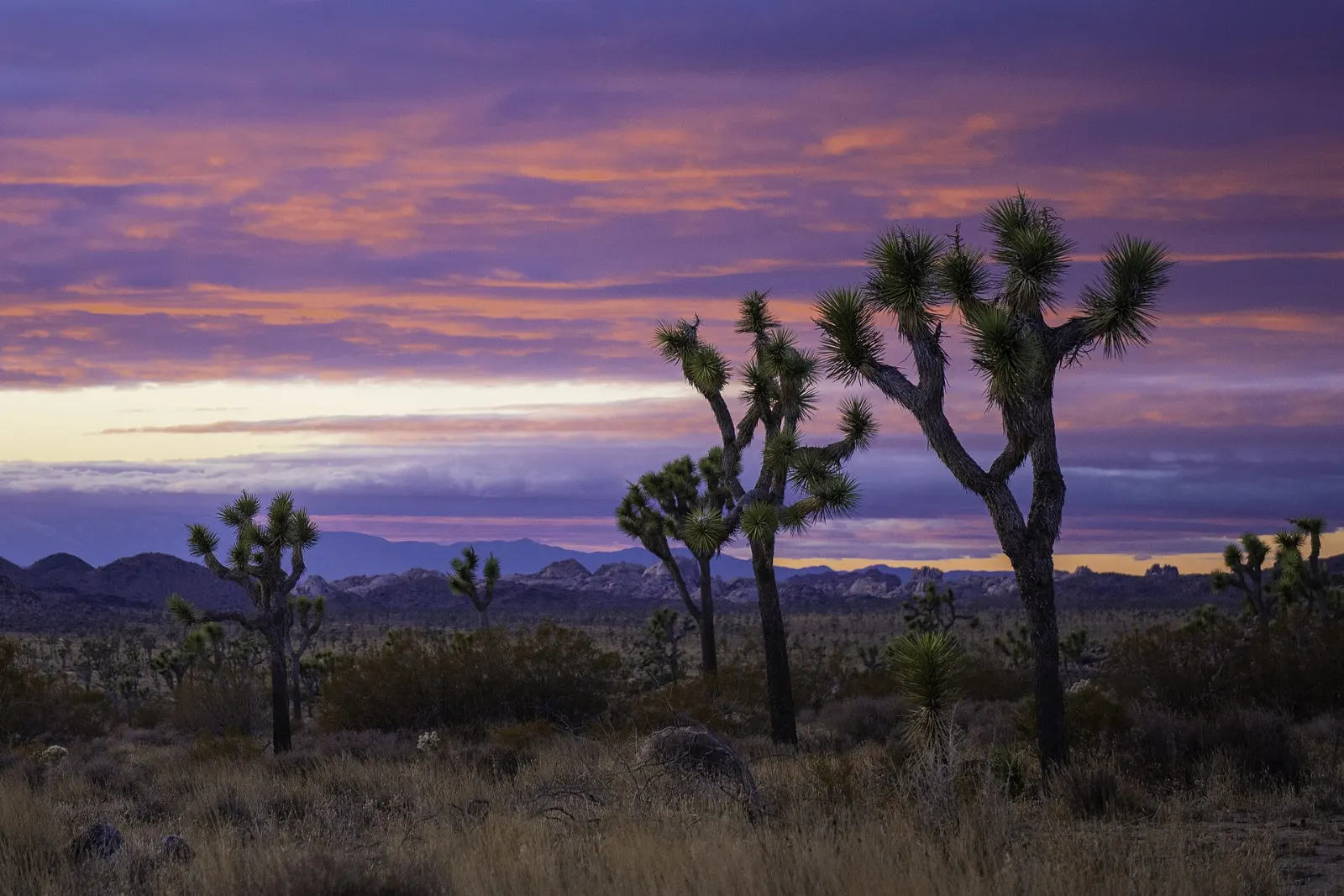
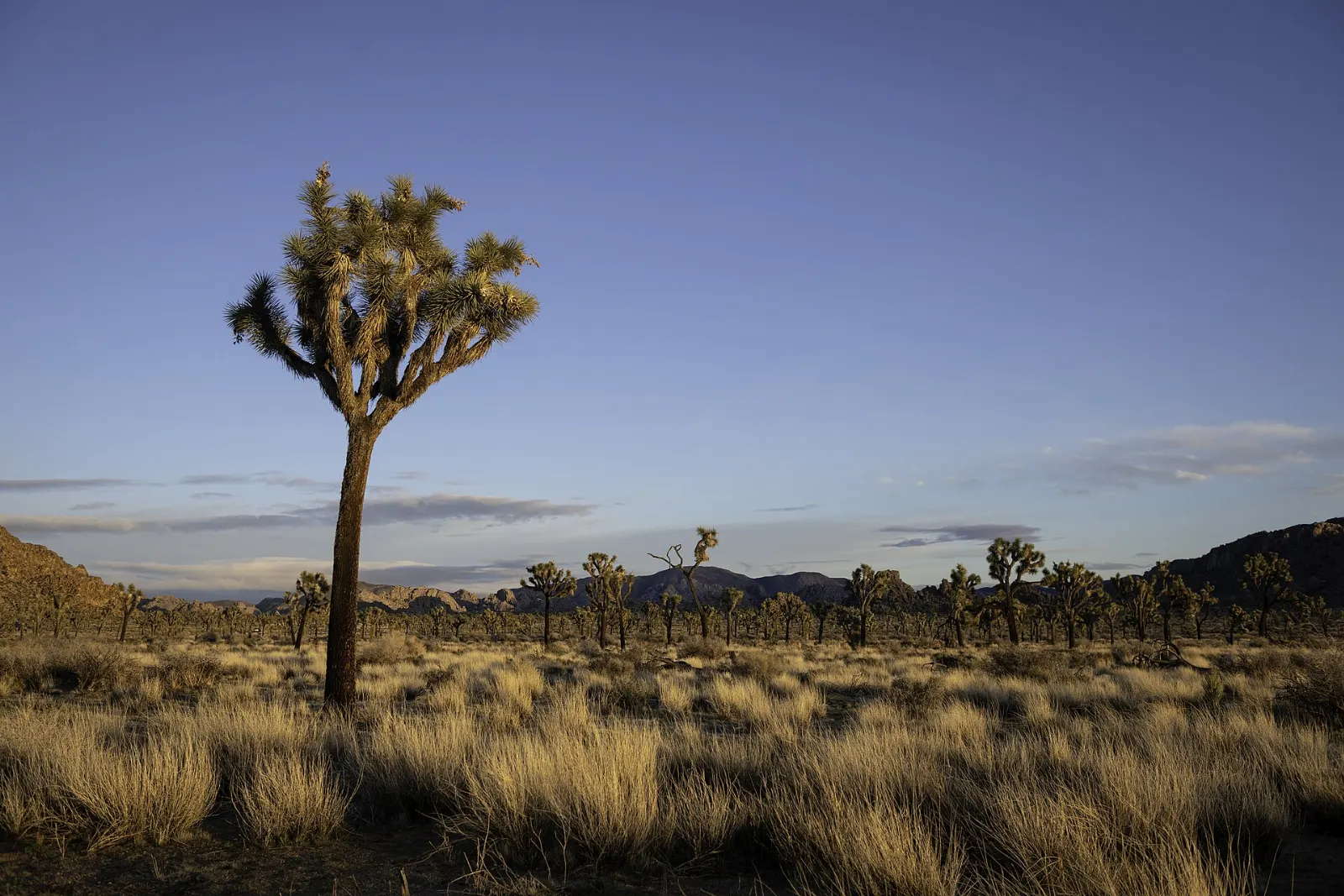
Joshua Tree National Park feels like a landscape assembled from spare parts: shaggy, many-armed trees, piles of honey-colored granite stacked like giant marbles, and wide valleys that glow orange at sunset.
AT A GLANCE
Best time
March to May and October to November for mild days; winter is cool and quiet.
How long
Two full days for the main sights; three or more for hiking, climbing and stargazing.
Getting there
Drive via Interstate 10 and State Route 62; Palm Springs is the closest airport.
Why visit Joshua Tree National Park
Protected as a national monument in 1936 and upgraded to a national park in 1994, Joshua Tree covers nearly 800,000 acres. Above roughly 3,000 feet, the western half belongs to the Mojave Desert and is home to the Joshua tree itself, a yucca that settlers are said to have named after the biblical Joshua raising his arms.
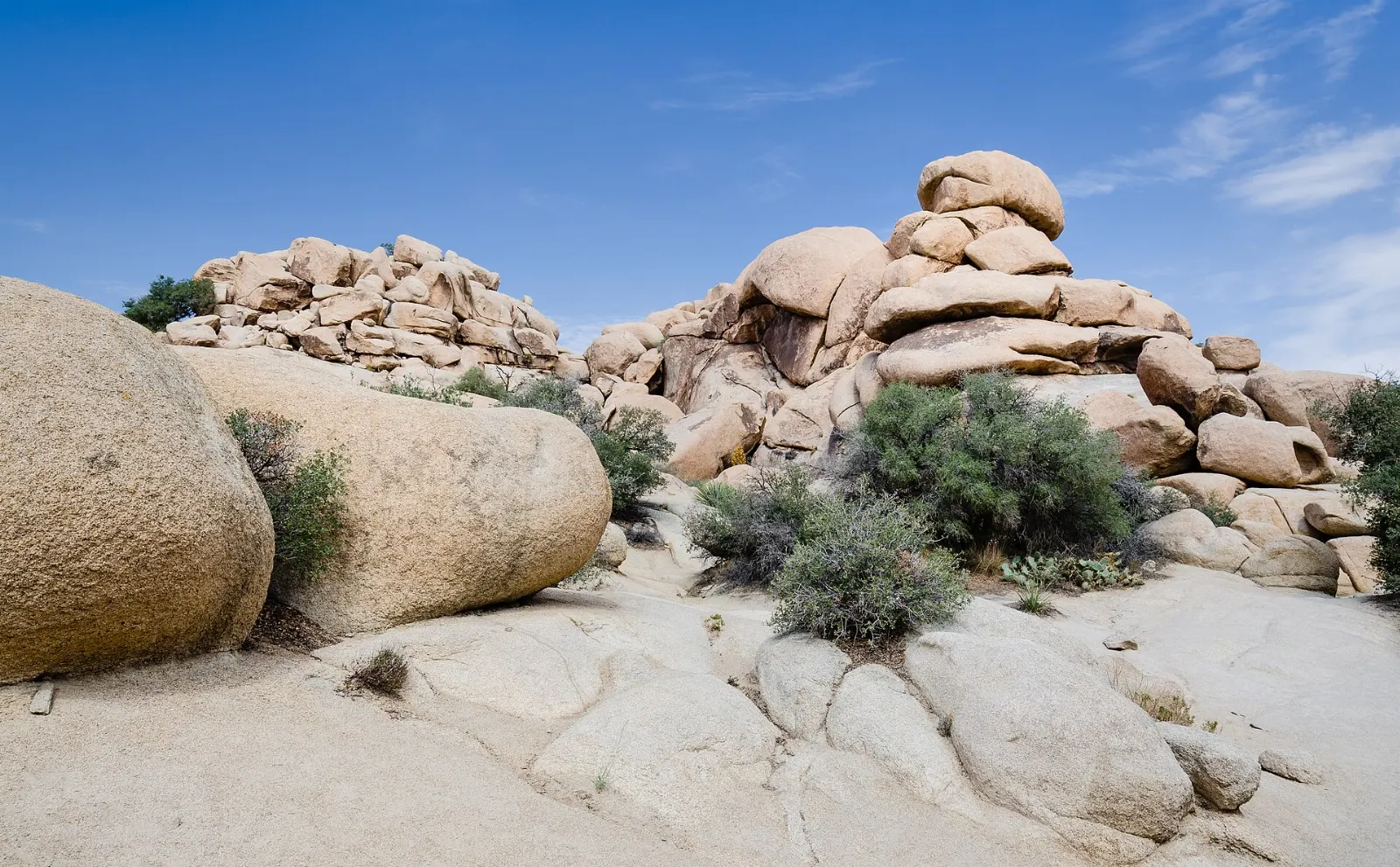
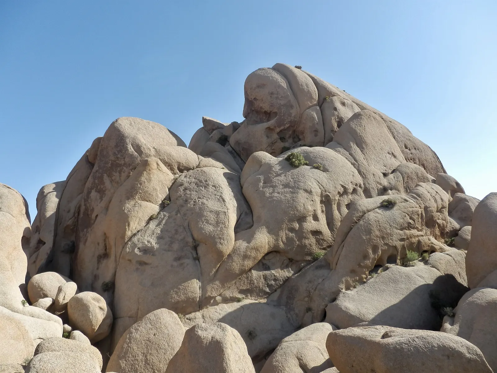
The granite is the other star. Formed deep underground millions of years ago and slowly exposed by erosion, it weathered into domes, towers and rounded boulders that make the park one of the best-known rock climbing areas in the world, with thousands of routes and boulder problems.
Hidden Valley, Keys View and the western park
Hidden Valley
A short loop of about a mile threads through a basin almost completely enclosed by rock walls.
Allow an hour. The picnic area fills by mid-morning on weekends, so arrive early or late in the day.
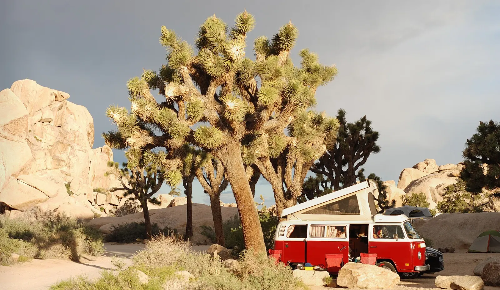
Barker Dam
Around 1900 the cattleman C. O. Barker built a dam to catch rainwater between the boulders, and the rancher Bill Keys later raised it. After wet winters the reservoir holds water that attracts birds and, at dawn, sometimes bighorn sheep.
Give it an hour. Do not touch the petroglyphs, and expect the pool to be dry in drought years.
Keys Ranch
Bill Keys built the Desert Queen Ranch over decades, raising a family in this remote corner of the desert and salvaging everything from machinery to old cars.
Keys View
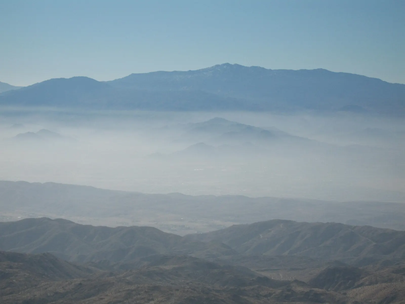
A paved road climbs to this overlook at about 5,185 feet on the crest of the Little San Bernardino Mountains.
Allow thirty minutes plus driving time. Bring a jacket; it is often windy and cooler than the valley floor.
Lost Horse Mine
Between 1894 and 1931 this was one of the most productive gold mines in the region, first worked by Johnny Lang and later by J. D. Ryan.
Ryan Mountain
For the best summit view in the park, climb Ryan Mountain. The trail gains about 1,050 feet in 1.5 miles, a steady staircase of stone steps to a peak of 5,456 feet with panoramas over Lost Horse, Queen and Pleasant valleys.
Jumbo Rocks, Skull Rock and the heart of the park
Skull Rock and Jumbo Rocks
East of Ryan Mountain, Park Boulevard winds through Jumbo Rocks, a jumble of enormous rounded boulders with a popular campground tucked among them.
Allow thirty minutes for a quick look or an hour and a half for the loop. Parking is limited, so use the pullouts carefully and never park on vegetation.
Arch Rock
Near White Tank Campground, an easy trail of well under a mile leads to a graceful natural arch of pale granite.
Wonderland of Rocks and the Geology Tour Road
North of the main road, the Wonderland of Rocks is a maze of granite domes and hidden washes that tempts experienced hikers and climbers. Most visitors see its edges from Barker Dam or the trails near Indian Cove.
The Colorado Desert and the palm oases
Cholla Cactus Garden
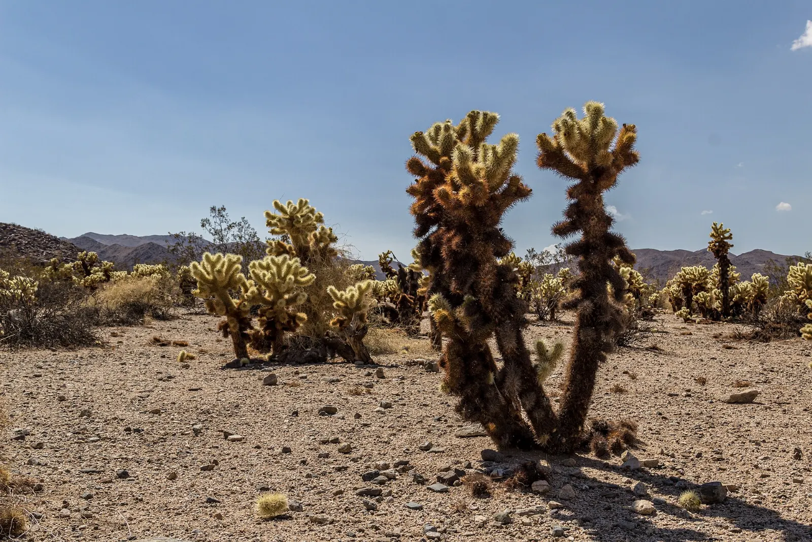
Pinto Basin Road descends from the Joshua tree country into the Colorado Desert, and halfway down you reach a startling field of teddybear cholla.
A little farther south, the Ocotillo Patch shows off spindly ocotillo stems that burst into scarlet flowers after spring rains.
Cottonwood Spring and Lost Palms Oasis
Near the south entrance, Cottonwood Spring is a small oasis of cottonwoods and fan palms that draws birds in large numbers.
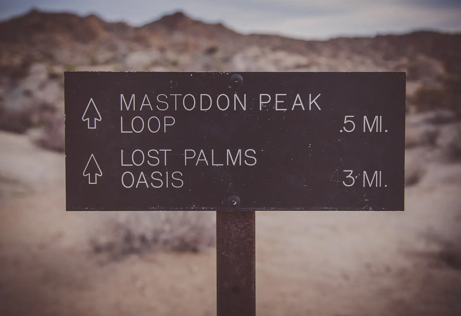
Fortynine Palms Oasis
On the north edge of the park, reached from a separate trailhead off State Route 62 near Twentynine Palms, a trail of about three miles round trip climbs over a ridge and down to a cluster of fan palms around pools of water.
 Planning a trip to Joshua Tree National Park?Compare hotels, flights and vacation rentals for Joshua Tree National Park on Expedia.Book now
Food and local flavors
There are no restaurants inside the park, so you will eat in the gateway towns along State Route 62.
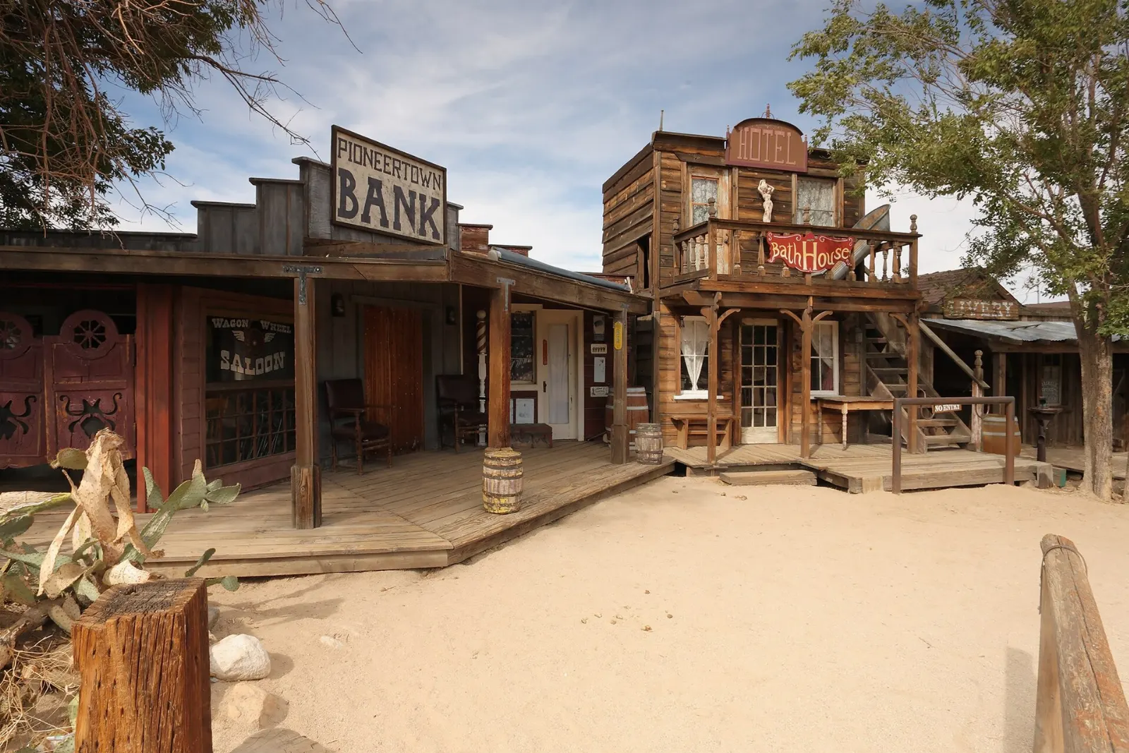
For a memorable night, drive up to Pioneertown, an Old West film set built in 1946, where Pappy and Harriet's is known for barbecue and live music on its outdoor stage.
Pack a cooler for long park days: picnic tables at Hidden Valley, Cottonwood and other areas make lunch with a view easy.
Popular dishes to try in Joshua Tree National Park


Where to stay
Inside the park, nine campgrounds range from Jumbo Rocks and Hidden Valley among the boulders to Cottonwood in the south.
Joshua Tree village sits beside the West Entrance and suits hikers and climbers who want the shortest drive to Hidden Valley and Keys View. It is full of desert cabins, artist homes and vacation rentals.
Twentynine Palms is the base for the North Entrance and the Cholla Cactus Garden, with more motels and generally good value.
Yucca Valley and Pioneertown suit travelers who want design-led rentals, restaurants and a little nightlife.
Where to stay in Joshua Tree National Park


Best time to visit
Spring is the peak season.
Fall, from October to November, brings similar temperatures with fewer people. Winter days are cool and sunny, but nights fall below freezing and snow occasionally dusts the higher areas, which makes for rare and beautiful photographs.
Getting there and getting around
The park is about 140 miles east of Los Angeles. From the west, take Interstate 10 to State Route 62, also called Twentynine Palms Highway, which leads to the West Entrance in Joshua Tree village and the North Entrance in Twentynine Palms.
There is no public transportation in the park, so you need a car. Park Boulevard links the West and North entrances through the Joshua tree country, and Pinto Basin Road runs south to Cottonwood.
A suggested itinerary
First day
Enter through the West Entrance soon after sunrise and walk the Hidden Valley loop, then continue to Barker Dam.
Second day
Climb Ryan Mountain early, then drive east to Skull Rock and explore Jumbo Rocks. In the afternoon, take Pinto Basin Road to the Cholla Cactus Garden for golden light, then stop at Arch Rock on the way back.
Third day
Hike to Fortynine Palms Oasis in the morning, or head south to Cottonwood Spring and Lost Palms Oasis if you are ready for a longer trek. Finish with an evening in Pioneertown, with music and a barbecue dinner.
Practical tips
- Carry at least a gallon of water per person per day; water is only available at a few visitor centers and campgrounds.
- Download offline maps before you go, as cell coverage is patchy or absent.
- Reserve campsites early for spring and fall weekends, especially at Jumbo Rocks and Indian Cove.
- Stay on trails and never climb on Joshua trees; their roots and branches break easily.
- Keep a safe distance from cholla, and carry a comb to flick away segments that latch on.
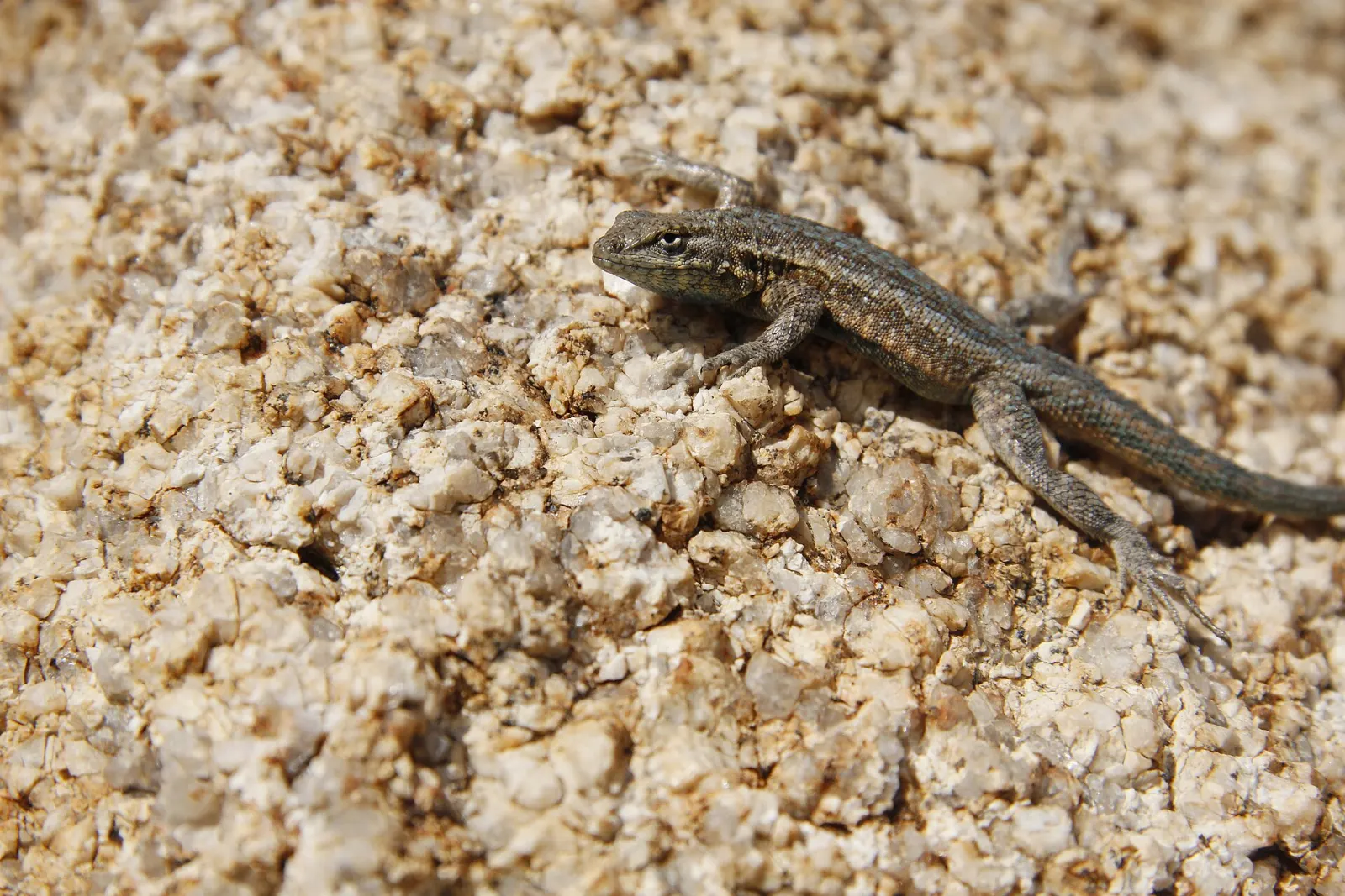
- Do not feed wildlife, and watch for rattlesnakes and desert tortoises on warm days.
Find local businesses in Joshua Tree on WiserMap
Need a breakfast spot, gear shop, climbing guide or a place to stay near the West Entrance?