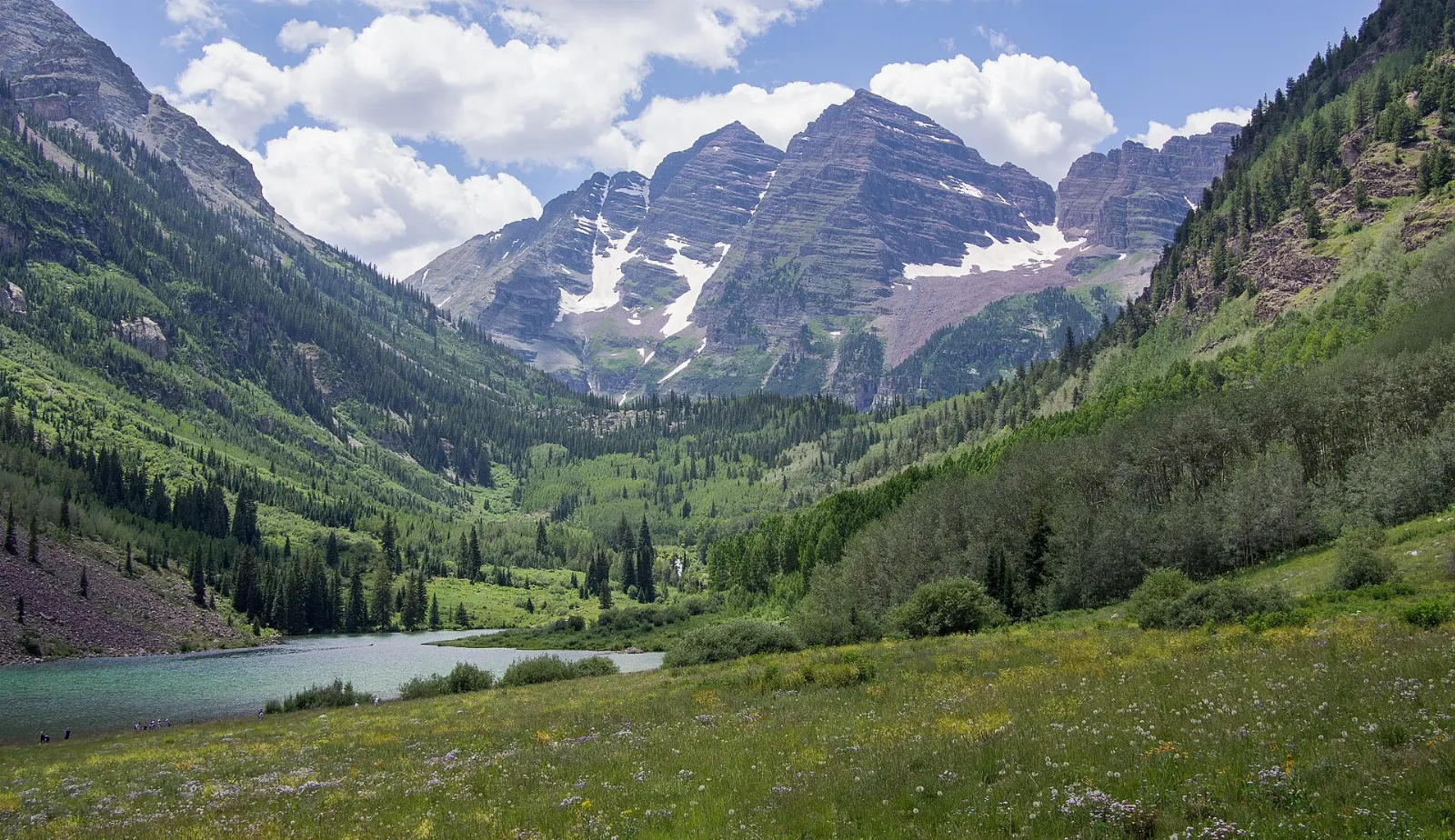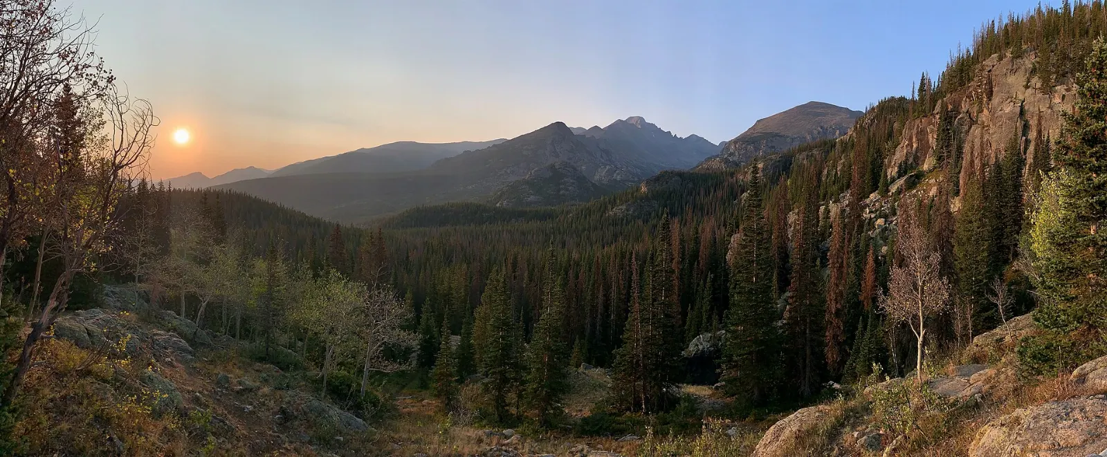
Rocky Mountain National Park protects some of the highest and most varied terrain in the American West: glacier-carved valleys full of elk, alpine lakes beneath granite walls, and a vast expanse of tundra crossed by the highest continuous paved road in the country.
AT A GLANCE
Best time
Late June to early October, when Trail Ridge Road is open; late September for elk and gold aspens.
How long
Three to four days to cover both sides of the park.
Getting there
Fly into Denver and drive to Estes Park; reserve a timed entry permit in season.
Why visit Rocky Mountain National Park
Few places let you move through so many ecosystems in a single day. On the east side, ponderosa pine forests and open montane meadows give way to subalpine forests of spruce and fir, and then, above about 11,000 feet, to alpine tundra that resembles the Arctic.
The wildlife is a major draw. Elk graze in the meadows near Estes Park and fill the valleys with bugling during the autumn rut, bighorn sheep gather near Sheep Lakes, marmots and pikas live among the tundra rocks, and moose browse in the willows of the Kawuneeche Valley.
Bear Lake Road and the alpine lakes
Bear Lake Road winds about ten miles from the Beaver Meadows Entrance area to Bear Lake, passing some of the park's most famous trailheads. It is the busiest corridor in the park, and in the main season it requires a dedicated timed entry permit or use of the park shuttle.
Bear Lake
The road ends at Bear Lake, a subalpine lake with views of Hallett Peak and Longs Peak. A flat, roughly half-mile loop circles the shore, with interpretive signs about the forest.
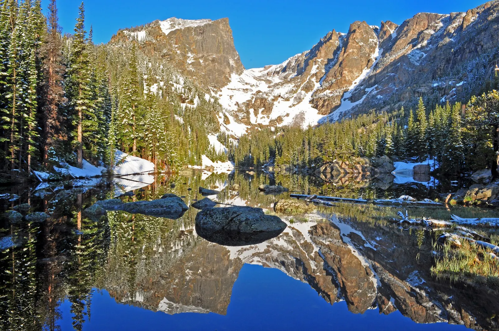
Nymph, Dream and Emerald Lakes
From Bear Lake, one of the park's most popular trails climbs gently to three lakes in about 1.8 miles one way.
Alberta Falls and Glacier Gorge
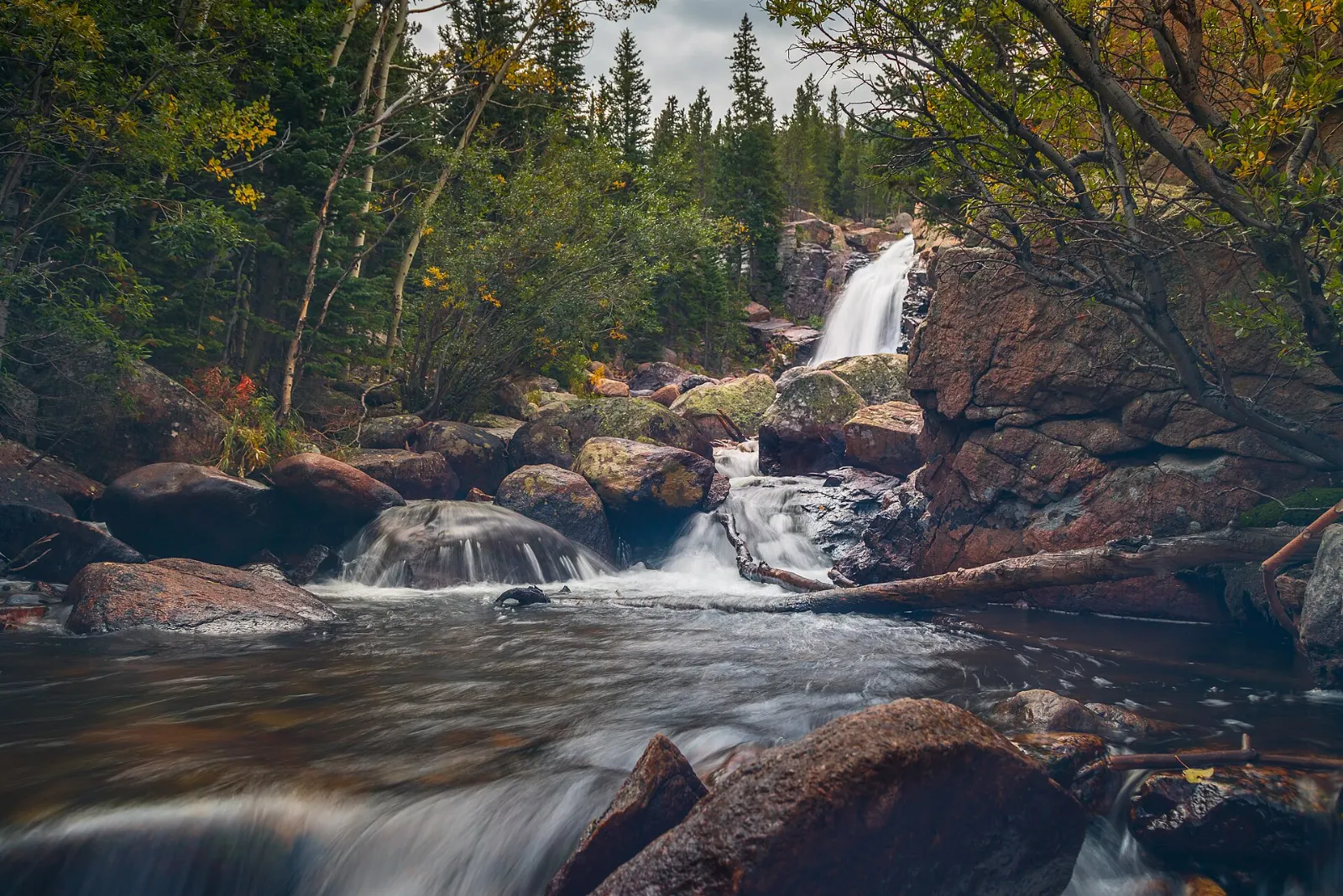
From the Glacier Gorge Trailhead, a short, steady walk of under a mile leads to Alberta Falls, a powerful cascade along Glacier Creek. Allow an hour and a half for the round trip.
Sprague Lake
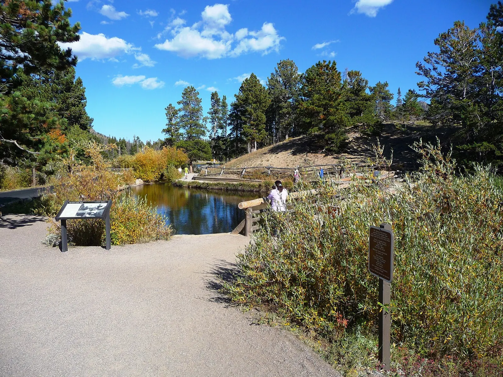
Closer to the start of Bear Lake Road, Sprague Lake offers one of the easiest and most scenic walks in the park. A flat, accessible loop of about half a mile circles the lake, with mirror-like views of the Continental Divide on calm mornings.
Meadows, wildlife and the east side
The broad valleys near the eastern entrances are the best places to watch wildlife and to enjoy the park's scenery with little effort.
Moraine Park
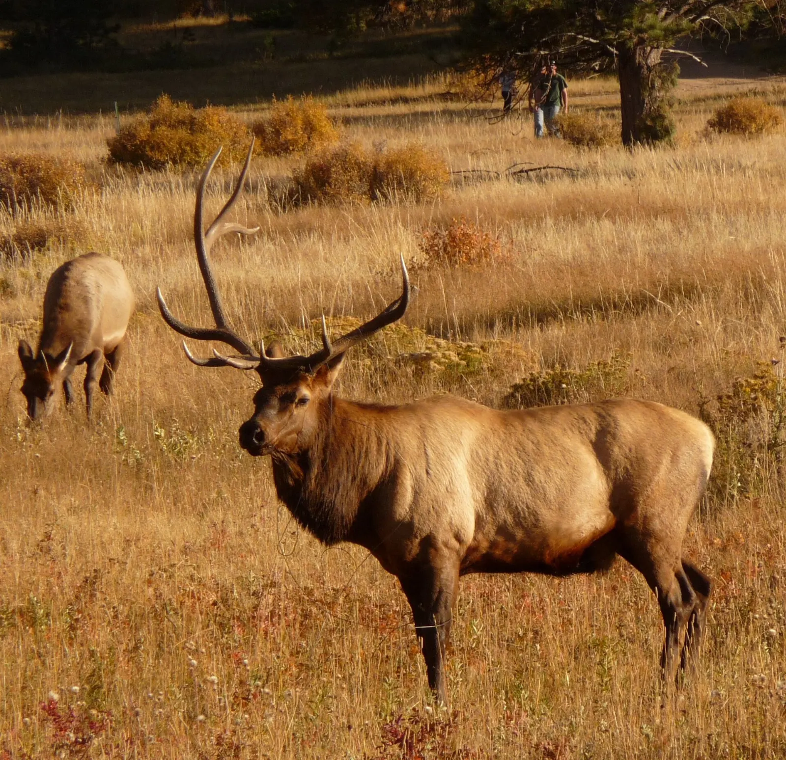
Moraine Park is a wide valley floor framed by glacial moraines, with the Big Thompson River winding through grasslands. It is one of the most reliable places to see elk, especially at dawn and dusk.
Horseshoe Park and Sheep Lakes
Near the Fall River Entrance, Horseshoe Park is another open meadow where elk often graze. At Sheep Lakes, bighorn sheep come down from the mountains to lick minerals, most often from May to mid-August.
Wild Basin
In the southeast corner of the park, Wild Basin is quieter than the Bear Lake area, with a trail that follows the North St. Vrain Creek past Copeland Falls and Calypso Cascades to Ouzel Falls.
Trail Ridge Road and the west side
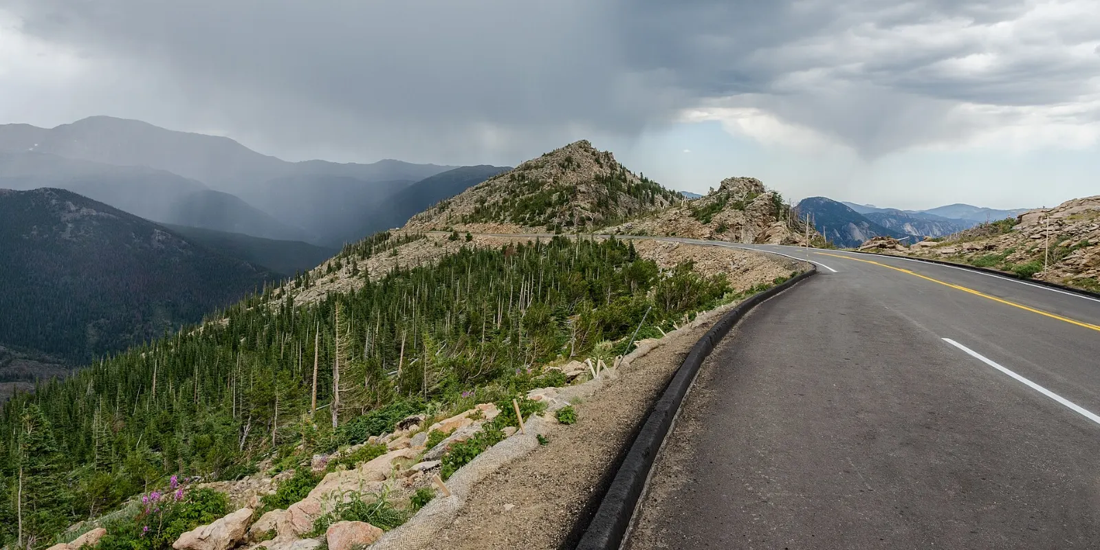
Trail Ridge Road links Estes Park on the east to Grand Lake on the west, climbing to a high point of 12,183 feet.
Trail Ridge Road overlooks
The drive is the highlight of many visits. Stop at Many Parks Curve for views over the eastern valleys, Forest Canyon Overlook for a look into a deep glacial valley, and Rock Cut, where the short Tundra Communities Trail climbs to rock formations and interpretive signs about alpine plants.
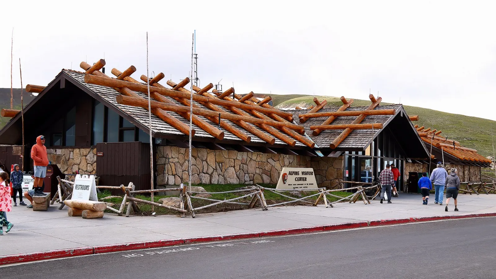
Alpine Visitor Center
At Fall River Pass, nearly 11,800 feet above sea level, the Alpine Visitor Center has exhibits on tundra life, a gift shop and a cafe. Behind it, the steep Alpine Ridge Trail climbs a short distance to a viewpoint above 12,000 feet.
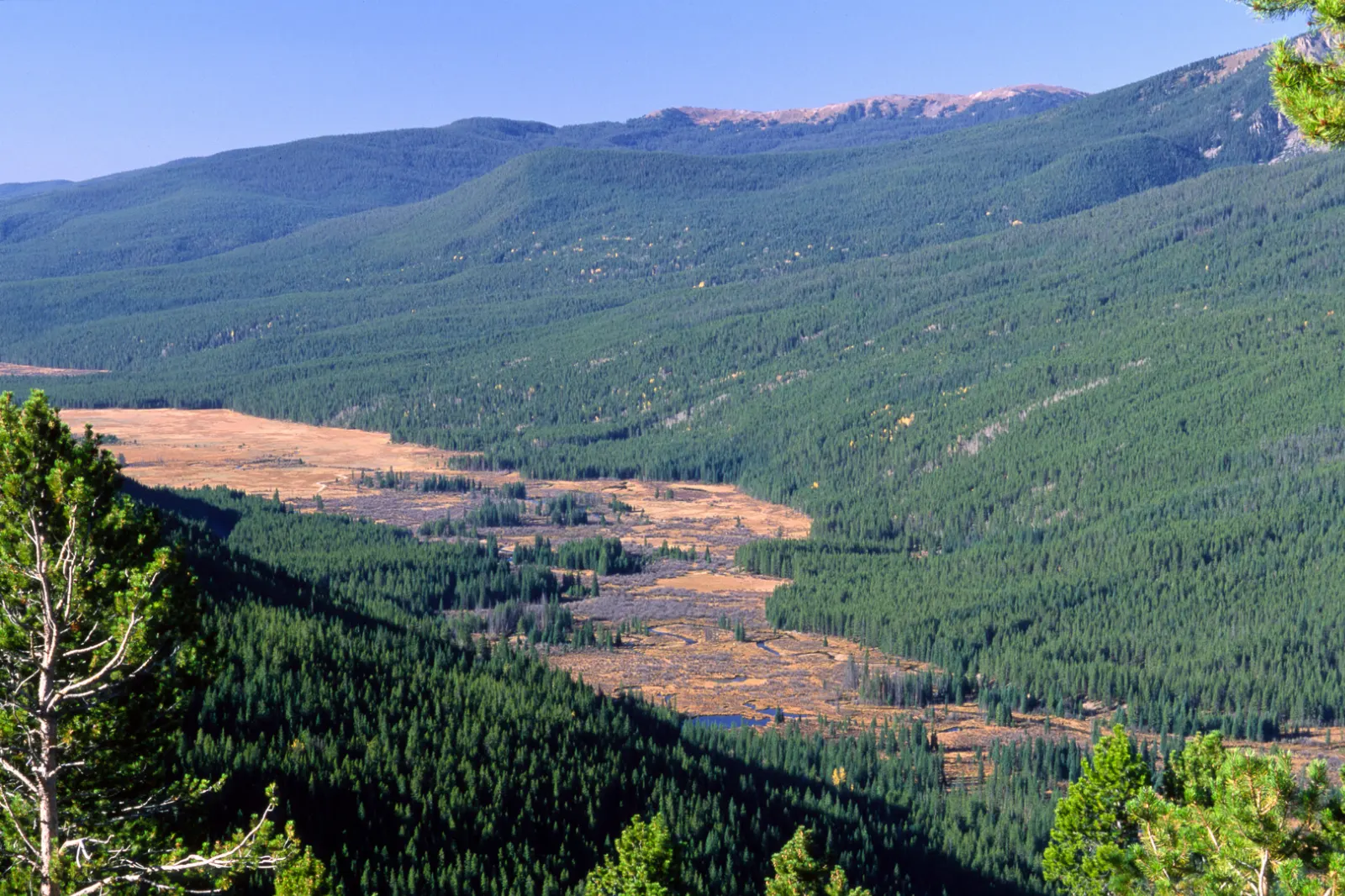
Kawuneeche Valley
On the west side of the Continental Divide, the Kawuneeche Valley follows the young Colorado River through meadows and willow thickets. Moose are often seen here, particularly in the early morning and evening.
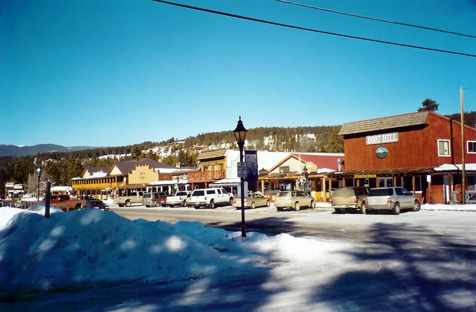
Grand Lake
Just outside the park's western entrance, the town of Grand Lake sits beside the largest natural lake in Colorado. Its wooden boardwalk is lined with shops and cafes, and you can rent boats or paddleboards in summer.
 Planning a trip to Rocky Mountain National Park?Compare hotels, flights and vacation rentals for Rocky Mountain National Park on Expedia.Book now
Food and local flavors
Food service inside the park is very limited, with seasonal snacks and simple meals mainly at the Trail Ridge Store next to the Alpine Visitor Center.
Estes Park, the main gateway town, has a lively downtown along Elkhorn Avenue with family restaurants, bakeries, candy shops known for saltwater taffy, and local breweries.
Popular dishes to try in Rocky Mountain National Park


Where to stay
Estes Park is the most convenient base for first-time visitors, with the widest choice of lodging, restaurants and services, and quick access to Bear Lake Road and the Beaver Meadows and Fall River entrances. Grand Lake on the west side is quieter and suits travelers who want moose-watching, lakeside relaxation and fewer crowds. Inside the park, several campgrounds, including Moraine Park, Glacier Basin, Aspenglen and Timber Creek, offer a chance to wake up among the meadows; reservations open well in advance and sell out quickly.
Where to stay in Rocky Mountain National Park


Best time to visit
Summer, from late June through August, is peak season. Trail Ridge Road and most high trails are open, wildflowers bloom on the tundra in July, and every service is running.
From late October to late May, Trail Ridge Road is closed beyond Many Parks Curve on the east side and Colorado River Trailhead on the west, but the lower park remains open.
Getting there and getting around
Denver International Airport is the main gateway, roughly a two-hour drive from Estes Park via the Front Range and US Highway 36 or US Highway 34. The west side is reached via Granby and US Highway 34 to Grand Lake.
From roughly late May through mid-October, the park uses a timed entry permit system. In 2026, there are two permit types: one for the Bear Lake Road corridor, which covers a longer daily window, and one for the rest of the park.
A suggested itinerary
First day
Arrive in Estes Park and ease into the altitude.
Second day
Enter early with a Bear Lake Road permit or take the shuttle. Walk the Bear Lake loop, then hike to Nymph, Dream and Emerald Lakes.
Third day
Drive Trail Ridge Road from east to west, stopping at Many Parks Curve, Forest Canyon Overlook, Rock Cut and the Alpine Visitor Center.
Fourth day
Walk to Adams Falls in the morning and enjoy the lake before driving back over Trail Ridge Road to the east side.
Practical tips
- Reserve your timed entry permit as soon as your dates are released, or plan to enter before the permit window begins.
- Start hikes at dawn in summer and turn back if storm clouds build; lightning above treeline is a serious danger.
- Drink plenty of water and acclimatize for a day in Estes Park before hiking high trails.
- Pack layers, a rain jacket, a hat and gloves even in July, as the tundra can be cold and windy.
- Keep a safe distance from wildlife, and never feed animals, including chipmunks and birds.
- Use bear-resistant storage when camping and never leave food in your vehicle overnight.
- Cell service is limited in much of the park, so download maps before you arrive.
Find local businesses in Estes Park on WiserMap
Need gear rentals, a guide or a place to eat after a day on the trails?