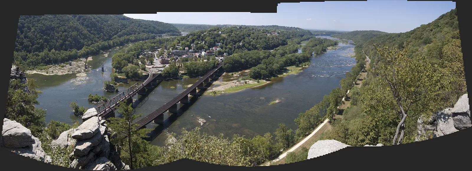
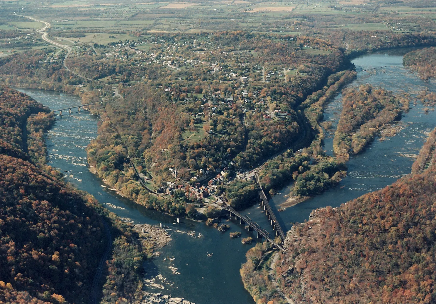
Harpers Ferry is a tiny town with a huge story. It sits on a point of land in the far eastern corner of West Virginia where the Shenandoah River flows into the Potomac, and where West Virginia, Maryland and Virginia meet.
AT A GLANCE
Best time
April to early June and mid-September to early November for mild weather and color.
How long
One full day for Lower Town and a hike; two days to add rivers and Antietam.
Getting there
About ninety minutes by car from Washington, DC via US 340, or by MARC or Amtrak train.
Why visit Harpers Ferry
Few places in the United States hold as much history in so small a space. Within a few blocks you can stand where John Brown and his followers barricaded themselves in an engine house, walk streets that changed hands repeatedly during the Civil War, and visit the campus where W. E. B. Du Bois and the Niagara Movement gathered in 1906 to demand civil rights.
The setting is just as memorable. Thomas Jefferson, after viewing the meeting of the rivers from a rock above town, wrote that the scene was worth a voyage across the Atlantic.
Lower Town and the river point
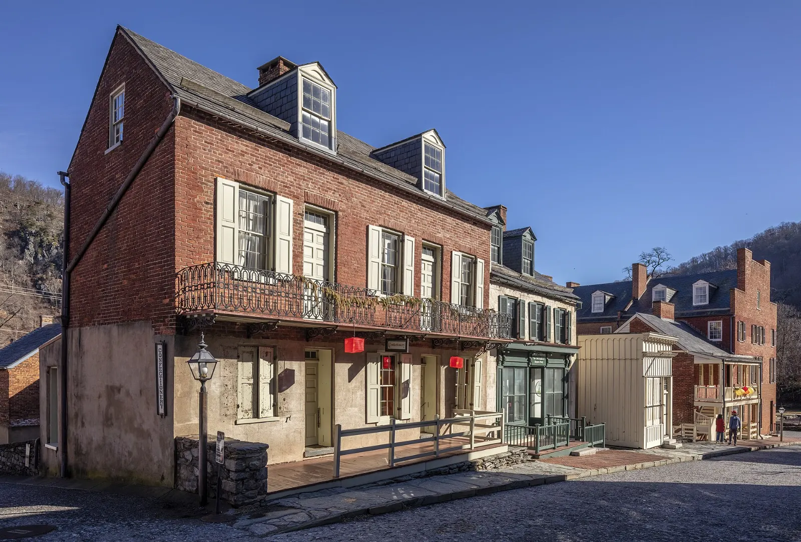
Lower Town, the flat area at the tip of the point, is the historic core of the park. Most buildings along Shenandoah, High and Potomac Streets hold free exhibits once you have paid the park entrance fee.
The Point
At the very end of town, a small plaza looks out over the confluence of the Shenandoah and Potomac.
John Brown's Fort
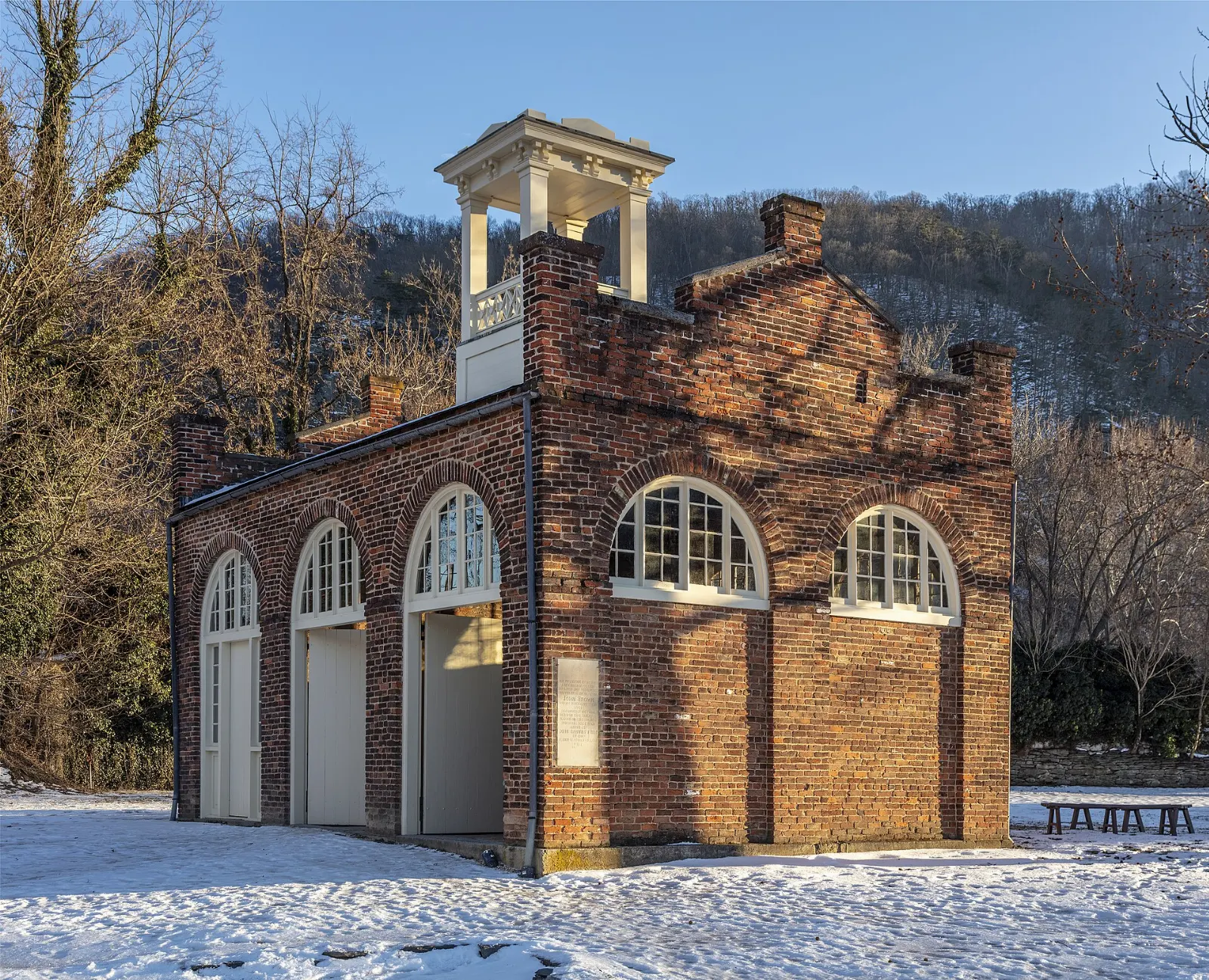
Built in 1848 as the armory's fire engine and guard house, this small brick building became the refuge of John Brown and his men during their October 1859 raid, when they hoped to seize weapons and spark an uprising against slavery.
Shenandoah Street museums
Along Shenandoah Street and the side streets, restored buildings hold exhibits on the armory and the industrial town, Civil War Harpers Ferry, African American history, and everyday life in the nineteenth century, including a recreated dry goods store and a blacksmith shop.
Virginius Island
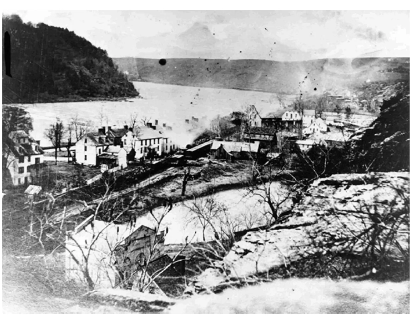
A short, flat trail from Lower Town follows the Shenandoah to Virginius Island, once a busy industrial community of mills, a cotton factory and workers' homes. Floods eventually destroyed it, and today stone foundations and old raceways sit among sycamores beside the river.
The hillside, Camp Hill and the Appalachian Trail
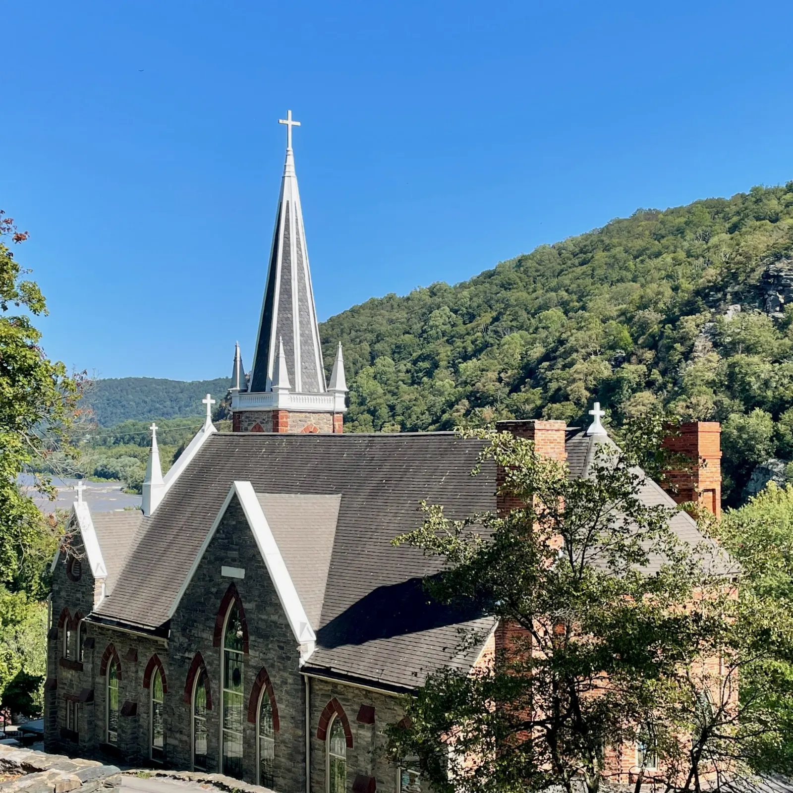
Stone Steps and St. Peter's Church
From High Street, a set of stone steps carved into the hillside climbs toward the upper town, passing the Harper House, one of the oldest surviving buildings in town.
Jefferson Rock
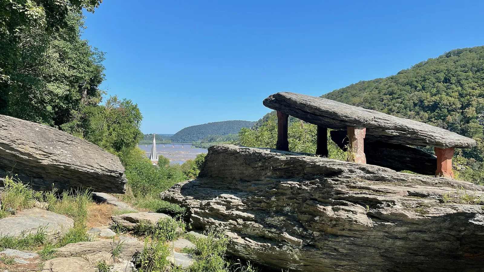
A short path from St. Peter's leads along the Appalachian Trail to Jefferson Rock, a stack of large shale slabs overlooking the Shenandoah just before it joins the Potomac. Thomas Jefferson stood here in 1783, and the view still sweeps over the rivers and the ridges beyond.
Appalachian Trail Conservancy headquarters
The Appalachian Trail runs right through Harpers Ferry, and the Appalachian Trail Conservancy has its headquarters and visitor center on Washington Street in the upper town. Hikers walking the whole trail traditionally stop here to have their photograph taken and to check in, as the town is often considered the trail's psychological halfway point.
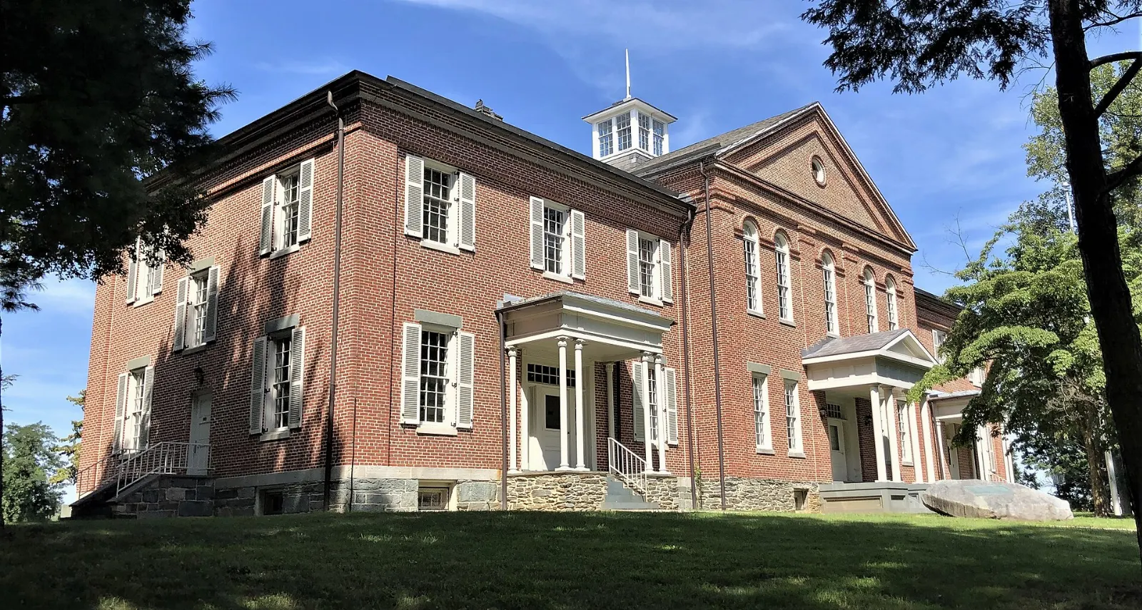
Storer College on Camp Hill
Founded in 1867 to educate formerly enslaved people, Storer College grew into an important African American institution until it closed in the 1950s. In 1906 it hosted a meeting of the Niagara Movement, a forerunner of the NAACP.
Heights, rivers and nearby battlefields
Maryland Heights and the Potomac footbridge
For the classic view of Harpers Ferry, cross the Potomac on the footbridge that runs beside the railroad bridge, which carries the Appalachian Trail into Maryland.
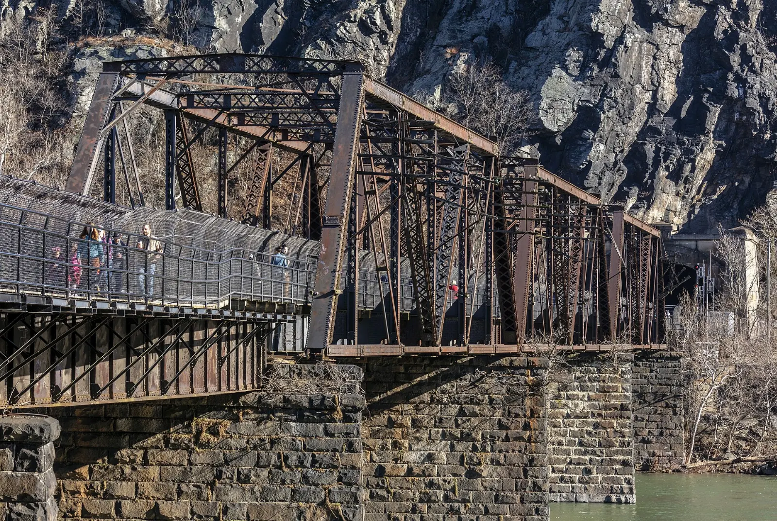
C&O Canal Towpath
On the Maryland side of the footbridge, the towpath of the Chesapeake and Ohio Canal follows the Potomac for many miles in both directions. It is flat, shaded and ideal for an easy walk or bike ride, with old canal locks and river views.
Tubing, rafting and paddling
In summer, local outfitters run tubing trips on the gentle stretches of the Shenandoah and the Potomac, plus guided whitewater rafting and kayaking on rapids near town. These trips are a highlight for families and groups.
Bolivar Heights and Antietam
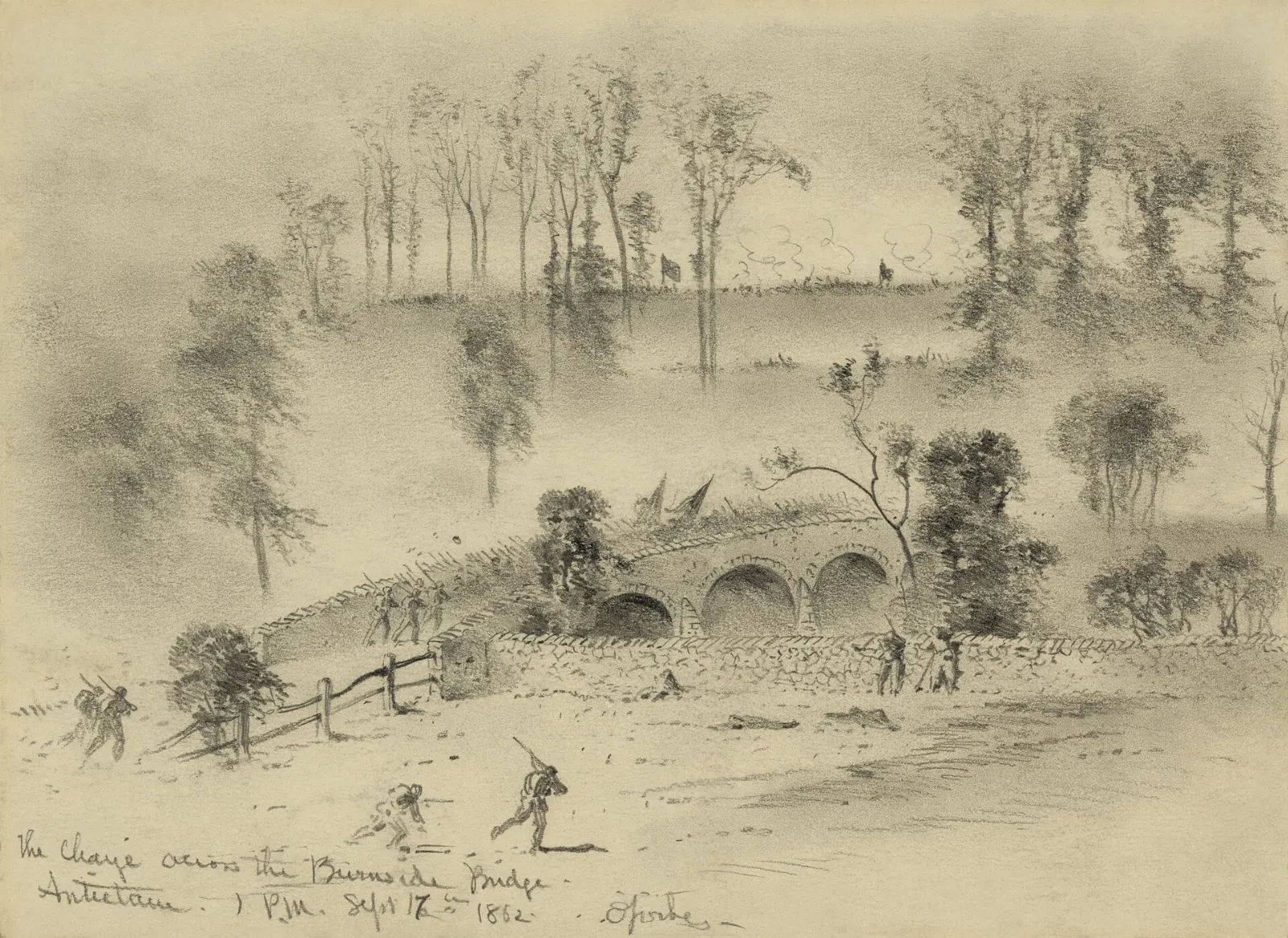
West of town, Bolivar Heights preserves the high ground where Union troops defended Harpers Ferry in September 1862 before surrendering to Stonewall Jackson in one of the largest captures of US troops during the Civil War. Short trails and markers explain the battle.
 Planning a trip to Harpers Ferry?Compare hotels, flights and vacation rentals for Harpers Ferry on Expedia.Book now
Food and local flavors
Harpers Ferry is small, so dining is mostly casual: sandwich shops, ice cream counters and cafes in Lower Town around High and Potomac Streets, and a few sit-down restaurants and taverns up on Washington Street and in neighboring Bolivar.
For more choice, drive about twenty minutes to Shepherdstown, a college town with a lively main street of restaurants and cafes, or to Charles Town for a wider range of dining.
Popular dishes to try in Harpers Ferry


Where to stay
Staying in historic Harpers Ferry itself means bed and breakfasts and small inns in old houses on the hillside and along Washington Street. This suits couples and history lovers who want to walk to Lower Town in the quiet early morning and evening, after day visitors have left.
Bolivar, just uphill, has a few more inns and rentals within walking distance. Campgrounds and cabins along US 340 near the river are popular with families and paddlers.
Where to stay in Harpers Ferry


Best time to visit
Spring, from April to early June, brings redbuds and dogwoods to the hillsides, comfortable hiking weather and full rivers.
Fall is the most popular season, with mid-October usually bringing the strongest foliage on the ridges and clear views from Maryland Heights. Weekends in October are busy, so arrive early or visit midweek.
Getting there and getting around
Harpers Ferry is roughly sixty-five miles northwest of Washington, DC. Drivers usually take Interstate 270 and Interstate 70 to Frederick, Maryland, then US 340 west.
Parking in Lower Town is very limited. Most visitors park at the main park visitor center on Cavalier Heights, off US 340, and ride the free park shuttle bus down to Lower Town; you can also walk a downhill trail of about two miles.
A suggested itinerary
First day
Park at the visitor center and take the shuttle to Lower Town. Start at the Point, then visit John Brown's Fort and the museums along Shenandoah Street.
Second day
Cross the Potomac footbridge early and hike to the Overlook Cliff on Maryland Heights. In the afternoon, choose between a tubing trip on the Shenandoah, a bike ride on the C&O Canal Towpath or a drive to Antietam National Battlefield, with dinner in Shepherdstown.
Practical tips
- Use the visitor center parking and shuttle; Lower Town parking fills early and is very limited.
- Keep your park receipt or pass with you, as entry is checked for vehicles and walkers.
- Wear sturdy shoes; the town is built on steep slopes and the trails are rocky.
- Do not swim at the confluence or near bridges, where currents and debris are dangerous.
- Start the Maryland Heights hike early in summer and carry plenty of water.
- Check for ticks after hiking in warm months, and bring insect repellent.
Find local businesses in Harpers Ferry on WiserMap
Need a river outfitter, a bed and breakfast, a cafe or a bike shop near the park?