Kruger National Park stretches roughly 350 kilometres from the Crocodile River in the south to the Limpopo River in the north, covering close to two million hectares of bushveld, mopane woodland, riverine forest and open grassland along South Africa's border with Mozambique.
AT A GLANCE
Best time
May to September for dry-season game viewing; November to March for green landscapes, newborn animals and birding.
How long
Four to seven nights lets you cover the south and centre without rushing. Add more for the far north.
Getting there
Fly to Kruger Mpumalanga International, Skukuza, Phalaborwa or Hoedspruit, or drive from Johannesburg to a southern gate.
Why visit Kruger National Park
Kruger's reputation rests on sheer abundance. The park holds the Big Five of lion, leopard, elephant, buffalo and rhino, along with cheetah, wild dog, hyena, giraffe, zebra, hippo and an extraordinary list of more than five hundred bird species.
The park also rewards curiosity beyond wildlife. Iron Age sites, early ranger history and the stories of the Tsonga, Venda and Sotho communities who lived in the region long before it was proclaimed in 1926 add depth to a trip.
Southern Kruger: rivers, dams and the busiest game routes
The south of the park has the highest density of animals and the most visitors. Arrive early, drive slowly and you will rarely go an hour without something worth stopping for.
Lower Sabie and the H4-1 river road
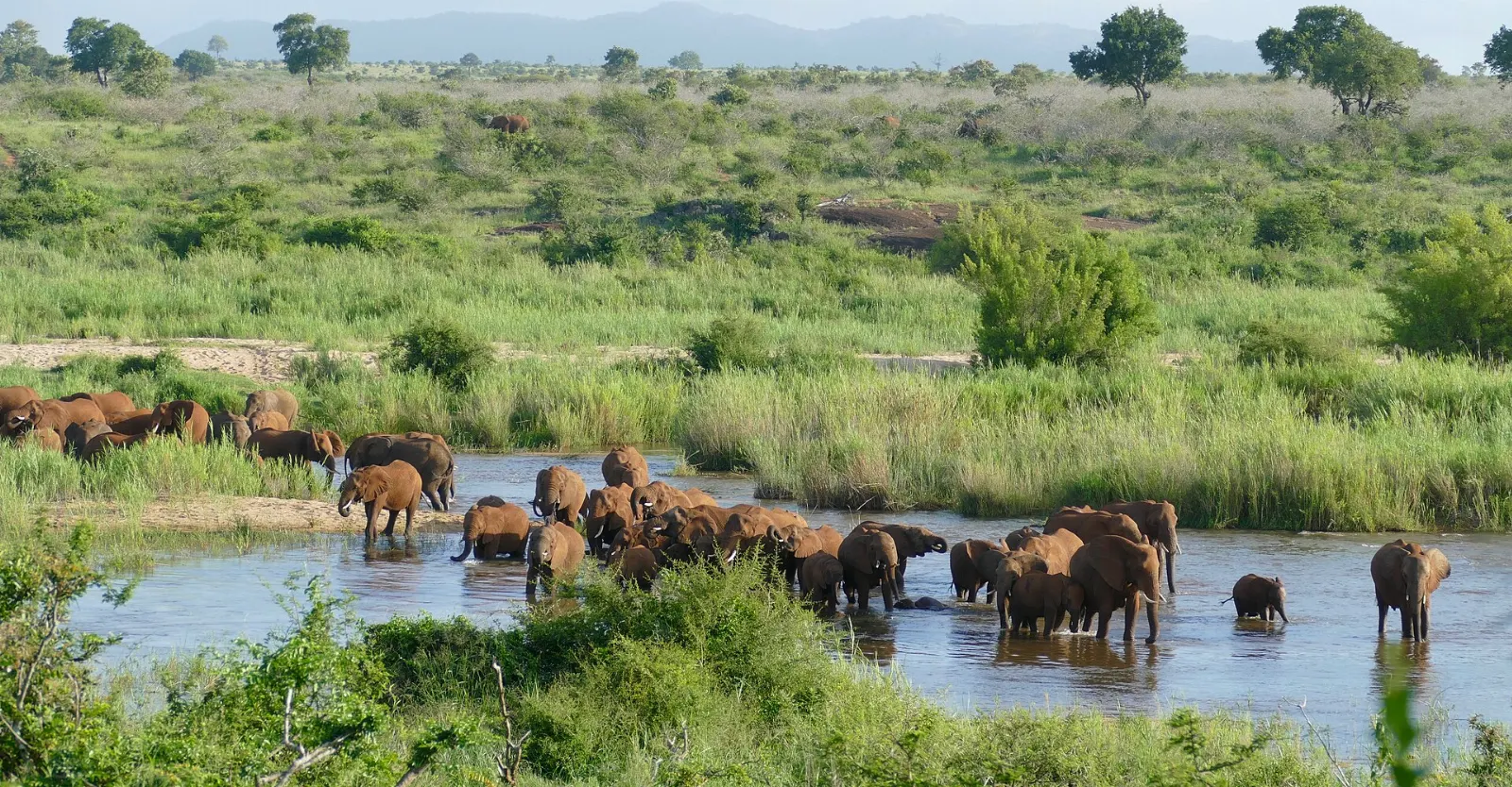
Lower Sabie Rest Camp sits on a broad bend of the Sabie River, and its deck is one of the best places in the park to watch elephants, buffalo and hippos come down to drink.
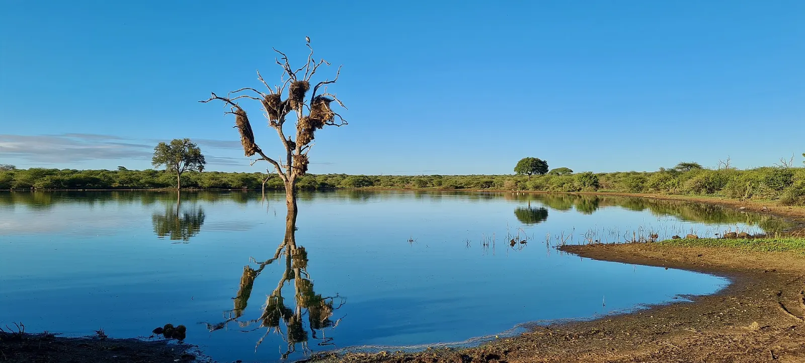
Sunset Dam
A few hundred metres from the Lower Sabie gate, Sunset Dam is a small waterhole that often packs in more life than a whole morning's drive elsewhere.
Skukuza and Lake Panic Bird Hide
Skukuza is the largest camp and the park's headquarters, with a shop, restaurants, fuel, a nursery, a golf course and the Stevenson-Hamilton Memorial Library, named after the first warden. It is a convenient base for the southern network.
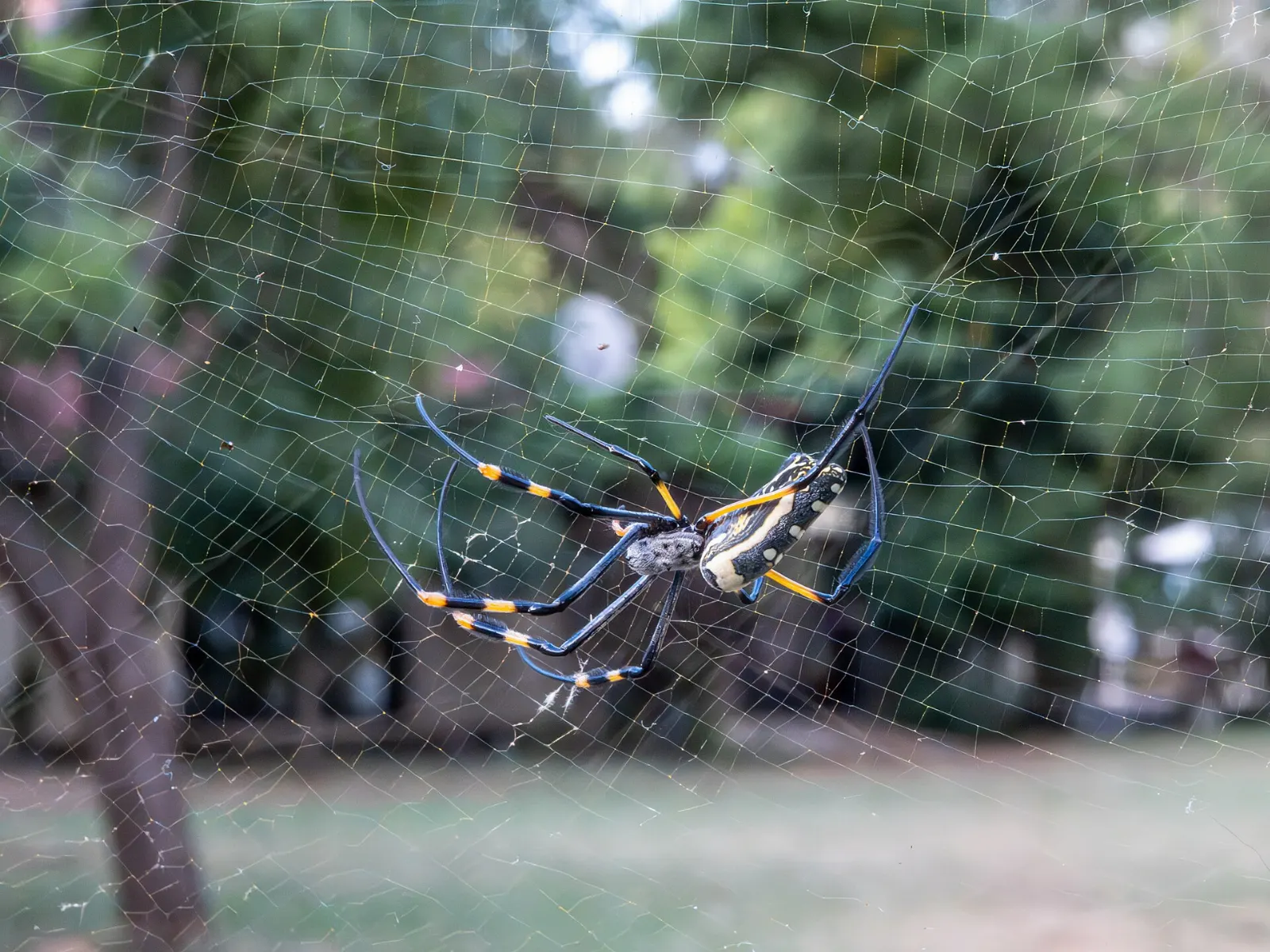
Just west of Skukuza, Lake Panic Bird Hide overlooks a dam where you can watch kingfishers, herons, African jacanas, crocodiles and hippos at very close range from a wooden hide. Bring binoculars and plan at least an hour.
Mathekenyane viewpoint
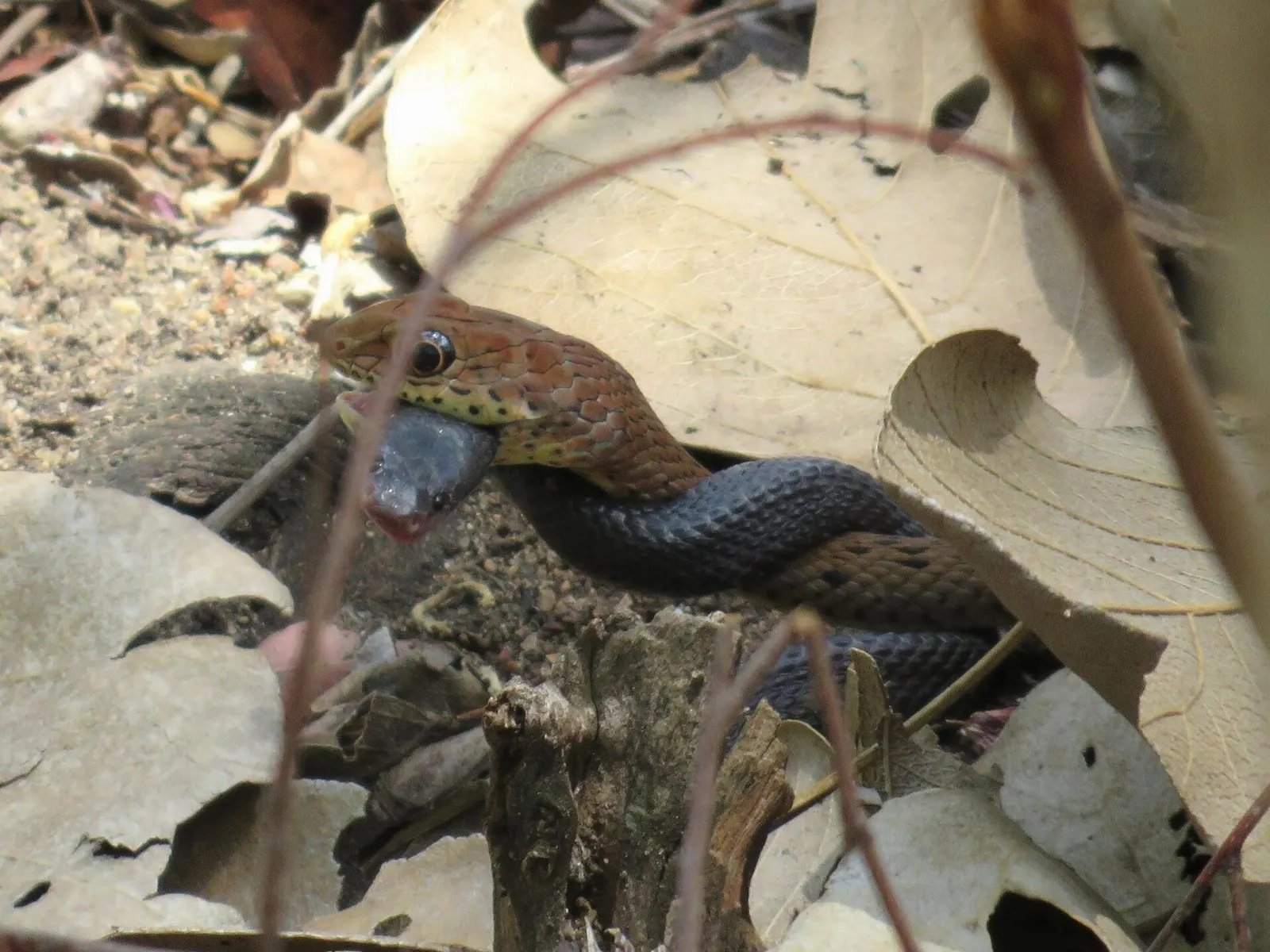
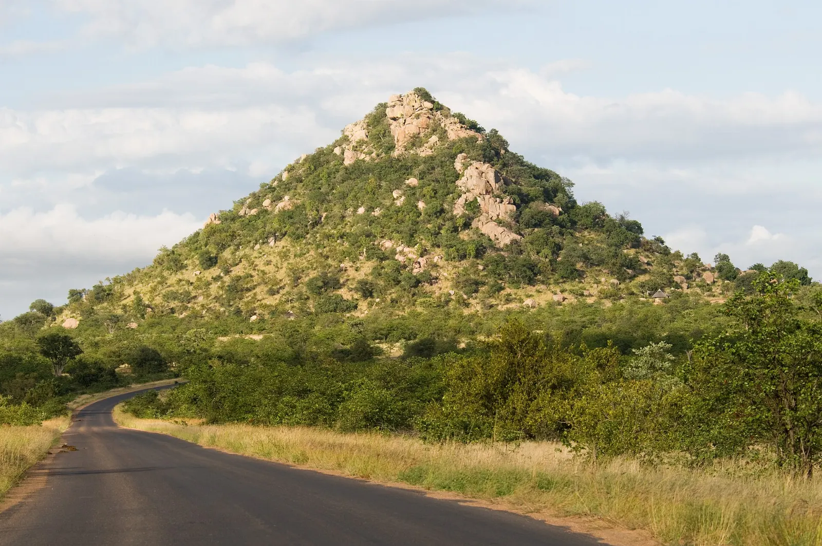
Also called Granite Kop, Mathekenyane is a granite hill a short drive south of Skukuza where visitors may leave their vehicles at the top.
Central Kruger: grasslands, predators and big river views
North of the Sabie River the landscape opens out. The soils change to basalt, the grass grows sweet and the grazers move in, bringing lions and cheetahs with them.
Satara and the S100
Satara Rest Camp sits on the eastern plains and has long been considered one of the best areas in the park for lion.
Olifants Rest Camp
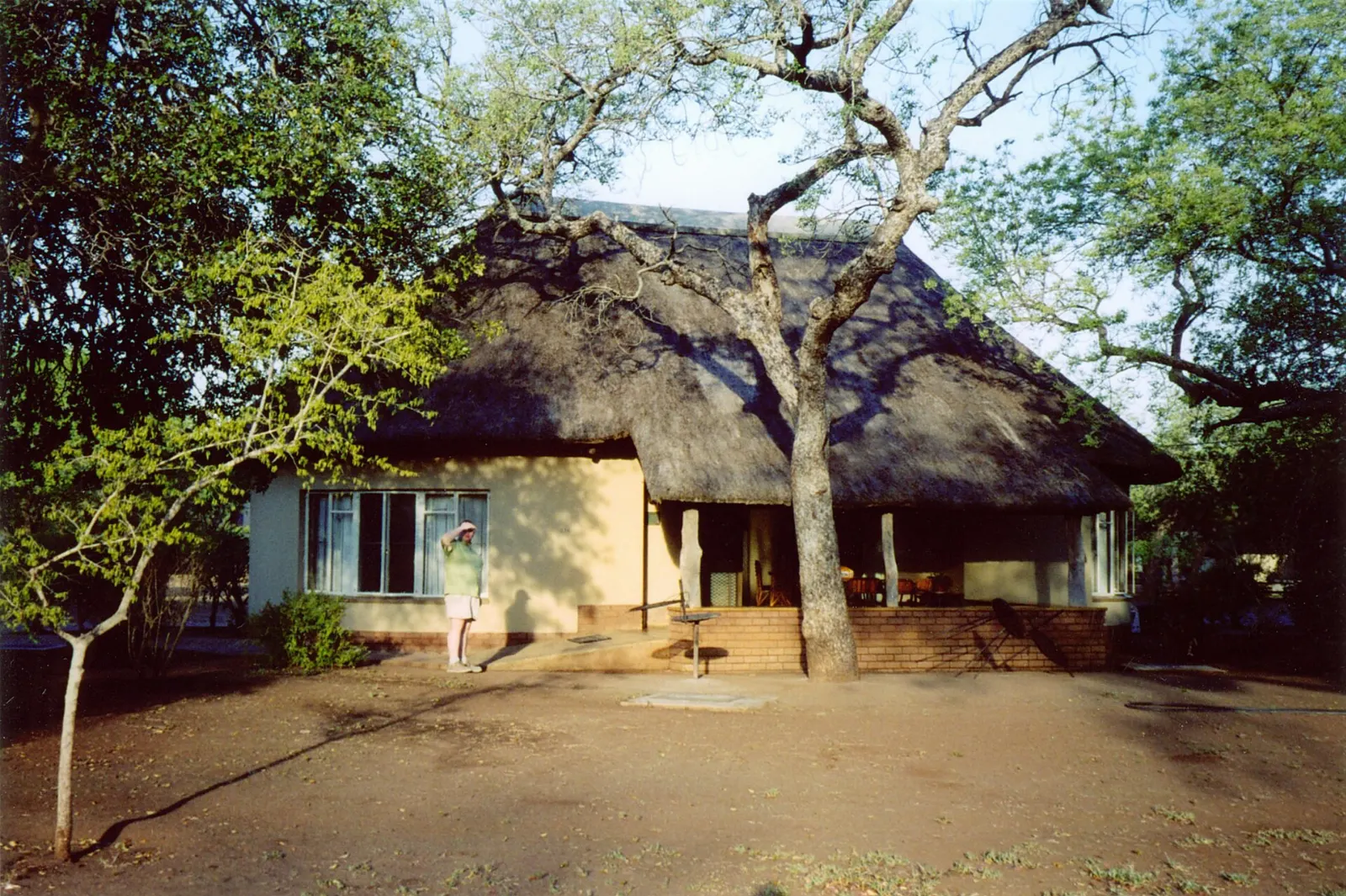
Olifants is built high on a ridge above the Olifants River, and the viewing deck offers one of the most dramatic outlooks in Kruger. From above you can watch elephants crossing the sandbanks, hippos in the pools and crocodiles basking on rocks.
Letaba and the Elephant Hall
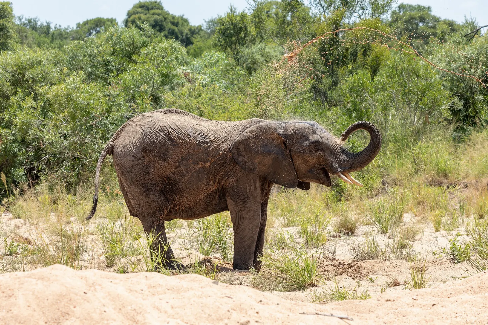
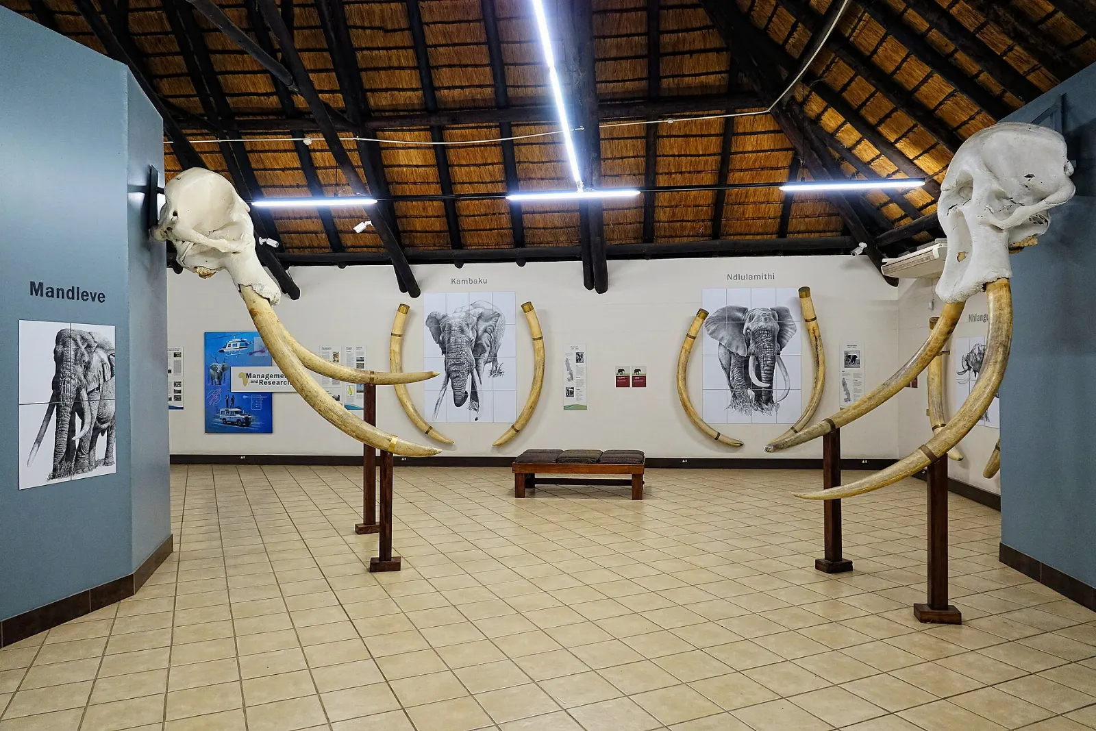
Letaba Rest Camp lies along a sweeping bend of the Letaba River, shaded by large trees and frequented by bushbuck and elephants. Its Elephant Hall museum tells the story of the park's great tuskers, including the so-called Magnificent Seven bulls, and displays some of their tusks.
Northern Kruger: baobabs, birds and ancient history
The north sees far fewer visitors. Mopane woodland dominates, game is more scattered, and the rewards are quieter roads, huge baobabs and some of the best birding in southern Africa.
Pafuri and Crooks Corner
The Pafuri region along the Luvuvhu River is known for fever tree forests, giant baobabs and rare birds such as Pel's fishing owl and the crested guineafowl.
Masorini archaeological site
Near Phalaborwa Gate, Masorini preserves an Iron Age settlement where people smelted and traded iron. Reconstructed huts and a furnace give a sense of daily life on the hill.
Thulamela heritage site
Thulamela, on a hilltop above the Luvuvhu River, was a royal stone-walled settlement linked to the trading world of Great Zimbabwe.
Food and local flavors
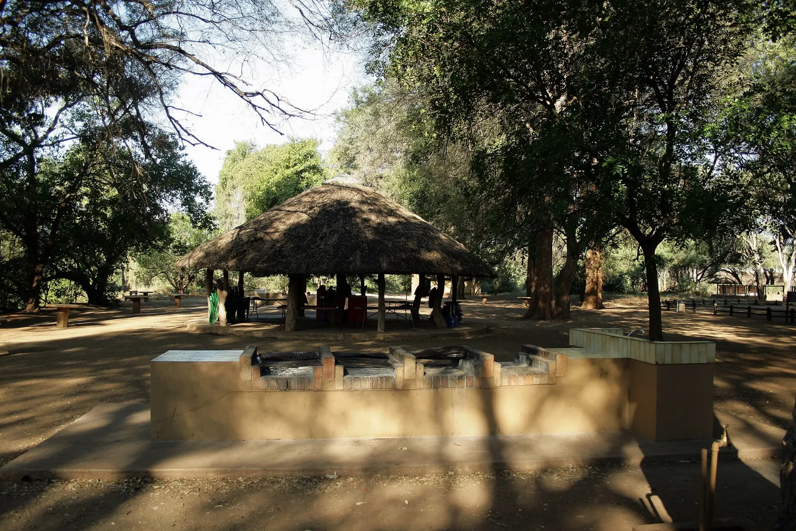
Eating in Kruger is closely tied to the braai, the South African barbecue.
For the road, biltong and droewors, air-dried spiced meats, are the classic safari snacks. Rusks dunked in morning coffee at a picnic site are another tradition.
Popular dishes to try in Kruger National Park


Where to stay
Southern rest camps such as Lower Sabie, Skukuza, Crocodile Bridge, Berg-en-Dal and Pretoriuskop suit first-time visitors and short trips.
Central camps like Satara, Olifants, Letaba and Orpen suit travellers who want predator country and river views, and they work well as the middle leg of a south-to-north journey.
Northern camps, including Shingwedzi, Punda Maria and Mopani, suit birders, repeat visitors and anyone seeking solitude.
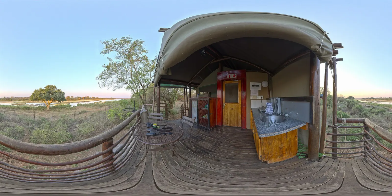
Beyond the main camps, smaller bushveld camps and satellite camps offer a quieter stay with fewer facilities.
Where to stay in Kruger National Park


Best time to visit
The dry winter months, roughly May to September, are the classic safari season. Vegetation thins, water sources shrink and animals concentrate near rivers and dams, making them easier to find.
The summer months, from about November to March, bring heat, afternoon thunderstorms and a green landscape.
Getting there and getting around
Kruger Mpumalanga International Airport near Mbombela is the main gateway to the south, with Malelane, Numbi and Phabeni gates within easy reach. Skukuza Airport inside the park receives scheduled flights from Johannesburg and Cape Town.
Inside the park, a network of tarred and gravel roads links the camps. Speed limits are 50 kilometres per hour on tar and 40 on gravel, and you must stay in your vehicle except at designated camps, picnic sites, hides and viewpoints.
A suggested itinerary
First day
Enter at Malelane or Crocodile Bridge and drive slowly to Lower Sabie.
Second day
Leave at gate opening and drive the H4-1 along the Sabie River to Skukuza.
Third day
Head north via Tshokwane picnic site to Satara, stopping for breakfast on the way.
Fourth day
Spend the morning on the plains around Satara, then continue to Olifants for a sunset over the river.
Fifth day
Drive the river roads to Letaba, visit the Elephant Hall and exit through Phalaborwa Gate with a stop at Masorini, or continue north if you have more time.
Practical tips
- Book rest camp accommodation well ahead, especially for school holidays and long weekends.
- Speak to a travel doctor about malaria prevention before you go, and use repellent at dawn and dusk.
- Buy the park's printed map and sightings guide at a camp shop; many camps also keep a sightings board.
- Never feed animals, including monkeys and baboons in camps, and keep food out of reach.
- Stay inside your vehicle except in designated areas, and keep arms inside the windows near elephants and predators.
- Carry binoculars, a camera with a zoom lens, water and snacks for long drives between camps.