Few places on Earth let you stand at the edge of an active volcano, walk across a lava lake that was molten within living memory and then drive down to sea cliffs where new land has been added in your lifetime.
AT A GLANCE
Best time
Open year-round, day and night. Spring and fall bring thinner crowds; summer and holidays are busiest.
How long
One full day covers the highlights. Two or three days let you hike, see the coast and return after dark.
Getting there
About 45 minutes from Hilo or two to two and a half hours from Kailua-Kona on Highway 11. A car is essential.
Why visit Hawaii Volcanoes National Park
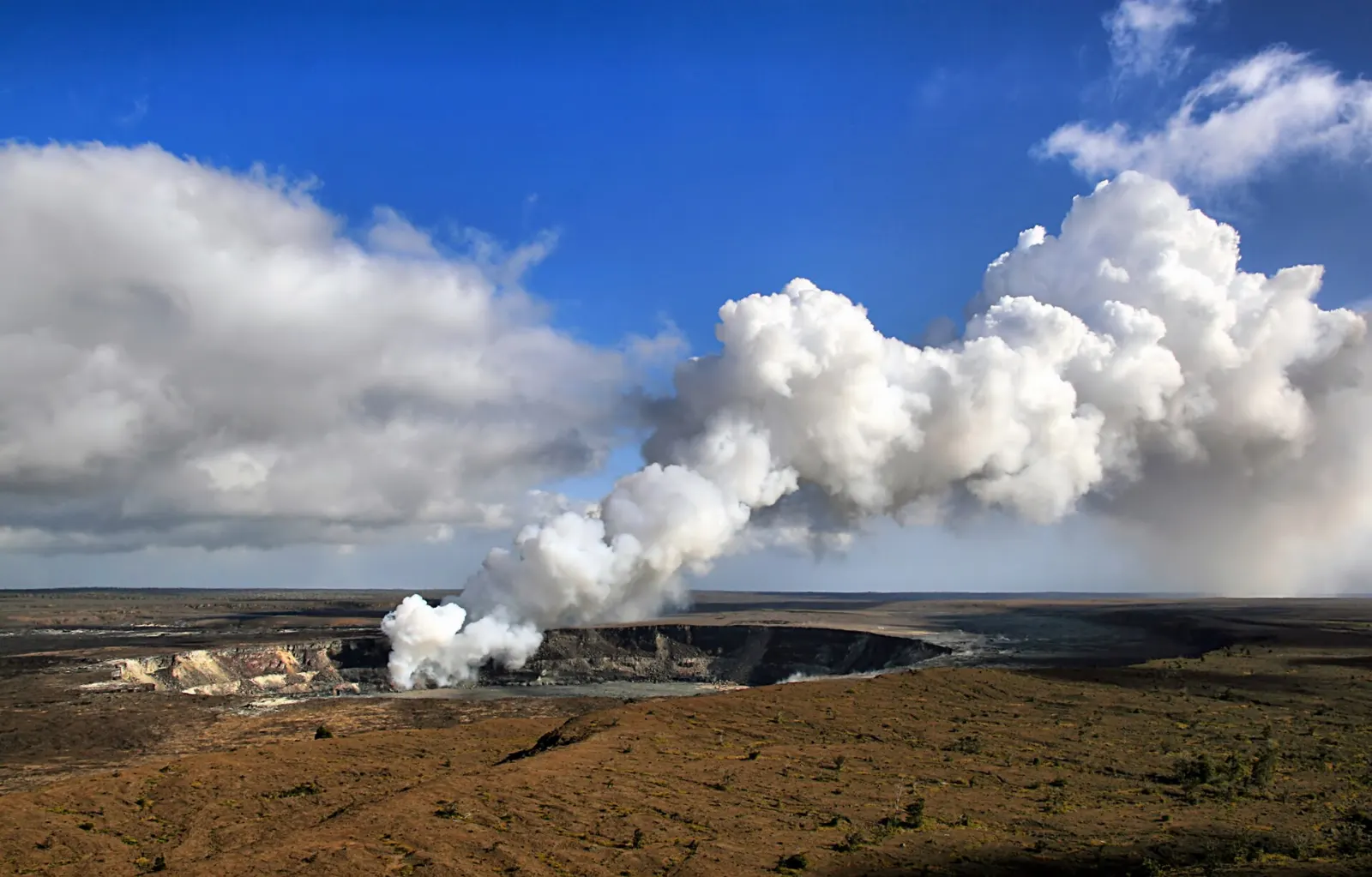
The park exists because the ground here is still being made. Kilauea is one of the most active volcanoes on the planet, and its summit has seen repeated eruptions since late 2020, with episodes of lava fountaining inside Halemaumau crater continuing into 2026. When an episode is under way, the glow from the crater can be seen from overlooks on the caldera rim; between episodes you still get steam, sulfur, fresh cracks and a landscape that looks raw and newly rearranged, because much of it is.
The volcanoes are only part of the story. Native Hawaiians regard Kilauea as the home of Pele, the goddess of volcanoes, and the park protects thousands of archaeological sites, from house platforms to footprints preserved in ash and one of the largest petroglyph fields in the islands. It is also a refuge for plants and animals found nowhere else, including the nene, Hawaii's state bird, and native honeycreepers.
The summit of Kilauea and Crater Rim Drive
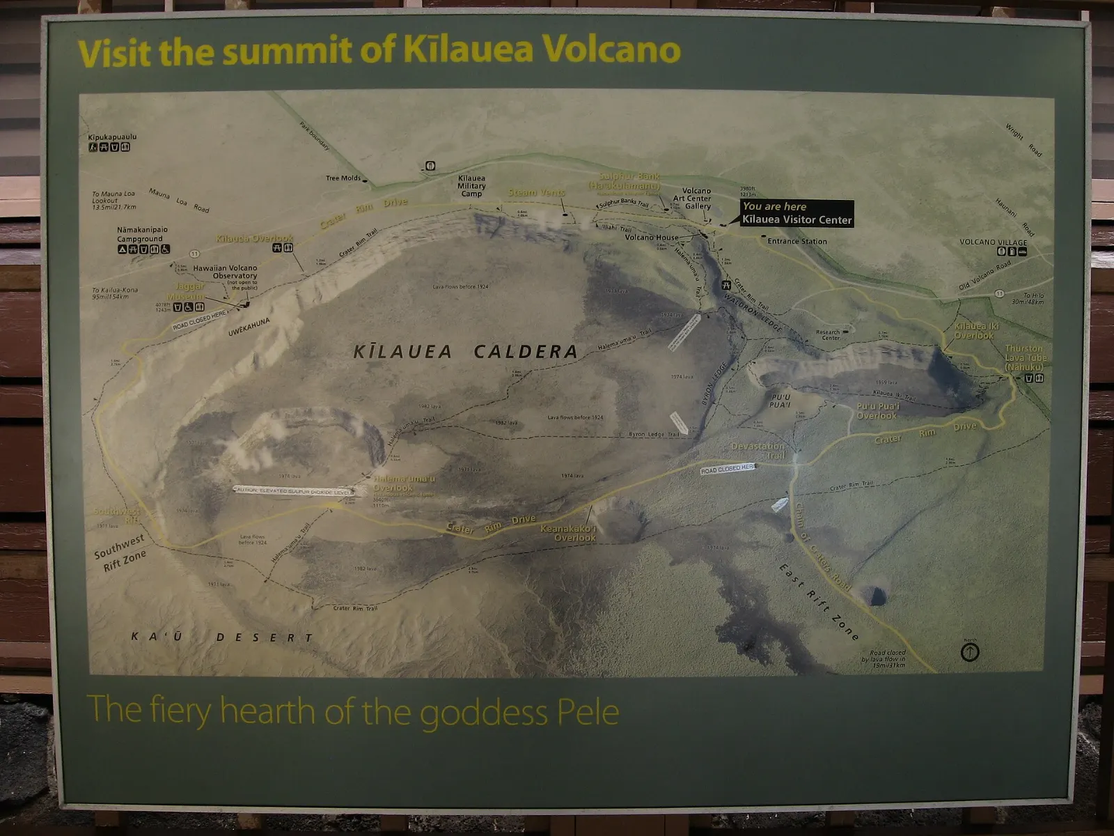
Most of the park's famous sights sit around the summit caldera, linked by Crater Rim Drive.
Kilauea Visitor Center
Start here, just inside the entrance. Rangers post the latest eruption status, air quality readings and trail closures, and the exhibits explain how the islands formed and how life arrived by wind, wing and wave.
Uekahuna and the caldera overlooks
The bluff at Uekahuna, the westernmost point of the drive, offers one of the widest views into the caldera and down into Halemaumau. To the east, Keanakakoi Overlook and the walkway along the rim give closer angles on the crater.
Steam Vents and Sulphur Banks
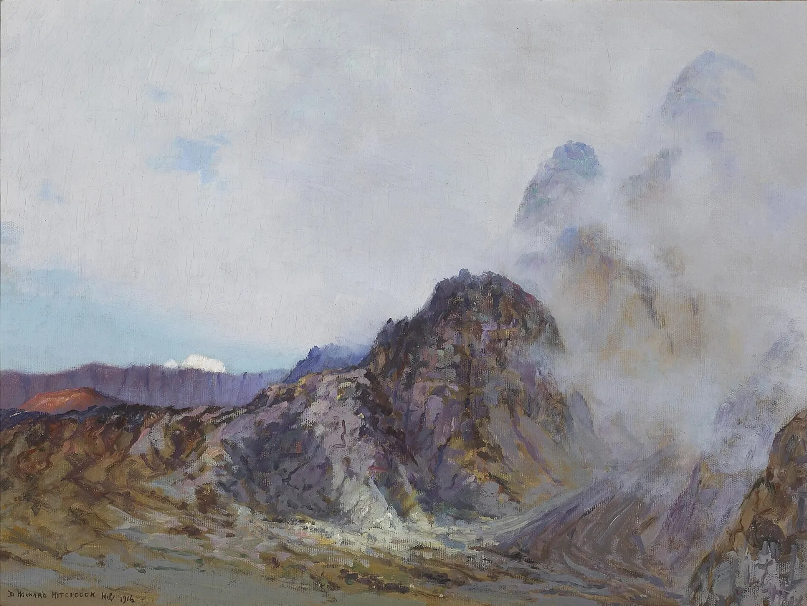
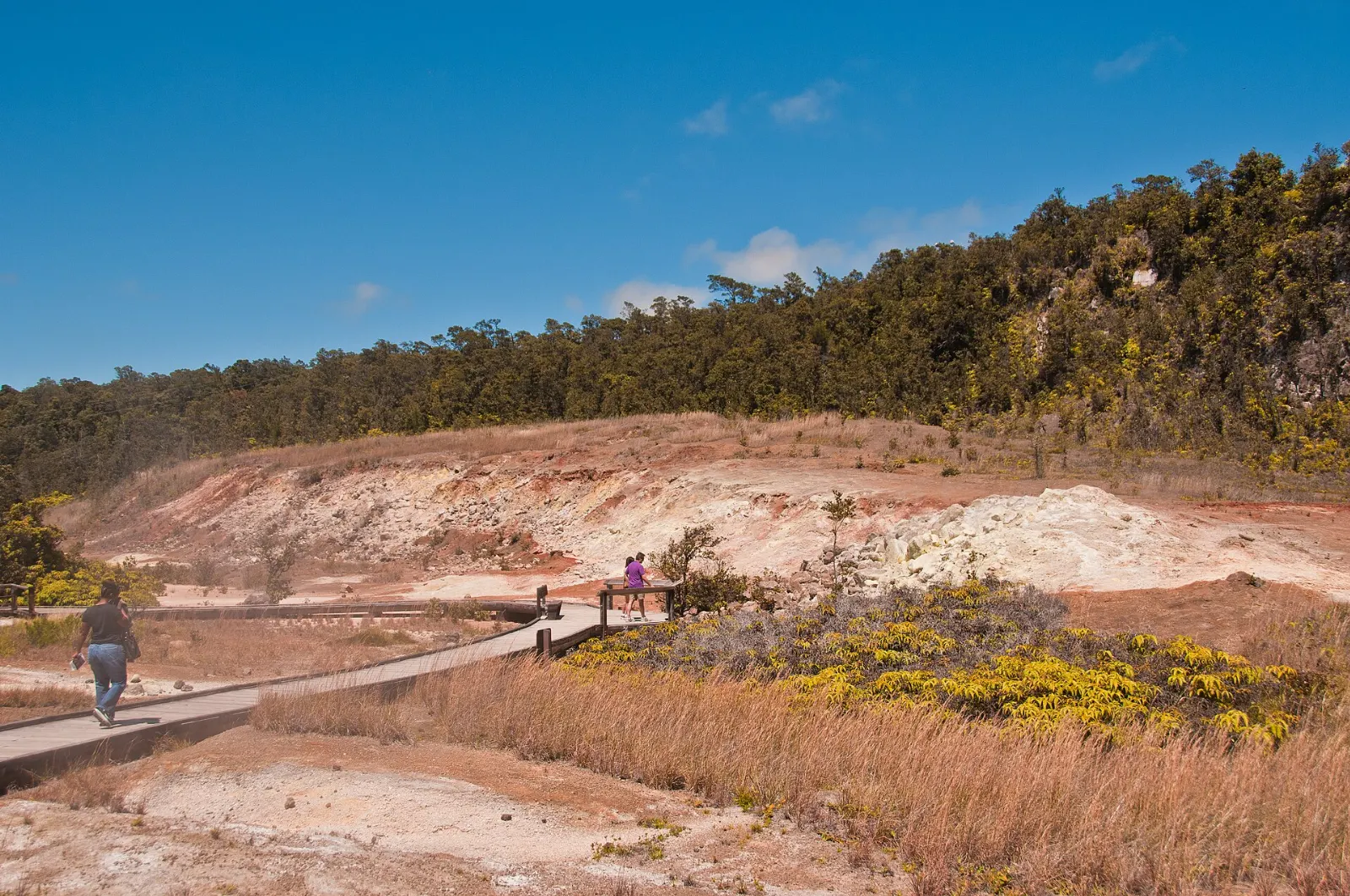
Near the visitor center, a short boardwalk trail called Haakulamanu, or Sulphur Banks, winds past ground stained yellow, orange and white by volcanic gases. Across the road, the Steam Vents and the Steaming Bluff send clouds of vapor drifting over the grass as rainwater meets hot rock underground.
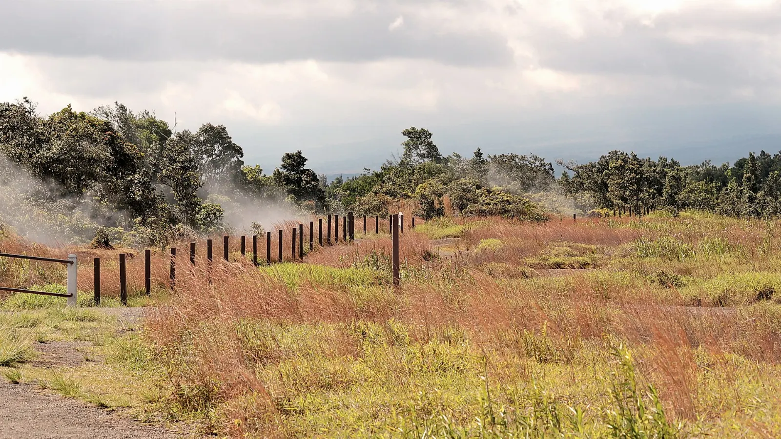
On a cool morning the steam is at its thickest and the effect is eerie, especially when fog drifts through the ohia trees at the same time.
Craters, lava tubes and the best summit hikes
Kilauea Iki Trail
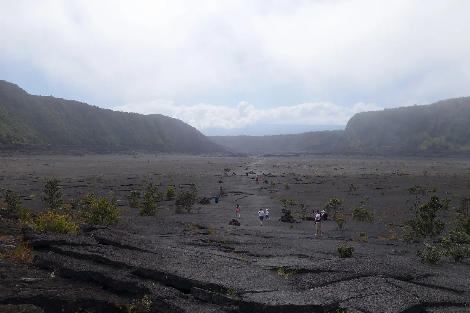
If you hike only one trail in the park, make it this one. The loop of roughly four miles drops about 400 feet through lush rainforest to the floor of Kilauea Iki, a crater that held a churning lava lake in 1959, when fountains shot as high as 1,900 feet.
Nahuku (Thurston Lava Tube)
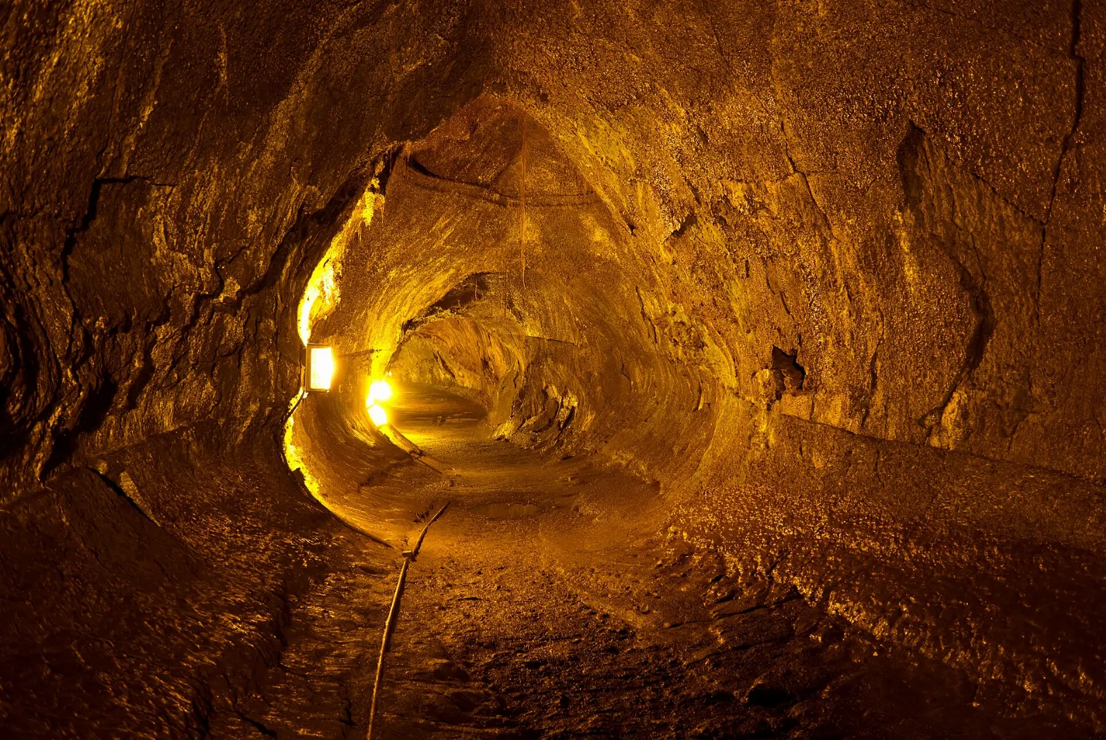
A short loop through tree ferns leads into a lighted lava tube several hundred years old, about 400 feet long and tall enough to walk through comfortably. It formed when the outer crust of a lava river hardened and the molten core drained away.
Devastation Trail
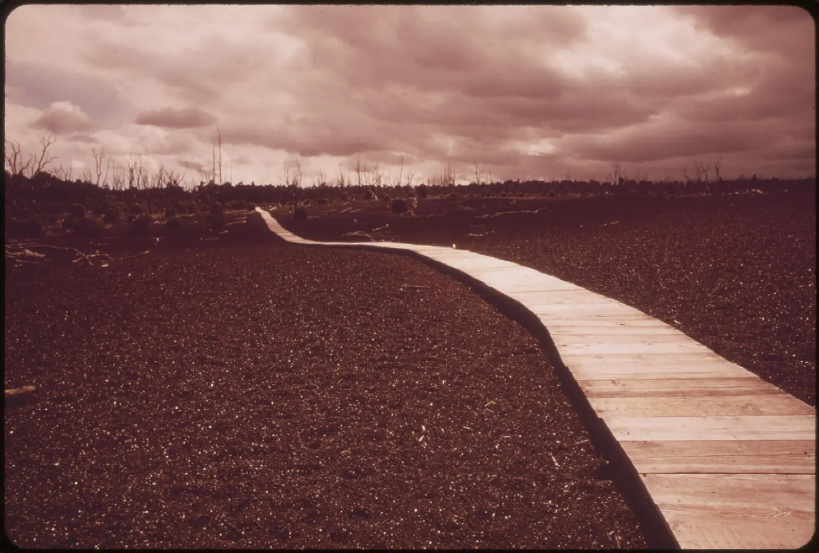
This paved trail, about a mile round trip, crosses a field of black cinder that rained down during the 1959 eruption, burying the forest and leaving pale tree skeletons that still stand.
Chain of Craters Road and the coast
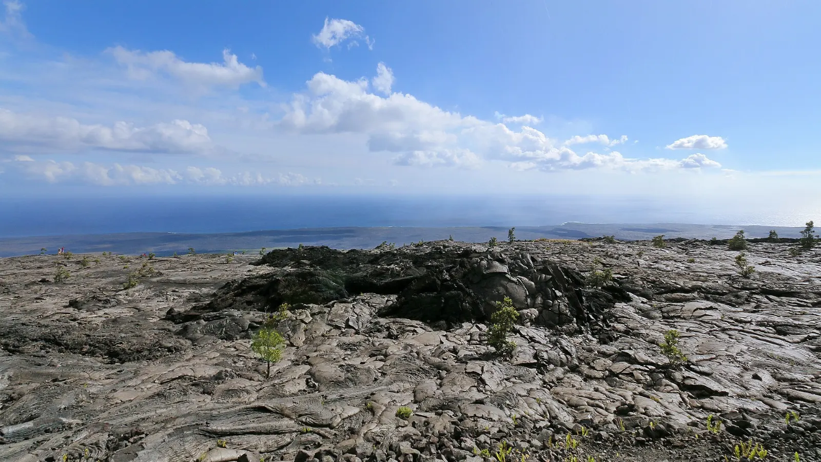
Chain of Craters Road descends about 3,700 feet over roughly 20 miles from the summit to the sea, passing pit craters, lava flows from different decades and wide ocean views. Plan at least half a day for the round trip with stops.
Mauna Ulu
Between 1969 and 1974, a long eruption built the shield of Mauna Ulu and sent lava flows across the road and down to the ocean.
Puu Loa Petroglyphs
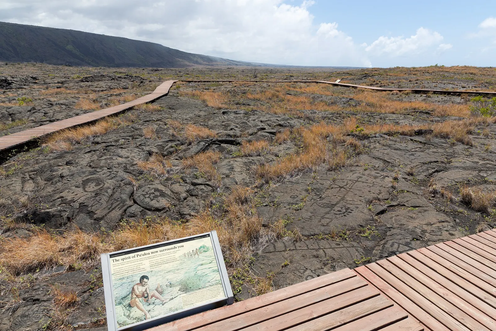
Lower down the road, a trail of about a mile and a half round trip crosses smooth pahoehoe lava to a boardwalk overlooking more than 23,000 petroglyph images, including dots, circles and human figures.
Holei Sea Arch and the end of the road
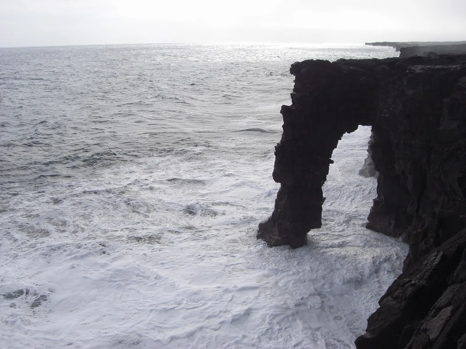
Near the bottom of the road, the Holei Sea Arch rises from cliffs of layered lava, carved by waves into a tall natural bridge. A little farther on, the pavement ends where lava flows have buried it.
 Planning a trip to Hawaii Volcanoes National Park?Compare hotels, flights and vacation rentals for Hawaii Volcanoes National Park on Expedia.Book now
Beyond the main loop: Mauna Loa and Kahuku
Most visitors never leave the summit and Chain of Craters Road, but the park is far larger. Mauna Loa, the largest active volcano on Earth, last erupted in 2022, and its summit is a serious multi-day wilderness trek that requires a backcountry permit and acclimatization to altitude.
The Kahuku unit, reached from Highway 11 near mile marker 70, is a former ranch added to the park in 2003. It offers quiet hikes across grassy pasture, cinder cones and native forest, with far fewer people than the summit.
Food and local flavors
Dining inside the park is limited, so most visitors eat in Volcano village just outside the entrance or bring food with them.
Hilo, about 45 minutes away, is the island's best place for local food. Look for loco moco, the comfort dish of rice topped with a hamburger patty, fried egg and gravy, which is widely credited to Hilo.
Popular dishes to try in Hawaii Volcanoes National Park


Where to stay
Inside the park: a historic lodge sits right on the caldera rim, and there are rustic cabins and campsites at Namakanipaio, a short drive from the summit.
Volcano village: just outside the entrance, this small community in the rainforest has bed-and-breakfasts, cottages and vacation rentals tucked among the tree ferns.
Hilo: the closest town with a full range of hotels, restaurants and services. It suits families and travelers who want to combine the park with waterfalls, gardens and the Hilo Bayfront.
Kailua-Kona and the Kohala Coast: sunny and full of resorts, but more than two hours each way.
Where to stay in Hawaii Volcanoes National Park


Best time to visit
The park is open 24 hours a day, every day of the year, and there is no bad season.
Crowds peak during summer, the winter holidays and spring break, and they swell whenever an eruption episode is producing visible lava. Weekday mornings are the quietest time for the popular trails.
Getting there and getting around
Two airports serve the island. Hilo International Airport is closest, about 30 miles from the park, roughly 45 minutes by car on Highway 11.
A rental car is essentially required. The county Hele-On bus stops at Volcano, but service is limited and designed for commuters, and there is no public transportation within the park.
A suggested itinerary
First day
Arrive by mid-morning, check conditions at the Kilauea Visitor Center and walk the Sulphur Banks and Steam Vents loop. Hike the Kilauea Iki Trail before lunch, then visit Nahuku and the Devastation Trail.
Second day
Pack lunch and plenty of water and spend the day on Chain of Craters Road.
Third day
If you are driving toward Kona, stop at Kipukapuaulu for birds, then continue along Highway 11 to the Kahuku unit for a quieter hike on one of its open days.
Practical tips
- Check the park's alerts and air quality page every morning; vog and sulfur dioxide levels can change with the wind.
- Pack layers, a rain jacket and closed-toe shoes. You may be cold and wet at the summit and hot on the coast on the same day.
- Bring a flashlight or headlamp for night viewing, with a red light setting to protect other visitors' views.
- Stay on marked trails and behind barriers. Crater rims and cracks can be unstable, and thin lava crust can collapse.
- Do not feed or approach nene, which often wander onto roads. Drive slowly and watch for them.
- Leave rocks, sand and plants where they are. Taking lava is illegal in the park and is considered disrespectful to Pele.
Find local businesses in Volcano on WiserMap
Looking for a cafe, a gas station, a guided tour or a cozy rental near the park entrance?