Haida Gwaii is an archipelago of more than 150 islands that lie roughly 50 kilometres west of mainland British Columbia across Hecate Strait.
AT A GLANCE
Best time
Late spring to early autumn, when ferries and tours run most often.
How long
Five to seven days to see the main sights on Graham and Moresby.
Getting there
Fly from Vancouver or take the ferry from Prince Rupert.
Why visit Haida Gwaii
This is a place with few big chain stores and no grand resorts. Visitors come for the outdoors, for artisan galleries and for Haida culture, which has deep roots here.
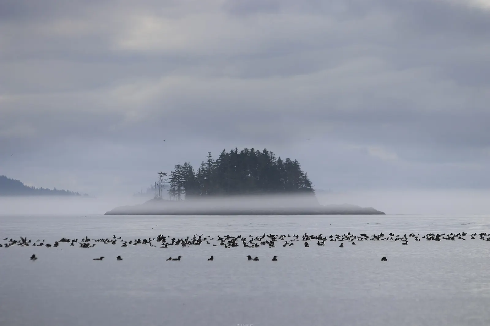
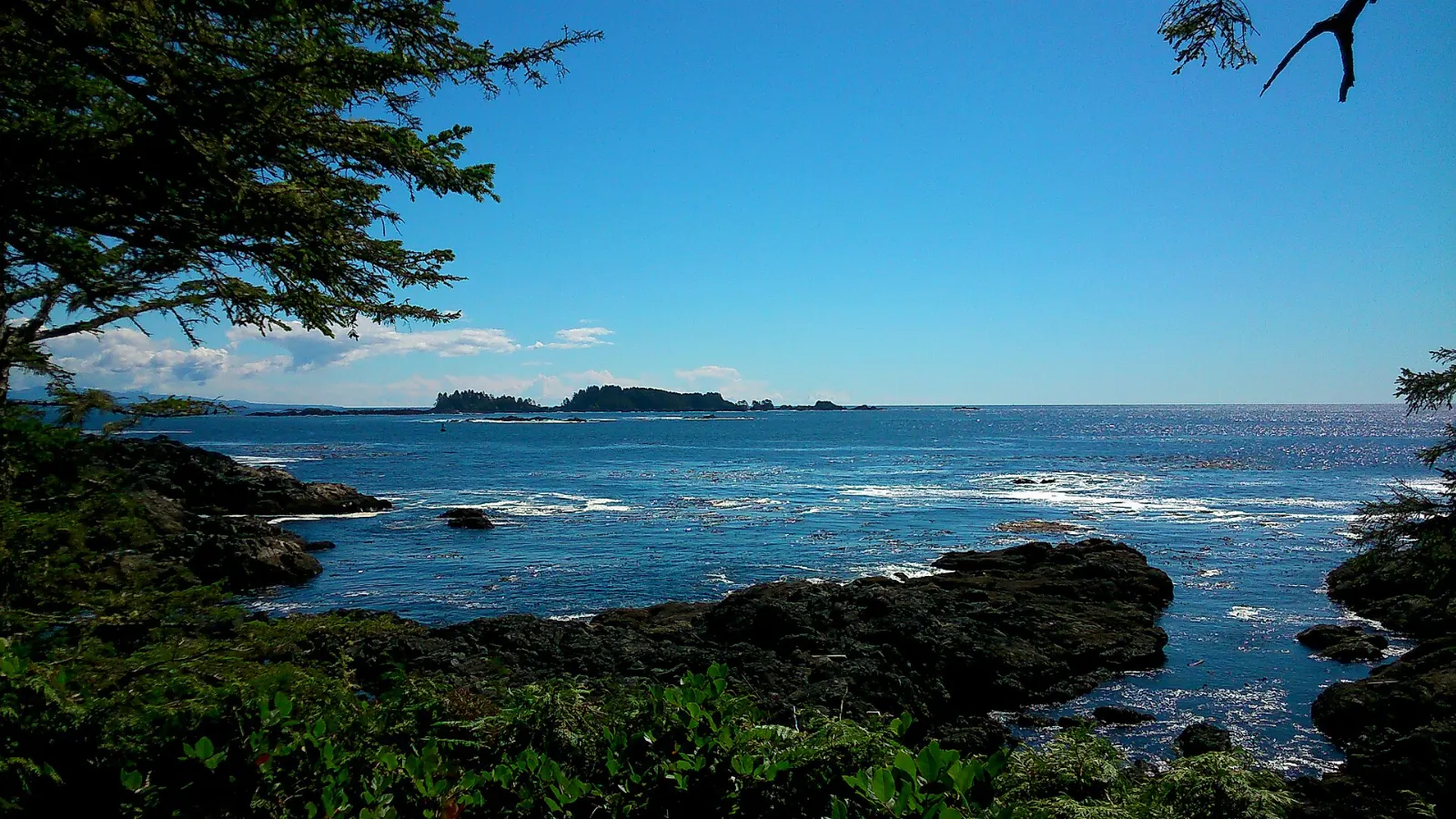
The islands have been called the Misty Islands for their moist, mild climate, and nature still dominates. Old-growth rainforest, giant Sitka spruce and western red cedar grow almost to the shoreline.
The two largest islands, Graham and Moresby, dominate the visitor's itinerary, and the main communities are linked by Highway 16 and a short ferry. It is a place to slow down and listen.
Graham Island and the main communities
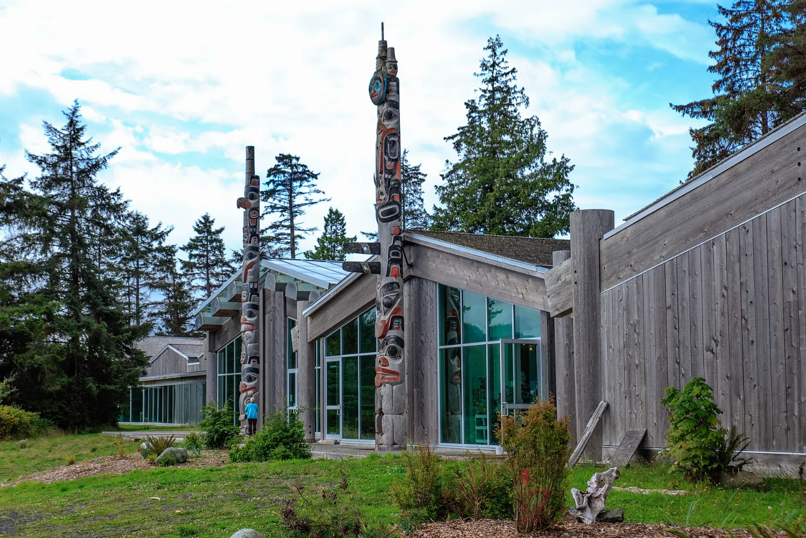
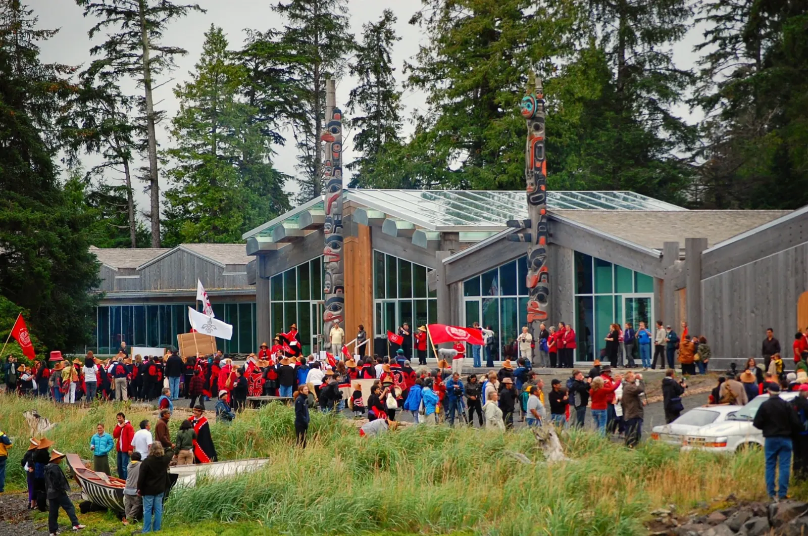
Haida Heritage Centre at Kay Llnagaay
This is the premier cultural centre and museum of the Haida people, just south of a historic village site known as the Town of Sea Lions.
Daajing Giids
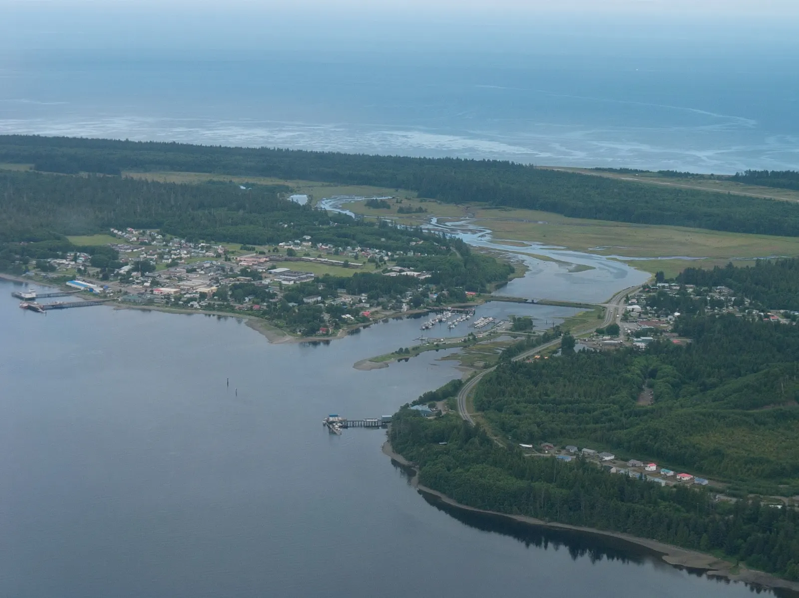
Known as Queen Charlotte until 2022, this village on Skidegate Inlet is the arrival point for ferries and the main tourist centre. It has the visitor information, shops and galleries you need, and a harbour for watching boats.

Skidegate
This Haida community sits on the southeast coast of Graham Island and is the northern terminal of the BC Ferries link to Alliford Bay on Moresby Island. The Haida Heritage Centre lies along its eastern edge.
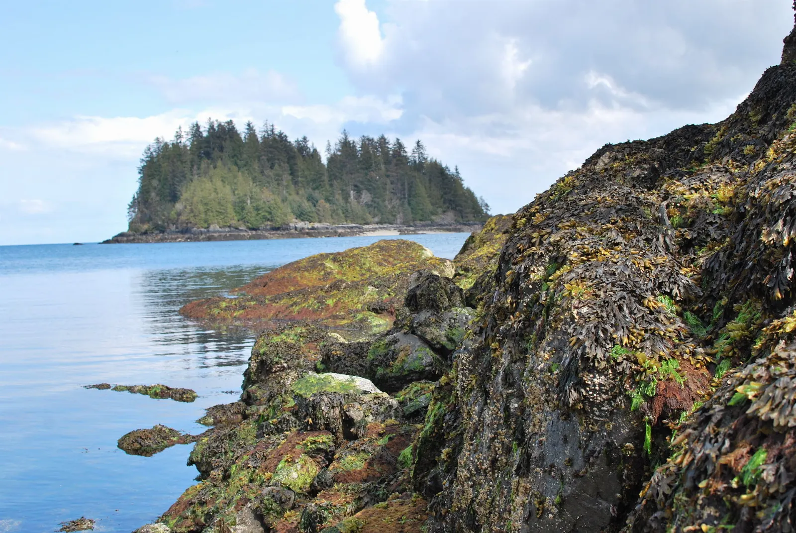
Naikoon Provincial Park
Nearly 70,000 hectares of lush rainforest and sandy beaches make up this park on the northeast of Graham Island. It is a place for beach walks, camping and quiet.
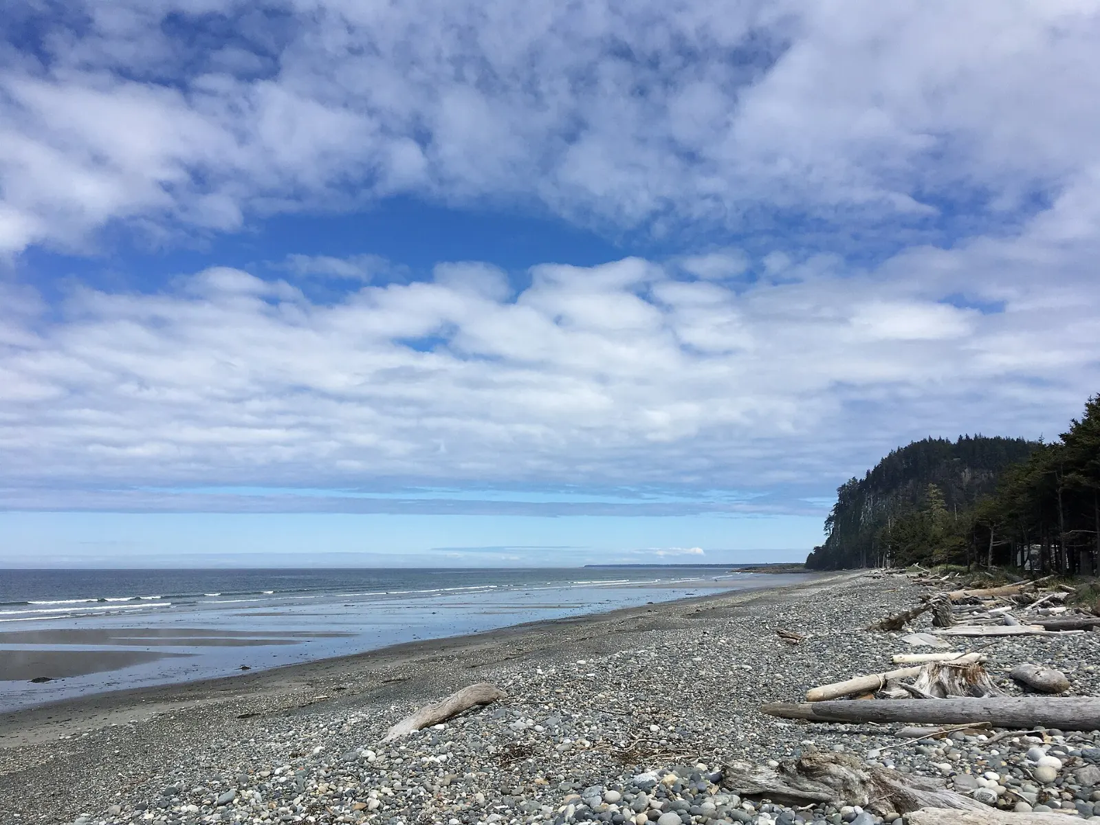
Tlell
This small community on the east coast of Graham Island is the gateway to Naikoon and sits beside the Tlell River. The area has cabins and bed and breakfasts and is a good base for beachcombing.
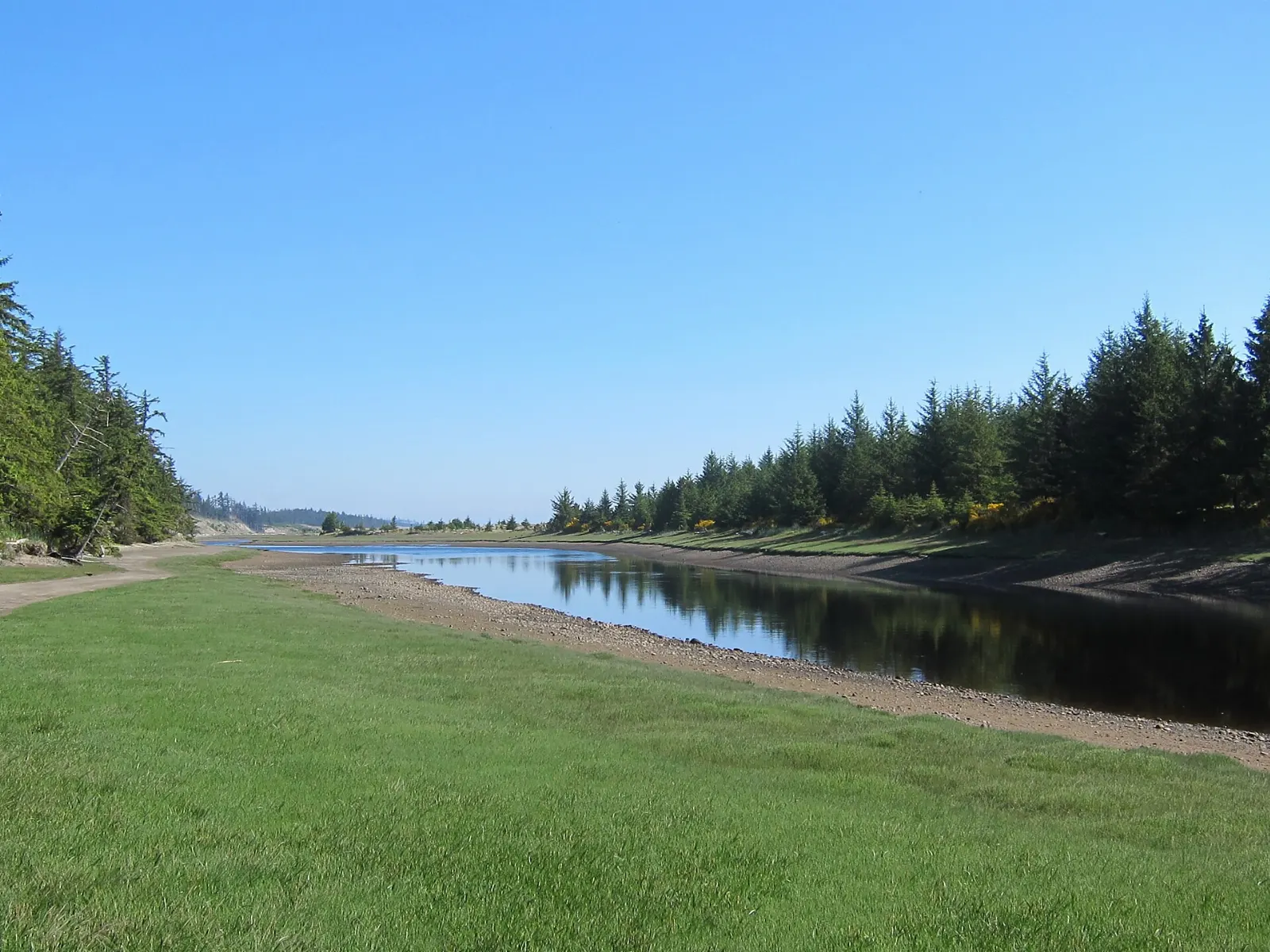
Port Clements and the White Raven
Port Clements was home to a male albino raven that became a local celebrity and was preserved by taxidermists after his death in 1997. He is on display at the Port Clements Historical Society museum.
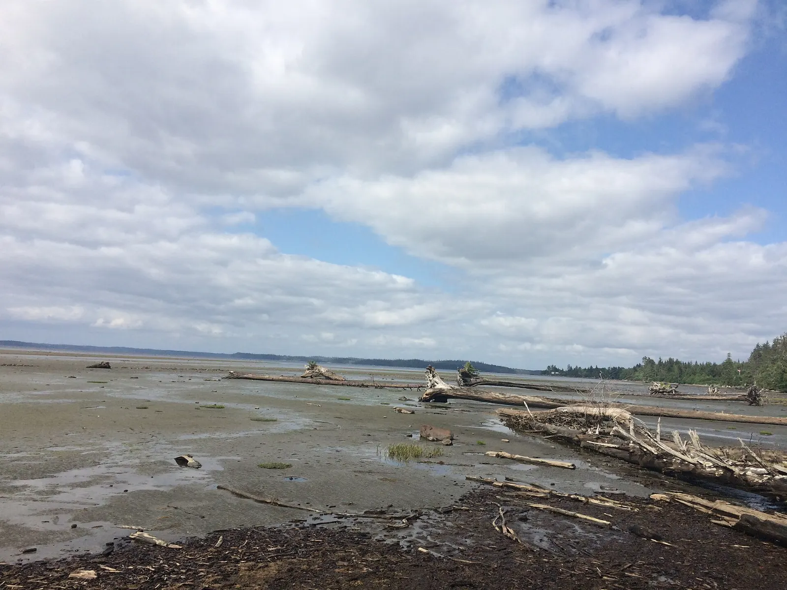
Masset
The main settlement at the north end of the islands sits on Masset Sound and is the western terminus of the Yellowhead Highway.
Moresby Island and Gwaii Haanas
Gwaii Haanas National Park Reserve
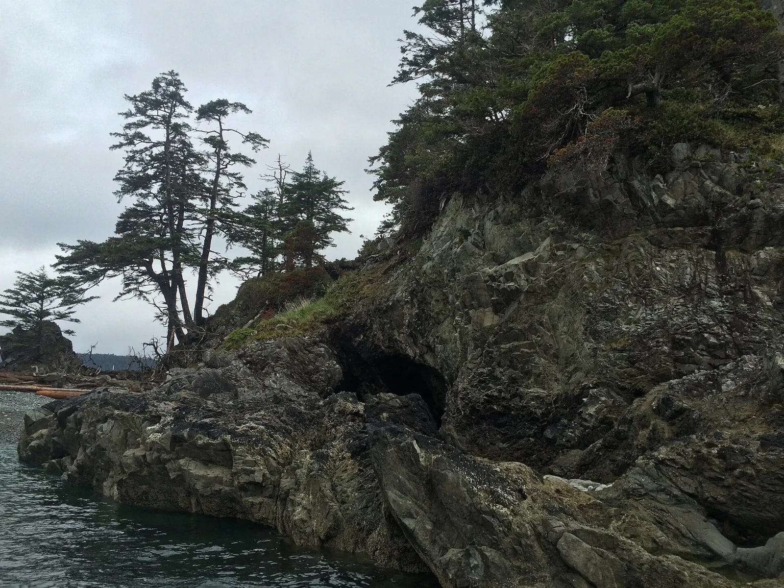
Gwaii Haanas protects 138 islands in the south and is managed jointly by the Haida Nation and Parks Canada.
SGang Gwaay Llnagaay
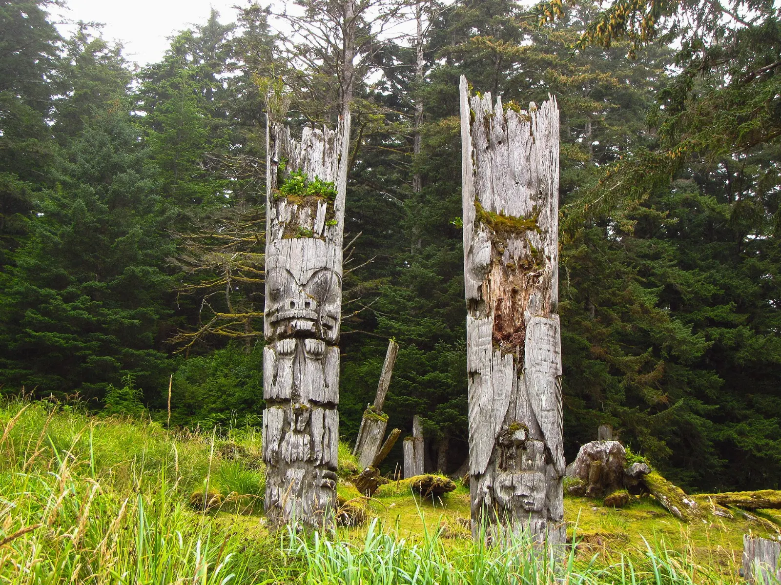
The abandoned Haida village on Anthony Island is a UNESCO World Heritage Site and the best known place on the islands for seeing totem poles in their original positions.
Hotspring Island
A hot spring on this small island in Gwaii Haanas measures around 72 degrees Celsius at its source, and the Haida Gwaii Watchmen supervise the island. It is among the most celebrated stops for kayak and boat tours.
Sandspit
The main jumping-off point for those flying in from Vancouver and for those heading for Gwaii Haanas lies on Moresby Island. It is a practical stop before a boat or floatplane trip, so book your transfer ahead.
 Planning a trip to Haida Gwaii?Compare hotels, flights and vacation rentals for Haida Gwaii on Expedia.Book now
Food and local flavors
Traditional seafood is the true local cuisine, and it centres on wild salmon, halibut, razor clams, seaweed and herring roe on kelp. Known as k'aaw, the roe on kelp is among the most highly valued foods in Haida communities.
Many locals harvest their own seafood, so it can be hard to find for purchase. Ask at the Haida Heritage Centre cafe or in Daajing Giids about what is in season, and respect local protocols if you are offered a taste.
Popular dishes to try in Haida Gwaii


Where to stay
Daajing Giids is the main base, close to ferries, the Haida Heritage Centre and visitor services.
Masset, at the north end, suits travellers heading for Naikoon's northern beaches, and it has flights from Vancouver and Prince Rupert.
Sandspit is the base for those flying in from Vancouver or setting out for Gwaii Haanas on Moresby Island.
Tlell has small inns, cabins and campgrounds near the beach and is ideal for travellers who want quiet.
Where to stay in Haida Gwaii


Best time to visit
The climate is mild and wet, with heavy rainfall and rain on around two thirds of days, even in sheltered areas.
Late spring to early autumn is the most practical season, with the best ferry and flight schedules, the Watchmen in residence at heritage sites from May to September, and seabirds nesting along the coast from May to August.
Getting there and getting around
Daily flights run from Vancouver to Sandspit with Air Canada and to Masset with Pacific Coastal Airlines. BC Ferries sails from Prince Rupert to Skidegate on Graham Island, a crossing of seven to eight hours, usually a few days a week and sometimes overnight. Reservations are strongly recommended.
Highway 16 links Skidegate with Masset, and rental cars are available on the islands. A short BC Ferries crossing connects Skidegate with Alliford Bay on Moresby Island.
A suggested itinerary
First day
Arrive in Daajing Giids, then visit the Haida Heritage Centre in Skidegate for the afternoon.
Second day
Drive north along Highway 16 to Tlell and Port Clements, then walk a beach in Naikoon Provincial Park.
Third day
Continue to Masset for the north end of the islands, with time for the shore and local galleries.
Fourth day and beyond
Take the ferry to Moresby Island and join a licensed Gwaii Haanas tour to SGang Gwaay and Hotspring Island, allowing extra days for weather.
Practical tips
- Book ferries, flights and accommodation as far ahead as you can, especially for summer.
- Gwaii Haanas requires an orientation and advance planning, so book through Parks Canada or a licensed operator.
- Pack waterproof layers, since rain falls on most days.
- Ask permission before photographing people, and treat poles, villages and sacred sites with respect.
- Check logging road conditions at a visitor centre and carry a map, since cell service is limited.