Agawa Canyon is one of the great train rides of Canada. Deep in the Algoma District of Northern Ontario, the canyon has no road access, so most visitors arrive on the tour train from Sault Ste.
AT A GLANCE
Best time
Late September into October for autumn colour, or summer for the longest season.
How long
Plan three days, with one full day for the train ride.
Getting there
Fly or drive to Sault Ste. Marie, then ride the train north to the canyon.
Why visit Agawa Canyon
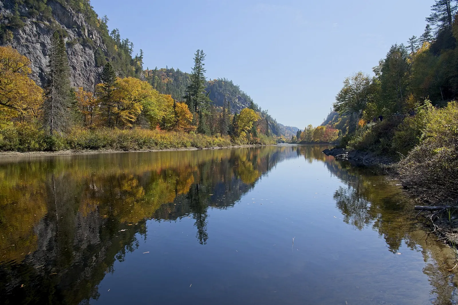
The canyon was created about 1.2 billion years ago by faulting along the Canadian Shield and then widened by the Agawa River. At its highest point the walls rise about 175 metres above the river, and the park sits where the Great Lakes and St. Lawrence forest meets the boreal forest, so the mix of trees turns brilliant colours in autumn.
The journey is part of the appeal. The Algoma Central Railway began promoting the canyon to tourists in the 1960s, and the Group of Seven painters worked along this corridor between 1918 and 1923, even travelling in a rented boxcar fitted out like a cabin.
The best places to visit in the canyon
Agawa Canyon Tour Train
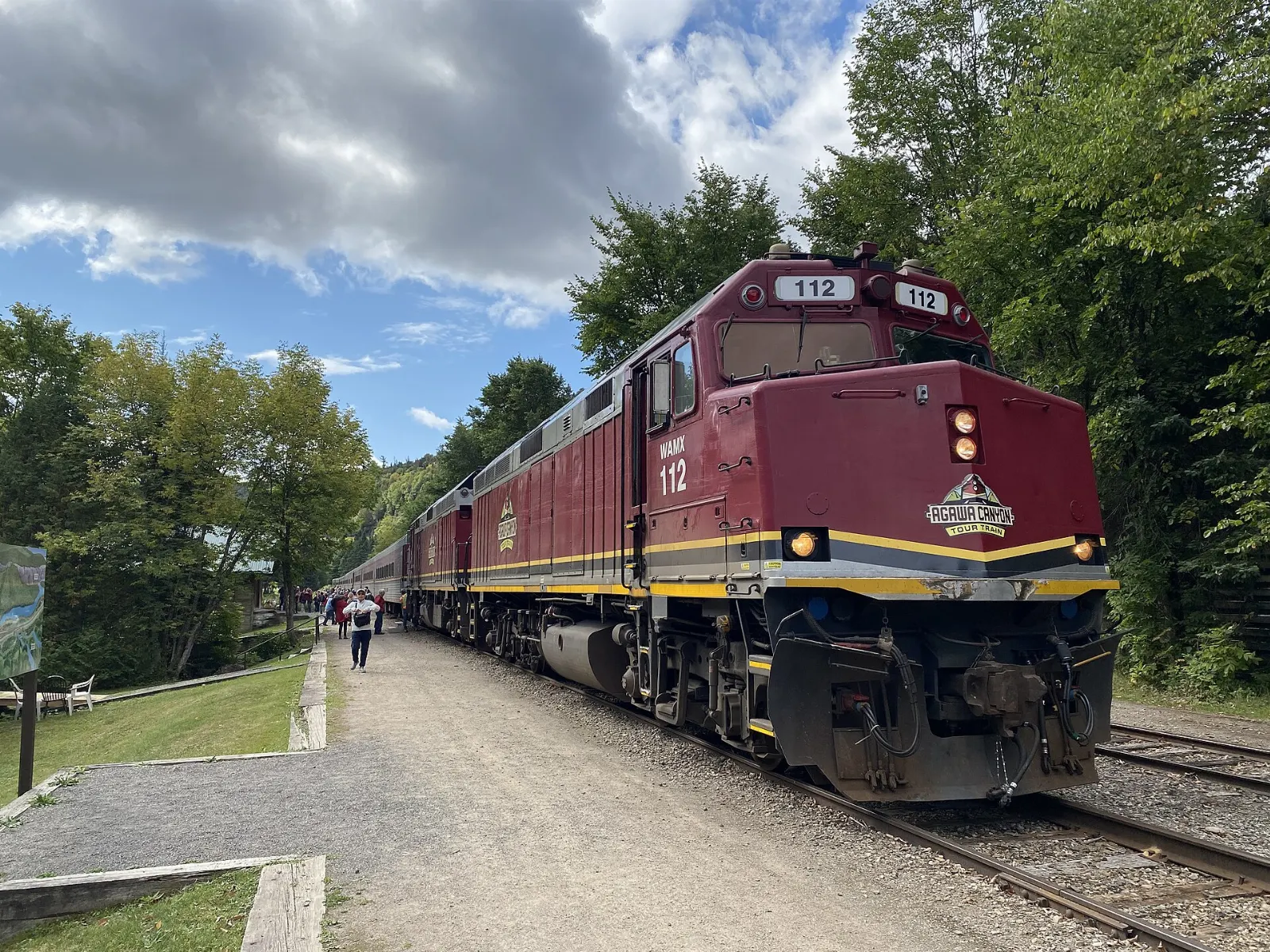
The tour train leaves from Sault Ste. Marie and travels non stop with narration to the canyon, 114 rail miles to the north. It usually includes a stopover of about three hours at the canyon, and the whole outing fills a day.
The canyon stopover and the Lookout Trail
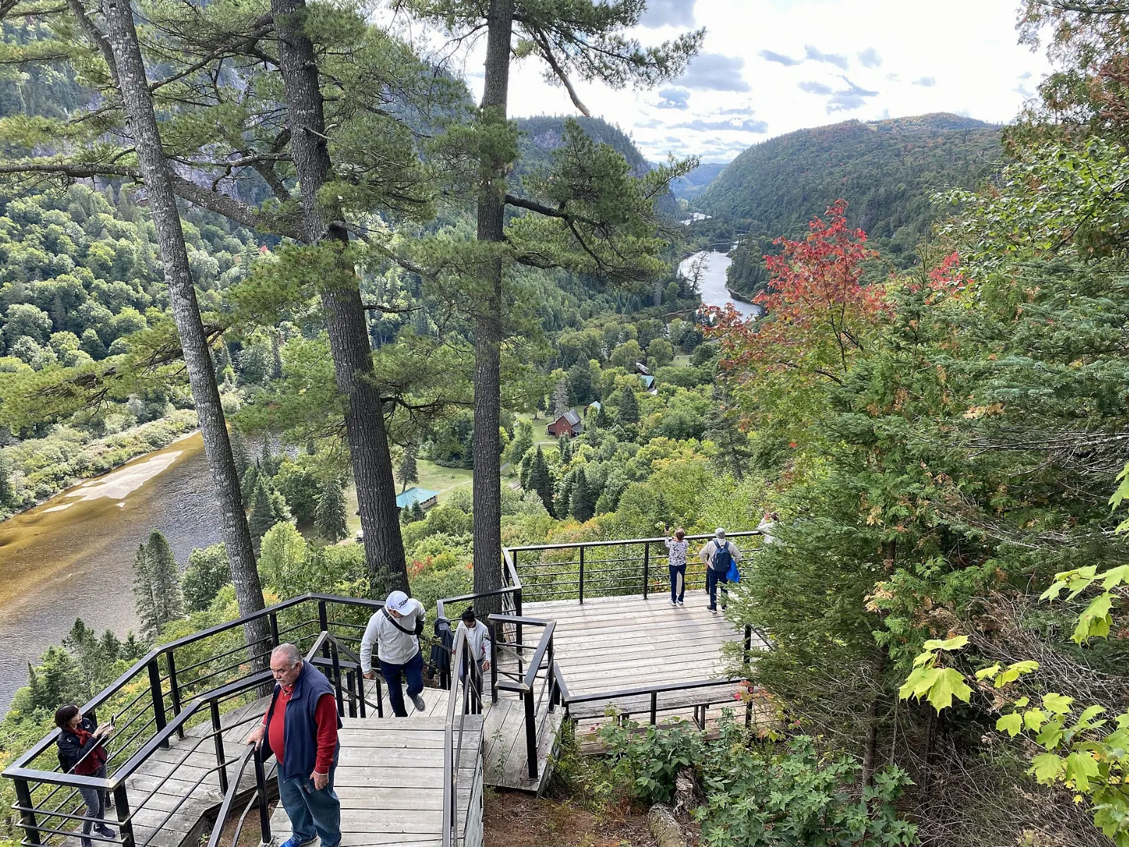
Agawa Canyon Wilderness Park is reached only by the railway or a hiking trail, and short nature trails cross the park, including the Lookout Trail, Otter Creek Trail, River Trail and Talus Trail. The Lookout is the main goal, a viewing platform about 76 metres above the tracks, reached by 372 steps.
Bridal Veil Falls
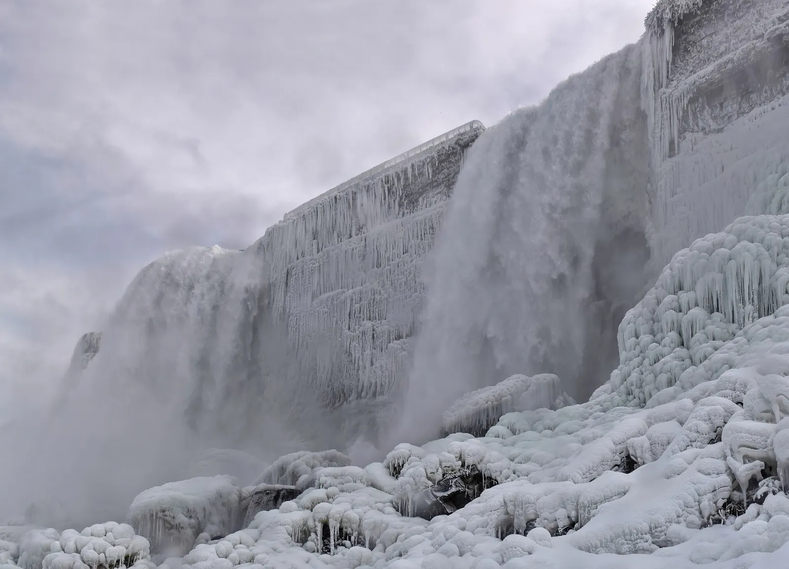
Four waterfalls drop from the canyon rim into the Agawa River, and Bridal Veil Falls is the tallest at about 68 metres. Look for it as you walk the trails, and bring a camera that handles shade and bright water well.
Black Beaver Falls and Otter Creek Falls
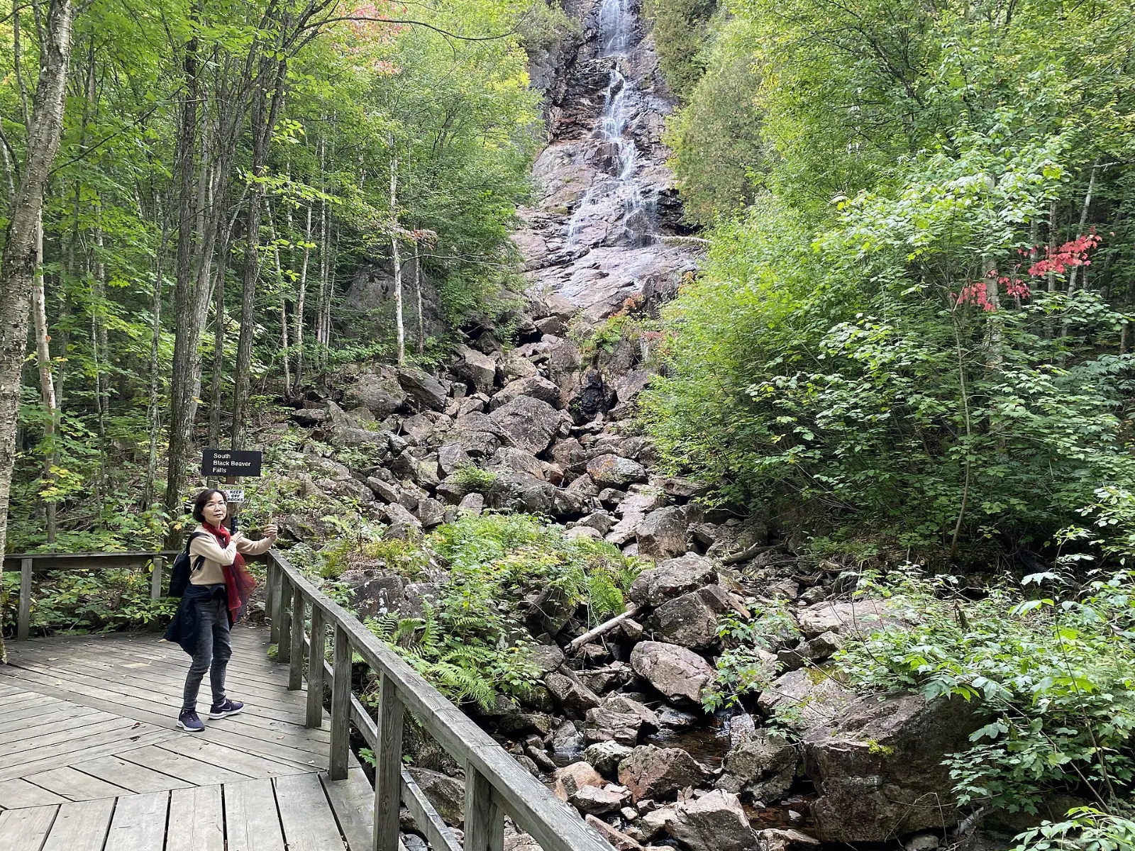
The North and South Black Beaver Falls each drop about 53 metres, while Otter Creek Falls is the shortest at about 14 metres. Otter Creek also provides natural spawning beds for speckled trout, and beaver and otter are common in the river.
Sault Ste. Marie before and after the ride
Canadian Bushplane Heritage Centre
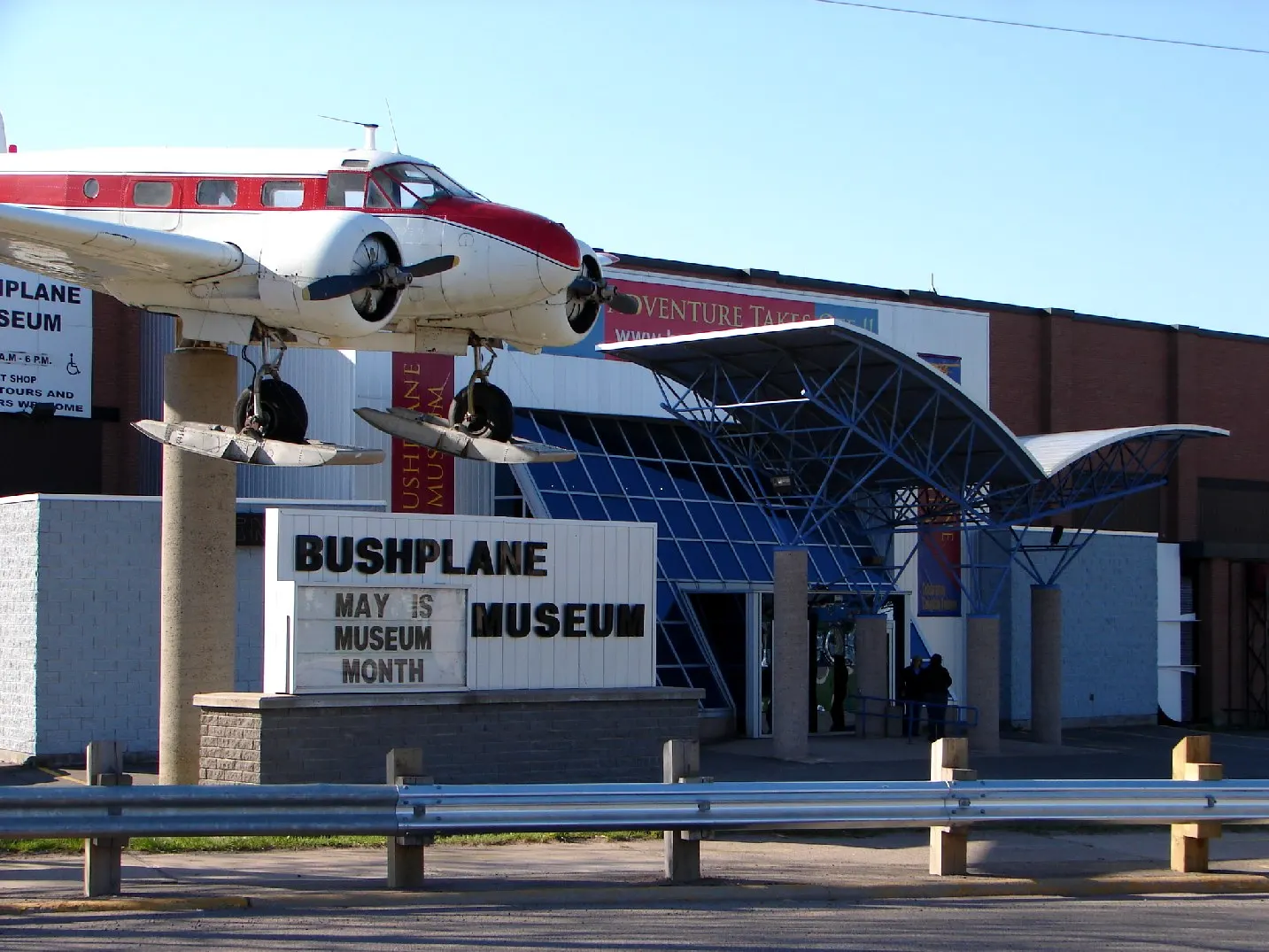
On Pim Street near the waterfront, this museum tells the story of the bush planes that opened up Northern Ontario, with about 29 aircraft including an early Beaver float plane. There is also a flight simulator and a fire tower.
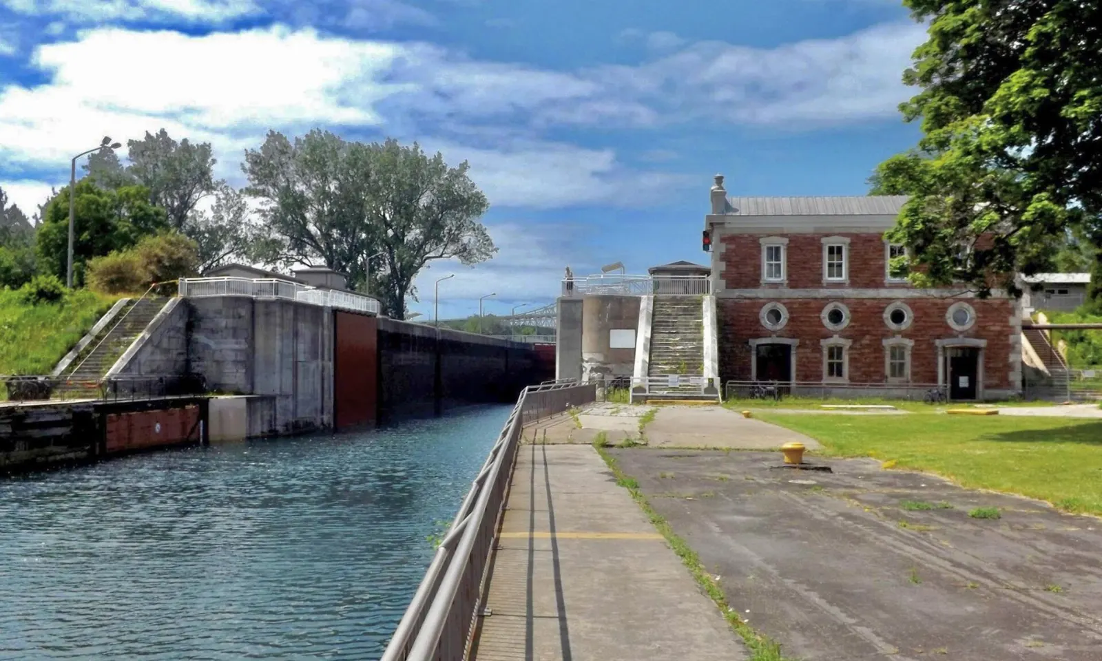
Sault Ste. Marie Canal National Historic Site
The canal was built so ships could bypass the St. Marys River rapids, and its lock was once the longest in the world and the first powered by electricity.
Ermatinger-Clergue National Historic Site
This site on Bay Street includes the Ermatinger Old Stone House, restored to show life in the early 1800s, along with a Heritage Discovery Centre with interactive exhibits. It gives a strong sense of the fur trade era that shaped the Sault.
Lake Superior Provincial Park and the highway north
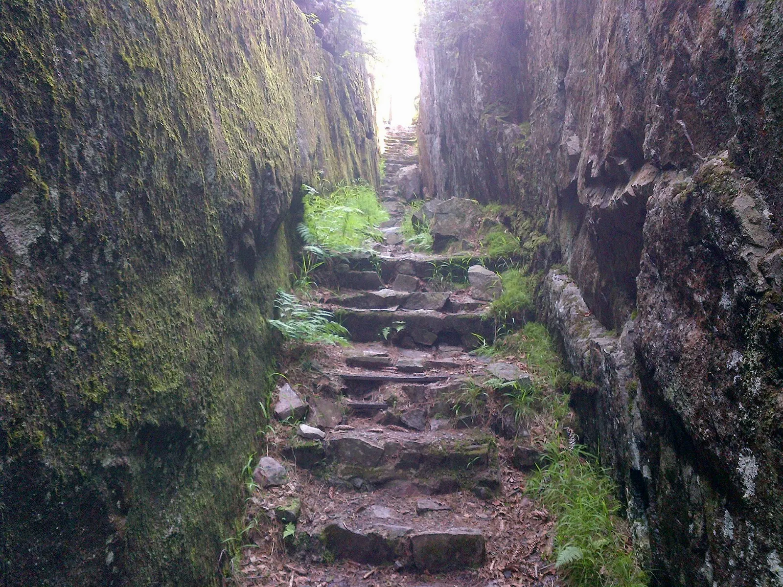
Agawa Rock Pictographs
At Agawa Rock, near the mouth of the Agawa River, Ojibwe artists painted figures with hematite and animal fat that are estimated to be 150 to 400 years old.
Old Woman Bay
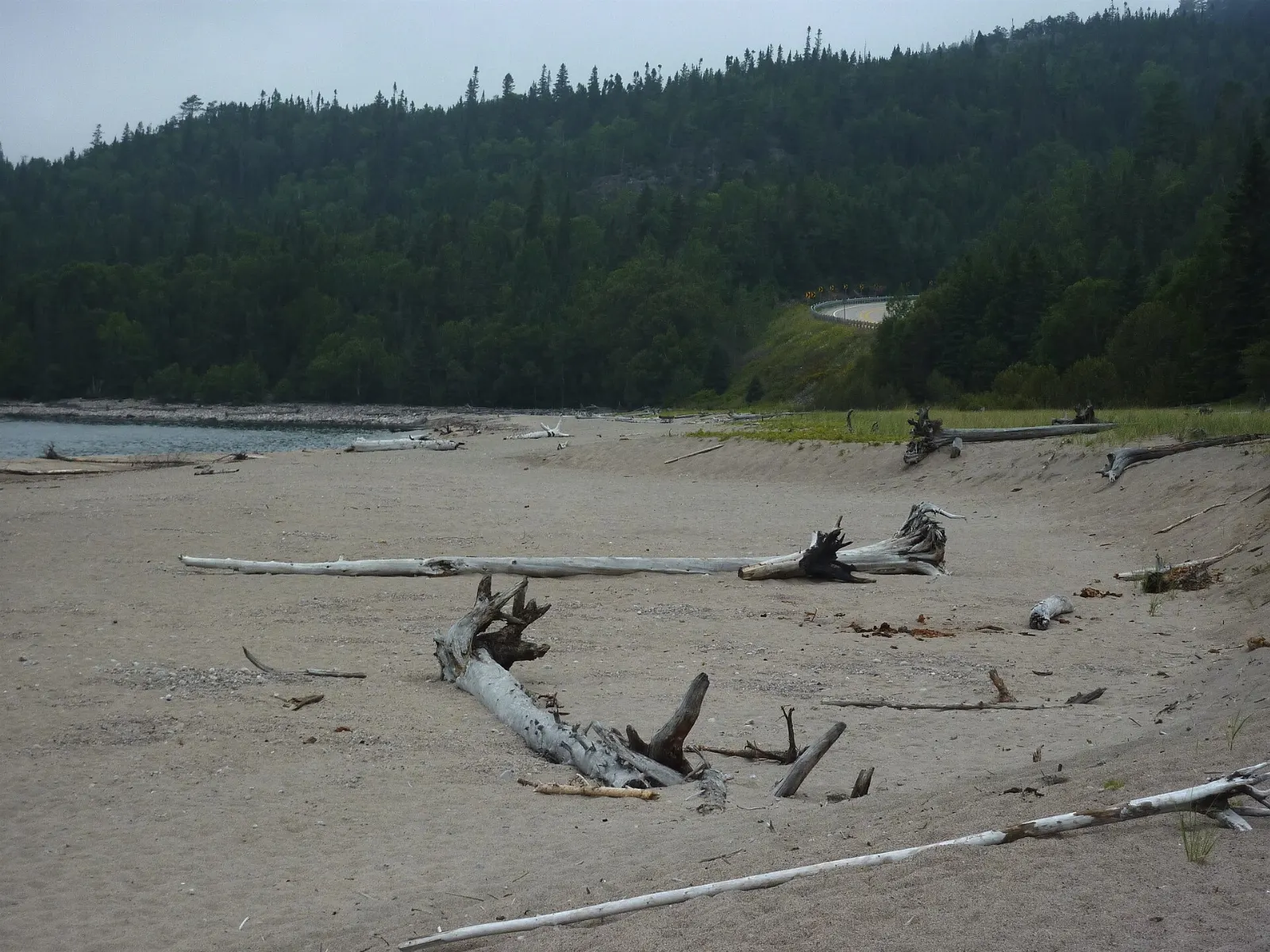
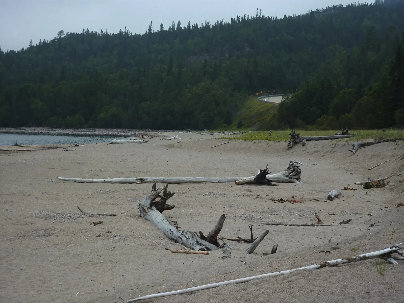
Off Highway 17, Old Woman Bay is a spectacular sand beach set against a cliff about 200 metres high that is said to resemble the face of an old woman. Picnic tables and toilets are available, and the Nokomis hiking trail starts across the road.
Katherine Cove
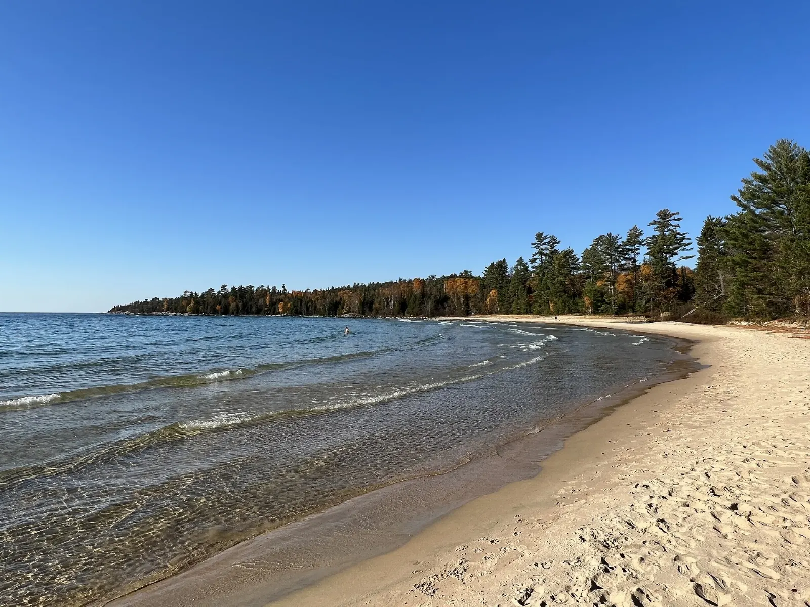
This sheltered cove has a sandy beach and a picnic area, and nearby Bathtub Island gets its name from a natural pool in the rock. It is a good place for a stop on the drive.
Wawa and the Goose
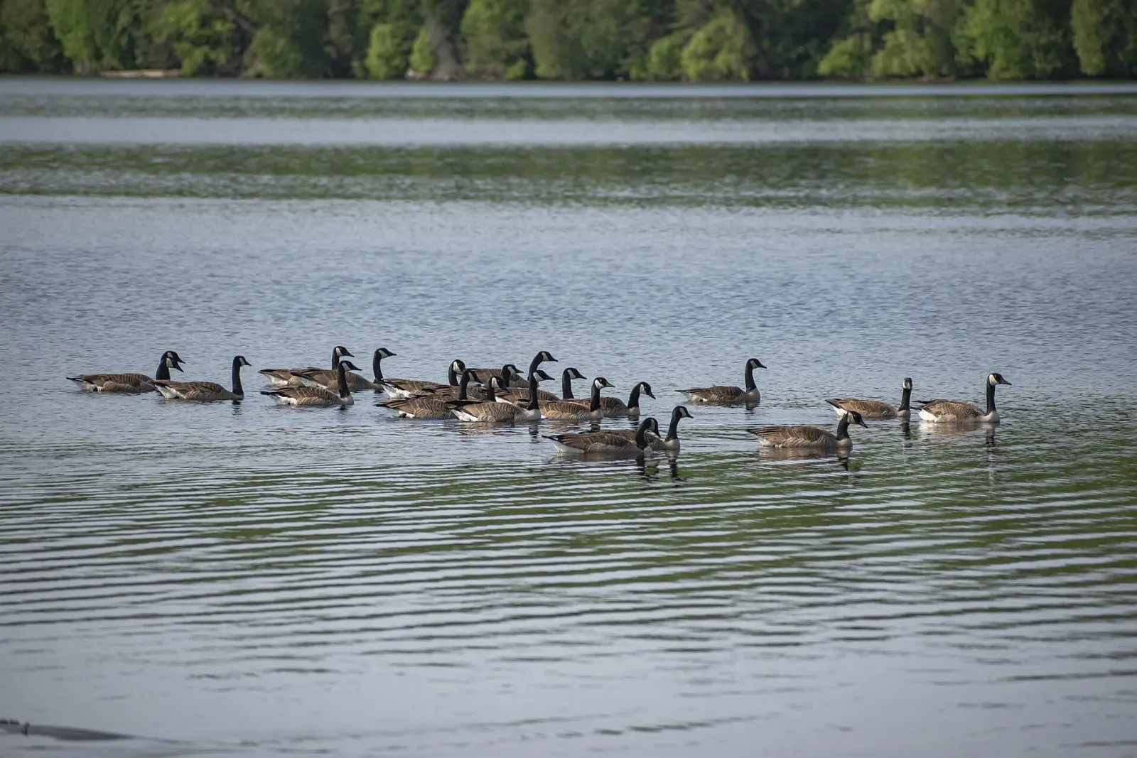
About 20 kilometres north of the park, the town of Wawa is known for its 8.5 metre metal Canada goose, built in 1960. The name comes from the Ojibwe word for wild goose.
 Planning a trip to Agawa Canyon?Compare hotels, flights and vacation rentals for Agawa Canyon on Expedia.Book now
Food and local flavors
Algoma cooking leans on lake and forest. Lake whitefish is a classic from Lake Superior and is often served fried or baked in simple restaurants, while lake trout and other cold water fish are popular catches in the park. Butter tarts, the sweet pastry shells with a gooey filling, are a point of pride across Ontario and turn up at bakeries and roadside stops. Maple syrup is another Ontario staple, poured on breakfast dishes or bought as a souvenir.
Popular dishes to try in Agawa Canyon


Where to stay
Downtown Sault Ste. Marie is the best base for the train, since the tour begins and ends in the city and you can find restaurants, museums and waterfront paths within walking distance. Goulais River suits drivers who want a quieter overnight about half an hour south of the park, with roadside motel options. Lake Superior Provincial Park has campgrounds at Agawa Bay and Rabbit Blanket Lake, ideal for tent campers, trailers and anyone who wants to wake up near the shore, though they operate seasonally.
Where to stay in Agawa Canyon


Best time to visit
The tour train has long run from mid June to mid October, and the last weeks of September and early October are especially popular for the autumn colours. Summer brings warm weather and the longest daylight for coastal stops, and the pictographs at Agawa Rock are accessible from mid May to mid September. Winter is possible for hardy travellers, since the canyon gets more than 450 centimetres of snow a year and the railway has run winter excursions in some seasons, but services in the park close.
Getting there and getting around
Sault Ste. Marie is the gateway. It has an airport with scheduled flights, and Highway 17, the Trans-Canada, brings drivers from Sudbury in about four hours and from Thunder Bay in about eight along the Lake Superior shore. The tour train starts in the city and is the usual way into the canyon, since the park has no road access. For the coast, Lake Superior Provincial Park lies about 120 kilometres north of the Sault and 20 kilometres south of Wawa on Highway 17, and a daily Ontario Northland bus runs between Sault Ste. Marie, Agawa Bay and Wawa.
A suggested itinerary
First day
Spend the day in Sault Ste. Marie. Visit the Canadian Bushplane Heritage Centre, walk the boardwalk beside the St. Marys River and tour the Sault Ste. Marie Canal.
Second day
Ride the Agawa Canyon Tour Train. Climb the Lookout first, then see the waterfalls and walk the river trail before boarding for the return.
Third day
Drive Highway 17 north to Lake Superior Provincial Park.
Practical tips
- Book the tour train early for autumn colour dates, since it is a popular period.
- Wear sturdy shoes for the 372 steps to the Lookout.
- Pack layers, because the canyon and the Lake Superior shore are cooler than the city.
- Bring water, snacks and insect repellent, since services are limited between the Sault and Wawa.
- Buy a vehicle permit for day use in Lake Superior Provincial Park.