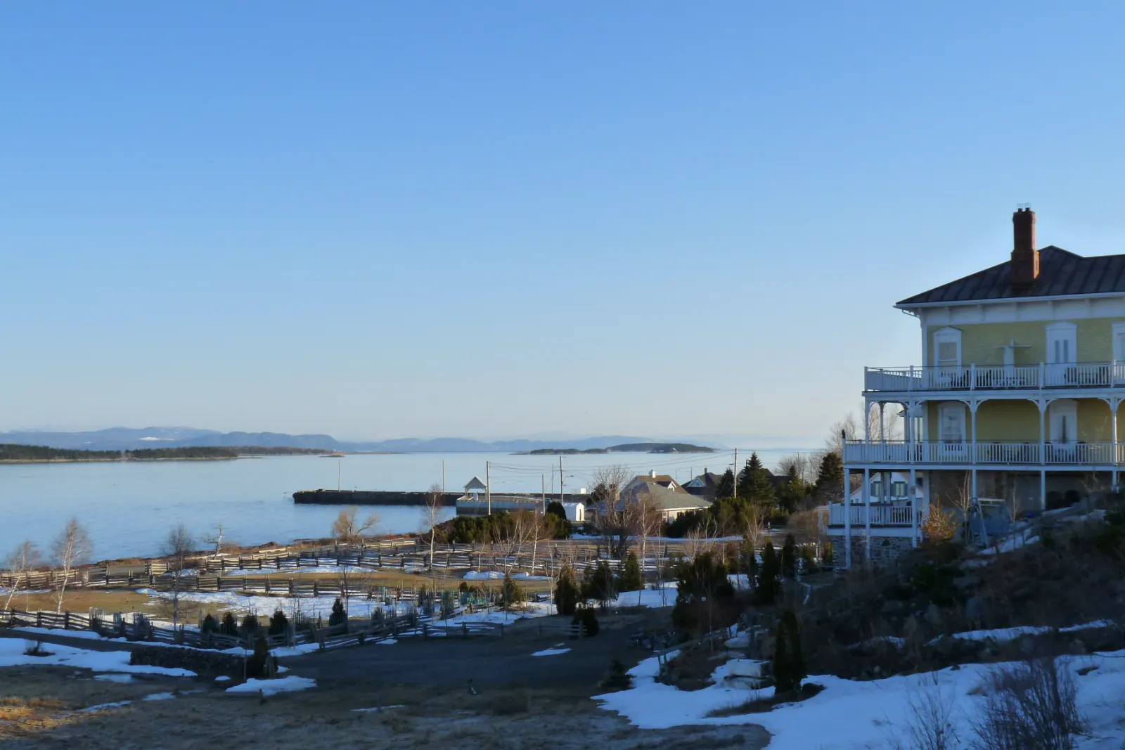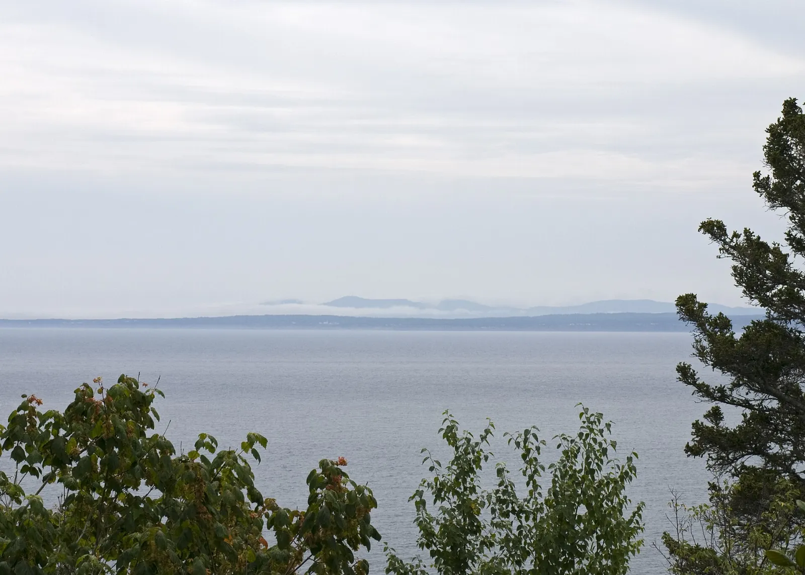
Forillon National Park sits at the far eastern tip of Quebec's Gaspé Peninsula, where the Chic-Choc Mountains meet the sea. In about 242 square kilometres it packs in sea cliffs, sand spits, salt marshes, forested mountains and a restored fishing village.
AT A GLANCE
Best time
Summer and early autumn are best, since most park services close from mid-October until early June.
How long
Two full days let you cover the south and north sectors without rushing.
Getting there
Drive Route 132 to Gaspé, then continue about 19 km to the main entrance at La Penouille.
Why visit Forillon National Park
Forillon offers a rare mix of habitats in a small space. Within a short drive you can stroll a sand spit with boreal forest, climb a mountain for a view of three bodies of water, and watch seabirds from cliffs that rise out of the Gulf of St. Lawrence.
It also carries a layered human story. The Mi'kmaq hunted and fished here long before Europeans arrived, fishing families later built a community at Grande-Grave, and the park's creation in 1970 remains part of local memory, which the visitor sites explain frankly.
The park is compact enough that you can sample several landscapes in a day, yet large enough that quiet corners are easy to find.
The south sector
La Penouille and the taiga trail
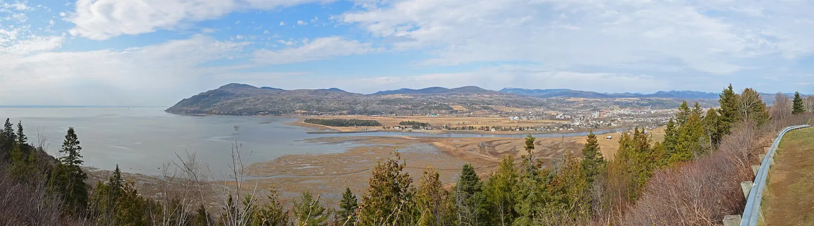
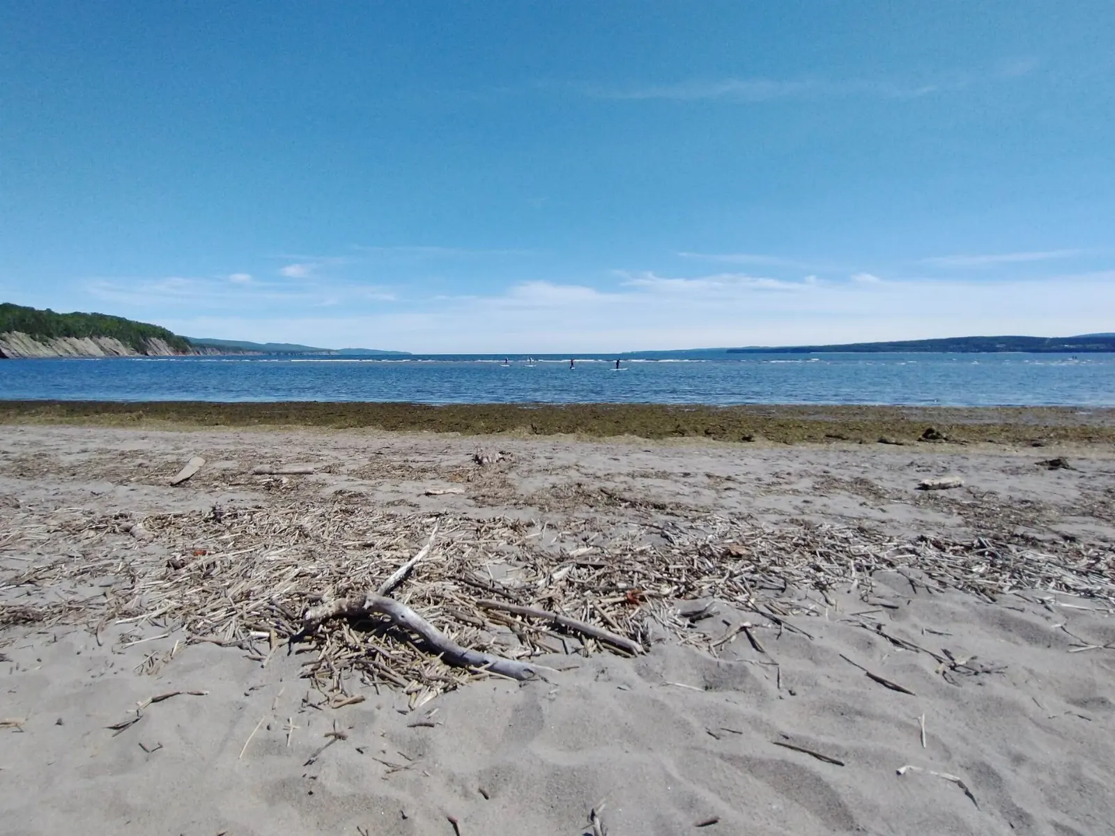
The main entrance is at La Penouille, a long sand spit that reaches into Gaspé Bay. Walk the short La Taïga trail through some of the southernmost boreal forest on the planet, and stop at the viewing blind to watch herons feeding in the marsh.
Fort Peninsula
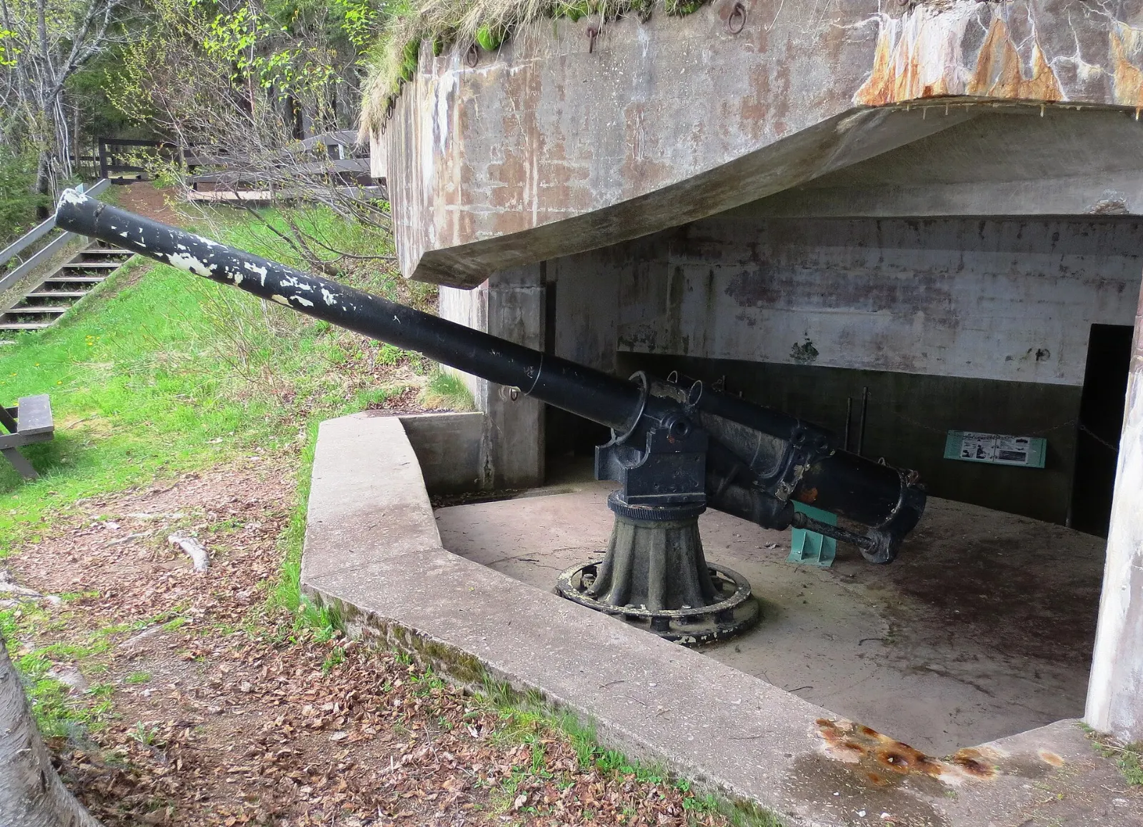
This is Quebec's only fully preserved Second World War shoreline battery, part of the naval base known as HMCS Fort Ramsay. You can walk through underground corridors and see old guns still pointing out to sea.
Grande-Grave heritage site
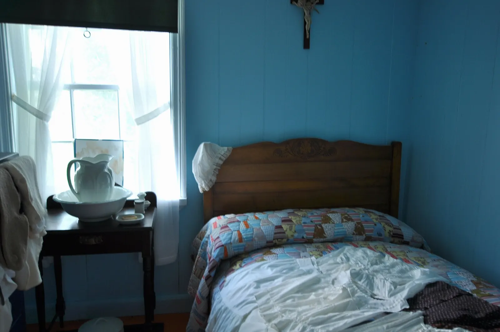
The restored fishing village shows how families lived from the cod fishery. The Hyman and Sons General Store has period goods on its shelves, Blanchette House has guides in costume, and Dolbel-Roberts House covers the many communities who settled here and the families moved out when the park was created.
Cap Gaspé and the coast
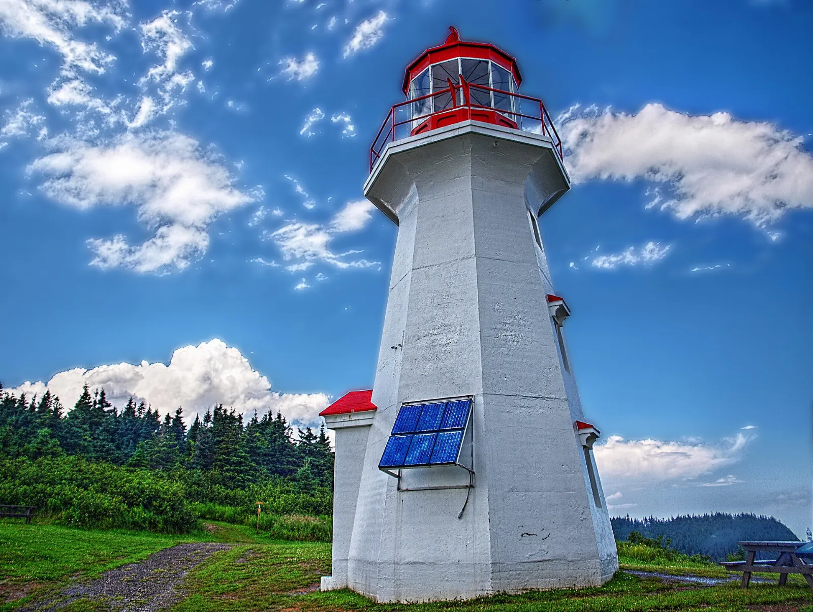
Cap-Gaspé lighthouse and Cap Gaspé
The cape that gives the region its name lies at the end of the Les Graves trail, which also forms the end of the International Appalachian Trail.
Cap Bon-Ami
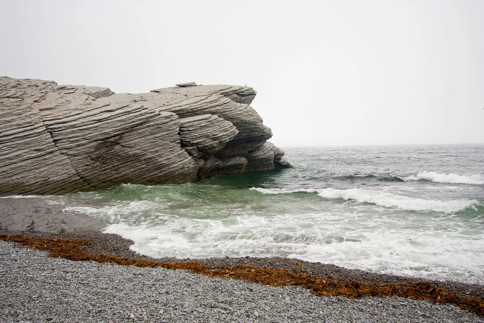
Here sheer cliffs meet a small pebble cove, with black-legged kittiwakes and other seabirds nesting on the rock faces. A short stroll leads to viewpoints, and a campground and the Mont-Saint-Alban trailhead are close by.
Mont-Saint-Alban observation tower
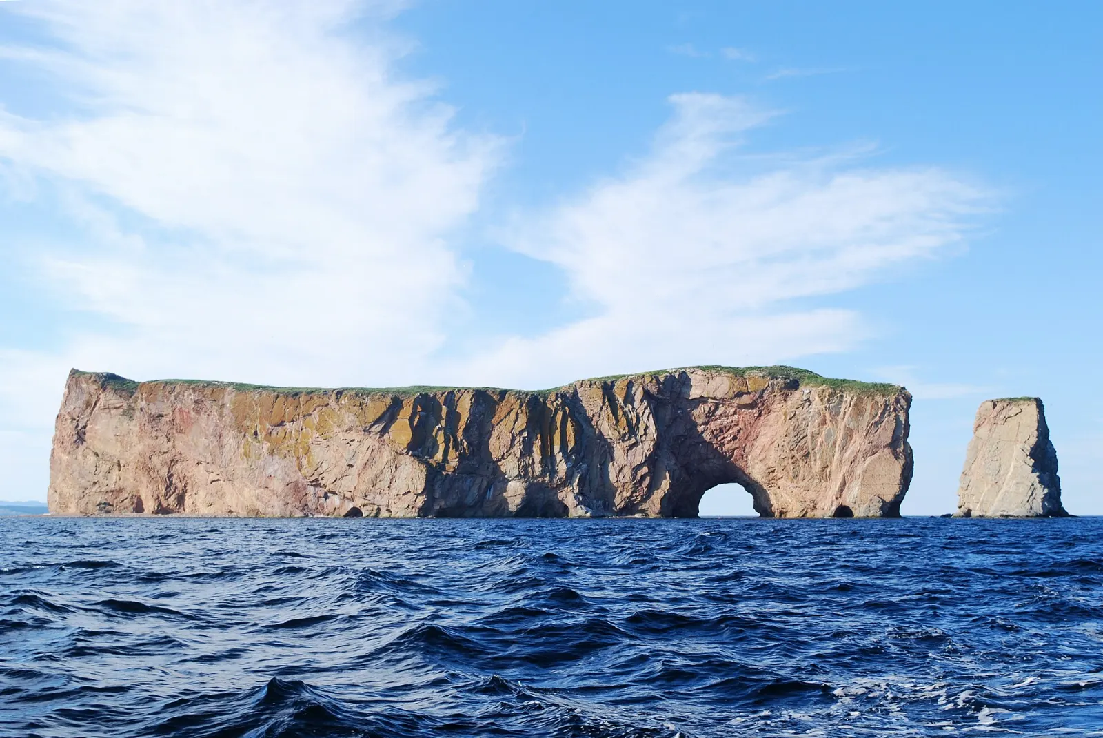
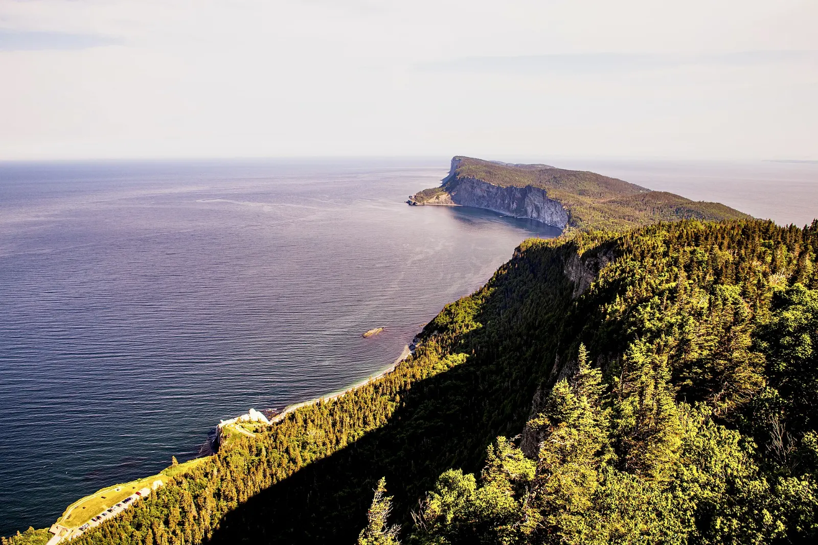
A moderate trail climbs to a ten metre tower with a 360-degree view over Forillon, Cap Bon-Ami, Cap Gaspé and the open water. On clear days Bonaventure Island and Percé Rock can be seen far off.
The north sector and the water
Cap-des-Rosiers and L'Anse-au-Griffon
The north entrance is near Cap-des-Rosiers, and the L'Anse-au-Griffon visitor centre is useful for maps and information. This side is quieter and suits travelers arriving along the south shore of the St. Lawrence.
Prélude à Forillon and La Chute
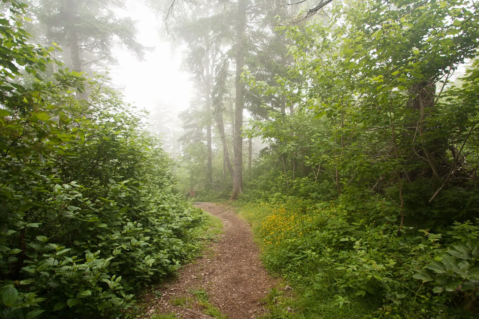
Prélude à Forillon is a short boardwalk behind the north interpretation centre, and it is the only fully wheelchair-accessible trail in the park. La Chute is a one-kilometre loop to a small waterfall among maple and cedar trees.
Whale watching and kayaking
Cruises, sea kayaking and paddleboarding trips operate in season, and fin, humpback and minke whales are common in nearby waters.
Food and local flavors
Gaspesian cooking is hearty. The most famous dish is cipaille, a layered pie of cubed meat, potato and onion baked under a crust, often made with fish in a typically Gaspesian version.
Inside the park, only simple snack bars operate, so plan to eat in Gaspé or one of the villages along Route 132. Berries are a regional specialty, and roadside stands sell raspberries and blueberries in season.

Popular dishes to try in Forillon National Park


Where to stay
There are no hotels inside Forillon, but the park has three campgrounds, including ready-made oTENTik tents. For a hotel or guesthouse, the nearest base is Gaspé, which has the widest choice of restaurants, shops and services.
Percé, a short distance south, is known for its famous rock and offers many inns and cottages.
Cap-des-Rosiers is a small village near the north entrance with simple lodgings. It suits visitors who want to be close to the north sector and prefer quiet evenings by the sea.
Where to stay in Forillon National Park


Best time to visit
Summer is the main season, with daytime highs seldom above about 25 degrees Celsius and cool nights. Park services, visitor centres and heritage buildings operate from about June to mid-October, so those months are the most convenient.
Winters are long and extremely snowy, with services closed and spotty mobile coverage, so only experienced visitors should come then. Whale watching is best in the warmer months, and the sea breeze can be strong in the afternoon on the south shore, so plan boat trips for mornings.
Getting there and getting around
Most visitors drive. Route 132 circles the Gaspé Peninsula, and the park is about 915 km from Montreal and 700 km from Quebec City.
Flights from Montreal and Quebec City reach Michel-Pouliot Airport in Gaspé, with car rentals nearby and a short drive to the park.
Inside the park, a car is the easiest way to reach trailheads and heritage sites. Check Parks Canada for the current entrance requirements, shuttle options and seasonal road information before you go.
A suggested itinerary
First day
Enter at La Penouille, walk the taiga trail and visit Fort Peninsula. Spend the afternoon at the Grande-Grave heritage site and finish with dinner in Gaspé.
Second day
Hike or cycle to Cap Gaspé and its lighthouse in the morning.
Third day
Use the north sector for the boardwalk and waterfall, then drive to Percé if time allows.
Practical tips
- Buy or confirm your Parks Canada entry permit before you start exploring.
- Bring warm layers and wind protection, even in July.
- Follow Parks Canada wildlife guidance, because black bears and moose live in the interior.
- Keep to marked trails in the taiga and salt marsh to protect fragile plants.
- Stay back from cliff edges, which can be eroded and unstable.