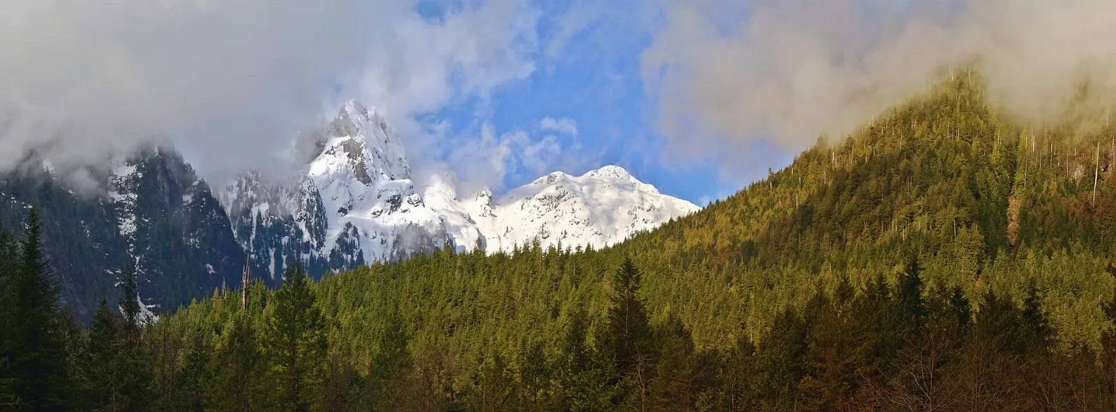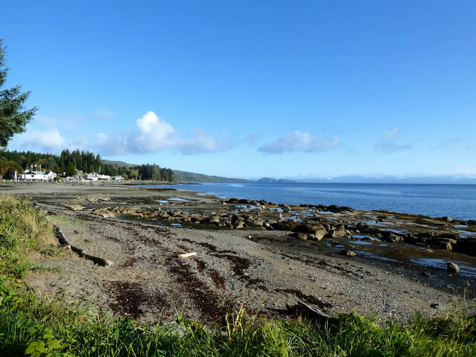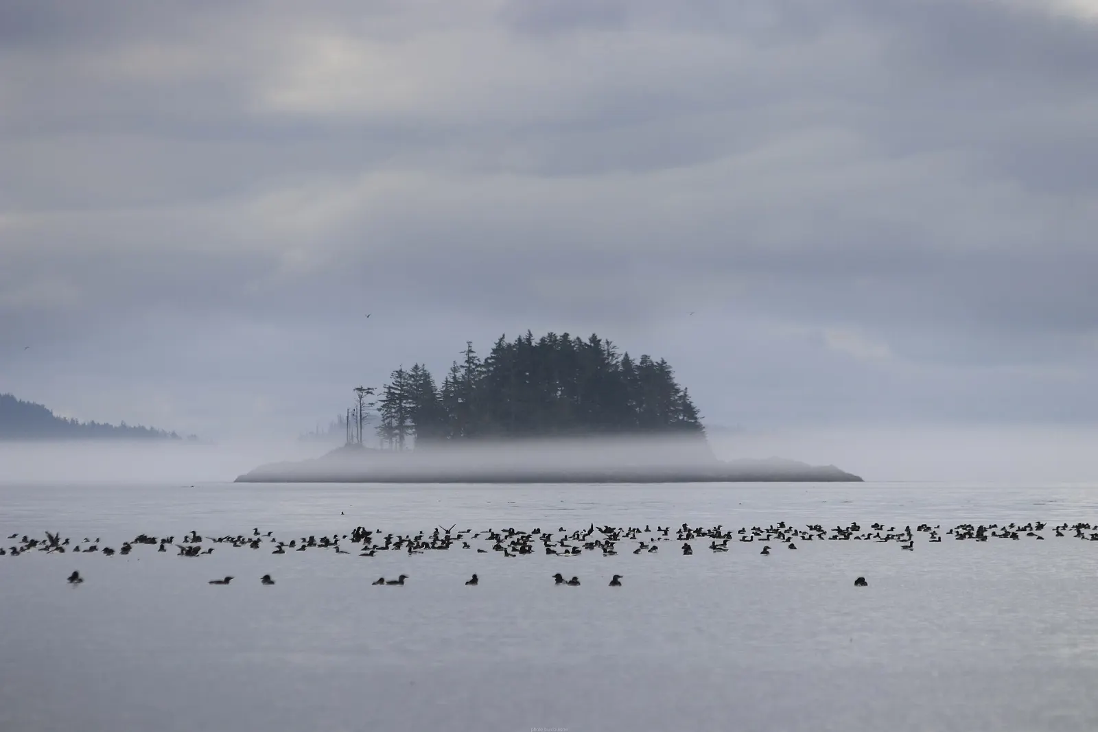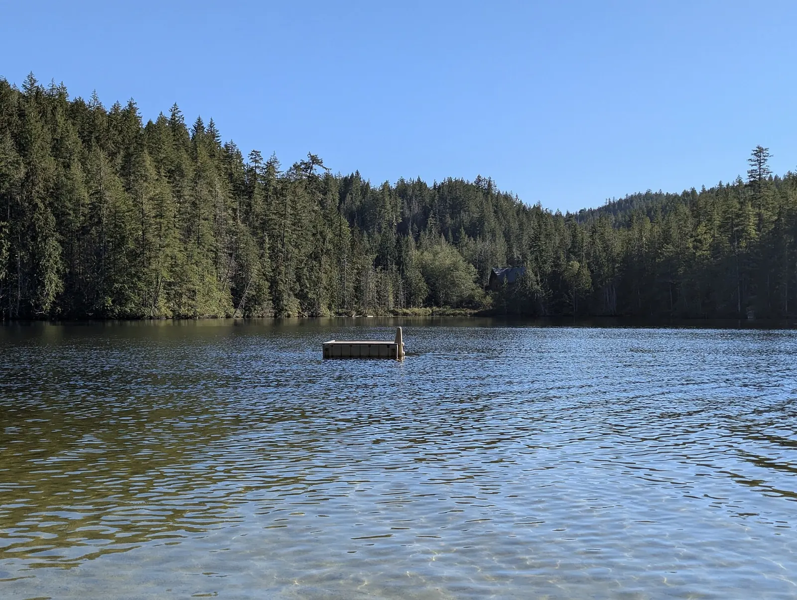
The Sunshine Coast is a long stretch of rainforest, seashore and mountains northwest of Vancouver, reached only by ferry or floatplane. Small harbour towns, hiking trails, artist studios and strong tidal rapids give it plenty to do.
AT A GLANCE
Best time
Summer is the easiest season, with long days and the best conditions for the outdoors.
How long
Allow three to five days, since the coast is long and ferries add time.
Getting there
Take BC Ferries from Horseshoe Bay to Langdale, then follow Highway 101.
Why visit the Sunshine Coast
The Sunshine Coast takes its name from about 2,400 hours of sunshine a year and stretches about 180 kilometers along the coast. Although it is on the mainland, there is no road in.
That separation gives the coast a slower pace. It is known for marine parks, old-growth forest, hiking and a strong arts scene.
Wildlife is part of the draw too. The coast is home to bald eagles, seals, sea lions, orcas and great blue herons, and tide pools along the shore hold anemones and other small sea life.
Because the region is long and split by water, it works best if you choose a few bases and travel between them slowly, instead of trying to see everything from one place.
The lower coast
Gibsons
Gibsons is the first stop for most visitors, a few minutes from the Langdale ferry terminal.

Roberts Creek
Roberts Creek lies about halfway between Gibsons and Sechelt and has a small-town feel. It is a good place for a beach stop, a slow coffee and a wander.
Sechelt
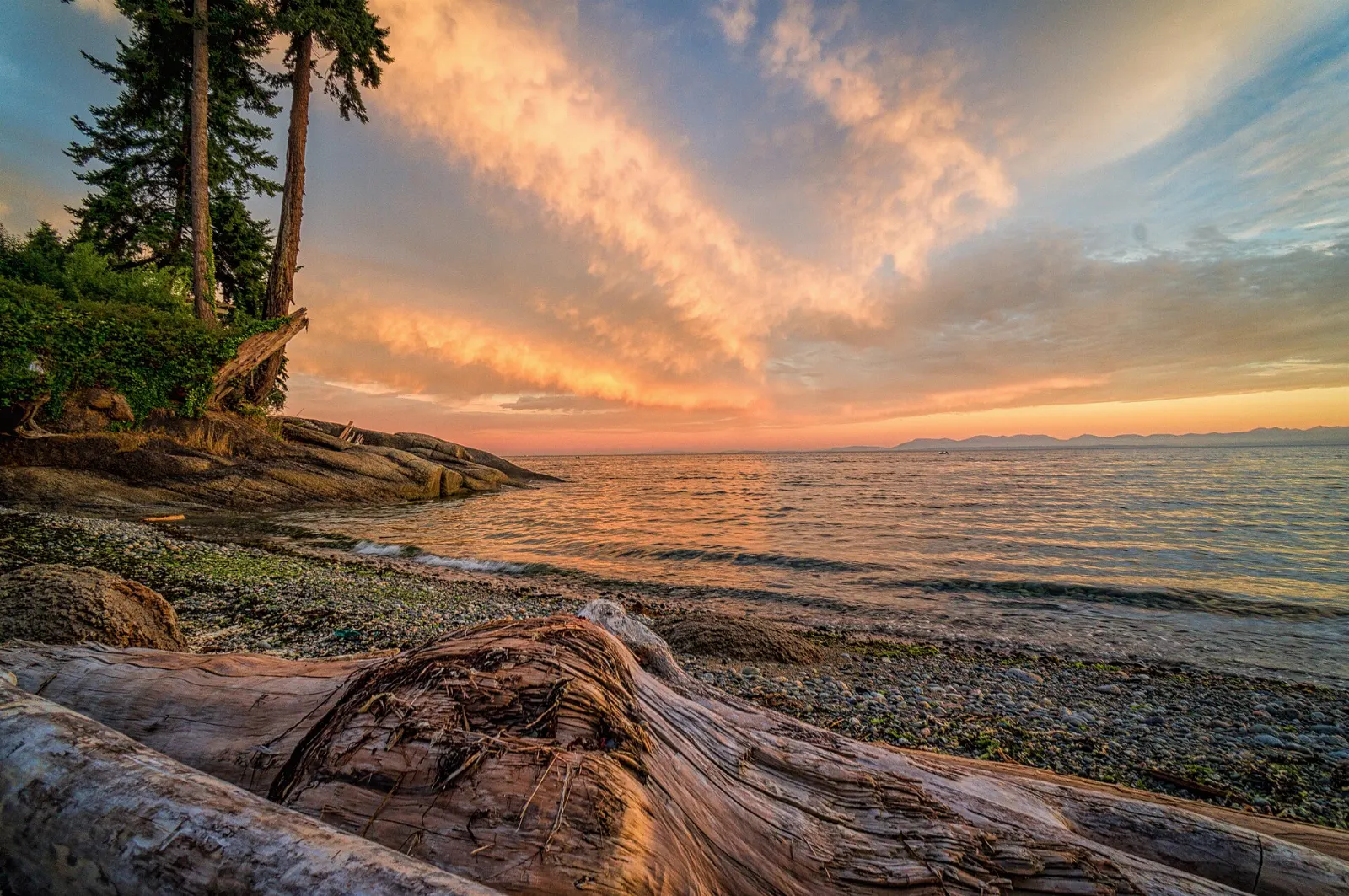
Sechelt sits on a narrow isthmus between the Strait of Georgia and Sechelt Inlet. Its name comes from the shíshálh people, whose territory this is.
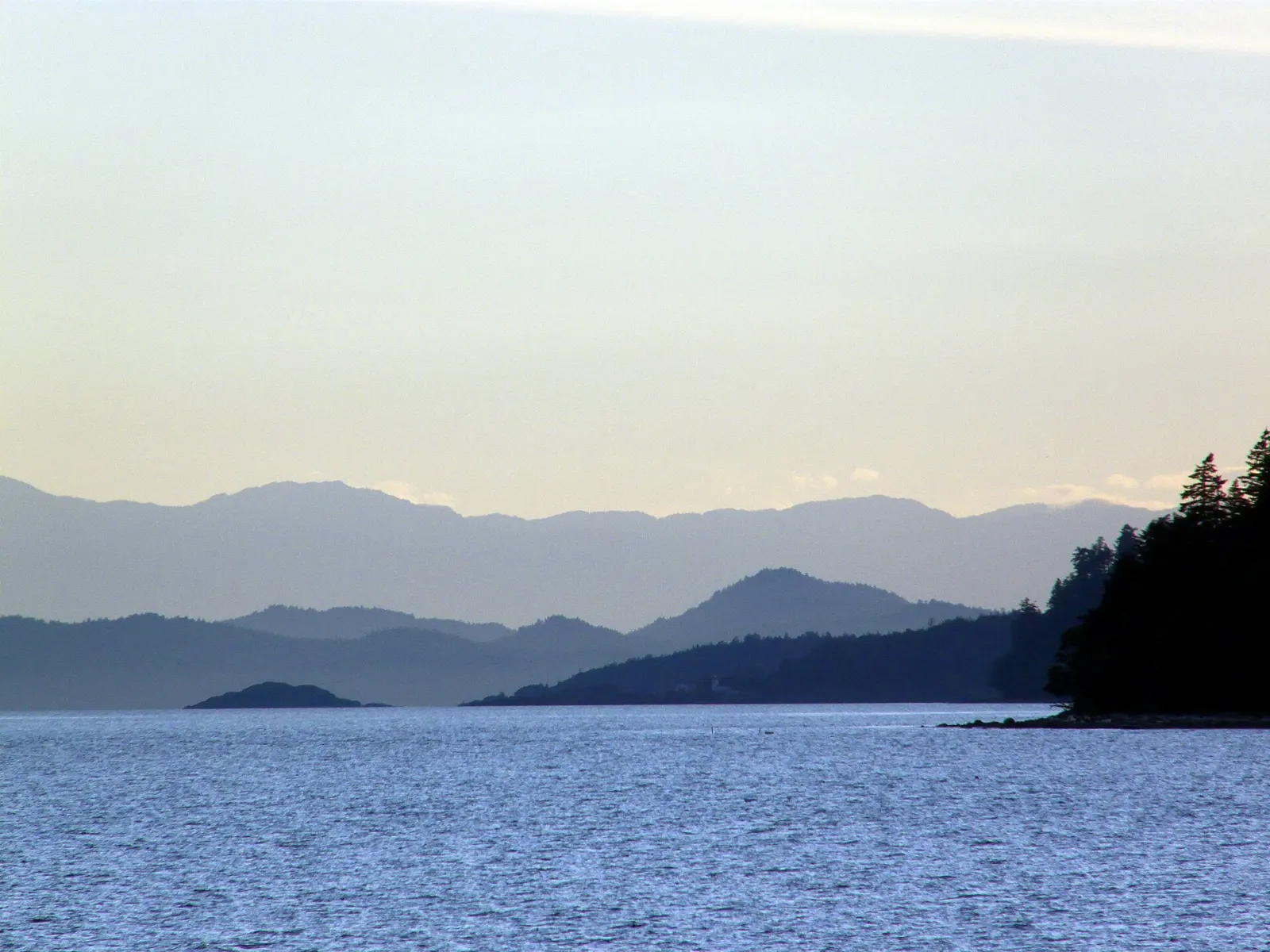
Smuggler Cove Marine Provincial Park
About sixteen kilometers west of Sechelt, this sheltered cove has trails, swimming and kayaking. Part of the park is wetland, so stay on the marked path.
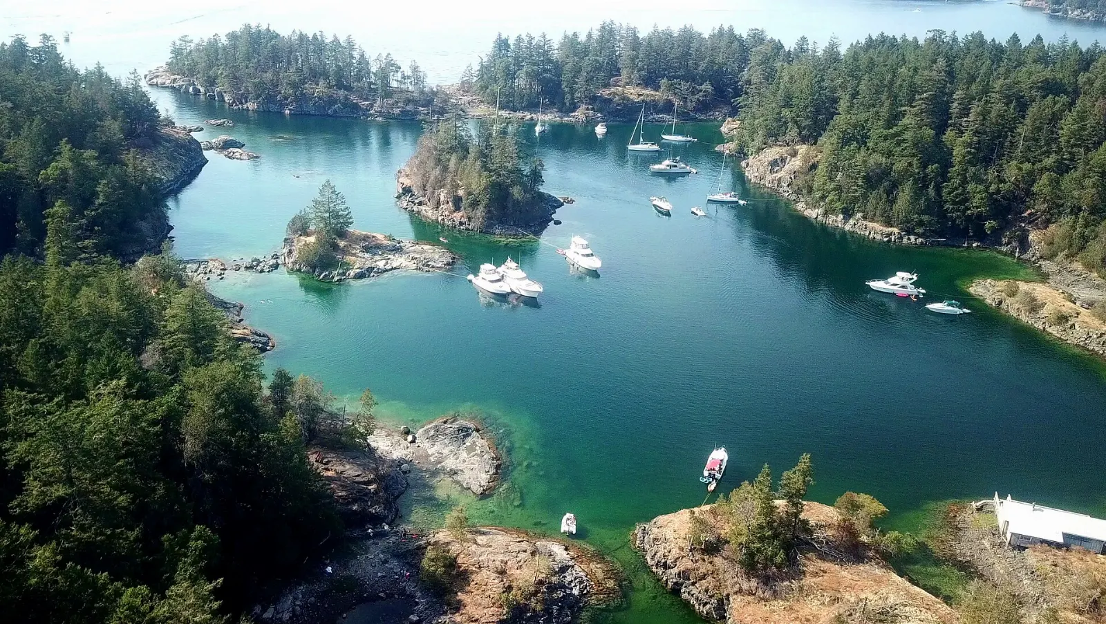
Inlets and Pender Harbour
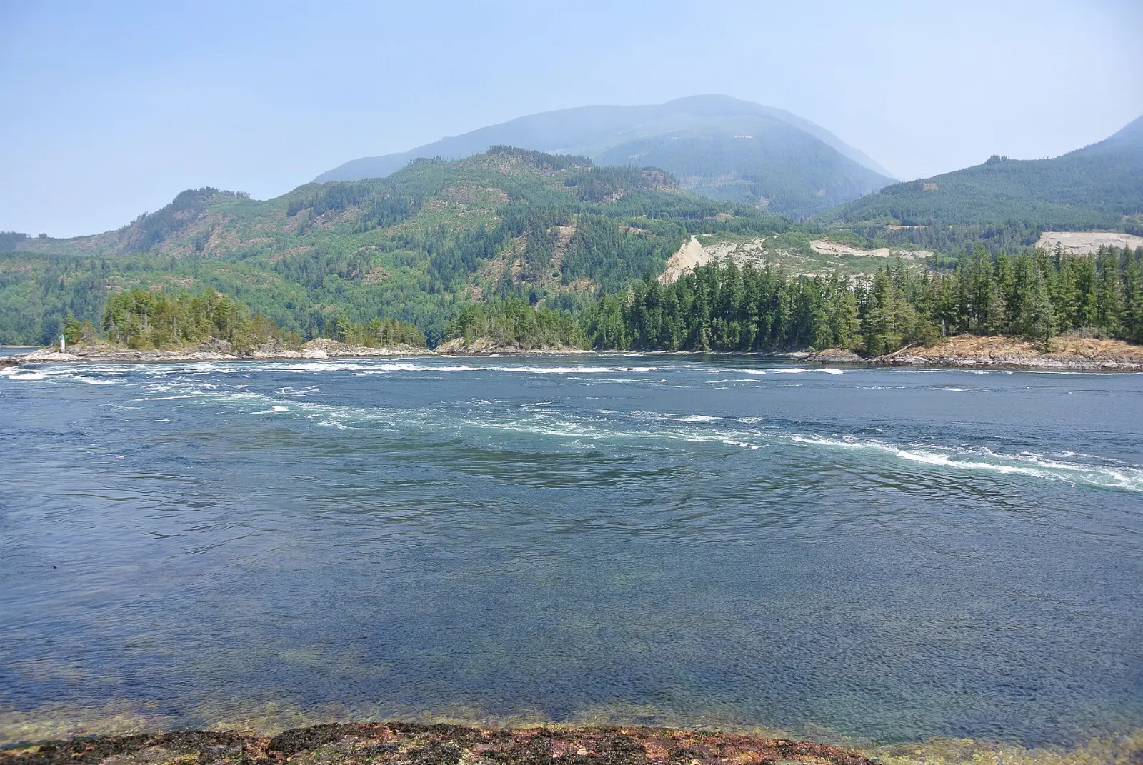
Skookumchuck Narrows
Near Egmont, the narrows at the entrance to Sechelt Inlet produce some of the strongest tidal currents in western North America. Water can race at up to 16 knots, with standing waves and whirlpools.
Pender Harbour
Pender Harbour is a network of bays and coves with more than sixty kilometers of shoreline. It includes the communities of Madeira Park and Garden Bay.
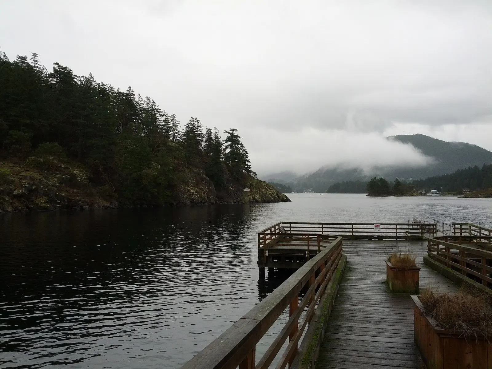
Princess Louisa Inlet
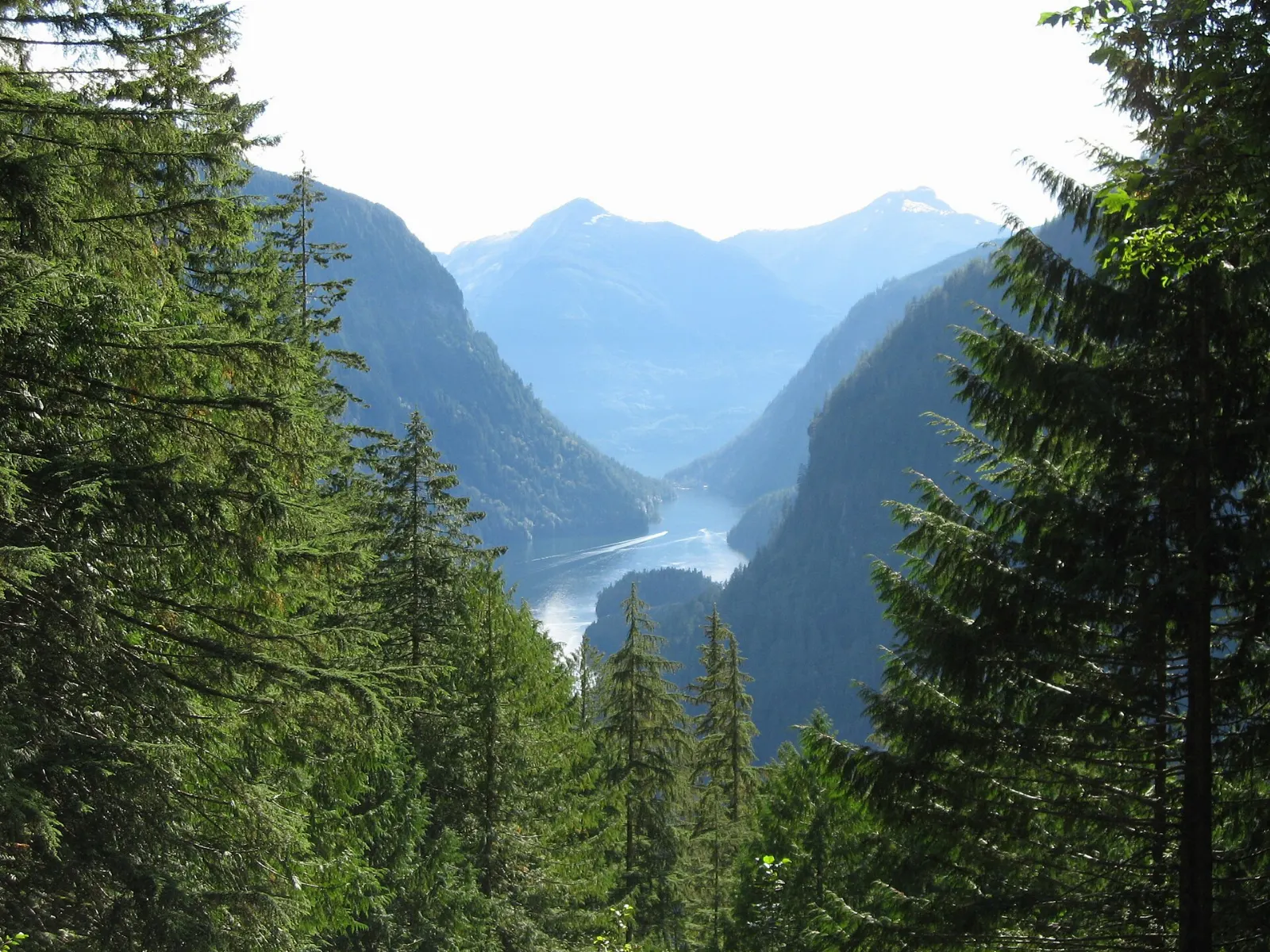
This fjord at the end of Jervis Inlet can be reached only by boat. Tours leave from Egmont during summer. On the way you pass waterfalls, and at the head of the inlet is Chatterbox Falls in Princess Louisa Marine Provincial Park.
The upper coast
Powell River
Powell River is the largest town in the region and a center for outdoor recreation. You reach it by ferry across Jervis Inlet from Earls Cove to Saltery Bay, or by ferry from Comox on Vancouver Island.
Lund and Desolation Sound
Lund is a small harbour village at the north end of Highway 101, with a hotel dating from 1905.

Sunshine Coast Trail
The 180-kilometer Sunshine Coast Trail is the longest hut-to-hut hiking trail in Canada. It runs from Sarah Point to Saltery Bay and has many access points, so you can hike a short section as a day trip.
 Planning a trip to Sunshine Coast?Compare hotels, flights and vacation rentals for Sunshine Coast on Expedia.Book now
Food and local flavors
Seafood is the natural choice on a coast of inlets and harbours. Dungeness crab and Pacific oysters are West Coast favorites, so ask restaurants in Gibsons, Sechelt, Pender Harbour and Powell River what is fresh that day.
For something sweet, look for Nanaimo bars, the three-layer no-bake treat named after Nanaimo, British Columbia. Gibsons, Sechelt and Powell River all have a range of cafes and restaurants, and the region also has local breweries and a cider maker if you want to try a regional drink.
Popular dishes to try in Sunshine Coast


Where to stay
The coast is long, so pick a base that suits your plans and consider moving partway through your trip.
Gibsons suits first-time visitors and anyone who wants shops, restaurants and the harbour within walking distance.
Roberts Creek is a quieter option for travelers who want a relaxed seaside feel and easy access to beaches.
Sechelt works well for active travelers.
Pender Harbour is a good base for boaters, kayakers and anyone who wants a rural, forested setting on the water.
Where to stay in Sunshine Coast


Best time to visit
The Sunshine Coast is named for its sunshine, and summer is the easiest season for hiking, kayaking, boating and ferry travel. Long days make it simple to fit in a hike and a harbour dinner.
Summer is also the busiest time, so book ferries and lodging early. Tours to Princess Louisa Inlet run through the summer. Autumn brings the Sunshine Coast Art Crawl, with more than two hundred studios and galleries.
Getting there and getting around
BC Ferries is the main way in. The sailing from Horseshoe Bay in West Vancouver to Langdale, near Gibsons, takes about 40 minutes. A ferry crosses Jervis Inlet from Earls Cove to Saltery Bay in about 50 minutes, and Powell River connects to Comox on Vancouver Island in about an hour and twenty-five minutes.
Highway 101 is the only main road, and a car is the easiest way to get around. BC Transit buses link Langdale, Gibsons and Sechelt, and Powell River has its own service. The Sunshine Coast Connector bus links the lower coast on certain days, so check the current schedule.
A suggested itinerary
First day
Take the ferry to Langdale and explore Gibsons.
Second day
Visit Smuggler Cove in the morning, then drive north to Egmont for the Skookumchuck hike, timed with the tides.
Third day
Take the ferry from Earls Cove to Saltery Bay and head to Powell River.
Fourth day
Kayak or take a water taxi from Lund toward Savary Island or Desolation Sound before heading home.
Practical tips
- Check BC Ferries schedules and reserve sailings in summer, as lineups can be long.
- Rent a car in Vancouver if you want to save money, since rentals are generally cheaper there.
- Time your Skookumchuck visit with the tides using official tide tables.
- Book the Savary Island water taxi in advance.
- Keep a respectful distance from wildlife, and never approach seal pups on the beach.